
Targhee National Forest
Description
Trails in this region
Links
Facts
Reports
Guides and maps
Lodging
Organisations
Tour operators
GPS
Other
Books
Bol.com
Netherlands
Netherlands
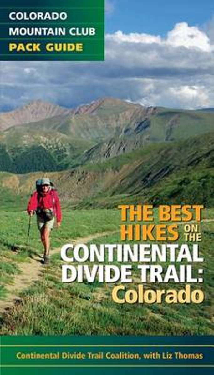
- The Best Hikes on the Continental Divide Trail
- Features 20 of the best hikes along the iconic Continental Divide Trail. Hike some of the more popular and accessible sections of the trail near Denver and Summit County, then venture out on an overnight trek across some of the most remote areas of the state. The Continental Divide Trail runs approximately 800 miles through Colorado, taking... Read more
- Also available from:
- Bol.com, Belgium
Bol.com
Belgium
Belgium
- The Best Hikes on the Continental Divide Trail
- Features 20 of the best hikes along the iconic Continental Divide Trail. Hike some of the more popular and accessible sections of the trail near Denver and Summit County, then venture out on an overnight trek across some of the most remote areas of the state. The Continental Divide Trail runs approximately 800 miles through Colorado, taking... Read more

Bol.com
Netherlands
Netherlands
- An Ultralighter's True Trail Stories
- Book two in the Journey series, this volume is filled with stories and ultralight backpacking tips from Carol "Brawny" Wellman. Trail descriptions for the Pacific Crest Trail, Appalachian Trail, John Muir Trail, Continental Divide Trail, Colorado Trail, Vermont Trail, Bartram Trail, including trail guide, plus the Foothills Trail. Learn how to... Read more
- Also available from:
- Bol.com, Belgium
Bol.com
Belgium
Belgium
- An Ultralighter's True Trail Stories
- Book two in the Journey series, this volume is filled with stories and ultralight backpacking tips from Carol "Brawny" Wellman. Trail descriptions for the Pacific Crest Trail, Appalachian Trail, John Muir Trail, Continental Divide Trail, Colorado Trail, Vermont Trail, Bartram Trail, including trail guide, plus the Foothills Trail. Learn how to... Read more
Bol.com
Netherlands
Netherlands
- Continental Divide Trail [Laminated]
- National Geographic's map of the Continental Divide Trail is ideal for fans and hikers of this magnificent National Scenic Trail. It makes a great planning tool or as reference to track progress on the 3,100 plus mile length. This beautiful map shows the entire length of the trail from Mexico to Canada through New Mexico, Colorado, Wyoming,... Read more
- Also available from:
- Bol.com, Belgium
Bol.com
Belgium
Belgium
- Continental Divide Trail [Laminated]
- National Geographic's map of the Continental Divide Trail is ideal for fans and hikers of this magnificent National Scenic Trail. It makes a great planning tool or as reference to track progress on the 3,100 plus mile length. This beautiful map shows the entire length of the trail from Mexico to Canada through New Mexico, Colorado, Wyoming,... Read more
Bol.com
Netherlands
Netherlands
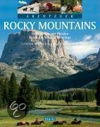
- Abenteuer Rocky Mountains
- Die wunderbar wilde Bergwelt der Rocky Mountains ist einer der wenigen Orte dieser Welt, an dem man noch wirkliche Abenteuer erleben kann. Günter Wamser und Sonja Endlweber sind mit vier Pferden entlang des 5000 Kilometer langen Continental Divide Trail von der mexikanischen zur kanadischen Grenze gereist, von den Wüsten New Mexicos durch die... Read more
- Also available from:
- Bol.com, Belgium
Bol.com
Belgium
Belgium
- Abenteuer Rocky Mountains
- Die wunderbar wilde Bergwelt der Rocky Mountains ist einer der wenigen Orte dieser Welt, an dem man noch wirkliche Abenteuer erleben kann. Günter Wamser und Sonja Endlweber sind mit vier Pferden entlang des 5000 Kilometer langen Continental Divide Trail von der mexikanischen zur kanadischen Grenze gereist, von den Wüsten New Mexicos durch die... Read more

- Also available from:
- Bol.com, Netherlands
- Bol.com, Belgium
Bol.com
Netherlands
Netherlands
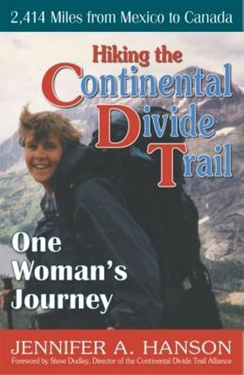
- Hiking the Continental Divide Trail
- An avid outsoorswoman, Jennifer Hanson with her husband set off to thru-hike the 2,400-mile Continental Divide Trail. Together they traversed the arid ranchlands of New Mexico, the snow-capped mountains of Colorado, the Red Desert of Wyoming, and Glacier National Park of Montana. Due to an injury, her husband left the trail and Jennifer... Read more
Bol.com
Belgium
Belgium
- Hiking the Continental Divide Trail
- An avid outsoorswoman, Jennifer Hanson with her husband set off to thru-hike the 2,400-mile Continental Divide Trail. Together they traversed the arid ranchlands of New Mexico, the snow-capped mountains of Colorado, the Red Desert of Wyoming, and Glacier National Park of Montana. Due to an injury, her husband left the trail and Jennifer... Read more
Bol.com
Netherlands
Netherlands
- Continental Divide Trail [In Gift Box]
- National Geographic's map of the Continental Divide Trail is ideal for fans and hikers of this magnificent National Scenic Trail. It makes a great planning tool or as reference to track progress on the 3,100 plus mile length. This beautiful map shows the entire length of the trail from Mexico to Canada through New Mexico, Colorado, Wyoming,... Read more
- Also available from:
- Bol.com, Belgium
Bol.com
Belgium
Belgium
- Continental Divide Trail [In Gift Box]
- National Geographic's map of the Continental Divide Trail is ideal for fans and hikers of this magnificent National Scenic Trail. It makes a great planning tool or as reference to track progress on the 3,100 plus mile length. This beautiful map shows the entire length of the trail from Mexico to Canada through New Mexico, Colorado, Wyoming,... Read more
Bol.com
Netherlands
Netherlands
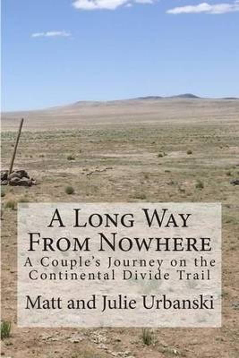
- A Long Way from Nowhere
- What is it like to hike the length of the Continental Divide Trail? For Matt and Julie, also known as Optimist and Stopwatch, life on the trail meant twenty-seven days without seeing another hiker, six bears encountered within fifteen hours, two sets of maps, a GPS, and a compass to find the trail, and both wildfires and massive flooding to add... Read more
- Also available from:
- Bol.com, Belgium
Bol.com
Belgium
Belgium
- A Long Way from Nowhere
- What is it like to hike the length of the Continental Divide Trail? For Matt and Julie, also known as Optimist and Stopwatch, life on the trail meant twenty-seven days without seeing another hiker, six bears encountered within fifteen hours, two sets of maps, a GPS, and a compass to find the trail, and both wildfires and massive flooding to add... Read more
Bol.com
Netherlands
Netherlands
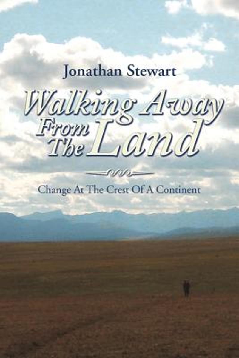
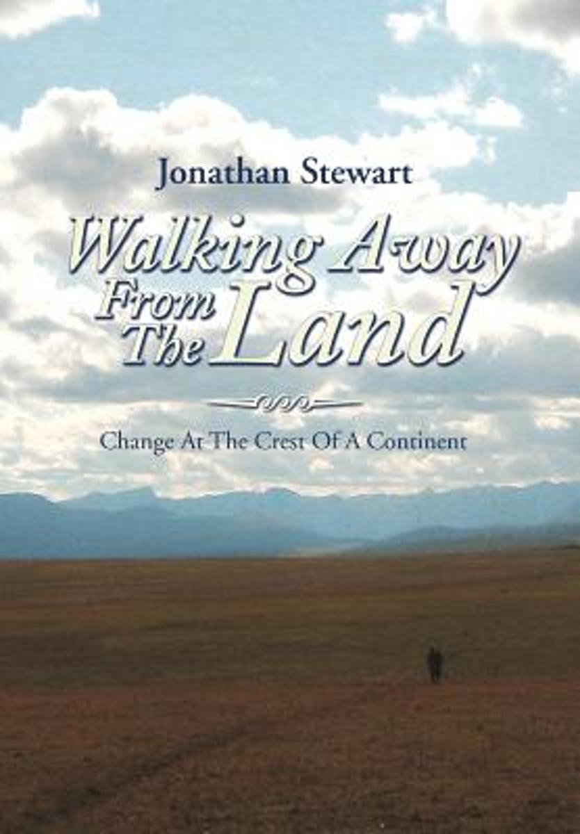
- Walking Away from the Land
- Walking Away from the Land focuses on the rapid cultural and climatic changes occurring at the crest of the North American continent. They are challenging the survival of our forests, grasslands, native wildlife, and our very civilization. This book details a three-summer Odyssey hiking the length of the Continental Divide Trail from the... Read more
- Also available from:
- Bol.com, Belgium
Bol.com
Belgium
Belgium
- Walking Away from the Land
- Walking Away from the Land focuses on the rapid cultural and climatic changes occurring at the crest of the North American continent. They are challenging the survival of our forests, grasslands, native wildlife, and our very civilization. This book details a three-summer Odyssey hiking the length of the Continental Divide Trail from the... Read more
Bol.com
Netherlands
Netherlands
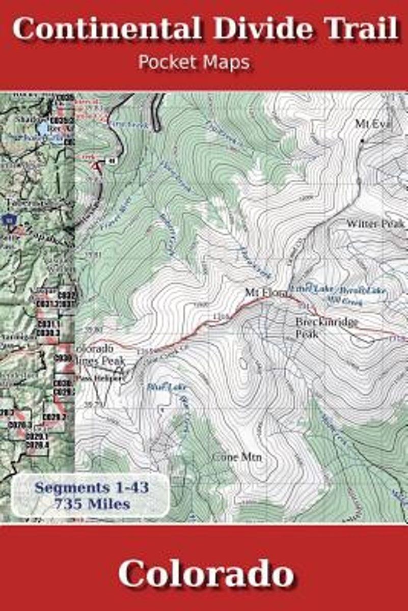
- Continental Divide Trail Pocket Maps - Colorado
- Colorado1st Edition - December 15, 2014The Continental Divide Trail Pocket Map Series is a complete and concise set of topographic maps created withdigitized base maps covering every step of the 3,016 mile trail from Mexico to Canada.The most current data available! This reflects the recently located, official CDTThe land cover, hydrology and... Read more
- Also available from:
- Bol.com, Belgium
Bol.com
Belgium
Belgium
- Continental Divide Trail Pocket Maps - Colorado
- Colorado1st Edition - December 15, 2014The Continental Divide Trail Pocket Map Series is a complete and concise set of topographic maps created withdigitized base maps covering every step of the 3,016 mile trail from Mexico to Canada.The most current data available! This reflects the recently located, official CDTThe land cover, hydrology and... Read more
Bol.com
Netherlands
Netherlands
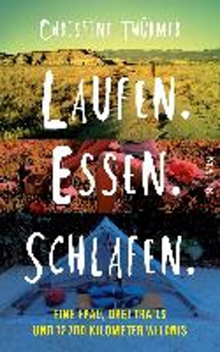
- Laufen. Essen. Schlafen.
- Als Christine Th rmer gek ndigt wird, beschlie t sie, sich eine Auszeit zu nehmen und auf dem Pacific Crest Trail von Mexiko nach Kanada zu wandern 4277 Kilometer. Eigentlich unsportlich, bricht sie zu ihrem Abenteuer auf und schafft es tats chlich bis ans Ziel. Und sie geht weiter, l uft den Continental Divide Trail und den Appalachian... Read more
- Also available from:
- Bol.com, Belgium
Bol.com
Belgium
Belgium
- Laufen. Essen. Schlafen.
- Als Christine Th rmer gek ndigt wird, beschlie t sie, sich eine Auszeit zu nehmen und auf dem Pacific Crest Trail von Mexiko nach Kanada zu wandern 4277 Kilometer. Eigentlich unsportlich, bricht sie zu ihrem Abenteuer auf und schafft es tats chlich bis ans Ziel. Und sie geht weiter, l uft den Continental Divide Trail und den Appalachian... Read more

Bol.com
Netherlands
Netherlands
- Continental Divide Trail Pocket Maps - Wyoming
- Wyoming1st Edition - December 15, 2014The Continental Divide Trail Pocket Map Series is a complete and concise set of topographic maps created withdigitized base maps covering every step of the 3,016 mile trail from Mexico to Canada.The most current data available! This reflects the recently located, official CDTThe land cover, hydrology and... Read more
- Also available from:
- Bol.com, Belgium
Bol.com
Belgium
Belgium
- Continental Divide Trail Pocket Maps - Wyoming
- Wyoming1st Edition - December 15, 2014The Continental Divide Trail Pocket Map Series is a complete and concise set of topographic maps created withdigitized base maps covering every step of the 3,016 mile trail from Mexico to Canada.The most current data available! This reflects the recently located, official CDTThe land cover, hydrology and... Read more

Bol.com
Netherlands
Netherlands
- Along Colorado's Continental Divide Trail
- Nature photographer John Fielder and writer M. John Fayhee combine their extraordinary talents in this stunning new coffee table book that beautifully showcases the wonders of Colorado's Continental Divide. A memorable mountain journey that readers will want to relive again and again. 175 color photos. Read more
- Also available from:
- Bol.com, Belgium
Bol.com
Belgium
Belgium
- Along Colorado's Continental Divide Trail
- Nature photographer John Fielder and writer M. John Fayhee combine their extraordinary talents in this stunning new coffee table book that beautifully showcases the wonders of Colorado's Continental Divide. A memorable mountain journey that readers will want to relive again and again. 175 color photos. Read more
Bol.com
Netherlands
Netherlands
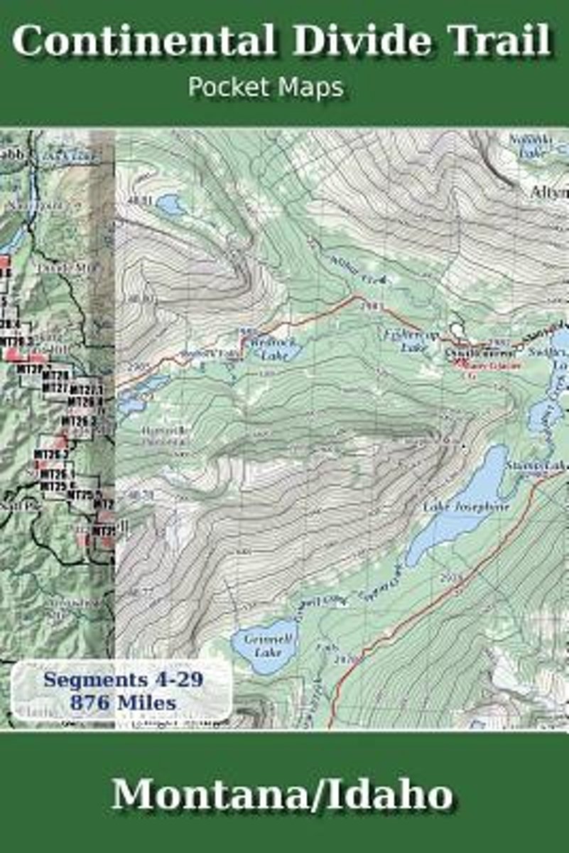
- Continental Divide Trail Pocket Maps - Montana/Idaho
- Montana & Idaho2nd Edition - November 5, 2017 - Major Updates for 2018The Continental Divide Trail Pocket Map Series is a current, complete and concise set of topographic maps created with digitized base maps covering every step of the 3,062 mile trail from Mexico to Canada. These are not 40 year old scanned USGS topographic maps.Features:+... Read more
- Also available from:
- Bol.com, Belgium
Bol.com
Belgium
Belgium
- Continental Divide Trail Pocket Maps - Montana/Idaho
- Montana & Idaho2nd Edition - November 5, 2017 - Major Updates for 2018The Continental Divide Trail Pocket Map Series is a current, complete and concise set of topographic maps created with digitized base maps covering every step of the 3,062 mile trail from Mexico to Canada. These are not 40 year old scanned USGS topographic maps.Features:+... Read more
Bol.com
Netherlands
Netherlands
- Walking Away from the Land
- Walking Away from the Land focuses on the rapid cultural and climatic changes occurring at the crest of the North American continent. They are challenging the survival of our forests, grasslands, native wildlife, and our very civilization. This book details a three-summer Odyssey hiking the length of the Continental Divide Trail from the... Read more
- Also available from:
- Bol.com, Belgium
Bol.com
Belgium
Belgium
- Walking Away from the Land
- Walking Away from the Land focuses on the rapid cultural and climatic changes occurring at the crest of the North American continent. They are challenging the survival of our forests, grasslands, native wildlife, and our very civilization. This book details a three-summer Odyssey hiking the length of the Continental Divide Trail from the... Read more
Bol.com
Netherlands
Netherlands
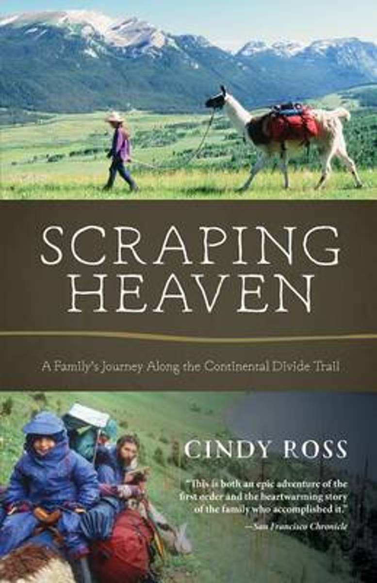
- Scraping Heaven
- More than 3,000 miles of trail by foot and mountain bikes with llamas and toddlers . . .What could go wrong? Scraping Heaven is the story of a family's adventurous trek over the rooftop of North America, a warm and heartfelt account with a powerful message for parents, long-distance hikers, and outdoor adventurers alike. The Continental Divide... Read more
- Also available from:
- Bol.com, Belgium
Bol.com
Belgium
Belgium
- Scraping Heaven
- More than 3,000 miles of trail by foot and mountain bikes with llamas and toddlers . . .What could go wrong? Scraping Heaven is the story of a family's adventurous trek over the rooftop of North America, a warm and heartfelt account with a powerful message for parents, long-distance hikers, and outdoor adventurers alike. The Continental Divide... Read more
Maps

Stanfords
United Kingdom
United Kingdom
- Many Glacier - Glacier and Waterton Lakes National Parks MT
- Map No. 313, Glacier National Park: North Fork, MT, in an extensive series of GPS compatible, contoured hiking maps of USA’s national and state parks or forests and other popular recreational areas. Cartography based on the national topographic survey, with additional tourist information.The maps, with most titles now printed on light,... Read more
- Also available from:
- Bol.com, Netherlands
- Bol.com, Belgium
- De Zwerver, Netherlands

Bol.com
Netherlands
Netherlands
- Many Glacier, Glacier National Park
- Waterproof Tear-Resistant Topographic MapLocated just north of Kalispell in Montana's northwest corner, Glacier National contains an abundance of recreational opportunities for outdoor enthusiasts of all interests.This detailed topographic recreation map contains carefully researched trails, campsites, forest service roads, and... Read more
Bol.com
Belgium
Belgium
- Many Glacier, Glacier National Park
- Waterproof Tear-Resistant Topographic MapLocated just north of Kalispell in Montana's northwest corner, Glacier National contains an abundance of recreational opportunities for outdoor enthusiasts of all interests.This detailed topographic recreation map contains carefully researched trails, campsites, forest service roads, and... Read more

De Zwerver
Netherlands
Netherlands
- Wandelkaart - Topografische kaart 314 Many Glacier - Glacier and Waterton Lakes National Parks | National Geographic
- Prachtige geplastificeerde kaart van het bekende nationaal park. Met alle recreatieve voorzieningen als campsites, maar ook met topografische details en wandelroutes ed. Door uitgekiend kleurgebruik zeer prettig in gebruik. Scheur en watervast! Located just north of Kalispell in Montana's northwest corner, Glacier National contains an... Read more

Stanfords
United Kingdom
United Kingdom
- Telluride - Silverton - Ouray - Lake City CO
- Map No. 141, Telluride - Silverton - Ouray - Lake City, CO, in an extensive series of GPS compatible, contoured hiking maps of USA’s national and state parks or forests and other popular recreational areas. Cartography based on the national topographic survey, with additional tourist information.The maps, with most titles now printed on light,... Read more
- Also available from:
- The Book Depository, United Kingdom
- Bol.com, Netherlands
- Bol.com, Belgium
- De Zwerver, Netherlands


Bol.com
Netherlands
Netherlands
- Telluride/silverton/ouray/lake City
- Waterproof Tear-Resistant Topographic MapExpertly researched and created in partnership with local land management agencies, National Geographic's Trails Illustrated map of Telluride, Silverton, Ouray, and Lake City provides an unparalleled tool for exploring this breathtaking region of Colorado. Whatever the season, you'll find this map... Read more
Bol.com
Belgium
Belgium
- Telluride/silverton/ouray/lake City
- Waterproof Tear-Resistant Topographic MapExpertly researched and created in partnership with local land management agencies, National Geographic's Trails Illustrated map of Telluride, Silverton, Ouray, and Lake City provides an unparalleled tool for exploring this breathtaking region of Colorado. Whatever the season, you'll find this map... Read more

De Zwerver
Netherlands
Netherlands
- Wandelkaart - Topografische kaart 141 Telluride, Silverton, Ouray, Lake City | National Geographic
- Prachtige geplastificeerde kaart van het bekende nationaal park. Met alle recreatieve voorzieningen als campsites, maar ook met topografische details en wandelroutes ed. Door uitgekiend kleurgebruik zeer prettig in gebruik. Scheur en watervast! Beautiful waterproof and tear-resistant topographical hiking map of a well-loved National Park, with... Read more

Stanfords
United Kingdom
United Kingdom
- Glacier - Waterton Lakes National Park MT
- Map No. 215, Glacier/Waterton Lakes National Park, MT, in an extensive series of GPS compatible, contoured hiking maps of USA’s national and state parks or forests and other popular recreational areas. Cartography based on the national topographic survey, with additional tourist information.The maps, with most titles now printed on light,... Read more
- Also available from:
- Bol.com, Netherlands
- Bol.com, Belgium
- De Zwerver, Netherlands

Bol.com
Netherlands
Netherlands
- Glacier/waterton Lakes National Parks
- Waterproof Tear-Resistant Topographic MapNational Geographic's Trails Illustrated map of Glacier and Waterton Lakes National Parks offers unparalleled detail for outdoor enthusiasts exploring the pristine landscape of forests, mountains, lakes, and meadows within these two spectacular parks. Created in partnership with local land... Read more
Bol.com
Belgium
Belgium
- Glacier/waterton Lakes National Parks
- Waterproof Tear-Resistant Topographic MapNational Geographic's Trails Illustrated map of Glacier and Waterton Lakes National Parks offers unparalleled detail for outdoor enthusiasts exploring the pristine landscape of forests, mountains, lakes, and meadows within these two spectacular parks. Created in partnership with local land... Read more

De Zwerver
Netherlands
Netherlands
- Wandelkaart - Topografische kaart 215 Glacier - Waterton Lakes National Park | National Geographic
- Prachtige geplastificeerde kaart van het bekende nationaal park. Met alle recreatieve voorzieningen als campsites, maar ook met topografische details en wandelroutes ed. Door uitgekiend kleurgebruik zeer prettig in gebruik. Scheur en watervast! Waterton Lakes National Park, Canada includes Waterton Park, Upper and Middle Waterton Lakes, The... Read more