Fogo
Description
Fogo - Fire - is without doubt the most sought after and adventurous hiking destination of all Cape Verdean islands. Getting there is an adventure in itself, because one has to fly to the island of Santiago and then take a small boat to Fogo, the forbidding island rising steeply out of the ocean.
The active volcano is almost 3.000 m high. One of the wonders is a village that is located in the centre of the impressive caldera with its 1.000 m high walls on the west side. One can stay overnight in Chã das Caldeiras, enjoy the excellent local wine and coffee, and next morning climb the Pico de Fogo and enjoy a fantastic view at an altitude of 2.829 m over the ocean in the east and caldera in the west.
The latest eruption occurred in 1995, and one will pass the site of this, the Pico Pequeno, when climbing the main Pico. There are other interesting features and trails to be explored on this island.
Links
Facts
Reports
Guides and maps
Lodging
Organisations
Tour operators
GPS
Other
Books

Netherlands
- Cape Verde Islands
- Adrift in the Atlantic Ocean, one of the attractions of the Cape Verde Islands is the watersports; surfing, windsurfing, diving, and fishing. Travelers are also lured to the islands by the promise of scenic hikes around the dramatic terrain of these volcanic outcrops, including the climb up the Pico de Fogo volcanic cone. Many... Read more
- Also available from:
- Bol.com, Belgium

Belgium
- Cape Verde Islands
- Adrift in the Atlantic Ocean, one of the attractions of the Cape Verde Islands is the watersports; surfing, windsurfing, diving, and fishing. Travelers are also lured to the islands by the promise of scenic hikes around the dramatic terrain of these volcanic outcrops, including the climb up the Pico de Fogo volcanic cone. Many... Read more

United Kingdom
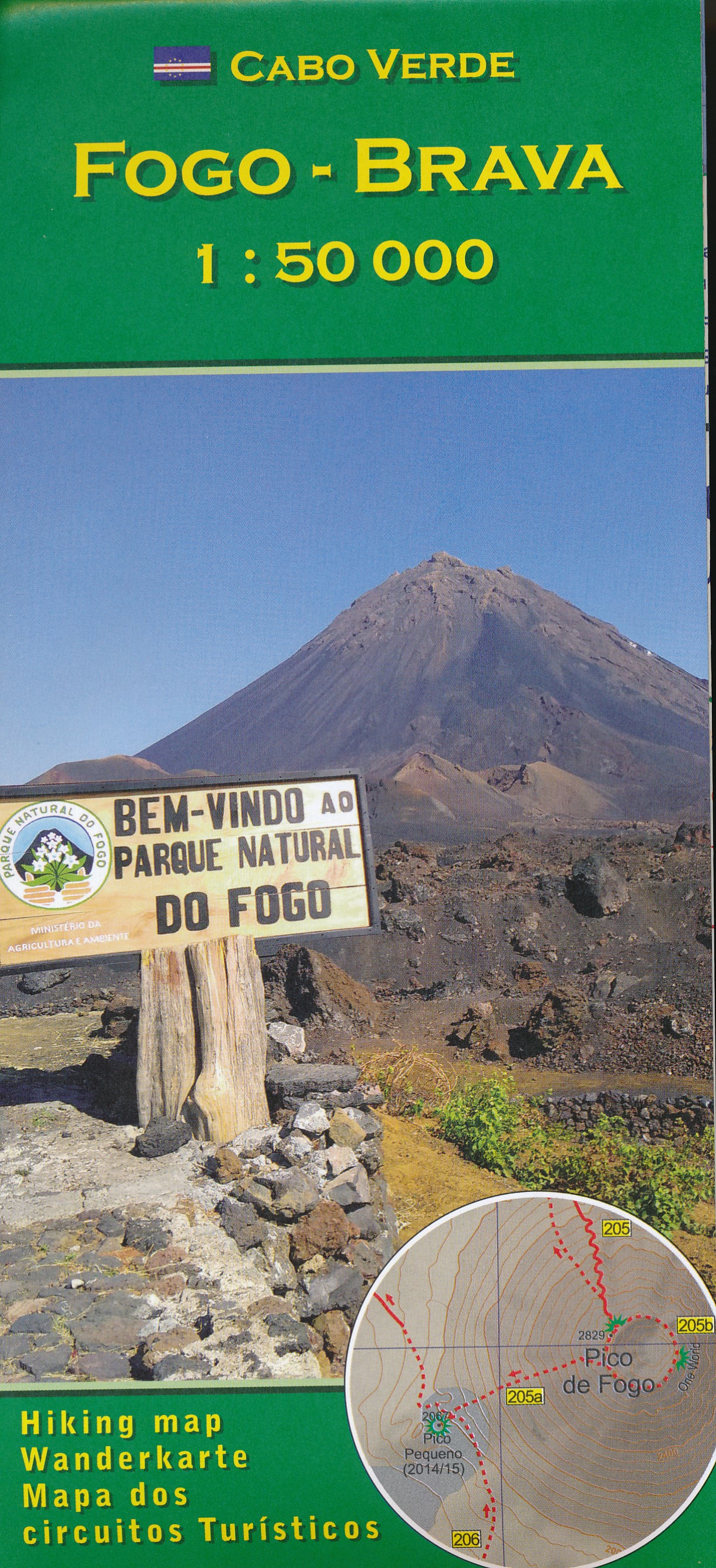
- Fogo - Brava AB Kartenverlag Hiking Map
- Fogo and Brava in the Cape Verde archipelago on a detailed, GPS compatible, contoured map at 1:50,000 from AB Kartenverlag highlighting over 50 hiking routes, with a street plan of central São Filipe.The map has contours at 100m intervals, spot heights and elevation colouring enhanced by relief shading to present the topography. Roads and... Read more
- Also available from:
- De Zwerver, Netherlands

Netherlands
- Wandelkaart Fogo Brava - Kaapverdische Eilanden | AB Kartenverlag
- Fogo and Brava in the Cape Verde archipelago on a detailed, GPS compatible, contoured map at 1:50,000 from AB Kartenverlag highlighting over 50 hiking routes, with a street plan of central São Filipe.The map has contours at 100m intervals, spot heights and elevation colouring enhanced by relief shading to present the topography. Roads and... Read more
Maps

United Kingdom
- E4 Arquipelago de Cabo Verde
- Plans included:Porto Novo (Ilha de Santo Antão) (1:10 000)Mindelo (Porto Grande) (Ilha de São Vicente) (1:20 000)Ilha de Santa Luzia (1:not known)Porto de Tarrafal (Ilha de São Nicolau) (1:8500)Porto da Preguiça (Ilha de São Nicolau) (1:8500)Baía da Palmeira (Ilha do Sal) (1:15 000)Porto de Sal-Rei (Ilha da Boavista) (1:30 000)Porto da Praia... Read more


