
E9
Description
- Name E9 (E9)
- Length of trail 5,229 km, 3,249 miles
- Length in days 260 days
- Start of trail Cabo de São Vicente (P)
- End of trail Narva-Jõesuu (Est)
- Traildino grading EW, Easy walk, nature trail


E9: Cabo de Sao Vicente (P) - Brest (F) - Tallinn (Est), 5000 km
International coast path Atlantic – North Sea – Baltic Sea
An approximate 5200km of coastal trail, southwest to northeast, of which considerable portions are still under development. Ideally it should start from Capo de São Vincente, Portugal and end in Narva-Jõesuu, Estonia. However the stretches along the Portuguese and Spanish Atlantic coast are only partly ready, as are some parts of the trail in France. From Brittany onwards, along the North Sea coast of Belgium and the Netherlands, and the Baltic coast of Germany and Poland, are a continuous trail. Only to be halted at the Poland-Kaliningrad border. Here, the E9 ends. Since 2018 Latvia and Estonia have joined the trail and you can start or end in Tallin!
From Roscoff in France, instead of continuing along the coast, there is an alternative route crossing over to the UK by ferry and walking a 711km section (or 719km if you include the Isle of Wight) from Plymouth to Dover along the British south coast. From Dover take a ferry back to Ostend where the trails then rejoin.
The trail is described North-South below:
Estonia (620 km marked)
- Starting point in Estonia is the capital Tallinn – UNESCO World Heritage Site.
- The trail often leads you along forests and country roads due to reeds, floodplains with pasture and wetlands.
- The route leads around the Pakri Peninsula from whose rocky shores you will discover the most beautiful coastal landscapes in Northwest Estonia.
- In Haapsalu you must visit the Haapsalu Bishop’s castle and see the Haapsalu resort town architecture.
- After Haapsalu the trail partly goes through sandy beaches, traditional rural landscapes with coastal meadows as well as good bird watching places.
- Matsalu National park is one of the most beautiful sections of the route where thousands of migrating cranes and geese gather in autumn.
- Shortly before Pärnu you will reach Valgeranna which is a well-known rest and swimming area with beautiful forests and dunes.
- Pärnu is a popular resort city with many cafes, live music, SPA’s, hotels and beautiful Old town.
- Throughout the seashore of the Pärnu Bay the trail goes through many small fishing villages.
- Piece after Uulu is suitable for travellers who like uninhabited places, the trail leads you through the Luitemaa Nature Reserve.
- Häädemeeste area is great for birdwatchers.
- Following the old Pärnu-Riga road, the last small village in Estonia before the Latvian boarder is Ikla.
Latvia (580 km marked)
- In Latvia the first village is Ainaži where you can see the Ainaži North Pier, situated next to the Latvian-Estonian border, here also starts the Vidzeme seashore.
- The route mainly goes through sandy beaches, in some places, rocky beaches, and for short stretches through coastal meadows.
- The route continuous through Salacgrīva Region where you can find the Rocky Seashore of Vidzeme Nature Resort with beautiful rare and protected biotopes.
- Then through the Carnikava and Vecāķi it reaches the Jurmala / Riga seashore, the trail also visits the capital Riga - UNESCO World Heritage Site.
- After Riga the trail continuous through the Little Sea – Fishermen’s villages and smoked fish, Engure nature park, parts of thickly overgrown coast, the Rocky beach of Kurzeme and Slītere National park.
- The Little Sea ends at Cape Kolka – the place where the 2 seas meet – The Great Sea and TheLittle Sea.
- The Great Sea continues towards Ventspils through sandy and rocky beaches, visiting beautiful lighthouses. Trail goes through the Ventspils city.
- After trail moves towards Jūrkalne passing through the most beautiful scenery of the Latvian coastline.
- Pāvilosta and Jūrkalne has some of the most outstanding bluffs around the Baltic Sea.
- Then the trail continuous through Karosta – place with military heritage on the coast of the Baltic sea and after it visits Liepāja – city where the wind is born.
- The trail ends at Nida – by the Latvian-Lithuanian boarder post.
- Here the trail is interrupted. It continues in Poland.
Lithuania, Kalinigrad
- Non existent
Poland (656 km, marked)
- First village in Poland is Braniewo
- Braniewo - Żarnowiec, local trails, marked, 293 km
- Szlak Nadmorski / Coastal Trail, Żarnowiec - Świnoujście, marked, 378 km
- Last village in Poland is Świnoujście
Germany (944 km, marked)
- First village in Germany is Ahlbeck
- Coastel trail, sometimes joining Hanseatenweg, Ahlbeck – Warnemünde – Wismar – Rostock - Travemünde - Kücknitz
- Local paths, Kücknitz – Lübeck – Mölln, E1 and E6 join E9
- Local paths, Mölln – Hamburg, E1 joins E9
- Wanderweg Schlei-Eider-Elbe, Hamburg – Barmstedt, 54 km
- Local paths, Barmstedt – Glückstadt
- Ferry Glückstadt - Wischhafen
- Elbe-Weser-Wanderweg, Wischhafen – Bremerhaven, 111 km
- Ferry, Bremerhaven – Blexen
- Butjadinger Weg, from Blexen to Petershörn
- Jadeweg, from Petershörn to Wilhelmshaven
- Ems-Jade-Weg, from Wilhelmshaven to Aurich
- Ostfrieslandweg, from Aurich to Leer
- Emsweg, from Leer to Weener
- Local paths, Weener to Neuschanz
- Last village is Weener
Netherlands (650 km, marked)
- First village is Nieuweschans
- Wad- en Wierdenpad, LAW 5-5, Nieuweschans - Lauwersoog
- Friese Kustpad, LAW 5-4, Lauwersoog - Zurich
- Afsluitdijk, Zurich - Den Oever
- Hollands Kustpad, LAW 5-3 and LAW 5-2, Den Oever - Hoek van Holland
- Deltapad, LAW 5-1, Hoek van Holland - Sluis
- Grenslandpad, LAW 11, 1 km connecting LAW 5-1 with GR5a
- Last village is Sluis
Belgium (140 km, marked)
- First village is Hoeke
- GR5A - Wandelronde van Vlaanderen, Hoeke - De Panne
- Last village is De Panne
France (2189 km: partly ready)
- First village is Bray-Dunes, bordering on Belgium
- GR120, from Dunkerque to Pas d'Authie, 154 km
- Missing part, Pas d'Authie – Le Tréport
- GR21, Le Tréport – Le Havre, 161 km
- GR2, small part
- GR223, Le Havre – Cherbourg - Avranches, 417 km
- Local trails, Avranches - Le Mont St-Michel
- GR34, Le Mont St-Michel – Tour-du-Parc, 1700 km
- Missing part, Le Tour-du-Parc – Saint Brévin les Pins
- GR8, Saint Brévin les Pins – Sare: there are many missing parts, and a small part is covered by the GR4
United Kingdom (711 km, 719 via Isle of Wight)
Alternative for the continental trail: south coast of United Kingdom
- Ferry from Oostende, Belgium
- First village is Dover
- Saxon Shore Way, Dover – Rye, 65 km
- Local trails, Rye – Jevington, 56 km
- South Downs Way, Jevington – Queen Elizabeth Country Park, 111 km
- Staunton Way, Queen Elizabeth Country Park – Langstone Harbour, 19 km
- Solent Way, Langstone Harbour - Portsmouth – Lymington, 76 km
Alternative: Isle of Wight
- Ferry from Portsmouth
- first village is Yarmouth
- Isle of Wight Coastal Path, Yarmouth – Needles, 11 km
- Tennyson Trail, Needles – Carisbrook, 21 km
- Isle of Wight Coastal Path, Carisbrook – Newport, 5 km
- Bembridge Trail, Newport – Bembridge, 18 km
- Isle of Wight Coastal Path, Bembridge – Ryde, 13 km
- Last village is Ryde
- Ferry to Portsmouth
Back on the main trail:
- Solent Way, Lymington – Milford on sea, 11 km
- Bournemouth Coastal Path, Milford on Sea – Poole, 30 km
- South West Coast Path, Poole – Plymouth, 343 km
- Last village is Plymouth
Spain (partly ready)
- Parts in Asturias and Cantabria
Portugal
- Parts are ready (GR11)
- From Porto Covo onwards
- Fishermen's Trail (GR11) and Caminho Histórico
- Cabo de São Vicente, end point
Map


Links
Facts
Reports
Guides and maps
Lodging
Organisations
Tour operators
GPS
Other
Books

United Kingdom
- Eastbourne, Hastings, Crowborough, Battle & Heathfield OS Landranger Active Map 199 (waterproof)
- Eastbourne and Hastings area, including the Seven Sisters and sections of the South Downs Way and the E9 European Long-distance Path, on a waterproof and tear-resistant OS Active version of map No. 199 from the Ordnance Survey’s Landranger series at 1:50,000, with contoured and GPS compatible topographic mapping plus tourist information.MOBILE... Read more

United Kingdom
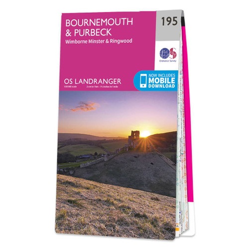
- Bournemouth, Purbeck, Wimborne Minster & Ringwood OS Landranger Active Map 195 (waterproof)
- Bournemouth and the Isle of Purbeck area, including part of the New Forest National Park and a section of the South West Coast Path / E9 European Long-distance Path, on a waterproof and tear-resistant OS Active version of map No. 195 from the Ordnance Survey’s Landranger series at 1:50,000, with contoured and GPS compatible topographic mapping... Read more

United Kingdom
- The Solent, Isle of Wight, Southampton & Portsmouth OS Landranger Active Map 196 (waterproof)
- Isle of Wight with the Southampton - Portsmouth area, including part of the New Forest National Park and a section of the E9 European Long-distance Path, on a waterproof and tear-resistant OS Active version of map No. 196 from the Ordnance Survey’s Landranger series at 1:50,000, with contoured and GPS compatible topographic mapping plus tourist... Read more

United Kingdom
2017
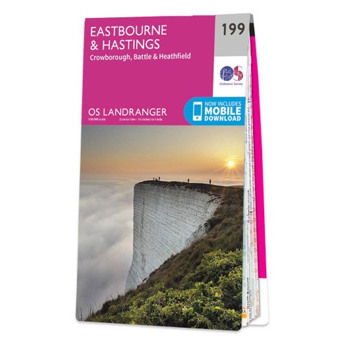
- Eastbourne, Hastings, Crowborough, Battle & Heathfield OS Landranger Map 199 (paper)
- Eastbourne and Hastings area, including the Seven Sisters and sections of the South Downs Way and the E9 European Long-distance Path, on a paper version of map No. 199 from the Ordnance Survey’s Landranger series at 1:50,000, with contoured and GPS compatible topographic mapping plus tourist information.MOBILE DOWNLOADS: As well as the physical... Read more
- Also available from:
- The Book Depository, United Kingdom
- De Zwerver, Netherlands

Netherlands
2017

United Kingdom
- Taunton, Lyme Regis, Chard & Bridport OS Landranger Active Map 193 (waterproof)
- Taunton and Lyme Regis area, including a section of the South West Coast Path / E9 European Long-distance Path, on a waterproof and tear-resistant OS Active version of map No. 193 from the Ordnance Survey’s Landranger series at 1:50,000, with contoured and GPS compatible topographic mapping plus tourist information.MOBILE DOWNLOADS: As well as... Read more
- Also available from:
- The Book Depository, United Kingdom


United Kingdom
- Canterbury, East Kent, Dover & Margate OS Landranger Active Map 179 (waterproof)
- Eastern Kent with Canterbury, Dover and Margate, including sections of the North Downs Way and the E2 and E9 European Long-Distance Paths, on a waterproof and tear-resistant OS Active version of map No. 179 from the Ordnance Survey’s Landranger series at 1:50,000, with contoured and GPS compatible topographic mapping plus tourist... Read more
- Also available from:
- The Book Depository, United Kingdom


United Kingdom
- Purbeck & South Dorset - Poole, Dorchester - Weymouth & Swanage OS Explorer Active Map OL15 (waterproof)
- Purbeck and the southern part of Dorset on a detailed topographic and GPS compatible map OL15, waterproof version, from the Ordnance Survey’s 1:25,000 Explorer series. Coverage extends from Poole and Swanage in the east to Bridport in the west, and includes Dorchester, Tolpuddle, Bere Regis, Wareham, Weymouth, Chesil Beach, Portland Bill, the... Read more
- Also available from:
- The Book Depository, United Kingdom

United Kingdom

United Kingdom
2019
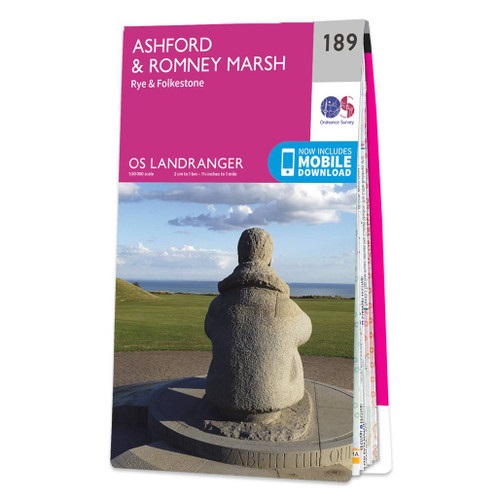
- Ashford, Romney Marsh, Rye & Folkestone OS Landranger Map 189 (paper)
- Ashford and Romney Marsh area, including sections of the North Downs Way and the E9 European Long-distance Path, on a paper version of map No. 189 from the Ordnance Survey’s Landranger series at 1:50,000, with contoured and GPS compatible topographic mapping plus tourist information.MOBILE DOWNLOADS: As well as the physical edition of the map,... Read more
- Also available from:
- The Book Depository, United Kingdom
- De Zwerver, Netherlands

Netherlands
2019

United Kingdom
2016
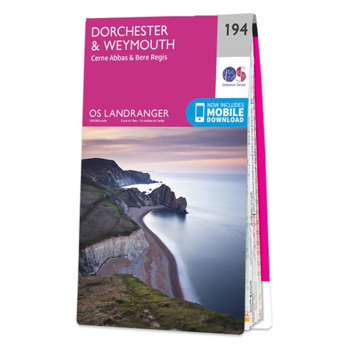
- Dorchester, Weymouth, Cerne Abbas & Bere Regis OS Landranger Map 194 (paper)
- Dorchester and Weymouth area, including a section of the South West Coast Path / E9 European Long-distance Path, on a paper version of map No. 194 from the Ordnance Survey’s Landranger series at 1:50,000, with contoured and GPS compatible topographic mapping plus tourist information.MOBILE DOWNLOADS: As well as the physical edition of the map,... Read more
- Also available from:
- The Book Depository, United Kingdom
- De Zwerver, Netherlands

Netherlands
2016

United Kingdom
2019
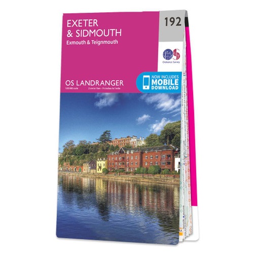
- Exeter, Sidmouth, Exmouth & Teignmouth OS Landranger Map 192 (paper)
- Exeter and Sidmouth area, including a section of the South West Coast Path / E9 European Long-distance Path, on a paper version of map No. 192 from the Ordnance Survey’s Landranger series at 1:50,000, with contoured and GPS compatible topographic mapping plus tourist information.MOBILE DOWNLOADS: As well as the physical edition of the map, each... Read more
- Also available from:
- The Book Depository, United Kingdom
- De Zwerver, Netherlands

Netherlands
2019

United Kingdom
2024
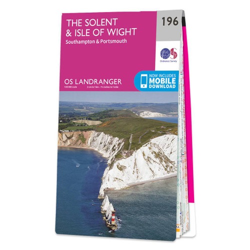
- The Solent, Isle of Wight, Southampton & Portsmouth OS Landranger Map 196 (paper)
- Isle of Wight with the Southampton - Portsmouth area, including part of the New Forest National Park and a section of the E9 European Long-distance Path, on a paper version of map No. 196 from the Ordnance Survey’s Landranger series at 1:50,000, with contoured and GPS compatible topographic mapping plus tourist information.MOBILE DOWNLOADS: As... Read more
- Also available from:
- The Book Depository, United Kingdom
- De Zwerver, Netherlands


United Kingdom
2018
- Taunton, Lyme Regis, Chard & Bridport OS Landranger Map 193 (paper)
- Taunton and Lyme Regis area, including a section of the South West Coast Path / E9 European Long-distance Path, on a paper version of map No. 193 from the Ordnance Survey’s Landranger series at 1:50,000, with contoured and GPS compatible topographic mapping plus tourist information.MOBILE DOWNLOADS: As well as the physical edition of the map,... Read more
- Also available from:
- The Book Depository, United Kingdom
- De Zwerver, Netherlands


Netherlands
2018

United Kingdom
- Ashford, Romney Marsh, Rye & Folkestone OS Landranger Active Map 189 (waterproof)
- Ashford and Romney Marsh area, including sections of the North Downs Way and the E9 European Long-distance Path, on a waterproof and tear-resistant OS Active version of map No. 189 from the Ordnance Survey’s Landranger series at 1:50,000, with contoured and GPS compatible topographic mapping plus tourist information.MOBILE DOWNLOADS: As well as... Read more
- Also available from:
- The Book Depository, United Kingdom


United Kingdom
2016
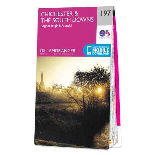
- Chichester, South Downs, Bognor Regis & Arundel OS Landranger Map 197 (paper)
- Chichester and Bognor Regis area, including the South Downs National Park and a section of the South Downs Way / E9 European Long-distance Path, on a paper version of map No. 197 from the Ordnance Survey’s Landranger series at 1:50,000, with contoured and GPS compatible topographic mapping plus tourist information.MOBILE DOWNLOADS: As well as... Read more
- Also available from:
- The Book Depository, United Kingdom
- De Zwerver, Netherlands

Netherlands
2016

United Kingdom
2017
- Bournemouth, Purbeck, Wimborne Minster & Ringwood OS Landranger Map 195 (paper)
- Bournemouth and the Isle of Purbeck area, including part of the New Forest National Park and a section of the South West Coast Path / E9 European Long-distance Path, on a paper version of map No. 195 from the Ordnance Survey’s Landranger series at 1:50,000, with contoured and GPS compatible topographic mapping plus tourist information.MOBILE... Read more
- Also available from:
- The Book Depository, United Kingdom
- De Zwerver, Netherlands

Netherlands
2017
Maps

Netherlands
- Wandelkaart - Fietskaart Insel Rügen | Verlag Dr. Barthel
- Frei von Werbeanzeigen. reißfest, wetterfest durch Beschichtung mit hochwertiger nicht spiegelnder Folie, mit ausgewählten Straßennamen zur besseren Orientierung, farbig hervorgehobenen Ausflugszielen, Sehenswürdigkeiten der Umgebung in Text und Bild und alle regionalen und überregionalen Wander- und Radwanderwege sowie ausgewiesene... Read more