
Auvergne
Description

The Auvergne is a extensive region, comprising the Massif Central. Quiet and rural, it has many attractions for the hiker. Well known are the volcanic areas south of Clermont-Ferrand. Though not fuming any more, the volcanic shapes are very well recognisable.
Map

Trails in this region
Links
Facts
Reports
Guides and maps
Lodging
Organisations
Tour operators
GPS
Other
Books

Stanfords
United Kingdom
2019
United Kingdom
2019
- Volcan du Cantal - Pays de Saint-Flour - Haute-Auvergne GR400/4
- Volcan du Cantal: Pays de Saint-Flour et de Ruynes-en-Margeride, FFRP topoguide, Ref. No. 400, covering 600kms of long-distance paths in the Cantal region of the Massif Central, which can also be walked as shorter circuits. Current edition of this title was published in July 2013.To see other titles in this series please click on the series... Read more

Stanfords
United Kingdom
United Kingdom
- Chemins de St.Jacques: Cluny/Lyon - Le Puy à pied
- Chemins de St.Jacques: Cluny/Lyon-Le Puy à pied from Chamina presents the route overprinted on IGN’s 1:50,000 topographic survey with details of accommodation, local services and other tourist information.Each stage is shown on extracts from IGN`s 1:50,000 topographic survey cross-referenced to the descriptions of the route. Symbols indicate... Read more
Stanfords
United Kingdom
2018
United Kingdom
2018
- Volcans et lacs d`Auvergne - Pays du Val d`Allier GR30/GR41
- Volcans et lacs d`Auvergne, FFRP topoguide Ref. no. 305, covering in all 886km of hiking trails across the volcanic landscape of the Auvergne west and south of Clermont-Ferrand, including sections of GR 30 and GR41. Current edition of this title was published in June 2014.ABOUT THE FFRP (Fédération française de la randonnée pédestre)... Read more

Stanfords
United Kingdom
2009
United Kingdom
2009
- GR40: Tour des Volcans du Velay FFRP Topo-guide No. 425
- GR40: Tour des Volcans du Velay, FFRP topo-guide ref. no. 425, one of the titles from an extensive series of light, high quality, A5 paperback guides to the Sentiers de Grande Randonnée, the GR routes, a dense network of long-distance footpaths across the French countryside. Each topo-guide covers either a circular route, or part of a longer... Read more

Stanfords
United Kingdom
United Kingdom
- Bourg-Lastic - La Bourboule IGN 2433SB
- Topographic survey of France at 1:25,000 in IGN`s excellent TOP25 / Série Bleue series. All the maps are GPS compatible, with a 1km UTM grid plus latitude and longitude lines at 5’ intervals. Contours are at 5m intervals except for mountainous areas where the maps have contours at 10m intervals, vividly enhanced by hill shading and graphics for... Read more

Stanfords
United Kingdom
2019
United Kingdom
2019
- La Haute-Loire à pied
- La Haute-Loire à pied, FFRP topo-guide Ref. No.D043, with 43 day walks of varying length and difficulty in the department of Haute-Loire in southern Auvergne, centered on Le Puy-en-Velay. Each walk is presented on a separate colour extract from IGN’s topographic survey of France at 1:25,000, with its description cross-referenced to the map.... Read more
Stanfords
United Kingdom
2021
United Kingdom
2021
- Tour des Monts d`Aubrac GRP/GR60/GR6
- Tour des Monts d`Aubrac, FFRP topoguide Ref. No. 616, covering 259kms of hiking circuits in the Massif Central along the GR6, GR60 and GR65. Current edition of this title was published in May 2016.ABOUT THE FFRP (Fédération française de la randonnée pédestre) TOPOGUIDES: published in a handy A5 paperback format, the guides are the best... Read more
- Also available from:
- The Book Depository, United Kingdom

Stanfords
United Kingdom
2021
United Kingdom
2021
- Volcan du Cantal et Pays de Saint-Flour - Haute-Auvergne GR400/4
- Volcan du Cantal: Pays de Saint-Flour et de Ruynes-en-Margeride, FFRP topoguide, Ref. No. 400, covering 600kms of long-distance paths in the Cantal region of the Massif Central, which can also be walked as shorter circuits. Current edition of this title was published in July 2013.To see other titles in this series please click on the series... Read more
- Also available from:
- The Book Depository, United Kingdom


The Book Depository
United Kingdom
2013
United Kingdom
2013
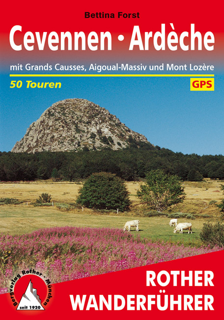
- Cevennen - Ardeche
- Uitstekende wandelgids met een groot aantal dagtochten in dal en hooggebergte. Met praktische informatie en beperkt kaartmateriaal! Wandelingen in verschillende zwaarte weergegeven in rood/blauw/zwart. Zwei abwechslungsreiche Wanderregionen im Süden Frankreichs: Cevennen und Ardèche. Zwischen dem Massif Central, dem Rhônetal und dem... Read more
- Also available from:
- De Zwerver, Netherlands
De Zwerver
Netherlands
2019
Netherlands
2019
- Wandelgids 249 Cevennen - Ardeche | Rother Bergverlag
- Uitstekende wandelgids met een groot aantal dagtochten in dal en hooggebergte. Met praktische informatie en beperkt kaartmateriaal! Wandelingen in verschillende zwaarte weergegeven in rood/blauw/zwart. Zwei abwechslungsreiche Wanderregionen im Süden Frankreichs: Cevennen und Ardèche. Zwischen dem Massif Central, dem Rhônetal und dem... Read more


Stanfords
United Kingdom
2013
United Kingdom
2013
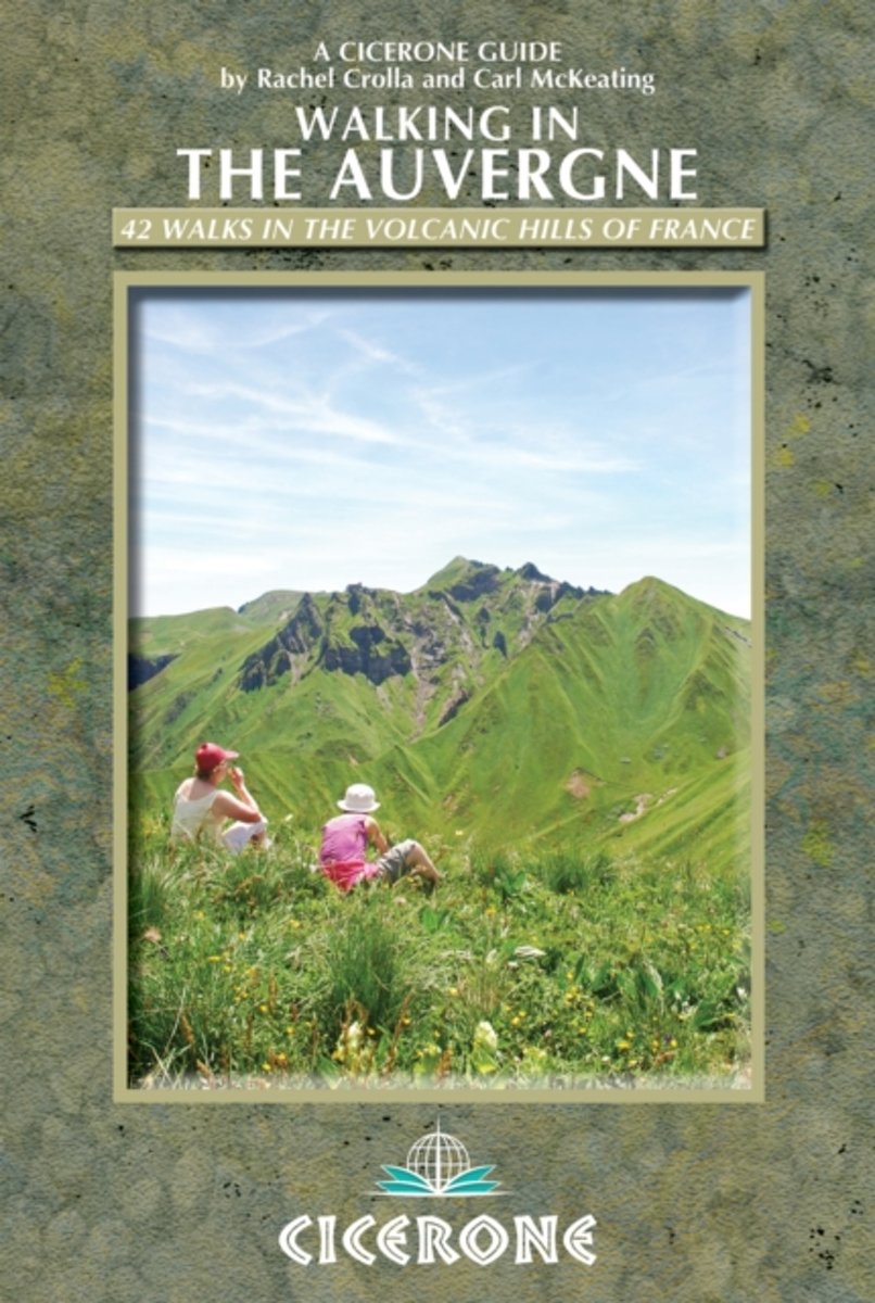
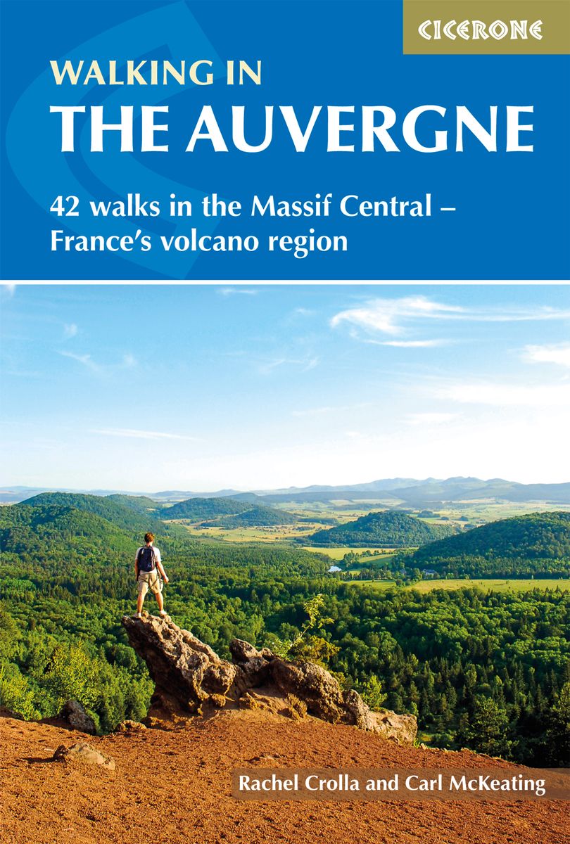
- Auvergne Walking Guide
- Rachel Crolla and Carl McKeating’s Cicerone guide to Walking in the Auvergne illustrates 42 walks in the volcanic hills of France covering the Puy de Dôme, Cantal and Haute-Loire regions and featuring detailed instructions, clear sketch maps and colour photographs.The book covers the area from Vichy in the north to Le Puy-en-Velay in the... Read more
- Also available from:
- The Book Depository, United Kingdom
- Bol.com, Netherlands
- Bol.com, Belgium
- De Zwerver, Netherlands

The Book Depository
United Kingdom
2013
United Kingdom
2013
- Walking in the Auvergne
- 42 Walks in the Massif Central - France's volcano region Read more
Bol.com
Netherlands
2013
Netherlands
2013
- Walking in the Auvergne
- This walking guidebook describes 42 day routes exploring the stunning Auvergne region in central France. The walks are ideal for day walkers and hikers, with routes ranging from easy 5km outings to more challenging 20km hikes. All are illustrated with clear mapping and colour photographs. The guide focuses on the best routes in five different... Read more
Bol.com
Belgium
2013
Belgium
2013
- Walking in the Auvergne
- This walking guidebook describes 42 day routes exploring the stunning Auvergne region in central France. The walks are ideal for day walkers and hikers, with routes ranging from easy 5km outings to more challenging 20km hikes. All are illustrated with clear mapping and colour photographs. The guide focuses on the best routes in five different... Read more
De Zwerver
Netherlands
2020
Netherlands
2020
- Wandelgids Walking in the Auvergne | Cicerone
- Guidebook to the Auvergne describing 42 walks between 5 and 20km in the quiet volcanic hills of central France. Five areas are covered: Cantal, Chaine des Puys, Mont Dores, Haute-Loire and Montagne Bourbonnaise. The volcanic geography provides a stunning backdrop to routes suitable for all walkers. Bases in Vichy, Clermont-Ferrand and Puy-en-Velay. Read more
Bol.com
Netherlands
Netherlands
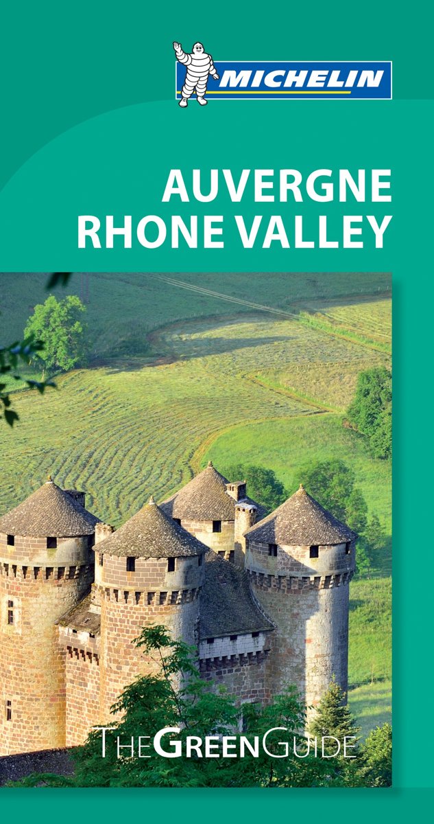
- Green Guide Auvergne/Rhone Valley
- The updated Green Guide Auvergne Rhone Valley presents this centrally located French region, full of stunning vistas, ancient and picturesque castles, churches and villages, outdoor activities, and tasty culinary specialties. Enjoy a Beaujolais vineyard driving tour, take a nighttime walk along Lyon's twinkling streets, zip down Super-Besse's... Read more
- Also available from:
- Bol.com, Belgium
Bol.com
Belgium
Belgium
- Green Guide Auvergne/Rhone Valley
- The updated Green Guide Auvergne Rhone Valley presents this centrally located French region, full of stunning vistas, ancient and picturesque castles, churches and villages, outdoor activities, and tasty culinary specialties. Enjoy a Beaujolais vineyard driving tour, take a nighttime walk along Lyon's twinkling streets, zip down Super-Besse's... Read more

De Zwerver
Netherlands
2022
Netherlands
2022
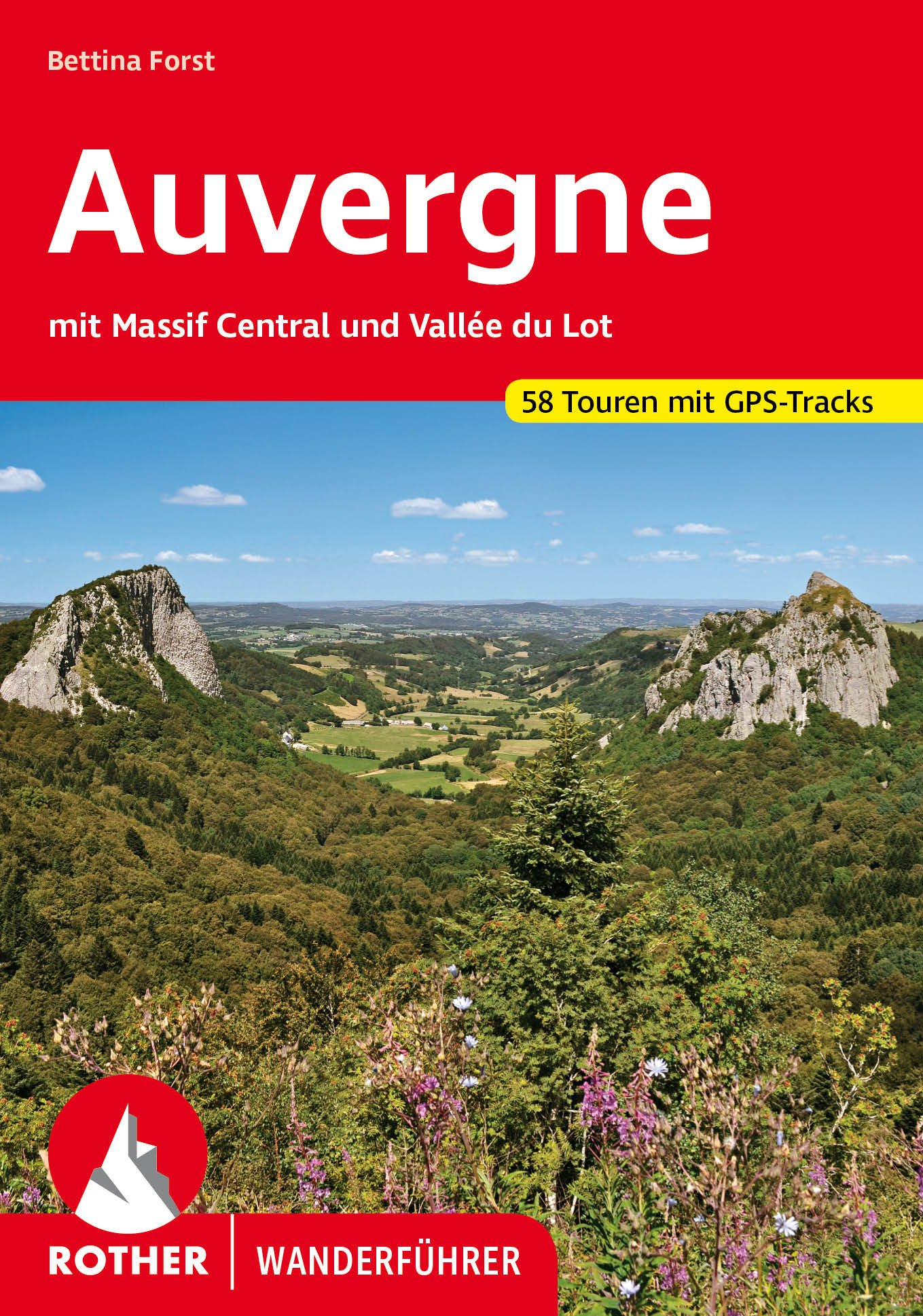
- Wandelgids 246 Auvergne en Massif Central - Vallée du Lot | Rother Bergverlag
- Uitstekende wandelgids met een groot aantal dagtochten in dal en hooggebergte. Met praktische informatie en beperkt kaartmateriaal! Wandelingen in verschillende zwaarte weergegeven in rood/blauw/zwart. Die Auvergne mit dem Massif Central bildet das wilde, grüne Herz Frankreichs. Abseits von Touristenströmen und Autorouten konnte diese... Read more

The Book Depository
United Kingdom
United Kingdom
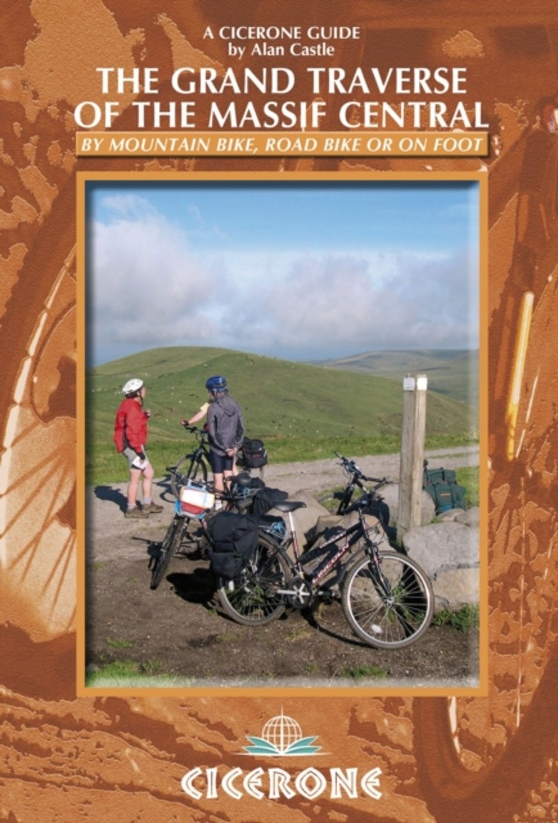
- The Grand Traverse of the Massif Central
- by mountain bike, road bike or on foot Read more
- Also available from:
- Bol.com, Netherlands
- Bol.com, Belgium
Bol.com
Netherlands
Netherlands
- The Grand Traverse of the Massif Central
- A guide to mountainbiking, cycling or walking the GTMC, Grande Traversee du Massif Central, in southern France, from Clermont-Ferrand in the Auvergne to Montpellier and Sete on the Mediterranean. The GTMC is a long-distance mountain biking trail that crosses the entire Massif Central in France visiting all of the major regions, including the... Read more
Bol.com
Belgium
Belgium
- The Grand Traverse of the Massif Central
- A guide to mountainbiking, cycling or walking the GTMC, Grande Traversee du Massif Central, in southern France, from Clermont-Ferrand in the Auvergne to Montpellier and Sete on the Mediterranean. The GTMC is a long-distance mountain biking trail that crosses the entire Massif Central in France visiting all of the major regions, including the... Read more
Maps

Stanfords
United Kingdom
United Kingdom
- Chaîne des Puys - Massif du Sancy IGN 75015
- Chaîne des Puys - Massif du Sancy region in a series of GPS compatible, contoured TOP 75 maps at 1:75,000 from the IGN, highlighting local and long-distance hiking paths, cycling routes and sites for other recreational activities. The map includes five large panels showing the areas around la Banne d’ Ordanche between La Bourboule and... Read more

Stanfords
United Kingdom
2018
United Kingdom
2018
- Le Chemin de Régordane - Chemin de Saint-Gilles GR700
- GR700: Le Chemin Régordane: Le-Puy-en-Velay - St-Gilles-du Gard, FFRP topo-guide ref. no. 7000, one of the titles from an extensive series of light, high quality, A5 paperback guides to the Sentiers de Grande Randonnée, the GR routes, a dense network of long-distance footpaths across the French countryside. Each topo-guide covers either a... Read more

Stanfords
United Kingdom
United Kingdom
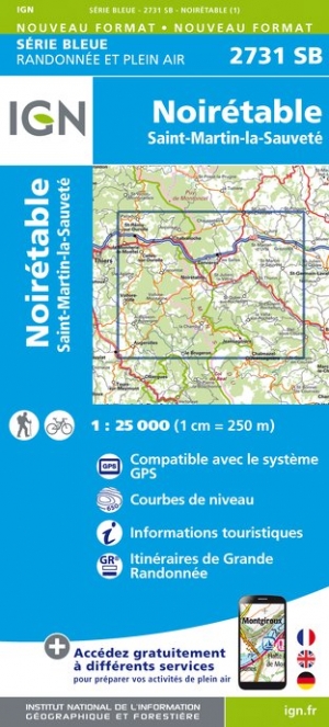
- Noiretable - Saint-Martin-la-Sauvete IGN 2731SB
- Topographic survey of France at 1:25,000 in IGN`s excellent TOP25 / Série Bleue series. All the maps are GPS compatible, with a 1km UTM grid plus latitude and longitude lines at 5’ intervals. Contours are at 5m intervals except for mountainous areas where the maps have contours at 10m intervals, vividly enhanced by hill shading and graphics for... Read more

- Also available from:
- The Book Depository, United Kingdom
- De Zwerver, Netherlands

De Zwerver
Netherlands
Netherlands

Stanfords
United Kingdom
United Kingdom
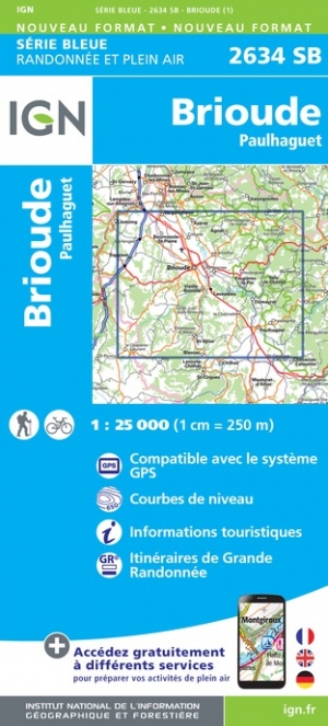
- Brioude - Paulhaguet IGN 2634SB
- Topographic survey of France at 1:25,000 in IGN`s excellent TOP25 / Série Bleue series. All the maps are GPS compatible, with a 1km UTM grid plus latitude and longitude lines at 5’ intervals. Contours are at 5m intervals except for mountainous areas where the maps have contours at 10m intervals, vividly enhanced by hill shading and graphics for... Read more
- Also available from:
- The Book Depository, United Kingdom
- De Zwerver, Netherlands

De Zwerver
Netherlands
Netherlands

Stanfords
United Kingdom
United Kingdom
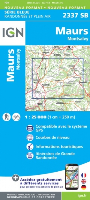
- Maurs - Montsalvy IGN 2337SB
- Topographic survey of France at 1:25,000 in IGN`s excellent TOP25 / Série Bleue series. All the maps are GPS compatible, with a 1km UTM grid plus latitude and longitude lines at 5’ intervals. Contours are at 5m intervals except for mountainous areas where the maps have contours at 10m intervals, vividly enhanced by hill shading and graphics for... Read more
- Also available from:
- The Book Depository, United Kingdom
- De Zwerver, Netherlands

De Zwerver
Netherlands
Netherlands

Stanfords
United Kingdom
United Kingdom
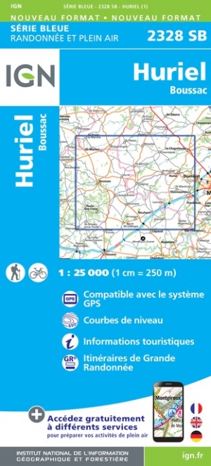
- Huriel - Boussac IGN 2328SB
- Topographic survey of France at 1:25,000 in IGN`s excellent TOP25 / Série Bleue series. All the maps are GPS compatible, with a 1km UTM grid plus latitude and longitude lines at 5’ intervals. Contours are at 5m intervals except for mountainous areas where the maps have contours at 10m intervals, vividly enhanced by hill shading and graphics for... Read more
- Also available from:
- The Book Depository, United Kingdom
- De Zwerver, Netherlands

De Zwerver
Netherlands
Netherlands

Stanfords
United Kingdom
United Kingdom
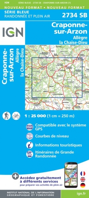
- Craponne-sur-Arzon - Allegre - la Chaise-Dieu IGN 2734SB
- Topographic survey of France at 1:25,000 in IGN`s excellent TOP25 / Série Bleue series. All the maps are GPS compatible, with a 1km UTM grid plus latitude and longitude lines at 5’ intervals. Contours are at 5m intervals except for mountainous areas where the maps have contours at 10m intervals, vividly enhanced by hill shading and graphics for... Read more
- Also available from:
- The Book Depository, United Kingdom
- De Zwerver, Netherlands

De Zwerver
Netherlands
Netherlands
- Also available from:
- De Zwerver, Netherlands


- Also available from:
- The Book Depository, United Kingdom
- De Zwerver, Netherlands


De Zwerver
Netherlands
Netherlands

Stanfords
United Kingdom
United Kingdom
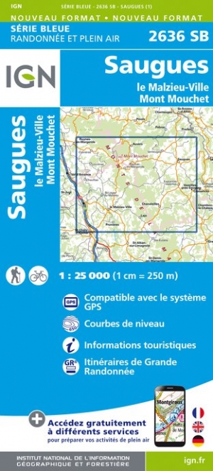
- Saugues - le Malzieu-Ville - Mont Mouchet IGN 2636SB
- Topographic survey of France at 1:25,000 in IGN`s excellent TOP25 / Série Bleue series. All the maps are GPS compatible, with a 1km UTM grid plus latitude and longitude lines at 5’ intervals. Contours are at 5m intervals except for mountainous areas where the maps have contours at 10m intervals, vividly enhanced by hill shading and graphics for... Read more
- Also available from:
- The Book Depository, United Kingdom
- De Zwerver, Netherlands

De Zwerver
Netherlands
Netherlands
Stanfords
United Kingdom
United Kingdom
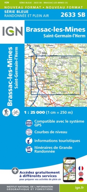
- Brassac-les-mines - Saint-Germain-l`Herm IGN 2633SB
- Topographic survey of France at 1:25,000 in IGN`s excellent TOP25 / Série Bleue series. All the maps are GPS compatible, with a 1km UTM grid plus latitude and longitude lines at 5’ intervals. Contours are at 5m intervals except for mountainous areas where the maps have contours at 10m intervals, vividly enhanced by hill shading and graphics for... Read more
- Also available from:
- The Book Depository, United Kingdom
- De Zwerver, Netherlands


De Zwerver
Netherlands
Netherlands

Stanfords
United Kingdom
United Kingdom
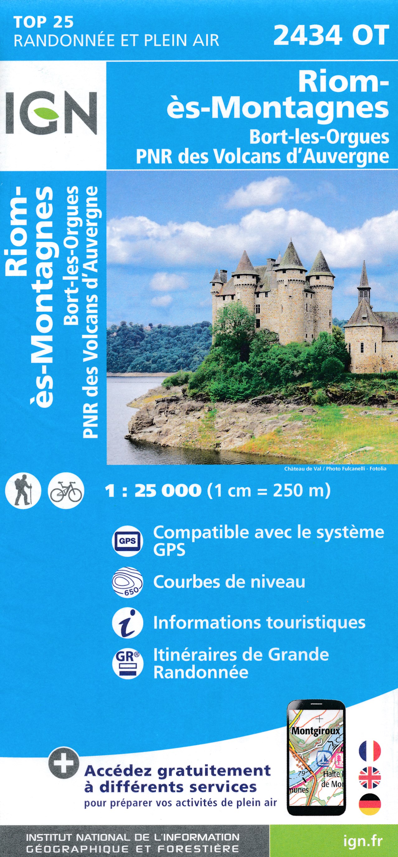
- Riom-es-Montagnes - Bort-les-Orgues - PNR des Volcans d`Auvergne IGN 2434OT
- Topographic survey of France at 1:25,000 in IGN`s excellent TOP25 / Série Bleue series. All the maps are GPS compatible, with a 1km UTM grid plus latitude and longitude lines at 5’ intervals. Contours are at 5m intervals except for mountainous areas where the maps have contours at 10m intervals, vividly enhanced by hill shading and graphics for... Read more
- Also available from:
- The Book Depository, United Kingdom
- De Zwerver, Netherlands

The Book Depository
United Kingdom
United Kingdom
- Riom-Es-Montagnes/Bort-les-Orgues PNR Volcans Auvergne
- De wandelkaart die de perfectie benadert! Werkelijk alle topografische details zijn er op te vinden; van hoogtelijnen tot aan bruggetjes en allerlei wandelpaden. Daarnaast hebben de makers een flinke dosis toeristische informatie op de kaart verwerkt: campings, gites d étape; restaurants en ingetekende doorgaande wandelpaden, de grandes... Read more
De Zwerver
Netherlands
Netherlands
- Wandelkaart - Topografische kaart 2434OT Riom es Montagnes, Bort-les-Orgues, PNR des Volcans d'Auvergne | IGN - Institut Géographique National
- De wandelkaart die de perfectie benadert! Werkelijk alle topografische details zijn er op te vinden; van hoogtelijnen tot aan bruggetjes en allerlei wandelpaden. Daarnaast hebben de makers een flinke dosis toeristische informatie op de kaart verwerkt: campings, gites d étape; restaurants en ingetekende doorgaande wandelpaden, de grandes... Read more

Stanfords
United Kingdom
United Kingdom
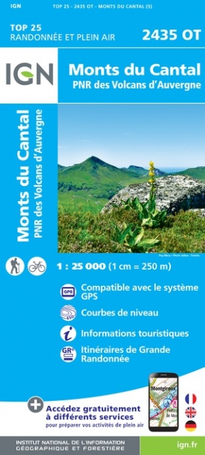
- Monts du Cantal - PNR des Volcans d`Auvergne IGN 2435OT
- Topographic survey of France at 1:25,000 in IGN`s excellent TOP25 / Série Bleue series. All the maps are GPS compatible, with a 1km UTM grid plus latitude and longitude lines at 5’ intervals. Contours are at 5m intervals except for mountainous areas where the maps have contours at 10m intervals, vividly enhanced by hill shading and graphics for... Read more
- Also available from:
- The Book Depository, United Kingdom
- De Zwerver, Netherlands

De Zwerver
Netherlands
Netherlands

Stanfords
United Kingdom
United Kingdom
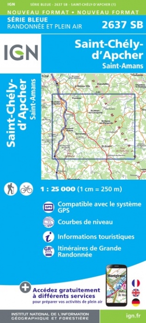
- Saint-Chely-d`Apcher - Saint-Amams IGN 2637SB
- Topographic survey of France at 1:25,000 in IGN`s excellent TOP25 / Série Bleue series. All the maps are GPS compatible, with a 1km UTM grid plus latitude and longitude lines at 5’ intervals. Contours are at 5m intervals except for mountainous areas where the maps have contours at 10m intervals, vividly enhanced by hill shading and graphics for... Read more
- Also available from:
- The Book Depository, United Kingdom
- De Zwerver, Netherlands

De Zwerver
Netherlands
Netherlands