
Morvan
Description

The Morvan is a region in the center of France and the province of Bourgogne. It is heavely wooded, with many lakes. Historically, the region is poor. The best hiking is along the GR13 and the Tour du Morvan.
Map

Trails in this region
Links
Facts
Reports
Guides and maps
Lodging
Organisations
Tour operators
GPS
Other
Books
Stanfords
United Kingdom
2018
United Kingdom
2018
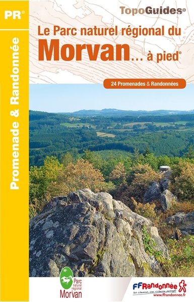
- Le Parc naturel regional du Morvan... a pied
- The Morvan regional nature park on foot.In the center of Burgundy, the Morvan and its granite mountain at the northern end of the Massif Central, reserves its most beautiful secrets for those who walk its paths.Spread over the entire territory of the Parc du Morvan, from Vézelay to Bibracte, the twenty-four walks offered in this guide will... Read more

Stanfords
United Kingdom
United Kingdom
- Tournus - Lugny IGN 3027SB
- Topographic survey of France at 1:25,000 in IGN`s excellent TOP25 / Série Bleue series. All the maps are GPS compatible, with a 1km UTM grid plus latitude and longitude lines at 5’ intervals. Contours are at 5m intervals except for mountainous areas where the maps have contours at 10m intervals, vividly enhanced by hill shading and graphics for... Read more

Stanfords
United Kingdom
2015
United Kingdom
2015
- GR654 Chemins de St-Jacques: Vézelay - Périgueux FFRP Topo-guide No. 6542
- Chemins de St-Jacques: Vézelay - Périgueux, FFRP topoguide Ref. no. 6542, covering the 744km route along the GR654 the Way of St. Jamezs from Vézelay via Limoges to Périgueux. Current edition of this title was published in March 2015.ABOUT THE FFRP (Fédération française de la randonnée pédestre) TOPOGUIDES: published in a handy A5 paperback... Read more

Stanfords
United Kingdom
United Kingdom
- Macôn - Cluny - Roche de Solutre IGN 3028OT
- Topographic survey of France at 1:25,000 in IGN`s excellent TOP25 / Série Bleue series. All the maps are GPS compatible, with a 1km UTM grid plus latitude and longitude lines at 5’ intervals. Contours are at 5m intervals except for mountainous areas where the maps have contours at 10m intervals, vividly enhanced by hill shading and graphics for... Read more

Stanfords
United Kingdom
2019
United Kingdom
2019
- Trekking in the Canary Islands: The GR131 island-hopping route
- This guidebook provides a comprehensive and detailed description of the GR131, an island-hopping trail across the seven Canary Islands. The 560km (348 mile) route begins on Lanzarote and finishes on El Hierro and is presented in 32 daily stages. The route is well waymarked but some navigational skills are required, and the remote and occasional... Read more
- Also available from:
- The Book Depository, United Kingdom
- De Zwerver, Netherlands

The Book Depository
United Kingdom
2019
United Kingdom
2019
- Trekking in the Canary Islands
- The GR131 island-hopping route Read more

De Zwerver
Netherlands
2019
Netherlands
2019
- Wandelgids Trekking in the Canary Islands: The GR131 Island Hopping Route | Cicerone
- Guidebook to the GR131, an island-hopping trail that runs coast to coast across each of the 7 Canary Islands, a sub-tropical Spanish archipelago. Described over 32 stages, the route begins on Lanzarote, finishes on El Hierro, measures 560km (348 miles) and would take an average trekker about 1 month to complete. Read more

Stanfords
United Kingdom
2020
United Kingdom
2020
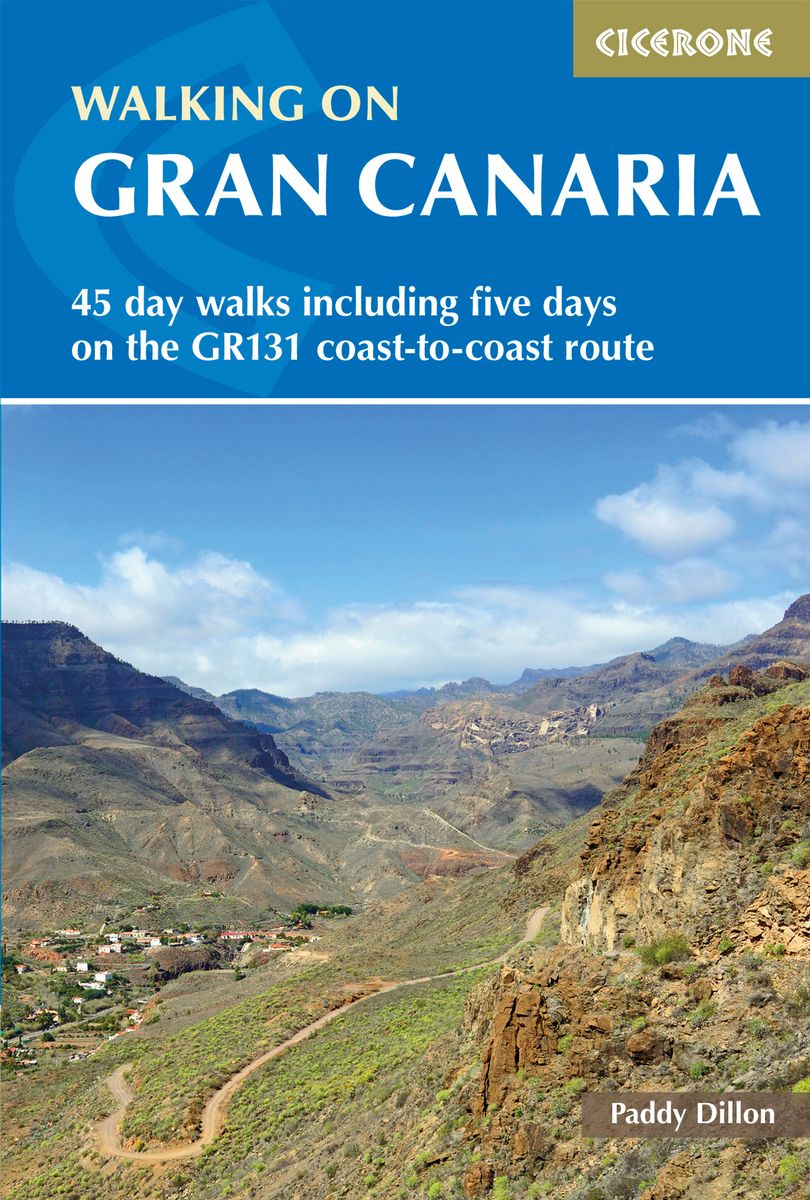
- Walking on Gran Canaria: 45 day walks including five days on the GR131 coast-to-coast route
- The guidebook describes 45 day walks across eight areas of Gran Canaria, including Las Palmas in the north to Playa del Ingles in the south. Also included is a five-day coast-to-coast route on the GR131, an island-hopping long-distance trail stretching across all seven of the Canary Islands. There are walks suitable for those of all abilities,... Read more
- Also available from:
- The Book Depository, United Kingdom
- De Zwerver, Netherlands

The Book Depository
United Kingdom
2020
United Kingdom
2020
- Walking on Gran Canaria
- 45 day walks including five days on the GR131 coast-to-coast route Read more
De Zwerver
Netherlands
2020
Netherlands
2020
- Wandelgids Walking on Gran Canaria | Cicerone
- Guidebook describing 45 day walks on Gran Canaria, generally averaging 10 to 12km each. A long-distance coast-to-coast route on the GR131 is included, and shorter walks can be linked to form longer itineraries. One of the larger Canary Islands, Gran Canaria is a popular destination but offers many peaceful, rural areas perfect for walking. Read more

Stanfords
United Kingdom
2020
United Kingdom
2020
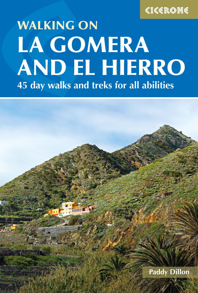
- Walking on La Gomera and El Hierro: 45 day walks and treks for all abilities
- Walking guide to the islands of La Gomera and El Hierro. The 45 waymarked routes in this guidebook include easy strolls and hands-on scrambles, day walks and long-distance routes including the GR132 and parts of the GR131, which runs the whole length of the Canary Islands. Walks are spread in the guide roughly clockwise and where walks are... Read more
- Also available from:
- The Book Depository, United Kingdom
- De Zwerver, Netherlands

The Book Depository
United Kingdom
2020
United Kingdom
2020
- Walking on La Gomera and El Hierro
- 45 day walks and treks for all abilities Read more

Stanfords
United Kingdom
2019
United Kingdom
2019
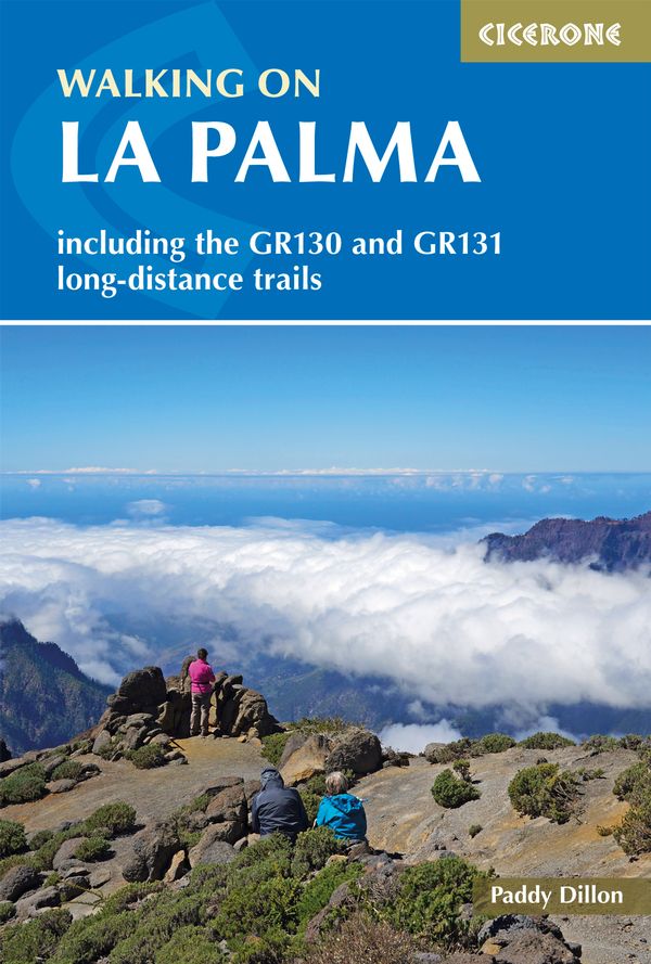
- Walking on La Palma: Including the GR130 and GR131 long-distance trails
- Guide to walking on La Palma. In total 45 day walks are described ranging from 7 to 32km in length, and covering a wide variety of terrain. Although La Palma is one of the smaller Canary Islands, there are routes of all types from easy strolls to hands-on scrambling, from simple day walks to long-distance treks on rocky mountain paths,... Read more
- Also available from:
- The Book Depository, United Kingdom
- De Zwerver, Netherlands

The Book Depository
United Kingdom
2019
United Kingdom
2019
- Walking on La Palma
- Including the GR130 and GR131 long-distance trails Read more
De Zwerver
Netherlands
2019
Netherlands
2019
- Wandelgids Walking on La Palma | Cicerone
- Guidebook to 45 walks and scrambles on La Palma in the Canary Islands, ranging from 7 to 31km. Some walks combine to complete the GR130 long-distance trail (eight days) and GR131 trail (three days). Areas explored include Santa Cruz and Buenavista. Contains a Spanish-English glossary. Read more

Stanfords
United Kingdom
2021
United Kingdom
2021
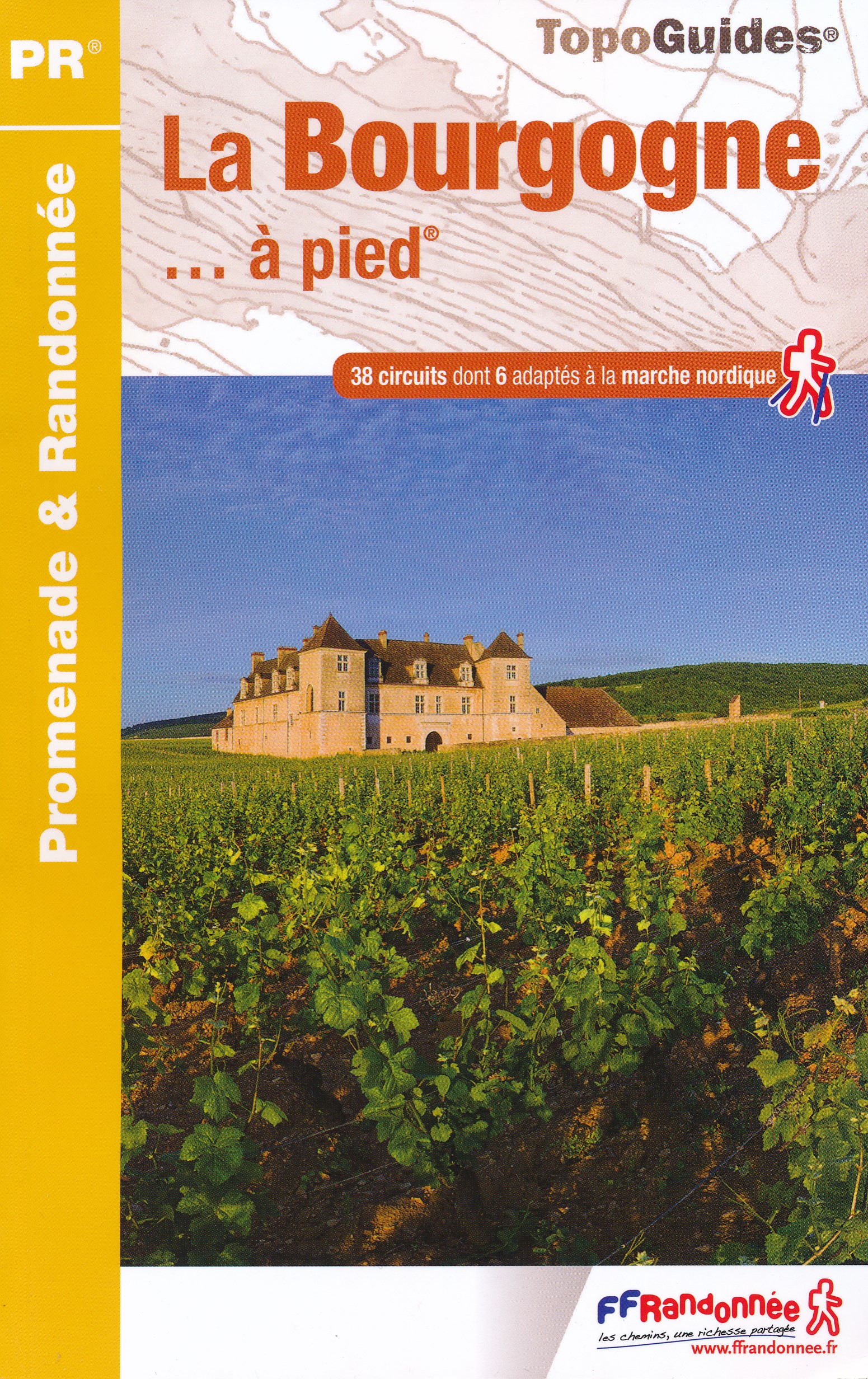
- La Bourgogne à pied
- La Bourgogne à pied, FFRP Topo-guide Ref. No. RE14, with 40 day walks of varying length and difficulty in Burgundy, including near Dijon, Beaune, Morvan Regional Park, etc. Current edition of this title was published in March 2016.To see the list of other FFRP guides with day walks please click on the series link.ABOUT THE FFRP (Fédération... Read more
- Also available from:
- The Book Depository, United Kingdom
- De Zwerver, Netherlands


- Also available from:
- De Zwerver, Netherlands
De Zwerver
Netherlands
2018
Netherlands
2018

The Book Depository
United Kingdom
2023
United Kingdom
2023
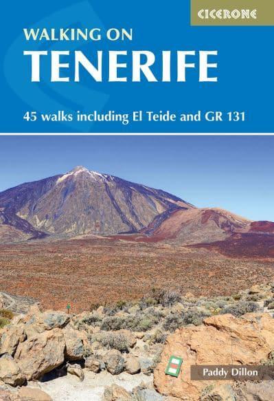
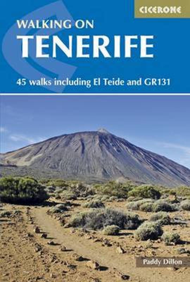
- Walking on Tenerife
- 45 walks including El Teide and GR 131 Read more
- Also available from:
- De Zwerver, Netherlands
De Zwerver
Netherlands
2023
Netherlands
2023
- Wandelgids Walking on Tenerife | Cicerone
- 45 walks including El Teide and GR 131 Read more

Stanfords
United Kingdom
United Kingdom
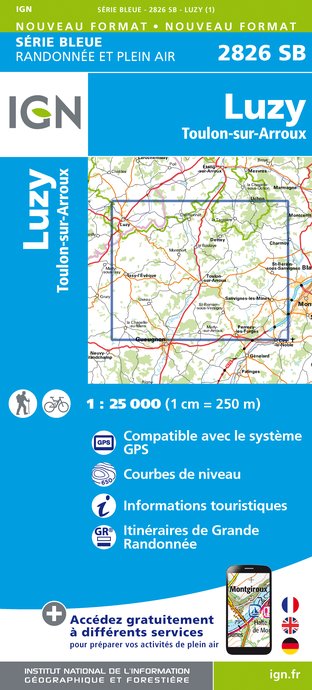
- Luzy - Toulon-sur-Arroux IGN 25K Série Bleue Map 2826SB
- Topographic survey of France at 1:25,000 in IGN`s excellent TOP25 / Série Bleue series. All the maps are GPS compatible, with a 1km UTM grid plus latitude and longitude lines at 5’ intervals. Contours are at 5m intervals except for mountainous areas where the maps have contours at 10m intervals, vividly enhanced by hill shading and graphics for... Read more
- Also available from:
- De Zwerver, Netherlands
De Zwerver
Netherlands
Netherlands
- Wandelkaart - Topografische kaart 2826SB Luzy, Toulon-sur-Arroux | IGN - Institut Géographique National
- L'indispensable carte de randonnée IGN aux alentours de Luzy - Toulon-sur-Arroux. A conserver dans son sac à dos. Read more
Bol.com
Netherlands
2015
Netherlands
2015
- Walking on Tenerife
- The latest in Paddy Dillon's series of guides to the Canary Islands, this guide covers all the best walking to be had on this hugely popular island, including routes along the GR131. With distance and difficulty ranging from short and easy to long and arduous there is suitable challenge for walkers of all abilities here, on 45 routes that... Read more
- Also available from:
- Bol.com, Belgium
Bol.com
Belgium
2015
Belgium
2015
- Walking on Tenerife
- The latest in Paddy Dillon's series of guides to the Canary Islands, this guide covers all the best walking to be had on this hugely popular island, including routes along the GR131. With distance and difficulty ranging from short and easy to long and arduous there is suitable challenge for walkers of all abilities here, on 45 routes that... Read more
Bol.com
Netherlands
Netherlands
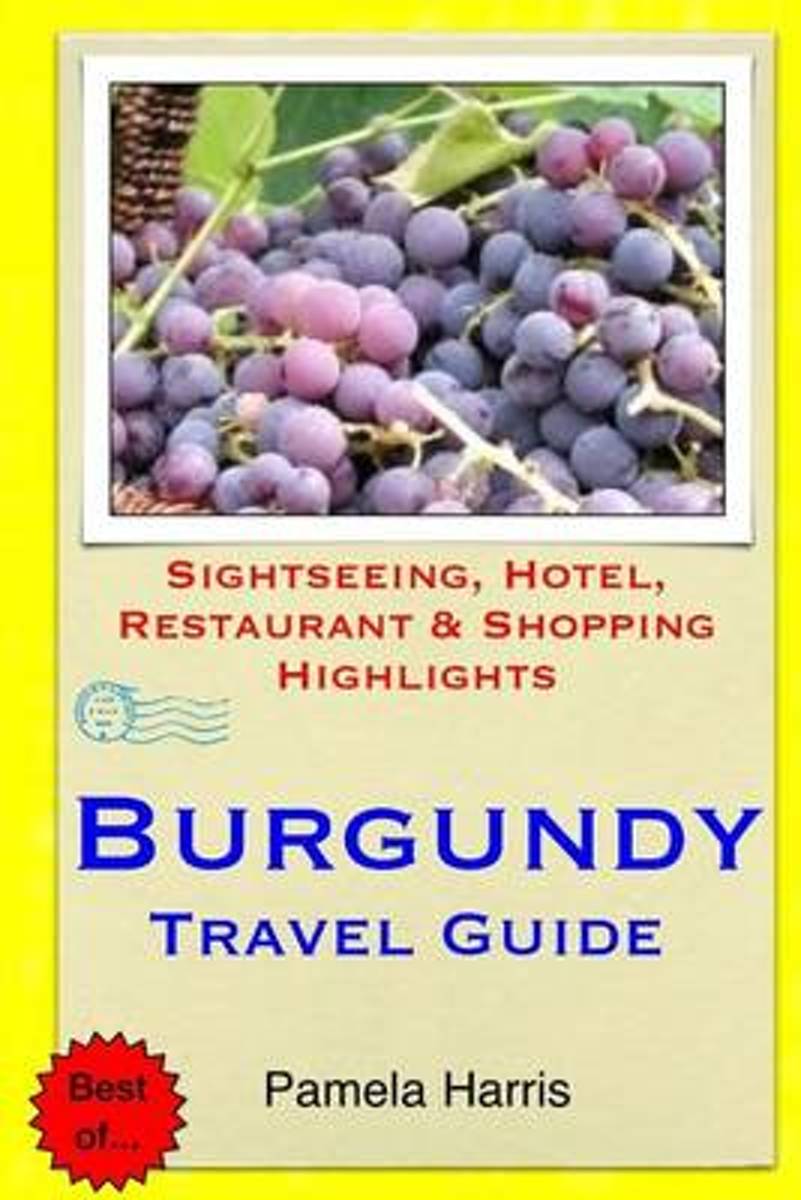
- Burgundy Travel Guide
- Burgundy is famous for its impressive wines and cuisine as well as for the rich architecture of its buildings, castles, and churches. The region also offers areas of natural beauty with many lakes and forests with good fishing, walking and horseback riding. Wine is the best-known product from the Burgundy region. The gentle landscapes near to... Read more
- Also available from:
- Bol.com, Belgium
Bol.com
Belgium
Belgium
- Burgundy Travel Guide
- Burgundy is famous for its impressive wines and cuisine as well as for the rich architecture of its buildings, castles, and churches. The region also offers areas of natural beauty with many lakes and forests with good fishing, walking and horseback riding. Wine is the best-known product from the Burgundy region. The gentle landscapes near to... Read more
More books…

Maps

Stanfords
United Kingdom
United Kingdom
- E3 Arquipelago de Madeira
- Plans included:Porto Santo (1:25 000)Porto de Recreio da Calheta (1:6250)Funchal (1:10 000)Água de Pena (1:5000)Porto de Machico (1:7500)Quinta do Lorde (1:5000)Ponta de São Lourenço (1:30 000)Enseada da Doca (Isla Deserta Grande) (1:25 000)Selvagem Grande (1:30 000)Selvagem Pequena (1:30 000)On this edition the chart specification has been... Read more

Stanfords
United Kingdom
United Kingdom
- Nerondes - Avord IGN 2424SB
- Topographic survey of France at 1:25,000 in IGN`s excellent TOP25 / Série Bleue series. All the maps are GPS compatible, with a 1km UTM grid plus latitude and longitude lines at 5’ intervals. Contours are at 5m intervals except for mountainous areas where the maps have contours at 10m intervals, vividly enhanced by hill shading and graphics for... Read more

Stanfords
United Kingdom
United Kingdom
- Czechia Shocart 50K Tourist Atlas
- Czech Republic Tourist Atlas from Shocart with over 600 pages of contoured mapping at an exceptionally detailed scale of 1:50,000 with hiking and cycling trails, presented in an A4 ring-binder with a hard slipcase. Each page is removable so coverage can be easily assembled for just selected parts of the country, or individual pages used on... Read more

Stanfords
United Kingdom
United Kingdom
- Lanzarote Kompass 241
- Lanzarote at 1:50,000 on a contoured and GPS compatible map from Kompass, with extensive tourist overprint, plus street plans of Arrecife, Puerto del Carmen and Teguise. Coverage includes the nearby islands of Graciosa, Montaña Clara and Alwegranza.Topography is vividly presented by contours at 50m intervals, enhanced by relief shading plus... Read more

Stanfords
United Kingdom
United Kingdom
- Transrhodopi - Long distance hiking and biking trail From Trigrad to Ivaylovgrad
- Western Rhodope Mountains at 1:100,000 on a contoured GPS compatible map from Domino extending from just west of the Pirin National Park to Asenovgrad in the north-east. The map is double-sided with a good overlap between the sides. Topography is shown by contours at 50m intervals with relief shading and spot heights, plus colouring for... Read more

Stanfords
United Kingdom
United Kingdom
- Dun-sur-Auron - Blet IGN 25K Série Bleue Map 2425SB
- Topographic survey of France at 1:25,000 in IGN`s excellent TOP25 / Série Bleue series. All the maps are GPS compatible, with a 1km UTM grid plus latitude and longitude lines at 5’ intervals. Contours are at 5m intervals except for mountainous areas where the maps have contours at 10m intervals, vividly enhanced by hill shading and graphics for... Read more

Stanfords
United Kingdom
United Kingdom
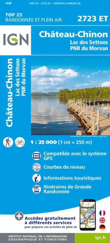
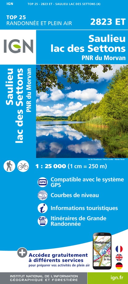
- Chateau-Chinon - Lac des Settons - PNR du Morvan IGN 2723ET
- Topographic survey of France at 1:25,000 in IGN`s excellent TOP25 / Série Bleue series. All the maps are GPS compatible, with a 1km UTM grid plus latitude and longitude lines at 5’ intervals. Contours are at 5m intervals except for mountainous areas where the maps have contours at 10m intervals, vividly enhanced by hill shading and graphics for... Read more

Stanfords
United Kingdom
United Kingdom
- Briare IGN 2421SB
- Topographic survey of France at 1:25,000 in IGN`s excellent TOP25 / Série Bleue series. All the maps are GPS compatible, with a 1km UTM grid plus latitude and longitude lines at 5’ intervals. Contours are at 5m intervals except for mountainous areas where the maps have contours at 10m intervals, vividly enhanced by hill shading and graphics for... Read more

Stanfords
United Kingdom
United Kingdom
- Quarre-les-Tombes - PNR du Morvan IGN TOP25 Map 2822OT
- Topographic survey of France at 1:25,000 in IGN`s excellent TOP25 / Série Bleue series. All the maps are GPS compatible, with a 1km UTM grid plus latitude and longitude lines at 5’ intervals. Contours are at 5m intervals except for mountainous areas where the maps have contours at 10m intervals, vividly enhanced by hill shading and graphics for... Read more
Stanfords
United Kingdom
United Kingdom
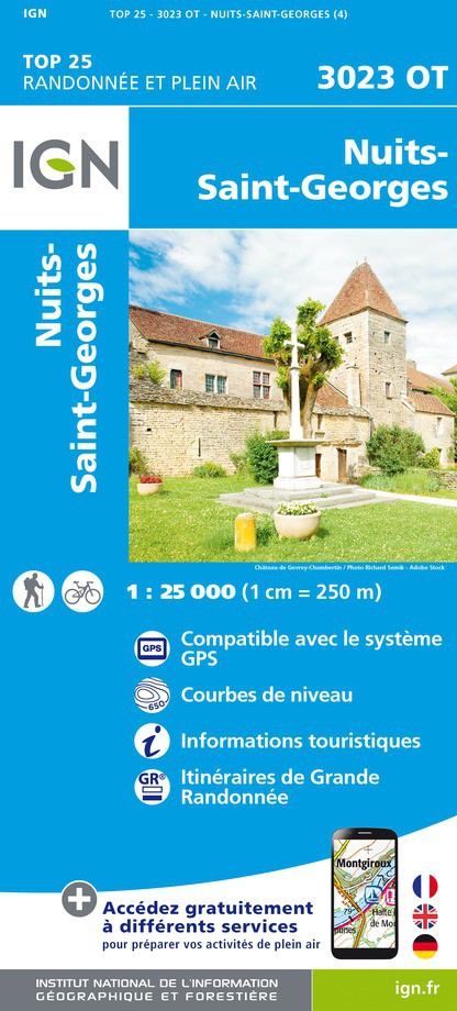
- Nuits-Saint-Georges IGN 3023OT
- Topographic survey of France at 1:25,000 in IGN`s excellent TOP25 / Série Bleue series. All the maps are GPS compatible, with a 1km UTM grid plus latitude and longitude lines at 5’ intervals. Contours are at 5m intervals except for mountainous areas where the maps have contours at 10m intervals, vividly enhanced by hill shading and graphics for... Read more
- Also available from:
- The Book Depository, United Kingdom
- De Zwerver, Netherlands


De Zwerver
Netherlands
Netherlands

- Also available from:
- De Zwerver, Netherlands

Stanfords
United Kingdom
United Kingdom
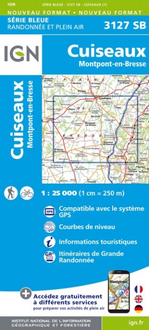
- Cuiseaux - Montpont-en-Bresse IGN 3127SB
- Topographic survey of France at 1:25,000 in IGN`s excellent TOP25 / Série Bleue series. All the maps are GPS compatible, with a 1km UTM grid plus latitude and longitude lines at 5’ intervals. Contours are at 5m intervals except for mountainous areas where the maps have contours at 10m intervals, vividly enhanced by hill shading and graphics for... Read more
- Also available from:
- The Book Depository, United Kingdom
- De Zwerver, Netherlands

De Zwerver
Netherlands
Netherlands
- Also available from:
- The Book Depository, United Kingdom
- De Zwerver, Netherlands


De Zwerver
Netherlands
Netherlands

- Also available from:
- The Book Depository, United Kingdom
- De Zwerver, Netherlands

De Zwerver
Netherlands
Netherlands

Stanfords
United Kingdom
United Kingdom
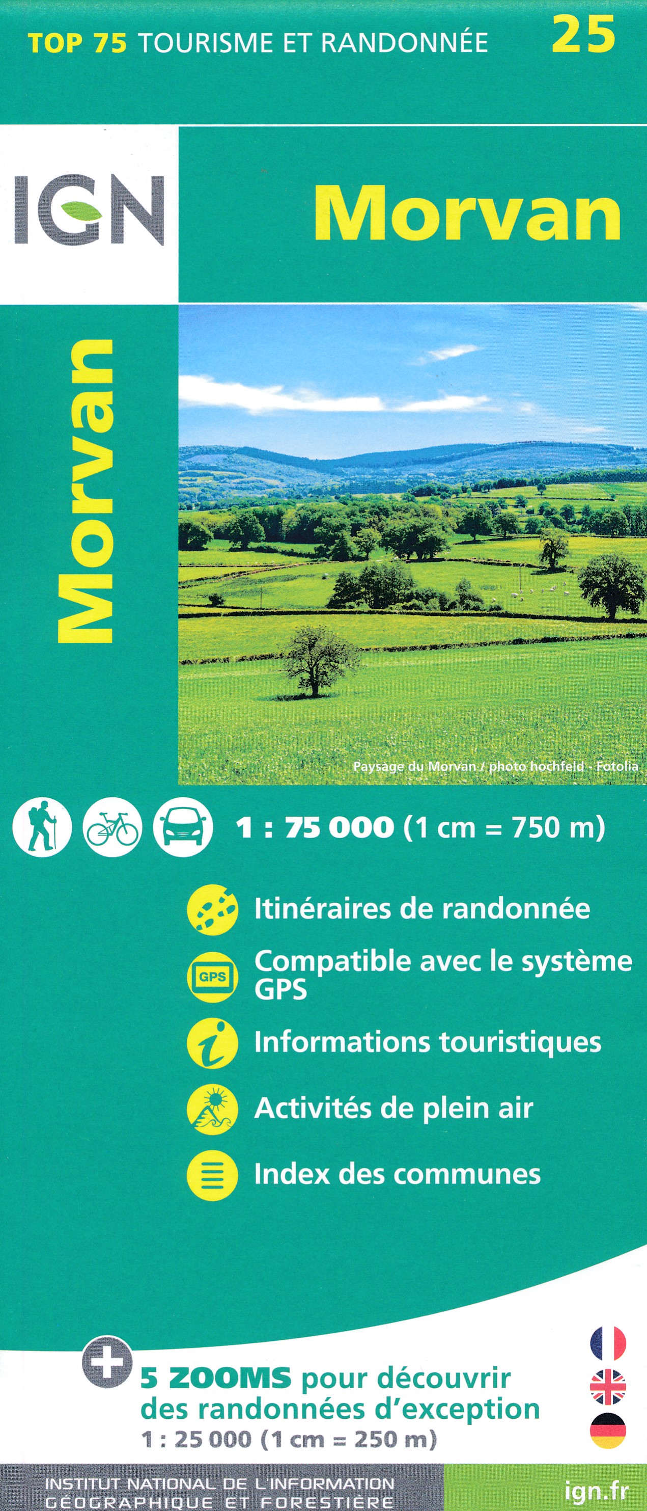
- Morvan IGN 75025
- Cartography of the main map at 1:75,000 is a direct enlargement of the mapping used in the IGN’s TOP100 series. Contours are at 40m intervals, enhanced by relief shading; additional colouring shows different types of vegetation (woods, brushwood, vineyards/orchards). Boundaries of national parks and other protected areas are marked. An... Read more
- Also available from:
- The Book Depository, United Kingdom
- De Zwerver, Netherlands
De Zwerver
Netherlands
Netherlands