E5
Description
- Name E5 (E5)
- Length of trail 3,050 km, 1,895 miles
- Length in days 150 days
- Start of trail Point du Raz (F)
- End of trail Verona (I)
- Traildino grading LW, Light walk, countryside walk

E5
Atlantic – Lake Constance – Alps – Adriatic
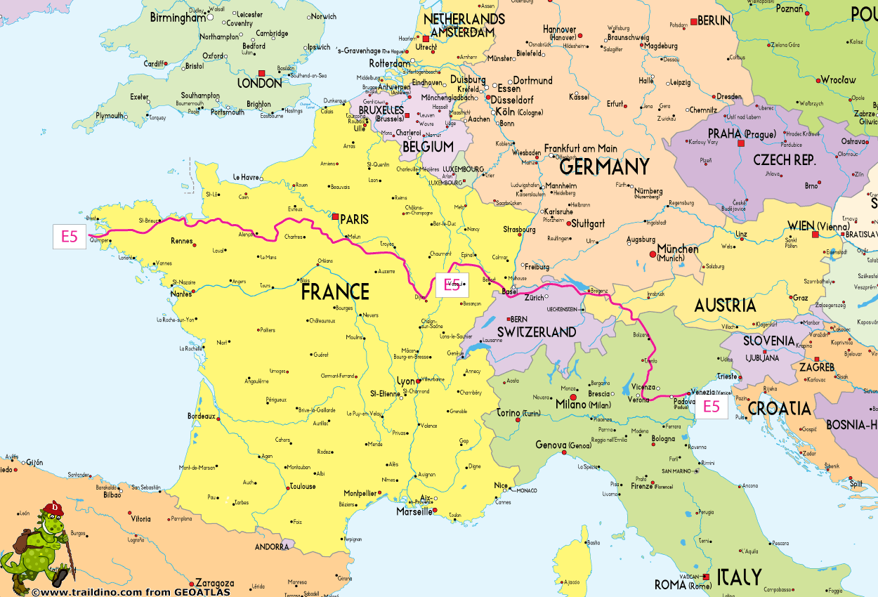
Leading west to east for 3050km, from Point du Raz in Brittany, France across Switzerland, Germany and Austria to end in Verona, Italy.
France
Switzerland
- Entering from Germany at Schaffhausen
- Via Rhenana
- Joint track with E4, south of Bodensee
Austria
- Start at Bodensee, Bregenz
- First village is Bregenz, Bodensee, border with Switzerland
- Bregenz – Hittisau / Hölfele Alm (Same as E4)
- Last village is Hittisau / Hölfele Alm, border with Germany
Germany
- First village is Staufner Haus am Hochgrat
- Staufner Haus – Oberstdorf
- Border with Austria in Allgäuer Alps
Austria
- Entering Austria again
- Own tracé (Allgäuer Alpen, Lechtaler Alpen, Pitztal, Ötztal)
- Last village is St. Leonhard, border with Italy
Italy
- Alpi Sarentini
Map
Links
Facts
Reports
Guides and maps
Lodging
Organisations
Tour operators
GPS
Other
Books
Bol.com
Netherlands
Netherlands
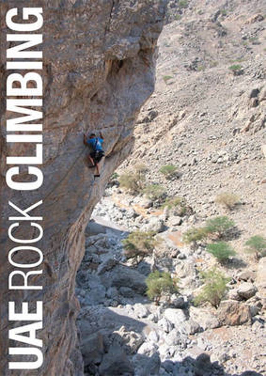
- UAE Rock Climbing
- For the last fifteen years, expatriate climbers have been developing cliffs in the United Arab Emirates and North-West Oman. None of the climbing has previously been documented in print. Though easily accessible by 1-3 hours driving from the ultra-modern Gulf cities - Abu Dhabi and Dubai - the cliffs are located in unique and remote desert and... Read more
- Also available from:
- Bol.com, Belgium

Bol.com
Belgium
Belgium
- UAE Rock Climbing
- For the last fifteen years, expatriate climbers have been developing cliffs in the United Arab Emirates and North-West Oman. None of the climbing has previously been documented in print. Though easily accessible by 1-3 hours driving from the ultra-modern Gulf cities - Abu Dhabi and Dubai - the cliffs are located in unique and remote desert and... Read more

De Zwerver
Netherlands
2007
Netherlands
2007
- Wandelgids Across the eastern alps: E5 | Cicerone
- From Lake Constance in Germany, this guidebook describes walking the E5 trek that runs 600km through a remarkable kaleidoscope of landscapes and culture in Switzerland, Austria and Italy, to its destination at Verona. It traverses the Allgauer, Lechtaler and Ötztaler Alps. There is a good network of alpine refuges and guesthouses on the route. Read more

Stanfords
United Kingdom
2011
United Kingdom
2011
- Alps Trekking
- An inspirational walking guide to 20 summer treks in the European Alps in Italy, Austria, Switzerland, France and Slovenia, by 8 Alpine trekking experts, including the classics such as the Tour of Mont Blanc and lesser-known routes like the Traverse of the Slovenian Alps. All the rich scenic diversity for which the Alps are renowned is... Read more
- Also available from:
- The Book Depository, United Kingdom
- Bol.com, Netherlands
- Bol.com, Belgium
- De Zwerver, Netherlands

The Book Depository
United Kingdom
2011
United Kingdom
2011
- Trekking in the Alps
- An inspirational guidebook to 20 classic treks in the Alps. As well as introducing new hiking areas in the Alps, classics such as the Tour of Mont Blanc, and Chamonix to Zermatt are included. Trekking in the Alps is immensely satisfying, and this book celebrates the rich and scenic diversity for which this great mountain range is renowned. Read more
Bol.com
Netherlands
2011
Netherlands
2011
- Trekking in the Alps
- An inspirational guide to the delights of Alpine multi-day hikes. With 20 hikes described, including classics such as the Tour of Mont Blanc and the Tour of the Vanoise as well as new multi-day routes like the Traverse of the Slovenian Alps, this guide celebrates the rich scenic diversity for which the Alps are renowned.The eight talented... Read more

Bol.com
Belgium
2011
Belgium
2011
- Trekking in the Alps
- An inspirational guide to the delights of Alpine multi-day hikes. With 20 hikes described, including classics such as the Tour of Mont Blanc and the Tour of the Vanoise as well as new multi-day routes like the Traverse of the Slovenian Alps, this guide celebrates the rich scenic diversity for which the Alps are renowned.The eight talented... Read more
De Zwerver
Netherlands
2019
Netherlands
2019
- Wandelgids Trekking in the Alps | Cicerone
- An inspirational guidebook to 20 classic treks in the Alps. As well as introducing new hiking areas in the Alps, classics such as the Tour of Mont Blanc, and Chamonix to Zermatt are included. Trekking in the Alps is immensely satisfying, and this book celebrates the rich and scenic diversity for which this great mountain range is renowned. Read more
Bol.com
Netherlands
2015
Netherlands
2015
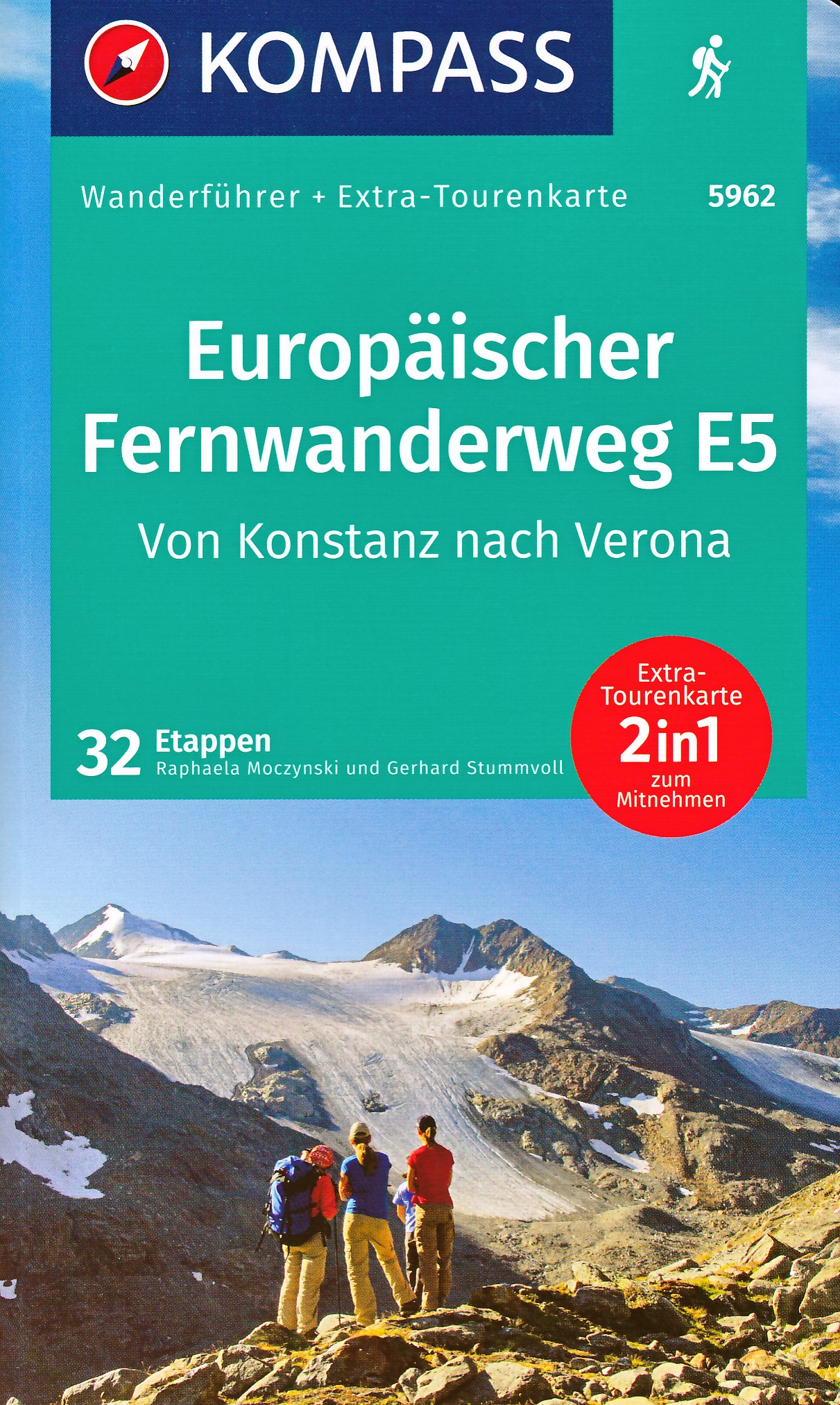
- Fernwanderweg E5
- Der E5 zeigt auf den 600 km vom Bodensee quer ber die Alpen nach Verona viele Gesichter: saftige Wiesen, felsige berg nge, m chtige Gletscher und mediterranes Flair. Read more
- Also available from:
- Bol.com, Belgium
- De Zwerver, Netherlands

Bol.com
Belgium
2015
Belgium
2015
- Fernwanderweg E5
- Der E5 zeigt auf den 600 km vom Bodensee quer ber die Alpen nach Verona viele Gesichter: saftige Wiesen, felsige berg nge, m chtige Gletscher und mediterranes Flair. Read more
De Zwerver
Netherlands
2024
Netherlands
2024
- Wandelgids Fernwanderweg E5 | Rother Bergverlag
- Duitstalige wandelgids met zeer goed beschreven wandelroutes die aan elkaar de Europese LAW E5 vormen. Redelijk kaartmateriaal, vooral de beschrijving van de route en de praktische info die er bij hoort is goed. Der Europäische Fernwanderweg E5 überquert die Alpen in Nord-Süd-Richtung auf etwa 600 km Länge. Überwiegend gut markiert führt er von... Read more
De Zwerver
Netherlands
2022
Netherlands
2022
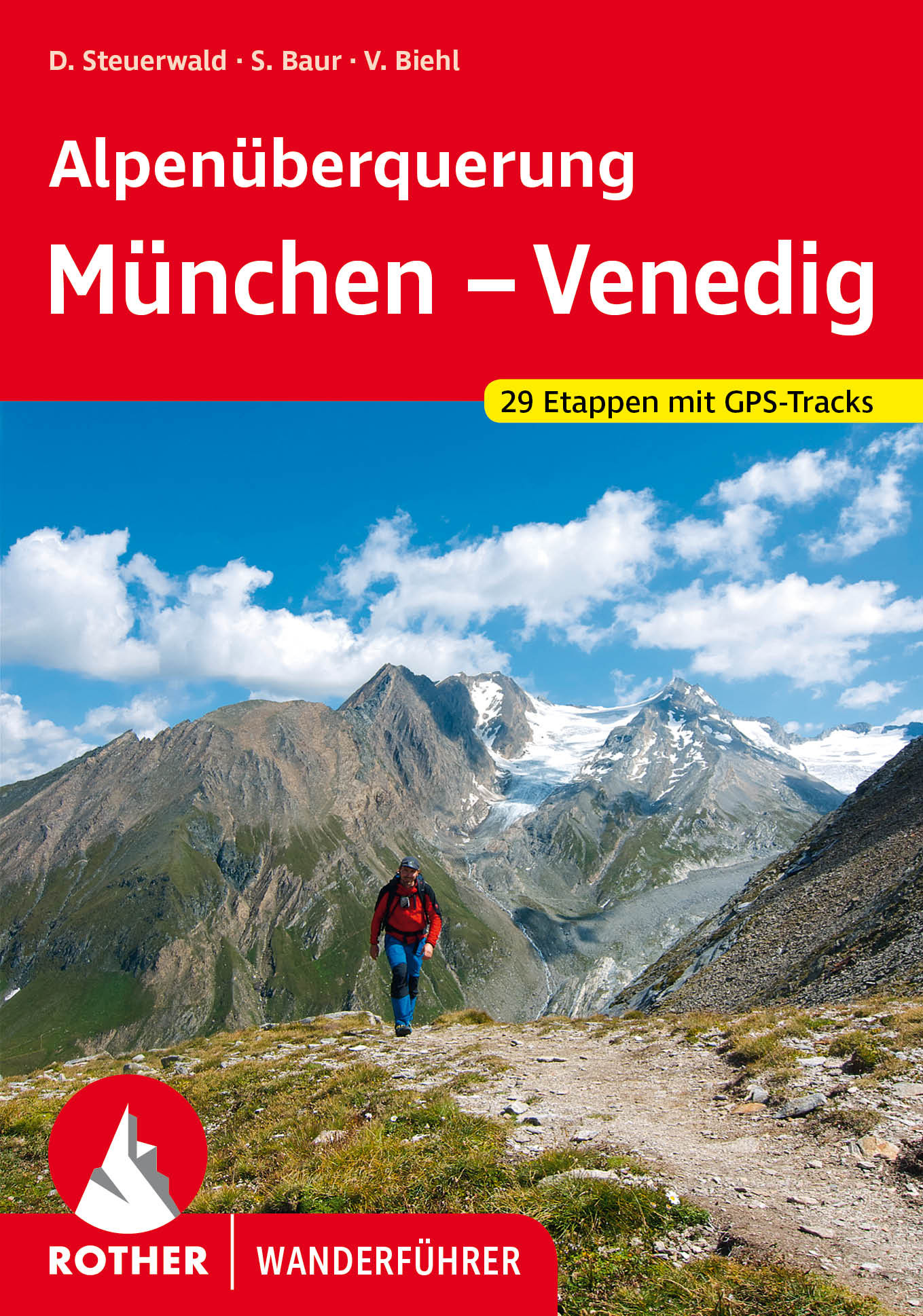
- Wandelgids Munchen - Venetie, München - Venedig | Rother Bergverlag
- Beschrijving van een lange afstand pad dwars door de Alpen van Munchen naar Venetie: goede beschrijvingen van de etappes, kaarten redelijk. Die anspruchsvolle Alpenüberquerung von München nach Venedig verläuft auf einer der interessantesten aller möglichen Routen über das höchste Gebirge Europas. Im Herzen Münchens beginnt die Tour am... Read more
Maps
Stanfords
United Kingdom
United Kingdom
- Bregenz F&B
- Indexed street plan of Bregenz extending north along the Bodensee coast to Lochau and Unter Hochsteg. Detail includes pedestrianised areas, railways, bus routes and cycle paths. Notable buildings are highlighted in red, and symbols indicate post offices, hostels, campsites and car parks.On the reverse is a 1:50,000 contoured map of the... Read more

Stanfords
United Kingdom
United Kingdom
- Lake Constance to Verona - E5 European Long-Distance Trail Kompass 2558
- The 601km eastern half of Europe’s E5 long distance footpaths from Lake Constance across the Austrian Alps to Verona on a waterproof and tear-resistant, contoured and GPS compatible concertina map from Kompass presenting the route on 40 panels, each 17.5x20cm. Plus accommodations recommendations and street plans.The route is highlighted on maps... Read more
- Also available from:
- De Zwerver, Netherlands
De Zwerver
Netherlands
Netherlands
- Wandelkaart 2558 Europäischer Fernwanderweg E5 | Kompass
- Ideal für die Planung und für unterwegs! • Übersichtliche Karten im idealen Maßstab 1:50 000 • Handliches Format 100 x 175 mm • Reiß- und wetterfestes Papier – ideal für jede Witterung • Kompakte Reiseführer-Infos zu den Highlights am Weg und Übernachtungsverzeichnis • Extra Stadtpläne mit Infos zu Apotheken, Geldautomaten, Werkstätten usw. Read more


