
GR11 - Grand Tour de Paris
Description
- Name GR11 - Grand Tour de Paris (GR11)
- Length of trail 618 km, 384 miles
- Length in days 31 days
- Start of trail Pont d'Austerlitz, Paris
- End of trail Pont d'Austerlitz, Paris
- Traildino grading EW, Easy walk, nature trail


11

Pays d'Ile de France
This is the big brother of the GR1. The GR1 of course explores the center of France and the world: Paris. The GR11 is a second hiking roundabout circling Paris, but much wider this time.
These are the regions you will be walking: le Mantois, le Vexin, Chantilly, Senlis, les forêts d’Ermenonville et de Retz, les vallées de l’Ourcq, de la Marne, du Petit et du Grand Morin, Provins, Moret-sur-Loing, Fontainebleau et sa forêt, Milly-la-Forêt, le Hurepoix et la vallée de Chevreuse.
Select some tracks
☐GR 113 (nord), 9.9km
☐GR 11.3 Variante de Lesaka / Lesakako aldaera, 13km
☐Liaison GR 1 - GR 11, 4.7km
☐Rota do Atlântico, 11km
☐PR-HU 189 Bielsa - Javierre - Parzán - Enlace GR 11, 4.7km
☐GR 11.2 variante Senda Pirenaica, 22km
☐GR 11.5 Senda Pirenaica variante 5, 27km
☐GR 11.4 Senda Pirenaica variante 4, 13km
☐GruBrìa Dorsale Seregno Parco Nord, 11km
☐GruBrìa Dorsale GR11 Groane Parco di Monza, 17km
☐GR 11(E), 12km
☐GR 11.6 Sender dels Pirineus. Variant Molló, 22km
☐GR 11.18 Variant Refugi de la Restanca - Refugi de Colomers, 7.4km
☐Liaison GR 1 - GR 11, 30km
☐GR11 Accès Gare de Trilport, 5.1km
☐Randonnée des Yvelines, accès GR 11, 3.4km
Map

Links
Facts
Reports
Guides and maps
Lodging
Organisations
Tour operators
GPS
Other
Books

The Book Depository
United Kingdom
2019
United Kingdom
2019
- Shorter Treks in the Pyrenees
- 7 great one and two week circular treks Read more
- Also available from:
- De Zwerver, Netherlands

De Zwerver
Netherlands
2019
Netherlands
2019
- Wandelgids Shorter Treks in the Pyrenees | Cicerone
- Guidebook detailing seven circular treks of 4-12 days in the beautiful Pyrenees. The varied routes cover both sides of the French-Spanish border and include both the High Pyrenees and the lower, more gentle mountains of the Basque Country and Catalonia. Variants are suggested for those wishing to shorten or extend the treks. Read more

Stanfords
United Kingdom
United Kingdom
- Vignemale - Valle de Bujaruelo Editorial Alpina
- Cross-border area of the Pyrenees at 1:25,000 on a contoured and GPS compatible map covering on the Spanish side the valleys of Bujaruelo and Ara with the western section of the Ordesa National Park and the Ordesa Valley, and within France extending from the Vignemale Massif to Gavarnie, plus a Spanish/French booklet with recommendations for... Read more
- Also available from:
- The Book Depository, United Kingdom
- De Zwerver, Netherlands

The Book Depository
United Kingdom
United Kingdom
- Vignemale - Valle de Bujaruelo
- Cross-border area of the Pyrenees at 1:25,000 on a contoured and GPS compatible map covering on the Spanish side the valleys of Bujaruelo and Ara with the western section of the Ordesa National Park and the Ordesa Valley, and within France extending from the Vignemale Massif to Gavarnie, plus a Spanish/French booklet with recommendations for... Read more

De Zwerver
Netherlands
Netherlands
- Wandelkaart 06 Vignemale - Valle de Bujaruelo | Editorial Alpina
- Cross-border area of the Pyrenees at 1:25,000 on a contoured and GPS compatible map covering on the Spanish side the valleys of Bujaruelo and Ara with the western section of the Ordesa National Park and the Ordesa Valley, and within France extending from the Vignemale Massif to Gavarnie, plus a Spanish/French booklet with recommendations for... Read more

- Also available from:
- De Zwerver, Netherlands


Stanfords
United Kingdom
United Kingdom
- Macizo de Monte Perdido - Valle de Ordesa - Pineta Editorial Alpina
- Ordesa and Monte Perdido National Park at 1:25,000 in a set of two GPS compatible recreational maps in an extensive and very popular series from Editorial Alpina, providing more detailed coverage of this popular hiking area.Contours are at 10m intervals, with relief shading and vegetation colouring. An overprint highlights waymarked PR hiking... Read more
- Also available from:
- The Book Depository, United Kingdom

The Book Depository
United Kingdom
United Kingdom
- Monte Perdido Macizo de / Valle de Ordesa / Pineta
- Ordesa and Monte Perdido National Park at 1:25,000 in a set of two GPS compatible recreational maps in an extensive and very popular series from Editorial Alpina, providing more detailed coverage of this popular hiking area.Contours are at 10m intervals, with relief shading and vegetation colouring. An overprint highlights waymarked PR hiking... Read more

Stanfords
United Kingdom
2019
United Kingdom
2019
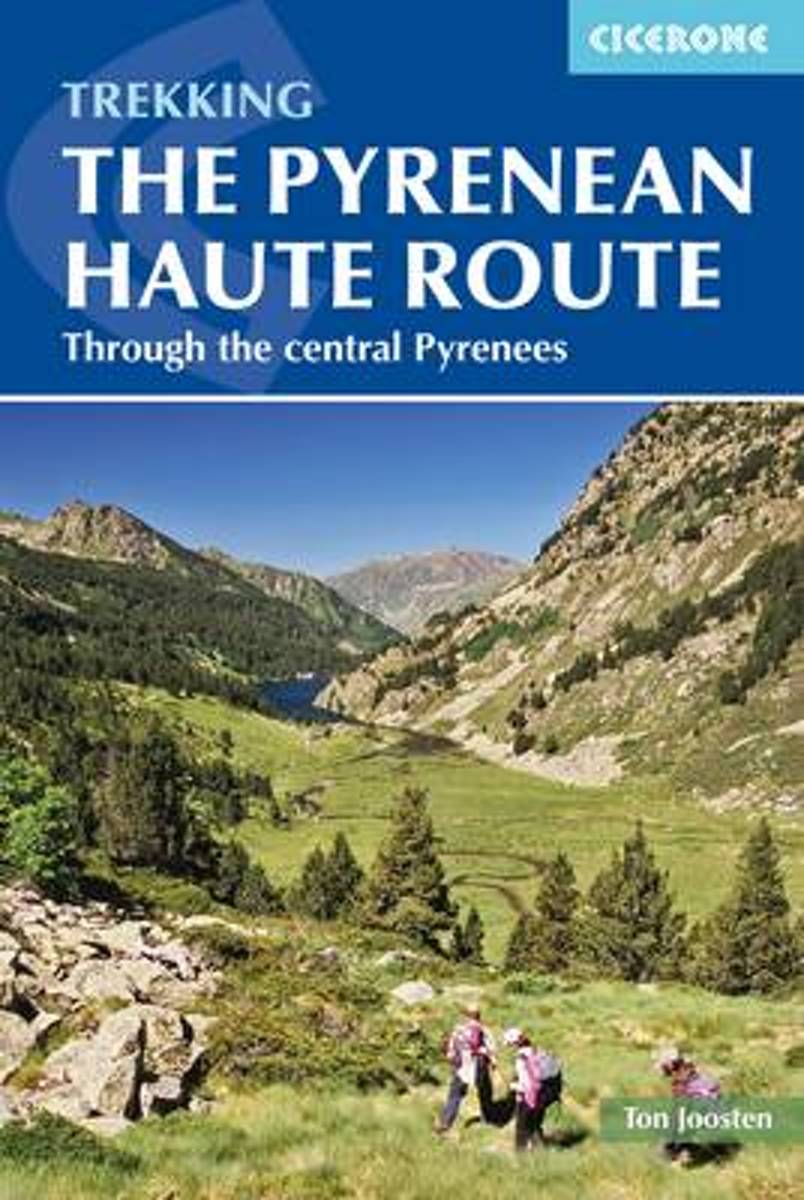
- The Pyrenean Haute Route
- There are three main trekking routes across the Pyrenees from coast to coast: of these, the Pyrenean Haute Route (or HRP for Haute Route Pyreneenne) is the most challenging - and arguably, the most spectacular. Unlike the GR10 and GR11, it is not waymarked and borders on mountaineering at times, sticking as closely as possible to the main... Read more
- Also available from:
- The Book Depository, United Kingdom
- De Zwerver, Netherlands


De Zwerver
Netherlands
2022
Netherlands
2022
- Wandelgids Pyrenean Haute Route - a high level trail, Pyreneeën HRP | Cicerone
- Guidebook to trekking the Pyrenean Haute Route, which zigzags across the Franco-Spanish border, staying close to the main ridge in the highest and most spectacular central Pyrenees. It covers 750km with over 40km of ascent, so is suitable for experienced mountain walkers only. The largely unwaymarked route is presented in 45 stages. Read more

Stanfords
United Kingdom
2010
United Kingdom
2010
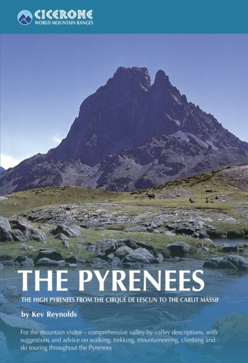
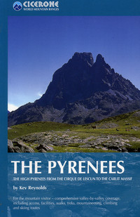
- The Pyrenees: The High Pyrenees from the Cirque de Lescun to the Carlit Massif
- The Pyrenees is accomplished walker Kev Reynolds’ large-format Cicerone guide to one of Europe’s most famous and impressive mountain ranges. The guide gives a valley-by-valley description of the High Pyrenees from west to east and is a very useful reference to help identify the best locations for walking, mountaineering, skiing and climbing.... Read more
- Also available from:
- The Book Depository, United Kingdom
- Bol.com, Netherlands
- Bol.com, Belgium
- De Zwerver, Netherlands

The Book Depository
United Kingdom
2010
United Kingdom
2010
- The Pyrenees
- The High Pyrenees from the Cirque de Lescun to the Carlit Massif Read more
Bol.com
Netherlands
2010
Netherlands
2010
- The Pyrenees
- A resource book covering the finest walks, treks and climbs in the High Pyrenees for 400km between France and Spain, from the Cirque de Lescun, on the edge of the Basque country in the west, to the Carlit massif and the Cerdagne to the east of Andorra. The book is divided into five regional chapters: the Western Valleys; Cirques and Canyons;... Read more
Bol.com
Belgium
2010
Belgium
2010
- The Pyrenees
- A resource book covering the finest walks, treks and climbs in the High Pyrenees for 400km between France and Spain, from the Cirque de Lescun, on the edge of the Basque country in the west, to the Carlit massif and the Cerdagne to the east of Andorra. The book is divided into five regional chapters: the Western Valleys; Cirques and Canyons;... Read more
De Zwerver
Netherlands
2010
Netherlands
2010
- Wandelgids - Klimgids - Klettersteiggids The Pyrenees | Cicerone
- A resource book covering the finest walks, treks and climbs in the High Pyrenees for 400km between France and Spain, from the Cirque de Lescun, on the edge of the Basque country in the west, to the Carlit massif and the Cerdagne to the east of Andorra. It is the first in our World Mountain Ranges series. Read more
De Zwerver
Netherlands
2024
Netherlands
2024
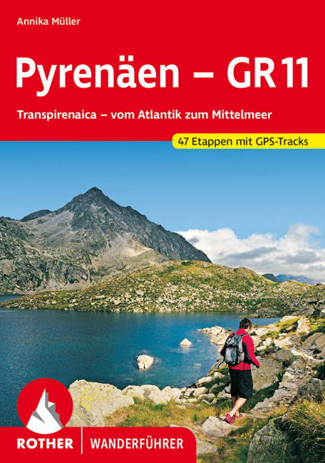
- Wandelgids Rother Wandefuhrer Spanje Pyrenäen - GR 11 - Pyreneeen | Rother Bergverlag
- Goede compacte wandelgids van de GR11, de Spaanse doorgaande Pyreneeën route. Veel praktische informatie, kaartmateriaal beperkt, met hoogteprofielen. Majestätisch ragen schneebedeckte Gipfel auf, verträumt liegen Bergseen in stillen Landschaften, wie von der Zeit vergessen scheinen die wenigen, kleinen Bergdörfer zu sein – und über ihnen allen... Read more
De Zwerver
Netherlands
2024
Netherlands
2024

The Book Depository
United Kingdom
2018
United Kingdom
2018
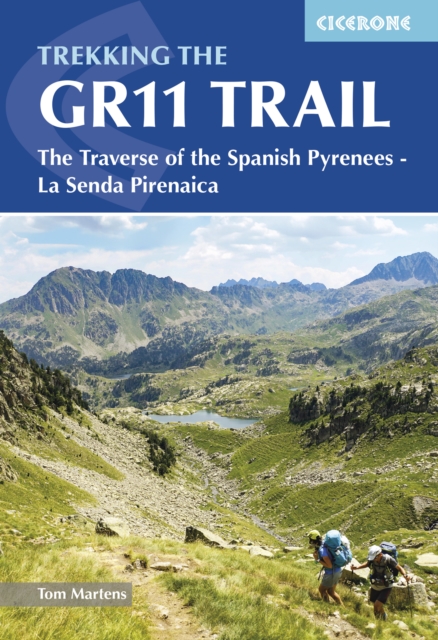
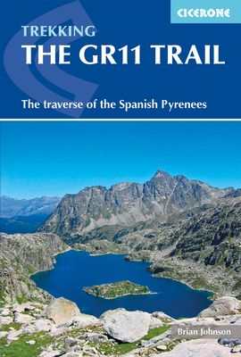
- The GR11 Trail
- The Traverse of the Spanish Pyrenees - La Senda Pirenaica Read more
- Also available from:
- Bol.com, Netherlands
- Bol.com, Belgium
Bol.com
Netherlands
2018
Netherlands
2018
- The GR11 Trail
- This comprehensive guidebook to the GR11 trail, which runs 820km from the Atlantic to the Mediterranean, provides everything trekkers will need to take up the challenge - detailed route description, excellent photographs, lots of background information and unique custom-produced maps. This glorious traverse of the Pyrenees, on the Spanish side,... Read more
Bol.com
Belgium
2018
Belgium
2018
- The GR11 Trail
- This comprehensive guidebook to the GR11 trail, which runs 820km from the Atlantic to the Mediterranean, provides everything trekkers will need to take up the challenge - detailed route description, excellent photographs, lots of background information and unique custom-produced maps. This glorious traverse of the Pyrenees, on the Spanish side,... Read more
Bol.com
Netherlands
2012
Netherlands
2012
- The Pyrenean Haute Route
- The Pyrenean High-Level Route is probably the most beautiful, spectacular and challenging trek in the Pyrenees. Unlike the GR10 and GR11, the trek from Hendaye to Banyuls-sur-Mer crosses the French Spanish border many times, exploring both sides of the mountain range and staying as close as possible to the main ridge of the Pyrenees. The 800km... Read more
- Also available from:
- Bol.com, Belgium
Bol.com
Belgium
2012
Belgium
2012
- The Pyrenean Haute Route
- The Pyrenean High-Level Route is probably the most beautiful, spectacular and challenging trek in the Pyrenees. Unlike the GR10 and GR11, the trek from Hendaye to Banyuls-sur-Mer crosses the French Spanish border many times, exploring both sides of the mountain range and staying as close as possible to the main ridge of the Pyrenees. The 800km... Read more
Bol.com
Netherlands
Netherlands
- Through The Spanish Pyrenees
- Walking the GR11 (La Senda) trek, as described in this guidebook, takes you through Spain's Pyrenees from the Atlantic at Iruns to the Mediterranean at Calaques, and is one of the world's great trekking routes. The Spanish Pyrenees present a wonderland to the holidaymaker, whether backpacker, botanist, canoeist, cyclist, entomologist,... Read more
- Also available from:
- Bol.com, Belgium
Bol.com
Belgium
Belgium
- Through The Spanish Pyrenees
- Walking the GR11 (La Senda) trek, as described in this guidebook, takes you through Spain's Pyrenees from the Atlantic at Iruns to the Mediterranean at Calaques, and is one of the world's great trekking routes. The Spanish Pyrenees present a wonderland to the holidaymaker, whether backpacker, botanist, canoeist, cyclist, entomologist,... Read more
Maps
Stanfords
United Kingdom
United Kingdom
- Ordesa - Monte Perdido National Park Editorial Alpina 2-Map Set
- Ordesa and Monte Perdido National Park at 1:25,000 in a set of two GPS compatible recreational maps in an extensive and very popular series from Editorial Alpina, providing more detailed coverage of this popular hiking area.Contours are at 10m intervals, with relief shading and vegetation colouring. An overprint highlights waymarked PR hiking... Read more
Stanfords
United Kingdom
United Kingdom
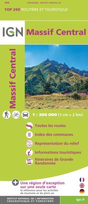
- Massif Central IGN Top200 204
- Pyrénées Ouest map from the IGN at 1:200,000, with excellent presentation of the terrain through contours and vivid relief shading, plenty of names of topographic features, long-distance GR hiking routes, places of interest, etc. The map is designed to provide convenient coverage of the western and central part of the Pyrenees, extending across... Read more

Stanfords
United Kingdom
United Kingdom
- GR 11: La Senda
- GR11 long-distance footpaths along the Spanish side of the Pyrenees in a French language guide from Rando Editions, with extracts from the publisher’s topographic series at 1:50,000 highlighting the route and mountain refuges.The guide divides the route into 40 sections and covers it from the Mediterranean, starting at Cap de Creus on the Costa... Read more

Stanfords
United Kingdom
United Kingdom
- Terres de l`Ebre
- Terres de l`Ebre map at 1:100,000 in the topographic survey of Catalonia published by the Institut Cartogràfic de Catalunya, with very detailed coverage of a large area and an excellent representation of the region’s topography. Maps in this series have relief presented by contours at 40m intervals, enhanced by additional hill-shading and spot... Read more

Stanfords
United Kingdom
United Kingdom
- Pirineu Oriental - Girona - Costa Brava
- Pirineu Oriental - Girona - Costa Brava map, covering the eastern part of the Catalan Pyrenees and the coast southwards to Pineda de Mar at 1:100,000 in the topographic survey of Catalonia published by the Institut Cartogràfic de Catalunya, with very detailed coverage of a large area and an excellent representation of the region’s topography.... Read more
Stanfords
United Kingdom
United Kingdom
- Pla de Lleida
- Pla de Lleida map at 1:100,000 in the topographic survey of Catalonia published by the Institut Cartogràfic de Catalunya, with very detailed coverage of a large area and an excellent representation of the region’s topography. Maps in this series have relief presented by contours at 40m intervals, enhanced by additional hill-shading and spot... Read more
Stanfords
United Kingdom
United Kingdom
- Pirineu Occidental
- Pirineu Occidental, the western part of the Catalan Pyrenees, at 1:100,000 in the topographic survey of Catalonia published by the Institut Cartogràfic de Catalunya, with very detailed coverage of a large area and an excellent representation of the region’s topography.Maps in this series have relief presented by contours at 40m intervals,... Read more
Stanfords
United Kingdom
United Kingdom
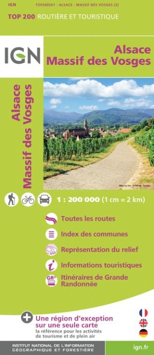
- Massif des Vosges - Plaine d`Alsace IGN Top200 201
- Pyrénées Ouest map from the IGN at 1:200,000, with excellent presentation of the terrain through contours and vivid relief shading, plenty of names of topographic features, long-distance GR hiking routes, places of interest, etc. The map is designed to provide convenient coverage of the western and central part of the Pyrenees, extending across... Read more

Stanfords
United Kingdom
United Kingdom
- La Senda de Camille Editorial Alpina
- La Senda de Camille, the Pyrenean Bear Trail, a 104-km circuit in the central Pyrenees, on a contoured GPS compatible map at 1:25,000 from Editorial Alpina, plus a booklet providing information on mountain refuges. The route, which crosses over from the Spanish side to the Parc National des Pyrénées in France and incorporates part of the... Read more
Stanfords
United Kingdom
United Kingdom
- Camp de Tarragona
- Camp de Tarragona map at 1:100,000 in the topographic survey of Catalonia published by the Institut Cartogràfic de Catalunya, with very detailed coverage of a large area and an excellent representation of the region’s topography. Maps in this series have relief presented by contours at 40m intervals, enhanced by additional hill-shading and spot... Read more

Stanfords
United Kingdom
United Kingdom
- Barcelona and Environs ICGC 100K 5
- Barcelona and Environs map at 1:100,000 in the topographic survey of Catalonia published by the Institut Cartogràfic de Catalunya, with very detailed coverage of a large area and an excellent representation of the region’s topography. Maps in this series have relief presented by contours at 40m intervals, enhanced by additional hill-shading and... Read more
Stanfords
United Kingdom
United Kingdom
- Comarques Centrales
- Comarques Centrales, the foothills of the Catalan Pyrenees including Ripoll, Olot, Berga, Vic, Solsona, etc, at 1:100,000 in the topographic survey of Catalonia published by the Institut Cartogràfic de Catalunya, with very detailed coverage of a large area and an excellent representation of the region’s topography.Maps in this series have... Read more

Stanfords
United Kingdom
United Kingdom
- Ordesa and Monte Perdido National Park Editorial Alpina
- Ordesa and Monte Perdido National Park at 1:40,000 on a GPS compatible recreational map in an extensive and very popular series from Editorial Alpina, including a booklet with English language descriptions of several walks, climbs, etc.Contours are at 20m intervals, with relief shading and altitude colouring. An overprint highlights waymarked... Read more
- Also available from:
- The Book Depository, United Kingdom

Stanfords
United Kingdom
United Kingdom
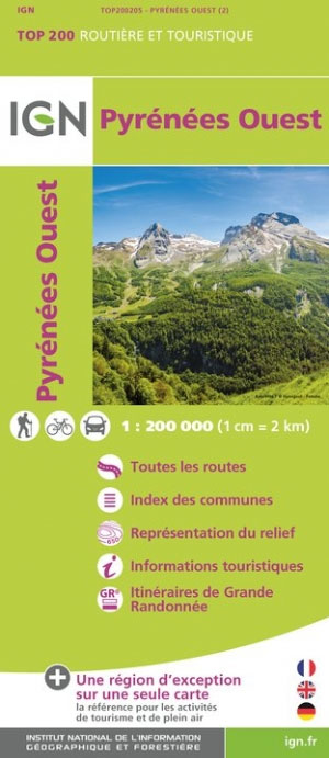
- Pyrenees West IGN Top200 205
- Pyrénées Ouest map from the IGN at 1:200,000, with excellent presentation of the terrain through contours and vivid relief shading, plenty of names of topographic features, long-distance GR hiking routes, places of interest, etc. The map is designed to provide convenient coverage of the western and central part of the Pyrenees, extending across... Read more
- Also available from:
- The Book Depository, United Kingdom

The Book Depository
United Kingdom
United Kingdom
- Pyrenees Western
- Pyrénées Ouest map from the IGN at 1:200,000, with excellent presentation of the terrain through contours and vivid relief shading, plenty of names of topographic features, long-distance GR hiking routes, places of interest, etc. The map is designed to provide convenient coverage of the western and central part of the Pyrenees, extending across... Read more

Stanfords
United Kingdom
United Kingdom
- Pyrenees East IGN Top200 206
- Pyrénées Ouest map from the IGN at 1:200,000, with excellent presentation of the terrain through contours and vivid relief shading, plenty of names of topographic features, long-distance GR hiking routes, places of interest, etc. The map is designed to provide convenient coverage of the western and central part of the Pyrenees, extending across... Read more
- Also available from:
- The Book Depository, United Kingdom

The Book Depository
United Kingdom
United Kingdom
- Pyrenees Eastern
- Pyrénées Ouest map from the IGN at 1:200,000, with excellent presentation of the terrain through contours and vivid relief shading, plenty of names of topographic features, long-distance GR hiking routes, places of interest, etc. The map is designed to provide convenient coverage of the western and central part of the Pyrenees, extending across... Read more