GR16 - Sentier de la Semois
Description
- Name GR16 - Sentier de la Semois (GR16)
- Length of trail 205 km, 127 miles
- Length in days 10 days
- Start of trail Arlon (B)
- End of trail Montherme (F)
- Traildino grading EW, Easy walk, nature trail


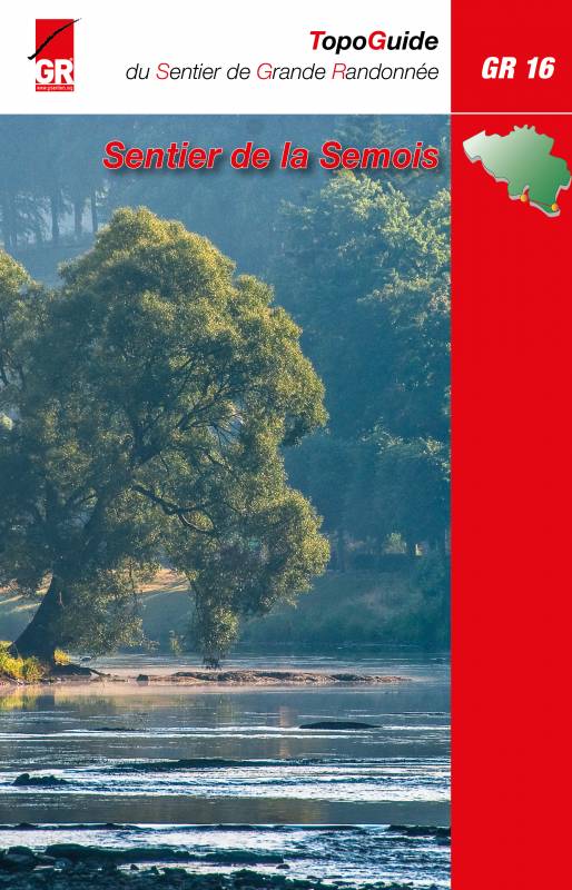
GR16, Sentier de la Semois, Arlon - Montherme, 205 km
The Semois or Semoy is a river meandering its way through the Ardennes, in the south of Belgium, near the French border. Its source is somewhere near Luxembourg. It's mouth in the river Meuse, in France. The trail follows the river through an attractive landscape, starting with light rolling fields to the higher hills and forests of the Ardennes. In France the trail connects to the GR12.
Map
Links
Facts
- Trekkings.be Transsemoisienne wandeltocht semois semoy randonnee contrat riviere semois (Dutch)
Good webpage on Trekking.be, a lot of information about the trail and the countryside you pass, and a trip report from the author.
- GR 16 Sentier de la Semois | Route Overzicht | GR-wandelen | Grote Routepaden (Dutch)
Short factsheet.
- Piet Smulders - GR 16 Sentier de la Semois
Reports
- Tweedaagse op de GR 16 en GR 14 van uit Bouillon (Dutch)
Weekend hiking met vertrek en aankomst in Bouillon op de GR 16 en GR 14. Langs hoogtepunten als de Tombeau de Géant, Promenade, Les Echelles de Rochehaut, Semois, Pont de Claies,...
Guides and maps
Lodging
Organisations
Tour operators
GPS
Other
Books

Netherlands
2015
- Wandelgids GR16 Sentier de la Semois | GR Sentiers
- Franstalige wandelgids met een beschrijving van de GR 16. De route is ingetekend op topografische kaarten 1/50.000 en nauwkeurig beschreven. De gids bevat bovendien toeristische informatie, gegevens over openbaar vervoer, bevoorrading en overnachting. Une des plus caractéristiques aussi: à vol d'oiseau; seulement quatre vingt kilomètres... Read more