GR34 - Sentier des Doaniers
Description
- Name GR34 - Sentier des Doaniers (GR34)
- Length of trail 1,700 km, 1,056 miles
- Length in days 85 days
- Start of trail Vitré
- End of trail Tour-du-Parc, Morbihan
- Traildino grading MW, Moderate walk, backpacking trail
- Hut tour grading T1, Walk


34
 Vitré (near Rennes) - Tour-du-Parc (Morbihan, south coast), 1700 km, 10 weeks
The GR34 - or Sentier des Douaniers - is a trail for those who enjoy hiking on high cliffs, views of the ocean, smell of salt water. Brittany has the best coastal scenery of France. Maybe it has not the quiescence of the English coastline. There is a remarkable connection between England and Brittany, a similarity in language and culture. The trail starts a bit inland, near Rennes, runs north, and then rounds the entire peninsula including the westernmost point of France, Cap du Raz.
Select some tracks
Map


Links
Facts
Reports
Guides and maps
Lodging
Organisations
Tour operators
GPS
Other
Books

Stanfords
United Kingdom
2020
United Kingdom
2020
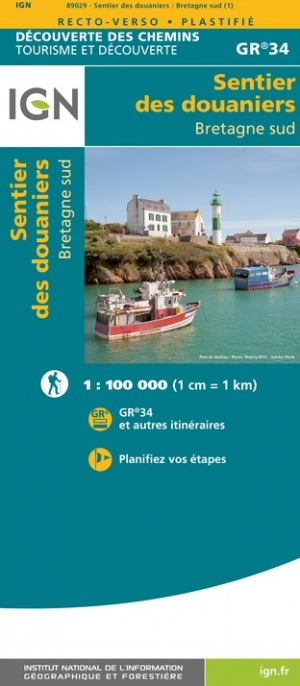
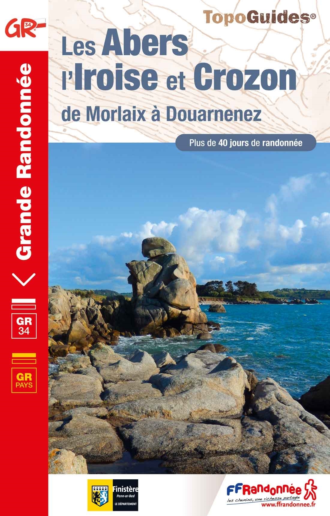
- Les Abers - le Chemin de Phares GR34/GR34F
- Les Abers - le chemin de phares, FFRP topoguide Ref. no. 347, covering the coastal route in north-western Brittany between Morlaix, Brest, and le Fau, plus 4 walks on the Ile d`Ouessant. Current edition of this title was published in September 2017.Between Morlaix and Brest, where the sea has dug deep furrows in the land. More than 20 days of... Read more

Stanfords
United Kingdom
2019
United Kingdom
2019
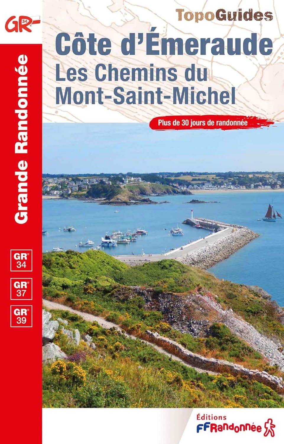
- Cote d`Emeraude - Les Chemins du Mont-Saint-Michel GR34/GR37
- Côte d`Emeraude: Les Chemins du Mont-St-Michel, FFRP topoguide Ref. no. 345, covering in all 636km of GR routes in western Brittany: the coastal path between Mont-St-Michel, St-Malo and St-Brieuc, plus circuits linking Rennes with the coast. Current edition of this title was published in March 2019 ABOUT THE FFRP (Fédération française de la... Read more
Stanfords
United Kingdom
2020
United Kingdom
2020
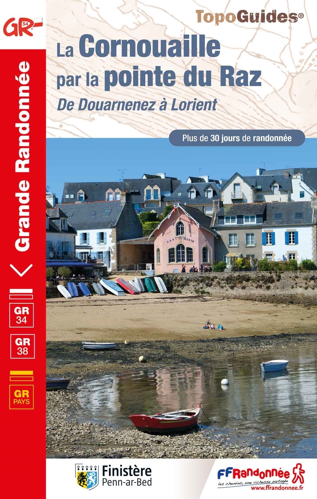
- La Cote de Cornouaille GR34
- GR34: La Côte de Cornouaille, FFRP topo-guide ref. no. 348, one of the titles from an extensive series of light, high quality, A5 paperback guides to the Sentiers de Grande Randonnée, the GR routes, a dense network of long-distance footpaths across the French countryside. Each topo-guide covers either a circular route, or part of a longer path.... Read more
Stanfords
United Kingdom
2019
United Kingdom
2019
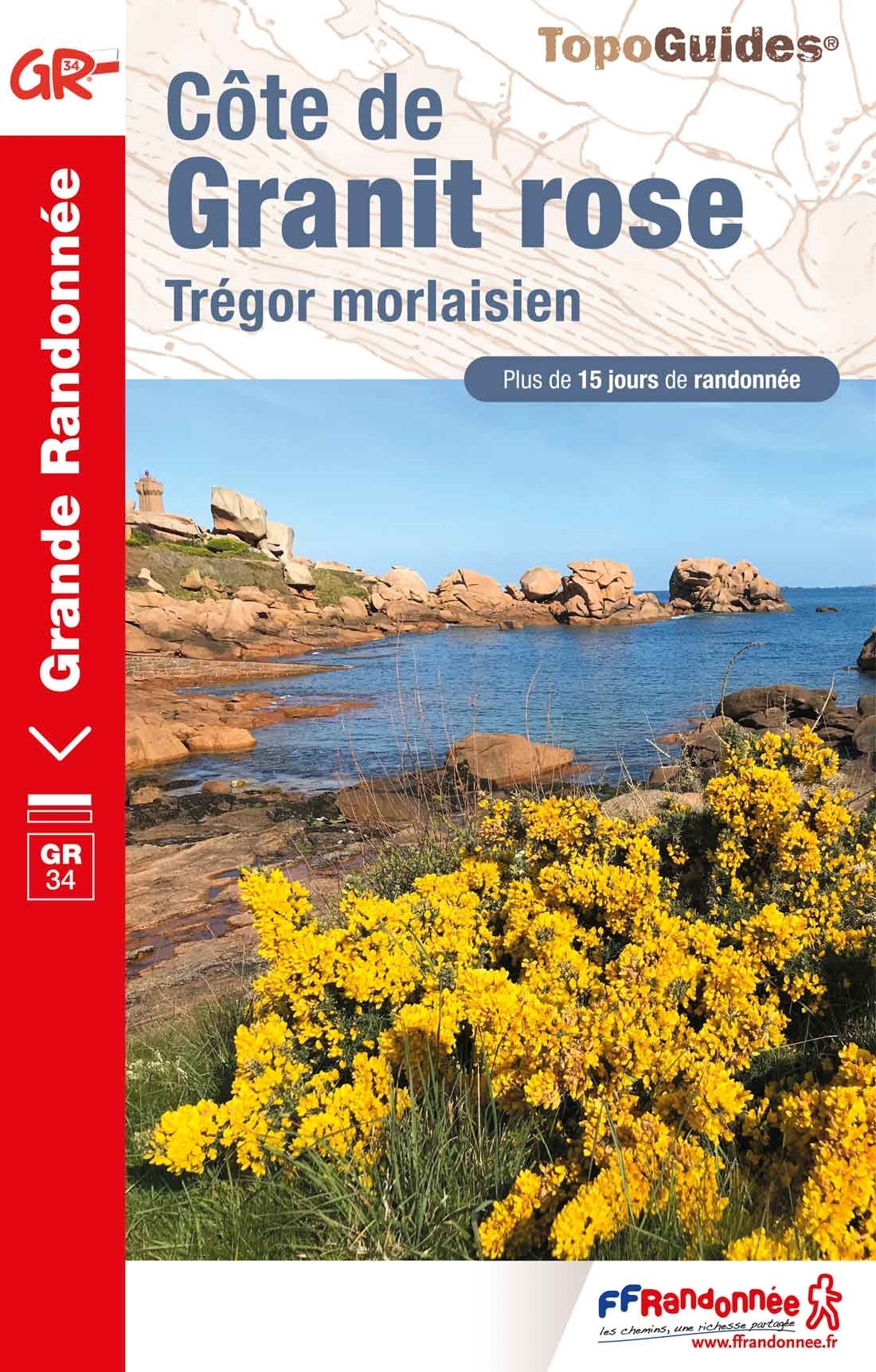
- Côte de Granit rose - Trégor morlaisien GR34/GR34A,B,D/GR380
- Côte de Granit rose - Trégor morlaisien, FFRP topoguide Ref. no. 346, covering 608kms of routes along the northern coast of Brittany between Saint-Brieuc and Morlaix, including inland circuits. Current edition of this title was published in May 2018.Pink Granite Coast and Bruyères coast: you are in Armor. It is the ”country by the sea”, with... Read more

The Book Depository
United Kingdom
2022
United Kingdom
2022
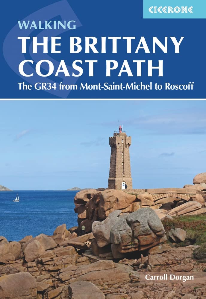
- Walking the Brittany Coast Path
- The GR34 from Mont-Saint-Michel to Roscoff Read more
- Also available from:
- De Zwerver, Netherlands
De Zwerver
Netherlands
2022
Netherlands
2022
- Wandelgids The Brittany Coast Path | Cicerone
- The GR34 from Mont-Saint-Michel to Roscoff Read more


De Zwerver
Netherlands
2023
Netherlands
2023
De Zwerver
Netherlands
2024
Netherlands
2024
More books…
Maps

- Also available from:
- De Zwerver, Netherlands

- Also available from:
- De Zwerver, Netherlands