
GR700 - Chemin de Régordane
Description
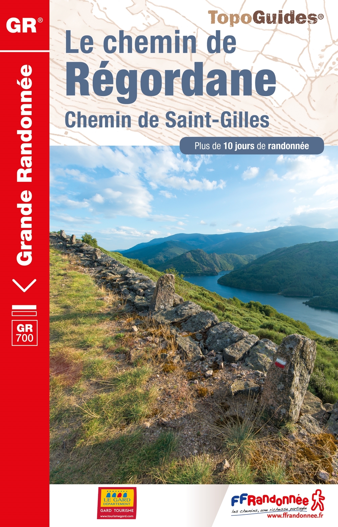
- Name GR700 - Chemin de Régordane (GR700)
- Length of trail 242 km, 150 miles
- Length in days 12 days
- Start of trail Puy-en-Velay
- End of trail Saint Gilles
- Traildino grading EW, Easy walk, nature trail


700

Chemin de Régordane, Voie régordane, Chemin de St Gilles, Puy-en-Velay - Saint Gilles, 242 km, 12 days
The Regordane or St Gilles Way in Auvergne and Languedoc (GR700), is originally a medieval pilgrimage route. It runs from Saint Gilles to Le Puy en Velay.
The FFRP created a marked hiking route using the old way, and printed a topoguide.
This way is an attractive alternative route to Santiago de Compostela. The normal way to the apostle's city is the GR65 to Ostabat.
Visit Traildino's overview page for the Way of Saint James / Camino de Santiago.
Links
Facts
Reports
Guides and maps
Lodging
Organisations
Tour operators
GPS
Other
Books
More books…
Maps

Stanfords
United Kingdom
2018
United Kingdom
2018
- Le Chemin de Régordane - Chemin de Saint-Gilles GR700
- GR700: Le Chemin Régordane: Le-Puy-en-Velay - St-Gilles-du Gard, FFRP topo-guide ref. no. 7000, one of the titles from an extensive series of light, high quality, A5 paperback guides to the Sentiers de Grande Randonnée, the GR routes, a dense network of long-distance footpaths across the French countryside. Each topo-guide covers either a... Read more

De Zwerver
Netherlands
2020
Netherlands
2020
- Wandelatlas - Pelgrimsroute (kaart) 161 Chemins de Compostelle GR65 | Michelin
- Véritable petit atlas détaillant chaque étape avec indications précises concernant les villes de départ et d'arrivée ainsi que pour les localités traversées (auberges, refuges, restaurants, pharmacies, gare, épiceries, Km parcourus, Km restants....).Ce petit atlas suit le chemin du... Read more