GR70 - Chemin de Stevenson
Description
- Name GR70 - Chemin de Stevenson (GR70)
- Length of trail 272 km, 169 miles
- Length in days 14 days
- Start of trail Puy-en-Velay
- End of trail Alès
- Traildino grading MW, Moderate walk, backpacking trail
- Hut tour grading T1, Walk
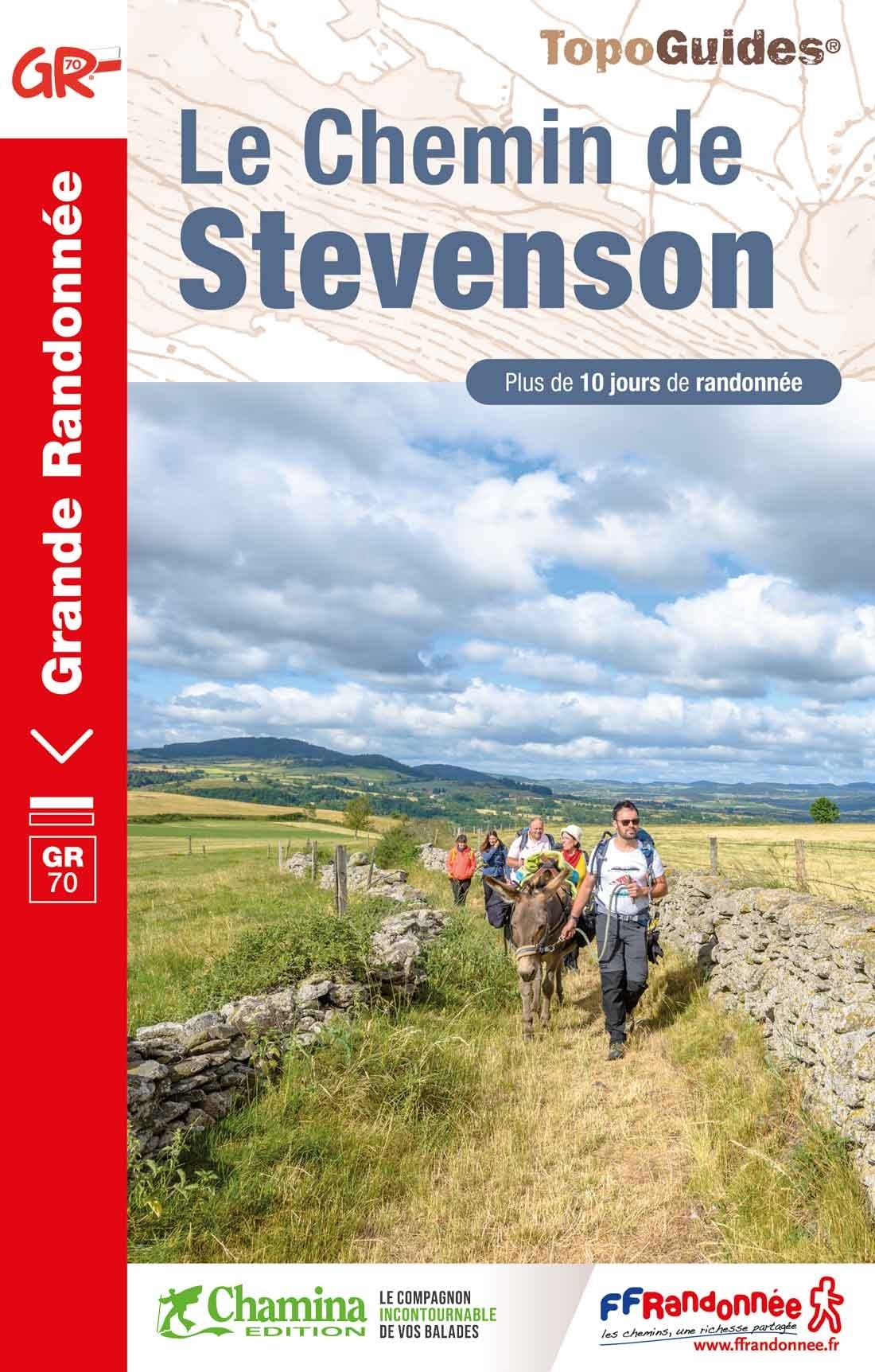
 Le Puy - Alès, 272 km, 14 days
The GR70 is the route Robert Louis Stevenson followed with his donkey Modestine in 1878 through the Cévennes. His book was and still is widely popular. It is possible to redo the hike of Stevenson these days, with his book in your hands and the GR guide in your pocket, maybe with one of the numerous offspring of Modestine as your beast of burden.
Select some tracks
☐Chemin de Stevenson - Part 9/2 - abandonnée, 7.8km
Map

Links
Facts
Reports
Guides and maps
Lodging
Organisations
Tour operators
GPS
Other
Books

The Book Depository
United Kingdom
2021
United Kingdom
2021
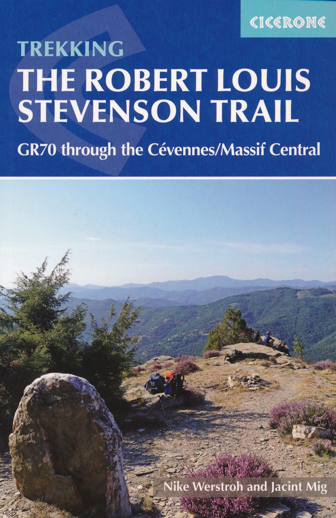
- Trekking the Robert Louis Stevenson Trail
- The GR70 through the Cevennes/Massif Central Read more
- Also available from:
- De Zwerver, Netherlands
De Zwerver
Netherlands
2021
Netherlands
2021
- Wandelgids GR 70: The Robert Louis Stevenson Trail van Le Puy tot St-Jean du Gard | Cicerone
- The GR70 through the Cevennes/Massif Central Read more
Bol.com
Netherlands
2007
Netherlands
2007
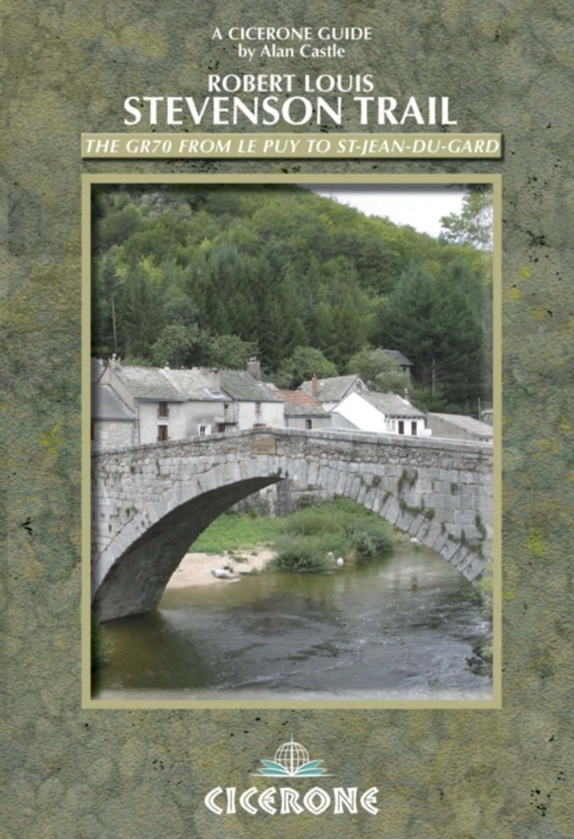
- The Robert Louis Stevenson Trail
- A guidebook for walking in the footsteps of Robert Louis Stevenson as he travelled through France's Velay and Cevennes regions, from Le Puy to St Jean de Gard, accompanied by his faithful donkey, Modestine. At 140km, this route is ideal for people new to walking holidays. Early one morning in the autumn of 1878 Stevenson set out from the sleepy... Read more
- Also available from:
- Bol.com, Belgium
Bol.com
Belgium
2007
Belgium
2007
- The Robert Louis Stevenson Trail
- A guidebook for walking in the footsteps of Robert Louis Stevenson as he travelled through France's Velay and Cevennes regions, from Le Puy to St Jean de Gard, accompanied by his faithful donkey, Modestine. At 140km, this route is ideal for people new to walking holidays. Early one morning in the autumn of 1878 Stevenson set out from the sleepy... Read more
De Zwerver
Netherlands
2017
Netherlands
2017
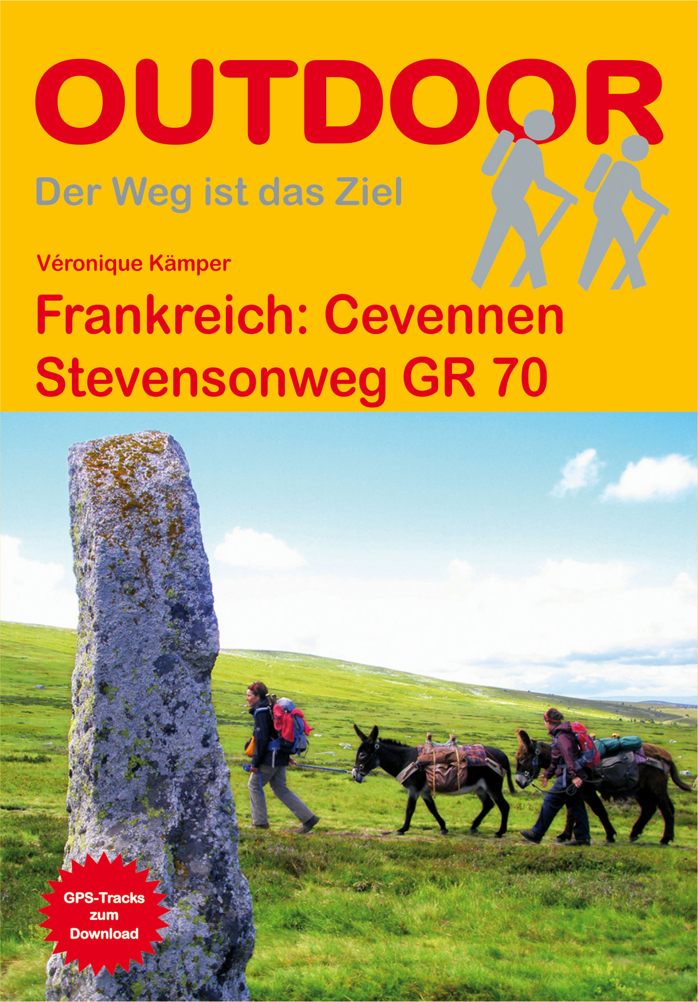
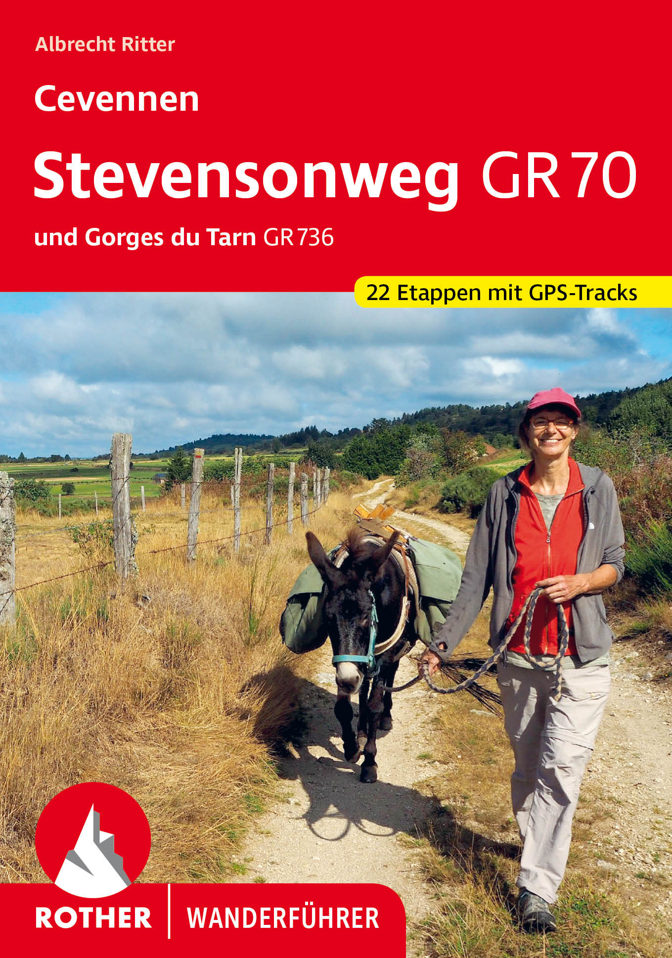
- Wandelgids Frankreich: Cevennen - Stevensonweg GR 70 | Conrad Stein Verlag
- Handzaam boekje met de routebeschrijving inclusief een heleboel praktische informatie. De beschrijving is uitstekend, maar kaarten zijn beperkt en schetsmatig aanwezig. Duits. Auf dem 220 km langen Stevensonweg folgt der Wanderer den Fußspuren des schottischen Schriftstellers Robert Louis Stevenson, der 1878 gemeinsam mit seiner Eselin... Read more
De Zwerver
Netherlands
2023
Netherlands
2023
More books…
Maps

Stanfords
United Kingdom
United Kingdom
- Saint-Hippolyte-du-Fort - Anduze - Saint-Jean-du-Gard IGN 2741ET
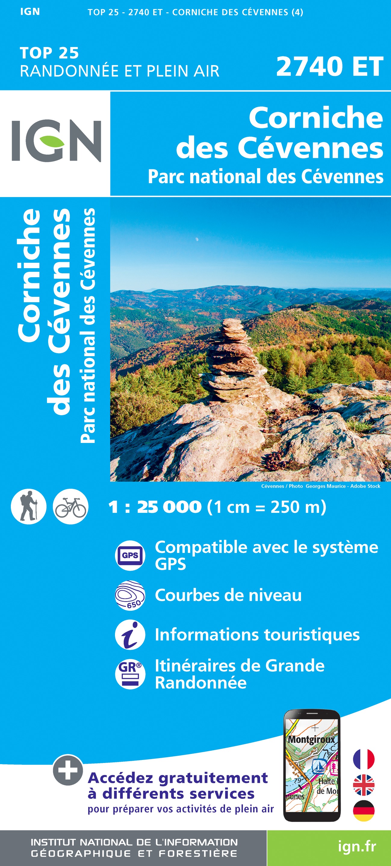
- Topographic survey of France at 1:25,000 in IGN`s excellent TOP25 / Série Bleue series. All the maps are GPS compatible, with a 1km UTM grid plus latitude and longitude lines at 5’ intervals. Contours are at 5m intervals except for mountainous areas where the maps have contours at 10m intervals, vividly enhanced by hill shading and graphics for... Read more
- Also available from:
- The Book Depository, United Kingdom
- De Zwerver, Netherlands

The Book Depository
United Kingdom
United Kingdom
- St-Hippolyte-du-Fort Anduze / St-Jean-du-Gard
- Topographic survey of France at 1:25,000 in IGN`s excellent TOP25 / Série Bleue series. All the maps are GPS compatible, with a 1km UTM grid plus latitude and longitude lines at 5’ intervals. Contours are at 5m intervals except for mountainous areas where the maps have contours at 10m intervals, vividly enhanced by hill shading and graphics for... Read more

De Zwerver
Netherlands
Netherlands
- Wandelkaart - Topografische kaart 2741ET Saint-Hippolyte-du-Fort | IGN - Institut Géographique National
- Topographic survey of France at 1:25,000 in IGN`s excellent TOP25 / Série Bleue series. All the maps are GPS compatible, with a 1km UTM grid plus latitude and longitude lines at 5’ intervals. Contours are at 5m intervals except for mountainous areas where the maps have contours at 10m intervals, vividly enhanced by hill shading and graphics for... Read more

Stanfords
United Kingdom
United Kingdom
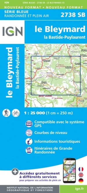
- le Bleymard - la Bastide-Puylaurent IGN 2738SB
- Topographic survey of France at 1:25,000 in IGN`s excellent TOP25 / Série Bleue series. All the maps are GPS compatible, with a 1km UTM grid plus latitude and longitude lines at 5’ intervals. Contours are at 5m intervals except for mountainous areas where the maps have contours at 10m intervals, vividly enhanced by hill shading and graphics for... Read more
- Also available from:
- The Book Depository, United Kingdom
- De Zwerver, Netherlands

De Zwerver
Netherlands
Netherlands

Stanfords
United Kingdom
United Kingdom
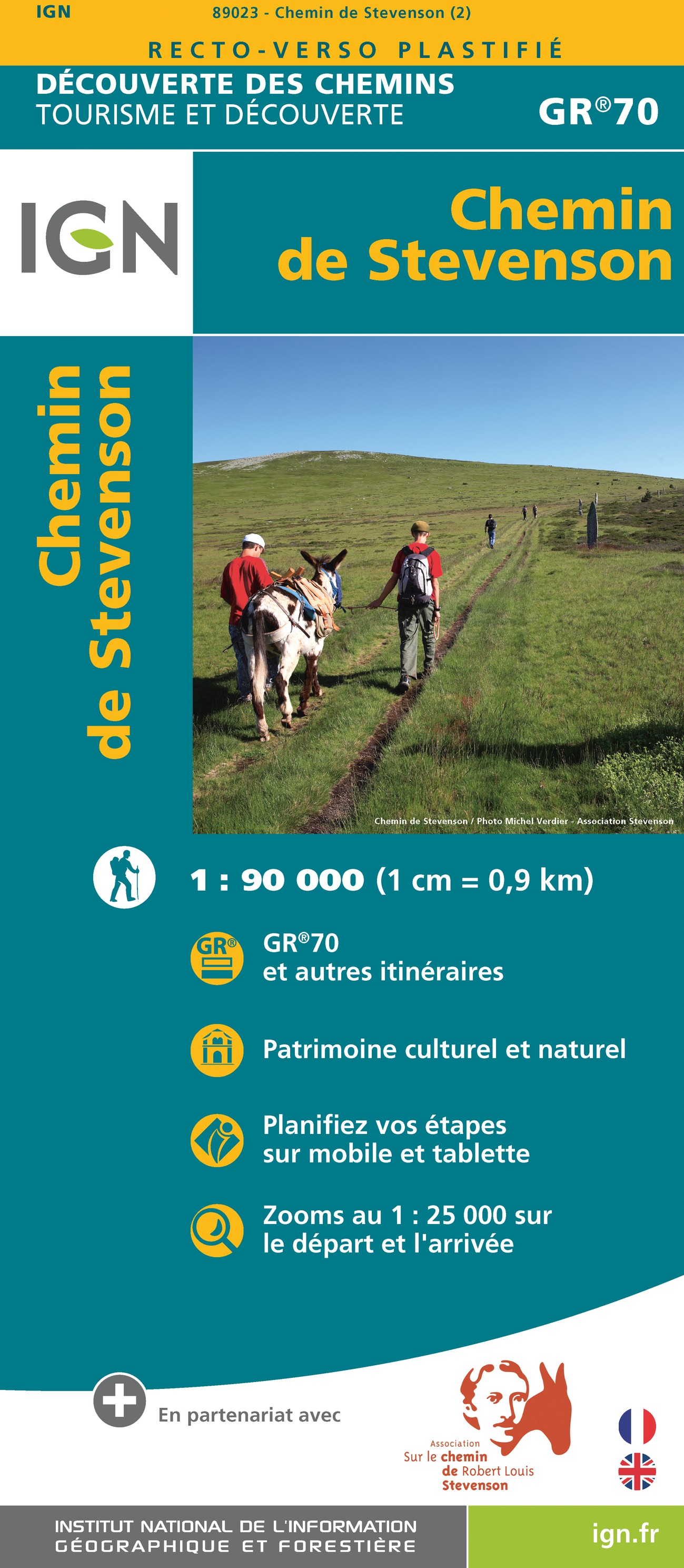
- The Stevenson Trail IGN 89023
- Robert Louis Stevenson’s and his donkey Modestine’s trail from the “Travels with a Donkey in the Cevennes”, now the GR70 long-distance hiking route, presented at 1:90,000 on a waterproof and tear-resistant map from IGN with cartography from their highly popular TOP100 series. Coverage starts in Le Puy-en-Velay along the GR3/GR43 and continues... Read more
- Also available from:
- The Book Depository, United Kingdom
- De Zwerver, Netherlands

The Book Depository
United Kingdom
United Kingdom
- Chemin de Stevenson GR70 2022
- Robert Louis Stevenson’s and his donkey Modestine’s trail from the “Travels with a Donkey in the Cevennes”, now the GR70 long-distance hiking route, presented at 1:90,000 on a waterproof and tear-resistant map from IGN with cartography from their highly popular TOP100 series. Coverage starts in Le Puy-en-Velay along the GR3/GR43 and continues... Read more
De Zwerver
Netherlands
Netherlands
- Wandelkaart GR 70 The Stevenson Trail | IGN - Institut Géographique National
- Robert Louis Stevenson’s and his donkey Modestine’s trail from the “Travels with a Donkey in the Cevennes”, now the GR70 long-distance hiking route, presented at 1:90,000 on a waterproof and tear-resistant map from IGN with cartography from their highly popular TOP100 series. Coverage starts in Le Puy-en-Velay along the GR3/GR43 and continues... Read more

Stanfords
United Kingdom
United Kingdom
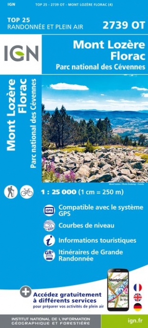
- Mont Lozere - Florac - PN des Cevennes IGN 2739OT
- Topographic survey of France at 1:25,000 in IGN`s excellent TOP25 / Série Bleue series. All the maps are GPS compatible, with a 1km UTM grid plus latitude and longitude lines at 5’ intervals. Contours are at 5m intervals except for mountainous areas where the maps have contours at 10m intervals, vividly enhanced by hill shading and graphics for... Read more
- Also available from:
- De Zwerver, Netherlands