GR97 - Tour du Luberon
Description
- Name GR97 - Tour du Luberon (GR97)
- Length of trail 350 km, 217 miles
- Length in days 18 days
- Start of trail Saint-Saturnin-lès-Apt
- End of trail Gargas
- Traildino grading MW, Moderate walk, backpacking trail
- Hut tour grading T1, Walk


97
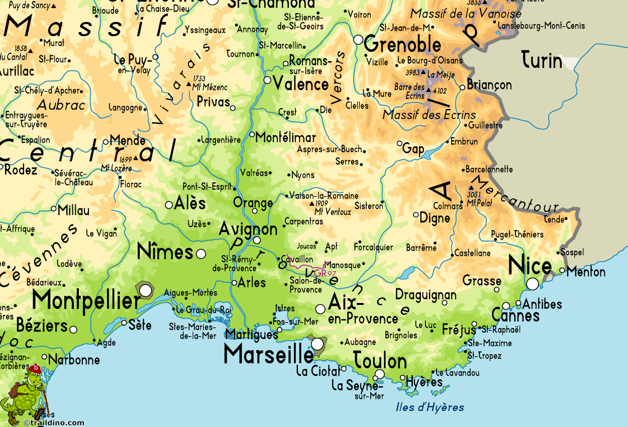
 Combining GR97 with some other trails - GR4, GR9, GR6, GR653 - allows you to go round Mont Luberon (1256 m) in the Provence. To enjoy the pretty countryside in full, set apart ten days. Drought and hard winds make the area vulnerable to forest fires, forcing authorities to close large areas and trails. It's best to plan your hike before july.


