
Cordillera Cantabrica
Description
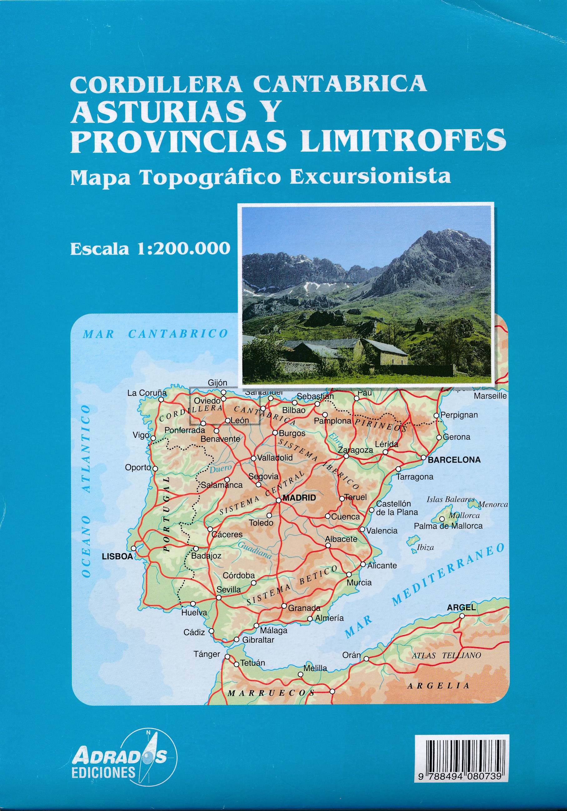
Mountain range in the North of Spain, between the western tip of the Pyrenees to the province of Galicia. Well known are the Picos de Europa. Here these mountains culminate to their highest elevation, Torre Cerredo, 2.650 m.
Trails in this region
Links
Facts
Reports
Guides and maps
Lodging
Organisations
Tour operators
GPS
Other
Books

Stanfords
United Kingdom
United Kingdom
- Walking The Camino: A Modern Pilgrimage To Santiago
- In May 2006, armed only with a small rucksack and a staff, Tony Kevin, an overweight, sedentary, 63- year-old former diplomat, set off on an eight-week trek across Spain. But this was not just a very long walk - it was a pilgrimage. From Granada, in the southeast, to Santiago de Compostela, in the far northwest, Tony followed the Via Mozarabe... Read more

Stanfords
United Kingdom
2017
United Kingdom
2017
- Chemins de St. Jacques: Toulouse - Jaca - Lourdes GR653/GR101/GR78
- The last stretch of the Toulouse route before reaching Spain and the Camino Frances.Chemins de St. Jacques: Toulouse - Jaca, FFRP topoguide Ref. No. 6534, covering one of the southern routes of the Way of St. James in France: from Toulouse along the GR 653, with variants through Pau or Tarbes, across Col du Somport to Jaca in the Spanish... Read more

Stanfords
United Kingdom
2017
United Kingdom
2017
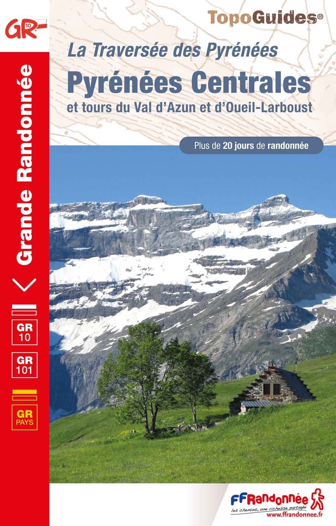
- Pyrenees Centrales et tours du Val d`Azun et d`Oueil-Larboust GR10/GR101
- Pyrénées Centrales, FFRP topoguide, Ref. No. 1091, covering the second section of the GR10 along the Pyrenees from the Atlantic to the Mediterranean – a 270-km long walk from Arrens-Marsous to Bagnères-de-Luchon. Different variants of the GR10 are covered, with or without including the highest part of the mountains at Gavarnie, plus a link to... Read more

Stanfords
United Kingdom
2015
United Kingdom
2015
- Spain`s Sendero Historico: The GR1: Northern Spain - Picos to the Mediterranean
- The Sendero Historico (the GR1) is a 1,250km long-distance path that takes you from Puerto de Tarna, on the border of Asturias and Castilla y León, east along the southern flank of the Cantabrian Mountains and the foothills of the Pyrenees before finishing on the Mediterranean coast near L`Escala.This walking guide splits the route that... Read more
- Also available from:
- The Book Depository, United Kingdom
- De Zwerver, Netherlands

The Book Depository
United Kingdom
2015
United Kingdom
2015
- Spain's Sendero Historico: The GR1
- Northern Spain - Picos to the Mediterranean Read more

De Zwerver
Netherlands
2015
Netherlands
2015
- Wandelgids Spain's Sendero Historico: the GR1 | Cicerone
- Guidebook to the 1250km of Spain's Sendero Historico (GR1), traversing northern Spain from Puerto de Tarna in the province of Leon in the west to the Mediterranean near L'Escala in Catalonia, through fascinating, varied landscapes and the foothills of the Pyrenees. Described in 53 stages, about 25km each in length, with detailed mapping. Read more

Stanfords
United Kingdom
2022
United Kingdom
2022
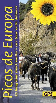
- Picos de Europa Guide: 25 long and short walks with detailed maps and GPS; car tour with pull-out map
- The go-to Picos de Europa travel guide for discovering the best walks and car tours. Strap on your boots and discover Picos de Europa on foot with the Sunflower Picos de Europa travel guide. And on the days when your feet may have had enough, enjoy some spectacular scenery on our recommended car tour. The Sunflower Picos de Europa guide is... Read more
- Also available from:
- The Book Depository, United Kingdom
- De Zwerver, Netherlands
The Book Depository
United Kingdom
2022
United Kingdom
2022
- Picos de Europa Guide: 25 long and short walks with detailed maps and GPS; car tour with pull-out map
- The go-to Picos de Europa travel guide for discovering the best walks and car tours. Strap on your boots and discover Picos de Europa on foot with the Sunflower Picos de Europa travel guide. And on the days when your feet may have had enough, enjoy some spectacular scenery on our recommended car tour. The Sunflower Picos de Europa guide is... Read more

De Zwerver
Netherlands
2022
Netherlands
2022
- Wandelgids Picos de Europa | Sunflower books
- The go-to Picos de Europa travel guide for discovering the best walks and car tours. Strap on your boots and discover Picos de Europa on foot with the Sunflower Picos de Europa travel guide. And on the days when your feet may have had enough, enjoy some spectacular scenery on our recommended car tour. The Sunflower Picos de Europa guide is... Read more
Stanfords
United Kingdom
United Kingdom
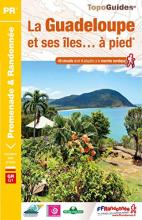
- La Guadeloupe et ses îles à pied
- La Guadeloupe et ses îles à pied, FFRP topo-guide Ref. No. D971, with 49 day walks of varying length and difficulty, plus coverage of the 65km-long GR1 across the mountains of the Basse Terre. The day walks include two on Marie-Galante, one on La Désirade, and two on Les Saintes islands. Each walk is presented on a separate colour extract from... Read more
- Also available from:
- The Book Depository, United Kingdom

The Book Depository
United Kingdom
United Kingdom
- Guadeloupe & ses iles a pied
- La Guadeloupe et ses îles à pied, FFRP topo-guide Ref. No. D971, with 49 day walks of varying length and difficulty, plus coverage of the 65km-long GR1 across the mountains of the Basse Terre. The day walks include two on Marie-Galante, one on La Désirade, and two on Les Saintes islands. Each walk is presented on a separate colour extract from... Read more


Stanfords
United Kingdom
2017
United Kingdom
2017
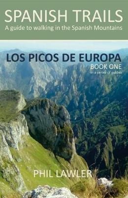
- Spanish Trails - A Guide to Walking the Spanish Mountains: Book one: Picos De Europa
- In this book Phil Lawler offers a wide selection of walks across the Picos de Europa in the majestic Cordillera Cantabrica, the Cantabrian Mountains, which run parallel with the Atlantic coastline in northern Spain. Phil has an intimate knowledge of this beautiful mountain range, as well as mountains in other parts of Spain. Many of the walks... Read more
- Also available from:
- The Book Depository, United Kingdom
- De Zwerver, Netherlands

The Book Depository
United Kingdom
2017
United Kingdom
2017
Bol.com
Netherlands
2003
Netherlands
2003
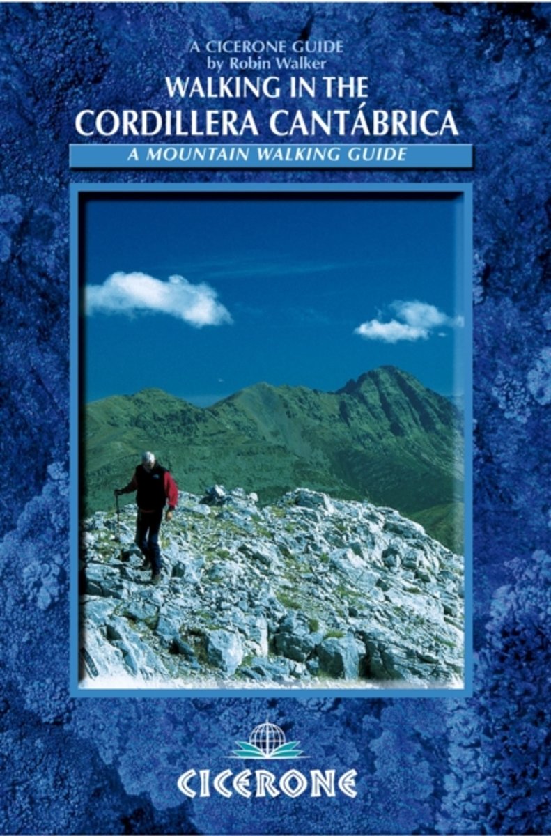
- Walking In The Cordillera Cantabrica
- A guide to walking in the Cordillera Cantabrica mountains in northern Spain - one of Spain's premier ranges - including detailed descriptions of 60 routes spread around the whole of this magnificent mountain chain. Based on selected valley bases, the routes are readily accessed, thus minimising travel time. All of the routes can be done in a... Read more
- Also available from:
- Bol.com, Belgium
Bol.com
Belgium
2003
Belgium
2003
- Walking In The Cordillera Cantabrica
- A guide to walking in the Cordillera Cantabrica mountains in northern Spain - one of Spain's premier ranges - including detailed descriptions of 60 routes spread around the whole of this magnificent mountain chain. Based on selected valley bases, the routes are readily accessed, thus minimising travel time. All of the routes can be done in a... Read more
Bol.com
Netherlands
2011
Netherlands
2011
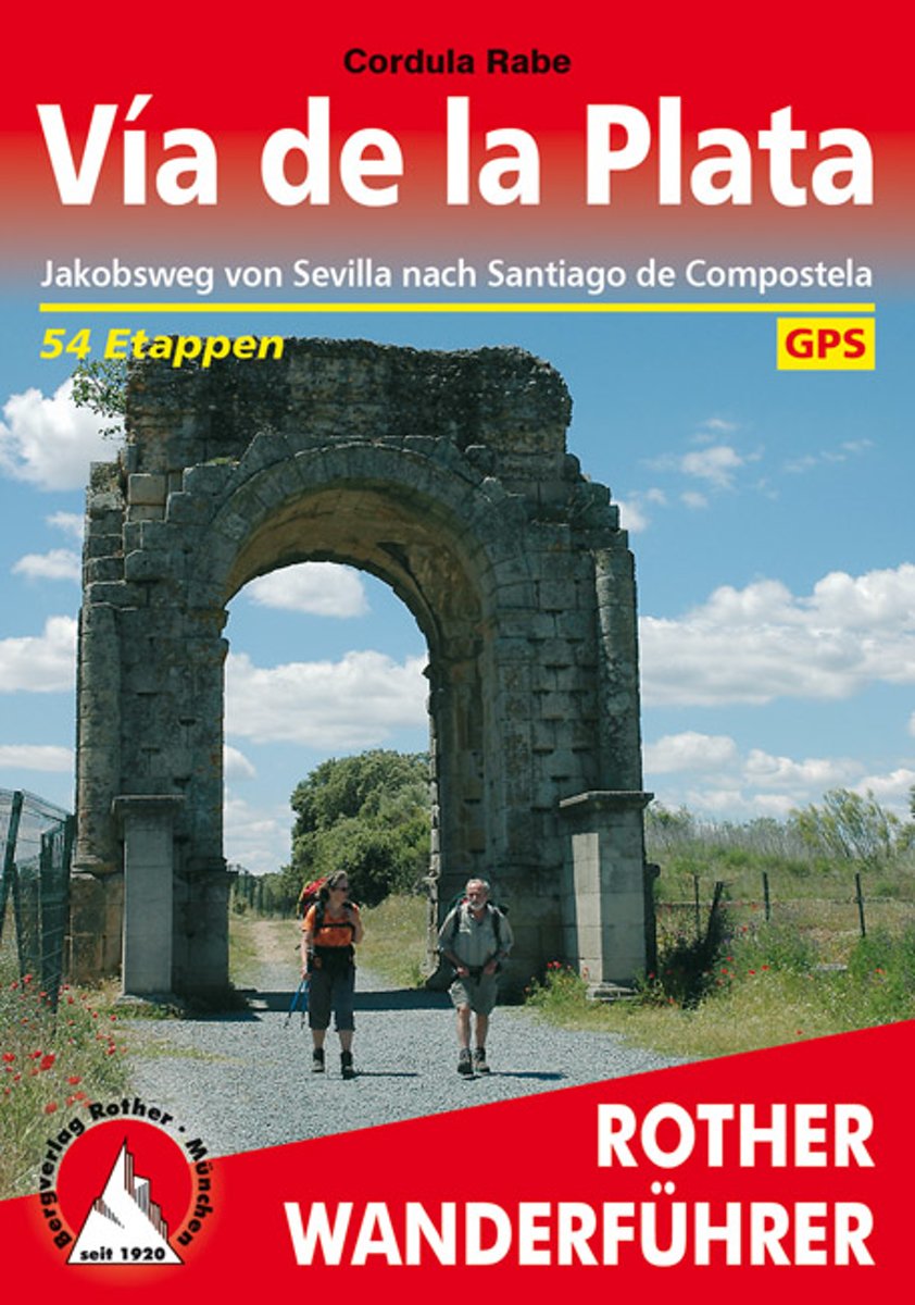
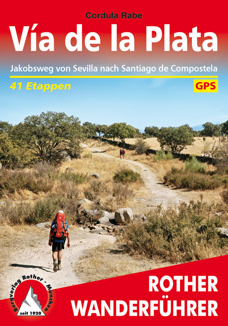
- Vía de la Plata
- Die von Sevilla nach Santiago de Compostela f hrende V a de la Plata erfreut sich einer stetig wachsenden Beliebtheit als Fernwanderroute. Freunde des ber hmten Camino franc s, des von den Pyren en nach Westen verlaufenden Jakobsweges, sch tzen die fast 1000 Kilometer lange S d-Nord-Strecke als noch wenig frequentierte, ruhigere Alternative.... Read more
- Also available from:
- Bol.com, Belgium
- De Zwerver, Netherlands
Bol.com
Belgium
2011
Belgium
2011
- Vía de la Plata
- Die von Sevilla nach Santiago de Compostela f hrende V a de la Plata erfreut sich einer stetig wachsenden Beliebtheit als Fernwanderroute. Freunde des ber hmten Camino franc s, des von den Pyren en nach Westen verlaufenden Jakobsweges, sch tzen die fast 1000 Kilometer lange S d-Nord-Strecke als noch wenig frequentierte, ruhigere Alternative.... Read more
De Zwerver
Netherlands
2020
Netherlands
2020
- Wandelgids 291 Rother Wandefuhrer Spanje Via de la Plata | Rother Bergverlag
- Uitstekende beschrijvingen van deze steeds populairder wordende pelgrimstocht! Met alle noodzakelijke info. Zie voor beschrijving de duitse tekst hieronder ..... Die von Sevilla nach Santiago de Compostela führende Vía de la Plata erfreut sich einer stetig wachsenden Beliebtheit als Fernwanderroute. Freunde des berühmten Camino francés, des von... Read more
Bol.com
Netherlands
Netherlands
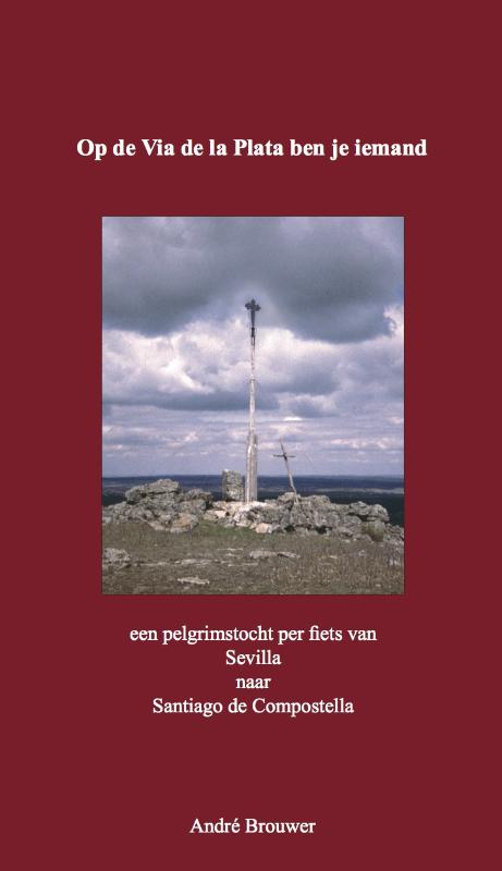
- A Camino for All
- Diary and afterthoughts from the Camino de Santiago: Seville to Santiago de CompostelaThe Via de la Plata and the Camino Sanabrés42 days, 1000 km(…) The feelings experienced while travelling the Via de la Plata and the Camino Sanabrés do not expire within these few shared lines: some feelings are inexpressible; some things remain with... Read more
- Also available from:
- Bol.com, Belgium
Bol.com
Belgium
Belgium
- A Camino for All
- Diary and afterthoughts from the Camino de Santiago: Seville to Santiago de CompostelaThe Via de la Plata and the Camino Sanabrés42 days, 1000 km(…) The feelings experienced while travelling the Via de la Plata and the Camino Sanabrés do not expire within these few shared lines: some feelings are inexpressible; some things remain with... Read more
Bol.com
Netherlands
Netherlands
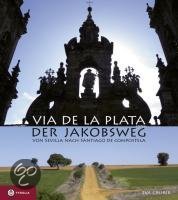
- Via de la Plata - der Jakobsweg
- Die Via de la Plata ist die zweite große Pilgerroute Spaniens - und die große Alternative zum Camino Francés. Der über 1000 Kilometer lange Weg durch Andalusien, die Extremadura, Kastilien und Galizien bis nach Santiago entfaltet die ganze landschaftliche und kulturelle Schönheit Spaniens und ermöglicht auch heute noch ursprüngliche... Read more
- Also available from:
- Bol.com, Belgium
Bol.com
Belgium
Belgium
- Via de la Plata - der Jakobsweg
- Die Via de la Plata ist die zweite große Pilgerroute Spaniens - und die große Alternative zum Camino Francés. Der über 1000 Kilometer lange Weg durch Andalusien, die Extremadura, Kastilien und Galizien bis nach Santiago entfaltet die ganze landschaftliche und kulturelle Schönheit Spaniens und ermöglicht auch heute noch ursprüngliche... Read more
Bol.com
Netherlands
Netherlands
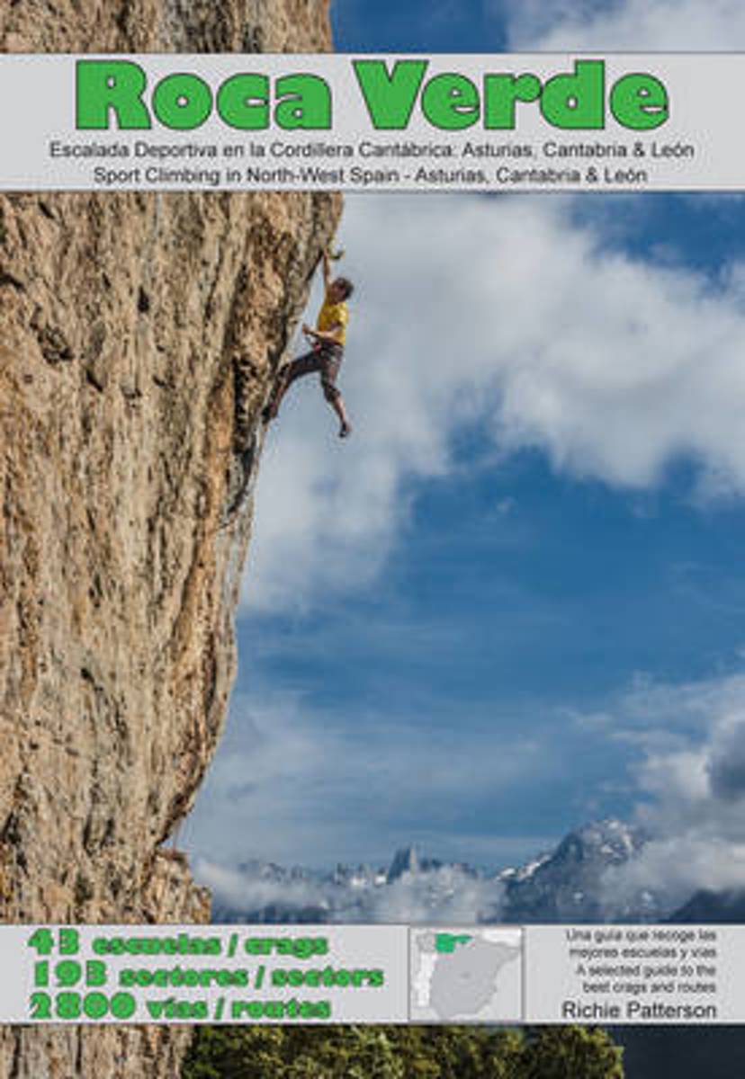
- Roca Verde
- Roca Verde is designed to publicise one of the best-kept secrets in European climbing; the fantastic sport climbing in and around the Cordillera Cantabrica mountain range in north-west Spain. Selected crags in Asturias, Cantabria and Leon, create a guide which incorporates the areas most utilised by the regions' climbers Read more
- Also available from:
- Bol.com, Belgium
Bol.com
Belgium
Belgium
- Roca Verde
- Roca Verde is designed to publicise one of the best-kept secrets in European climbing; the fantastic sport climbing in and around the Cordillera Cantabrica mountain range in north-west Spain. Selected crags in Asturias, Cantabria and Leon, create a guide which incorporates the areas most utilised by the regions' climbers Read more
More books…
Maps

Stanfords
United Kingdom
United Kingdom
- Alto Sil
- Alto Sil area in the Cordillera Cantabrica on the border of Asturias and León on a detailed, contoured, GPS compatible map at 1:50,000 from Calecha highlighting numerous waymarked hiking trails, various types of tourist accommodation, etc.Cartographic information is based on the Spanish military survey, with contour lines at 20m intervals, plus... Read more
De Zwerver
Netherlands
Netherlands
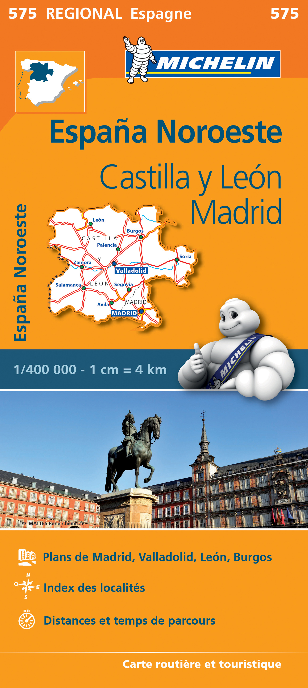
- Wegenkaart - landkaart 575 Castilla y León - Madrid - Valladolid - Zamora | Michelin
- Une carte fiable pour parcourir les régions d'Europe Read more

Stanfords
United Kingdom
United Kingdom
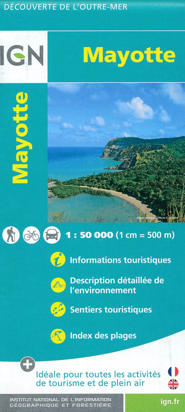
- Mayotte IGN Map 84976
- Mayotte at 1:50,000 on a contoured and GPS compatible map from the IGN, with plans of Mazoudzou and Dzaoudzi, plus an index of beaches. Topography is shown by contours at 20m intervals with relief shading and spot heights, plus colouring and/or graphics for different types of vegetation. In the surrounding waters coral reefs are prominently... Read more
- Also available from:
- De Zwerver, Netherlands
De Zwerver
Netherlands
Netherlands
- Fietskaart - Wandelkaart Mayotte | IGN - Institut Géographique National
- MayotteLes cartes routières et touristiques de l?Outre-mer vous permettent de découvrir ces destinations exotiques. Read more

Stanfords
United Kingdom
United Kingdom
- Caminos de Santiago / Ways of St. James on the Iberian Peninsula CNIG Overview Map
- All roads leading to Santiago de Compostela in the Iberian Peninsula are represented on this Caminos de Santiago / The Way of St. James Map. Routes highlighted on a physical map of the Iberian Peninsula at 1:1,250,000 from IGN/CNIG, Spain civilian topographic survey organization. The base map with altitude colouring and relief shading provides... Read more
- Also available from:
- De Zwerver, Netherlands

De Zwerver
Netherlands
Netherlands
- Pelgrimsroute (kaart) - Wandelkaart Camino de Santiago in Spanje | CNIG - Instituto Geográfico Nacional
- All roads leading to Santiago de Compostela in the Iberian Peninsula are represented on this Caminos de Santiago / The Way of St. James Map. Routes highlighted on a physical map of the Iberian Peninsula at 1:1,250,000 from IGN/CNIG, Spain civilian topographic survey organization. The base map with altitude colouring and relief shading provides... Read more