
Camino Portugués
Description
- Name Camino Portugués
- Length of trail 632 km, 393 miles
- Length in days 25 days
- Start of trail Lisboa
- End of trail Santiago de Compostela
- Traildino grading MW, Moderate walk, backpacking trail
- Hut tour grading T1, Walk


Camino Portugués, Lisboa - Santiago de Compostela, 632 km, 25 days
There is a trail between Lisboa and Santiago de Compostela, and it is marked. The downside is that it closely follows the road, even if you do not walk on the roads themselves. So, from the point of view of a good hike, there may be better Ways of St. James.
Visit Traildino's overview page for the Way of Saint James / Camino de Santiago.
Select some tracks
Links
Facts
Reports
Guides and maps
Lodging
Organisations
Tour operators
GPS
Other
Books

The Book Depository
United Kingdom
2018
United Kingdom
2018
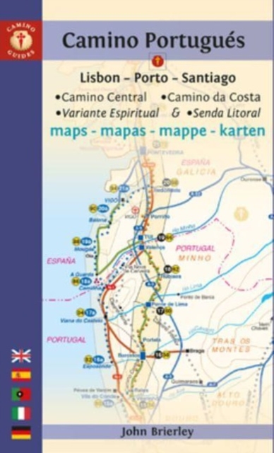
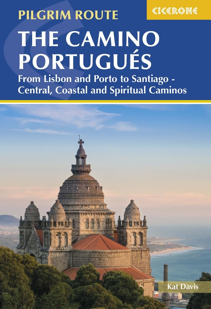
- The Camino Portugues
- From Lisbon and Porto to Santiago - Central, Coastal and Spiritual Caminos Read more

The Book Depository
United Kingdom
United Kingdom

The Book Depository
United Kingdom
United Kingdom
- Caminhando Com as Estrelas
- Vivendo entre histórias, lendas e um turbilhão de emoções no Caminho de Santiago. Read more
More books…
Maps

Stanfords
United Kingdom
United Kingdom
- Caminos de Santiago / Ways of St. James on the Iberian Peninsula CNIG Overview Map
- All roads leading to Santiago de Compostela in the Iberian Peninsula are represented on this Caminos de Santiago / The Way of St. James Map. Routes highlighted on a physical map of the Iberian Peninsula at 1:1,250,000 from IGN/CNIG, Spain civilian topographic survey organization. The base map with altitude colouring and relief shading provides... Read more
- Also available from:
- De Zwerver, Netherlands

De Zwerver
Netherlands
Netherlands
- Pelgrimsroute (kaart) - Wandelkaart Camino de Santiago in Spanje | CNIG - Instituto Geográfico Nacional
- All roads leading to Santiago de Compostela in the Iberian Peninsula are represented on this Caminos de Santiago / The Way of St. James Map. Routes highlighted on a physical map of the Iberian Peninsula at 1:1,250,000 from IGN/CNIG, Spain civilian topographic survey organization. The base map with altitude colouring and relief shading provides... Read more