
Arizona
Description
Exotic hiking in Arizona. The state has extensive arid deserts, but also high rugged mountains and deep canyons, like the popular Grand Canyon.
The clear sky and bright colors will enchant you, not only on the Grand Enchantment Trail (730 miles) itself, but also the 817 miles Arizona Trail, the General George Cook Trail, and the first (or last) part of the 3.100 mile long Great Western Trail.
More interesting even than the National Parks are the huge National Forests stretching across the centre from north to south, with thousands of miles of trails.
Arizona is great for walking!
Map

Trails in this state
Links
Facts
Reports
Guides and maps
Lodging
Organisations
Tour operators
GPS
Other
Books

Stanfords
United Kingdom
United Kingdom
- National Geographic Traveler: Arizona, Sixth Edition
- The National Geographic Traveler guidebooks are in tune with the growing trend toward experiential travel. Each book provides inspiring photography, insider tips, and expert advice for a more authentic, enriching experience of the destination. These books serve a readership of active, discerning travelers, and supply information, historical... Read more

Stanfords
United Kingdom
United Kingdom
- DK Eyewitness Southwest USA and National Parks
- The Southwest USA is a state of unmissable national parks, cities and sights.Whether you want to be awed by the spectacular sight of the Grand Canyon, learn about indigenous culture at Canyon de Chelly, or test your luck in glittering Las Vegas, your DK Eyewitness travel guide makes sure you experience all that Southwest USA has to... Read more

Stanfords
United Kingdom
United Kingdom
- Lake Mead National Recreation Area NV/AZ
- Map No. 204, Lake Mead National Recreation Area on the borderof Arizona and Nevada, at 1:166,800 in an extensive series of GPS compatible, contoured hiking maps of USA’s national and state parks or forests and other popular recreational areas. Cartography based on the national topographic survey, with additional tourist information.The maps,... Read more

Stanfords
United Kingdom
United Kingdom
- Paria Canyon - Kanab - Vermillion Cliffs NM - Grand Staircase-Escalante NM AZ/UT
- Map No. 859 covering at 1:75,000 the Paria Canyon - Kanab (Vermillion Cliffs National Monument & Grand Staircase-Escalante National Monument) area of northern Arizona and southern Utah. The title is part of an extensive series in the National Geographic’s Trails Illustrated imprint of GPS compatible, contoured hiking maps of USA’s national and... Read more


The Book Depository
United Kingdom
2022
United Kingdom
2022
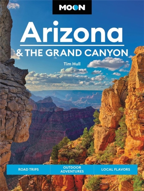
- Moon Arizona & the Grand Canyon (Sixteenth Edition)
- Road Trips, Outdoor Adventures, Local Flavors Read more
- Also available from:
- De Zwerver, Netherlands
De Zwerver
Netherlands
2022
Netherlands
2022
- Reisgids Arizona and the Grand Canyon | Moon Travel Guides
- Road Trips, Outdoor Adventures, Local Flavors Read more

The Book Depository
United Kingdom
2014
United Kingdom
2014
- America's Great Hiking Trails
- Appalachian, Pacific Crest, Continental Divide, North Country, Ice Age, Potomac Heritage, Florida, Natchez Trace, Arizona, Pacific Northwest, New England Read more

The Book Depository
United Kingdom
United Kingdom
- A Retiree's Guide to the Great Outoors in Arizona
- Living the dream with gusto! Read more


The Book Depository
United Kingdom
United Kingdom
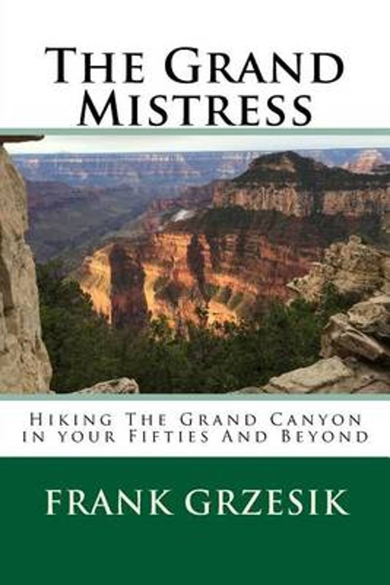
- The Grand Mistress
- Hiking The Grand Canyon in your Fifties And Beyond Read more
- Also available from:
- Bol.com, Netherlands
- Bol.com, Belgium
Bol.com
Netherlands
Netherlands
- The Grand Mistress
- For years I have loved the Grand Canyon. The intimacy the trails of the inner canyon provide can take one to an ethereal world. This love brought me focus and direction. It got my butt up at 4:30am. It drove me to hike in 110-degree weather in the dead of the Arizona summer. She became my obsession, my mistress. This book is for anyone who... Read more
Bol.com
Belgium
Belgium
- The Grand Mistress
- For years I have loved the Grand Canyon. The intimacy the trails of the inner canyon provide can take one to an ethereal world. This love brought me focus and direction. It got my butt up at 4:30am. It drove me to hike in 110-degree weather in the dead of the Arizona summer. She became my obsession, my mistress. This book is for anyone who... Read more
Bol.com
Netherlands
Netherlands
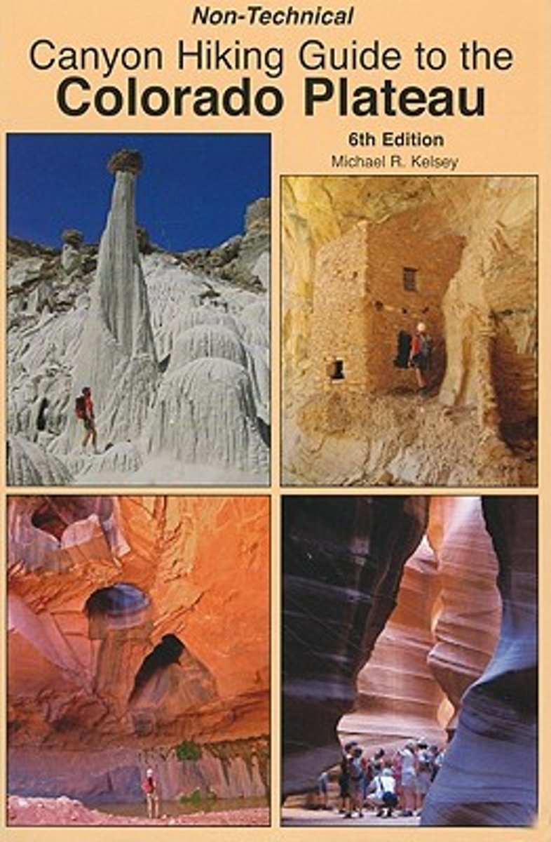
- Non-Technical Canyon Hiking Guide to the Colorado Plateau
- In addition to hike descriptions and maps this book includes some information about the Native Americans of the Colorado Plateau, geology cross-sections of the Colorado Plateau, and best hikes of the area. The hikes are for New Mexico, Colorado, Utah, and Arizona. Read more
- Also available from:
- Bol.com, Belgium
Bol.com
Belgium
Belgium
- Non-Technical Canyon Hiking Guide to the Colorado Plateau
- In addition to hike descriptions and maps this book includes some information about the Native Americans of the Colorado Plateau, geology cross-sections of the Colorado Plateau, and best hikes of the area. The hikes are for New Mexico, Colorado, Utah, and Arizona. Read more

Bol.com
Netherlands
Netherlands
- Best Hikes with Dogs Arizona
- CLICK HERE to download a free hike along ''Little Spring'' from Best Hikes with Dogs Arizona* Guidebook to 75 dog-suitable trails throughout the Arizona -- many accessible from urban areas* How to keep your dog safe, healthy, and hydrated in Arizona's arid climate* What to pack for your dog: the Ten Canine Essentials and the doggy first aid kit... Read more
- Also available from:
- Bol.com, Belgium
Bol.com
Belgium
Belgium
- Best Hikes with Dogs Arizona
- CLICK HERE to download a free hike along ''Little Spring'' from Best Hikes with Dogs Arizona* Guidebook to 75 dog-suitable trails throughout the Arizona -- many accessible from urban areas* How to keep your dog safe, healthy, and hydrated in Arizona's arid climate* What to pack for your dog: the Ten Canine Essentials and the doggy first aid kit... Read more
Maps

Stanfords
United Kingdom
United Kingdom
- Phoenix Borch
- Laminated waterproof, indexed plan of Phoenix at 1:105,000 from Borch, with maps of downtown Phoenix, downtown Scottsdale, Arizona, Heritage Square, and Sky Harbor international airport. The main map shows the road network and most streets, with main roads named; rail and bus lines and stops are clearly marked. Points of interest such as... Read more

Stanfords
United Kingdom
United Kingdom
- Arizona Recreational Atlas & Gazetteer
- Arizona Recreational Atlas & Gazetteer at 1:245,000 approx., with the Grand Canyon area at 1:100,000, in a series of large format paperback state atlases from DeLorme, with detailed, contoured, GPS compatible topographic mapping. Recreational information includes lists of campgrounds, wildlife viewing sites (listing both species and... Read more

Stanfords
United Kingdom
United Kingdom
- Las Vegas Borch
- Very clear, indexed tourist street plan of the city on durable, laminated paper, with additional maps of the surrounding area and the Grand Canyon. The main map includes the Strip, Interstate 15 to the west, Downtown, the international airport, and much of the Winchester district east of the Strip. Detail includes one-way streets, casinos,... Read more

Stanfords
United Kingdom
United Kingdom
- Arizona Benchmark Road & Recreation Atlas
- Arizona at 1:400,000 in a series of excellent, detailed, GPS compatible state atlases from Benchmark Maps with extensive information on diverse recreational opportunities and facilities, covering The Rockies and the western states of the United States. Each atlas consists of three main sections:*Landscape:* with detailed mapping at scales... Read more

Stanfords
United Kingdom
United Kingdom
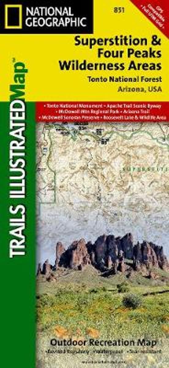
- Superstition & Four Peaks Wilderness Areas - Tonto National Forest AZ
- Map No. 851, Tonto National Forest: Superstition and Four Peaks Wilderness Areas, AZ, in an extensive series of GPS compatible, contoured hiking maps of USA’s national and state parks or forests and other popular recreational areas. Cartography based on the national topographic survey, with additional tourist information.The maps, with most... Read more
- Also available from:
- Bol.com, Netherlands
- Bol.com, Belgium
Bol.com
Netherlands
Netherlands
- Superstition & Four Peaks Wilderness Areas, Tonto National Forest
- Waterproof Tear-Resistant Topographic MapOne of the most-visited urban forests in the U.S., with approximately 5.8 million visitors annually, the Tonto National Forest spans almost 3 million acres of diverse terrain just outside of Phoenix, AZ. Tonto encompasses a wide variety of vegetation ranging from cactus-studded desert to... Read more
Bol.com
Belgium
Belgium
- Superstition & Four Peaks Wilderness Areas, Tonto National Forest
- Waterproof Tear-Resistant Topographic MapOne of the most-visited urban forests in the U.S., with approximately 5.8 million visitors annually, the Tonto National Forest spans almost 3 million acres of diverse terrain just outside of Phoenix, AZ. Tonto encompasses a wide variety of vegetation ranging from cactus-studded desert to... Read more
Bol.com
Netherlands
Netherlands
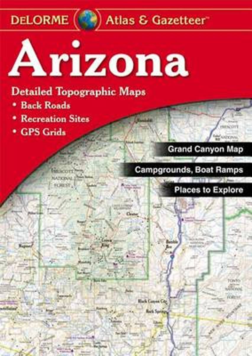
- Delorme Arizona Atlas & Gazetteer
- A uniquely useful resource, the Atlas & Gazetteer* Series is great for information on camping, hiking, fishing, hunting, bike and motorcycle touring, birdwatching, back road exploration, and more. A guide is available for all 50 American states. Read more
- Also available from:
- Bol.com, Belgium
Bol.com
Belgium
Belgium
- Delorme Arizona Atlas & Gazetteer
- A uniquely useful resource, the Atlas & Gazetteer* Series is great for information on camping, hiking, fishing, hunting, bike and motorcycle touring, birdwatching, back road exploration, and more. A guide is available for all 50 American states. Read more
Bol.com
Netherlands
Netherlands
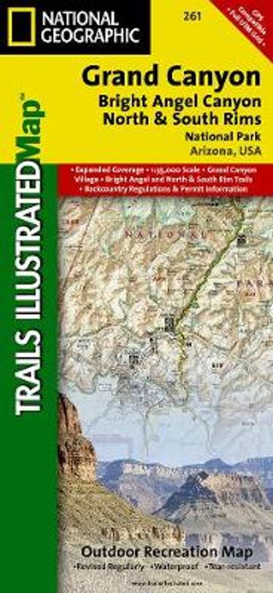
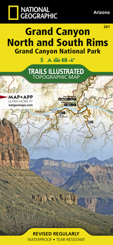
- Grand Canyon, Bright Angel Canyon/north & South Rims
- Waterproof Tear-Resistant Topographic MapExplore the uniquely inspiring and wondrous landscape of the Grand Canyon with National Geographic's Trails Illustrated map of Grand Canyon National Park, North and South Rims. Expertly researched and created in partnership with local land management agencies, this map is designed to meet the needs... Read more
- Also available from:
- Bol.com, Belgium
- De Zwerver, Netherlands
Bol.com
Belgium
Belgium
- Grand Canyon, Bright Angel Canyon/north & South Rims
- Waterproof Tear-Resistant Topographic MapExplore the uniquely inspiring and wondrous landscape of the Grand Canyon with National Geographic's Trails Illustrated map of Grand Canyon National Park, North and South Rims. Expertly researched and created in partnership with local land management agencies, this map is designed to meet the needs... Read more
De Zwerver
Netherlands
Netherlands
- Wandelkaart - Topografische kaart 261 Grand Canyon | National Geographic
- Prachtige geplastificeerde kaart van het bekende nationaal park. Met alle recreatieve voorzieningen als campsites, maar ook met topografische details en wandelroutes ed. Door uitgekiend kleurgebruik zeer prettig in gebruik. Scheur en watervast! Grand Canyon, Bright Angel Canyon/North & South Rims (#261) replaces the previous Grand Canyon... Read more


Stanfords
United Kingdom
United Kingdom
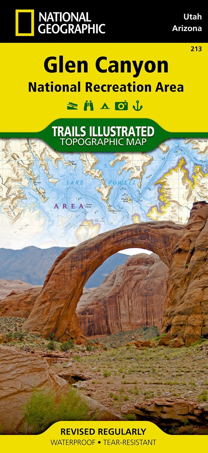
- Glen Canyon NRA - Capitol Reef NP UT/AZ
- Map No. 213, Glen Canyon National Recreation Area/Capitol Reef National Park, UT/AZ, in an extensive series of GPS compatible, contoured hiking maps of USA’s national and state parks or forests and other popular recreational areas. Cartography based on the national topographic survey, with additional tourist information.The maps, with most... Read more
- Also available from:
- De Zwerver, Netherlands
De Zwerver
Netherlands
Netherlands
- Wandelkaart - Topografische kaart 213 Glen Canyon National Recreation Area | National Geographic
- Prachtige geplastificeerde kaart van het nationaal park. Met alle recreatieve voorzieningen als campsites, maar ook met topografische details en wandelroutes ed. Door uitgekiend kleurgebruik zeer prettig in gebruik. Scheur en watervast! Our Glen Canyon NRA and Rainbow Bridge NM Trails Illustrated map provides detailed topographic coverage,... Read more

Bol.com
Netherlands
Netherlands
- Grand Canyon East
- Waterproof Tear-Resistant Topographic MapGrand Canyon East (#262) and Grand Canyon West (#263) combine to cover the entire Grand Canyon National Park and its bordering public lands. Both maps contain detailed and easy-to-read trail and road networks, locations of facilities, points of interest, and highly accurate terrain with thousands... Read more
- Also available from:
- Bol.com, Belgium
- De Zwerver, Netherlands
Bol.com
Belgium
Belgium
- Grand Canyon East
- Waterproof Tear-Resistant Topographic MapGrand Canyon East (#262) and Grand Canyon West (#263) combine to cover the entire Grand Canyon National Park and its bordering public lands. Both maps contain detailed and easy-to-read trail and road networks, locations of facilities, points of interest, and highly accurate terrain with thousands... Read more

De Zwerver
Netherlands
Netherlands
- Wandelkaart 262 Grand Canyon East - Oost | National Geographic
- Prachtige geplastificeerde kaart van het nationaal park. Met alle recreatieve voorzieningen als campsites, maar ook met topografische details en wandelroutes ed. Door uitgekiend kleurgebruik zeer prettig in gebruik. Scheur en watervast! Grand Canyon East (#262) and Grand Canyon West (#263) combine to cover the entire Grand Canyon National Park... Read more

- Also available from:
- Bol.com, Netherlands
- Bol.com, Belgium
- De Zwerver, Netherlands
Bol.com
Netherlands
Netherlands
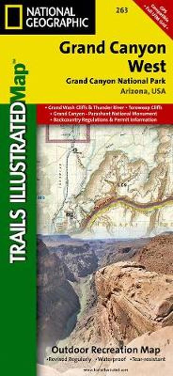
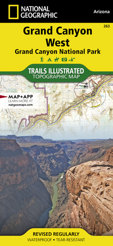
- Grand Canyon West
- Waterproof Tear-Resistant Topographic MapGrand Canyon West (#263) and Grand Canyon East (#262) combine to cover the entire Grand Canyon National Park and its bordering public lands. Both maps contain detailed and easy-to-read trail and road networks, locations of facilities, points of interest, and highly accurate terrain with thousands... Read more
Bol.com
Belgium
Belgium
- Grand Canyon West
- Waterproof Tear-Resistant Topographic MapGrand Canyon West (#263) and Grand Canyon East (#262) combine to cover the entire Grand Canyon National Park and its bordering public lands. Both maps contain detailed and easy-to-read trail and road networks, locations of facilities, points of interest, and highly accurate terrain with thousands... Read more
De Zwerver
Netherlands
Netherlands
- Wandelkaart - Topografische kaart 263 Grand Canyon West | National Geographic
- Prachtige geplastificeerde kaart van het nationaal park. Met alle recreatieve voorzieningen als campsites, maar ook met topografische details en wandelroutes ed. Door uitgekiend kleurgebruik zeer prettig in gebruik. Scheur en watervast! These Trail maps give outdoor enthusiasts & explorers the kind of details, accuracy, functionality, ease of... Read more

Stanfords
United Kingdom
United Kingdom
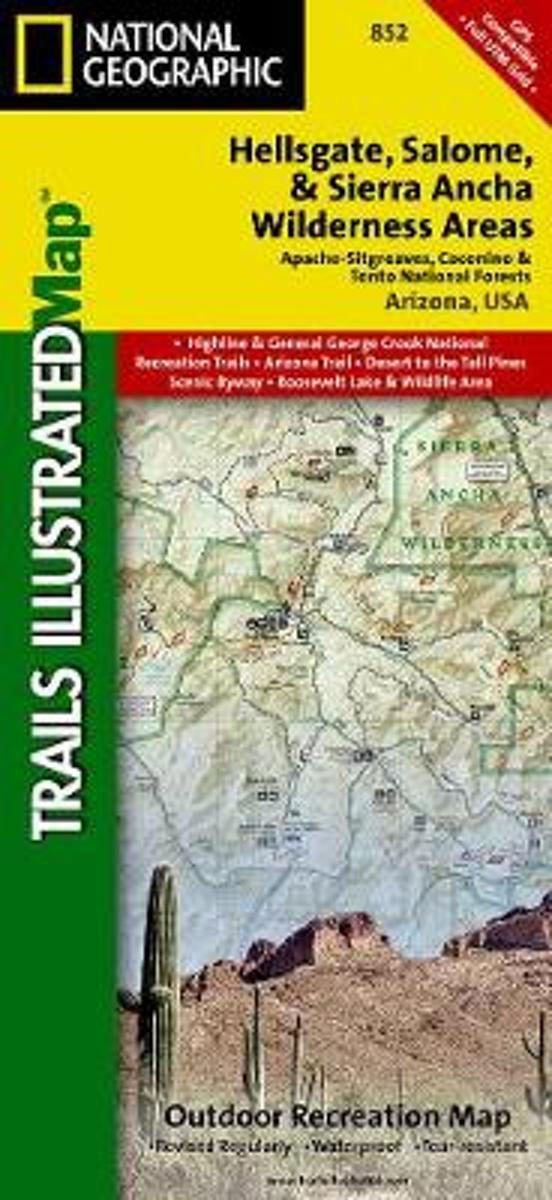
- Hellsgate - Salome & Sierra Ancha Wilderness Areas - Tonto National Forest AZ
- Map No. 852, Tonto National Forest: Hellsgate, Salome and Sierra Ancha Wilderness, AZ, in an extensive series of GPS compatible, contoured hiking maps of USA’s national and state parks or forests and other popular recreational areas. Cartography based on the national topographic survey, with additional tourist information.The maps, with most... Read more
- Also available from:
- Bol.com, Netherlands
- Bol.com, Belgium
Bol.com
Netherlands
Netherlands
- Hellsgate, Salome & Sierra Ancha Wilderness Areas, Apache-sitgreaves, Cocnino, & Tonto National Forests
- Waterproof Tear-Resistant Topographic MapOne of the most-visited urban forests in the U.S., with approximately 5.8 million visitors annually, the Tonto National Forest spans almost 3 million acres of diverse terrain just outside of Phoenix, AZ. Tonto encompasses a wide variety of vegetation ranging from cactus-studded desert to... Read more
Bol.com
Belgium
Belgium
- Hellsgate, Salome & Sierra Ancha Wilderness Areas, Apache-sitgreaves, Cocnino, & Tonto National Forests
- Waterproof Tear-Resistant Topographic MapOne of the most-visited urban forests in the U.S., with approximately 5.8 million visitors annually, the Tonto National Forest spans almost 3 million acres of diverse terrain just outside of Phoenix, AZ. Tonto encompasses a wide variety of vegetation ranging from cactus-studded desert to... Read more

Stanfords
United Kingdom
United Kingdom
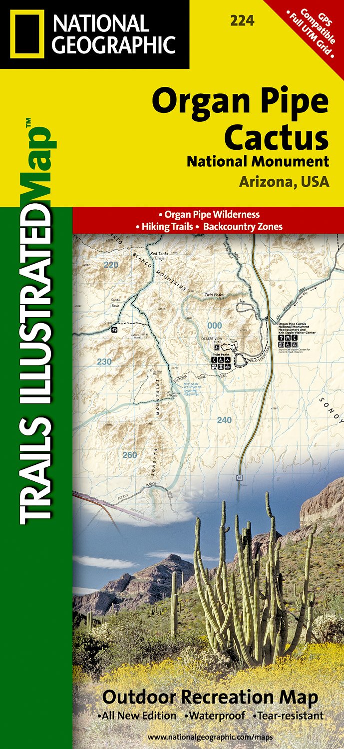
- Organ Pipe Cactus National Monument AZ
- Map No. 224, Organ Pipe Cactus National Monument, AZ, in an extensive series of GPS compatible, contoured hiking maps of USA’s national and state parks or forests and other popular recreational areas. Cartography based on the national topographic survey, with additional tourist information.The maps, with most titles now printed on light,... Read more
- Also available from:
- De Zwerver, Netherlands
De Zwerver
Netherlands
Netherlands
- Wandelkaart - Topografische kaart 224 Organ Pipe Cactus National Monument | National Geographic
- Prachtige geplastificeerde kaart van het nationaal park. Met alle recreatieve voorzieningen als campsites, maar ook met topografische details en wandelroutes ed. Door uitgekiend kleurgebruik zeer prettig in gebruik. Scheur en watervast! This Trails Illustrated topographic map for Organ Pipe Cactus National Monument, straddling southern Arizona,... Read more

Stanfords
United Kingdom
United Kingdom
- Bryce Canyon National Park UT NGS Trails Illustrated Map 219
- Map No. 219, Bryce Canyon National Park, UT, in an extensive series of GPS compatible, contoured hiking maps of USA’s national and state parks or forests and other popular recreational areas. Cartography based on the national topographic survey, with additional tourist information.The maps, with most titles now printed on light, waterproof and... Read more
- Also available from:
- The Book Depository, United Kingdom
- Bol.com, Netherlands
- Bol.com, Belgium
- De Zwerver, Netherlands

The Book Depository
United Kingdom
United Kingdom
- Bryce Canyon National Park
- Trails Illustrated National Parks Read more

Bol.com
Netherlands
Netherlands
- Bryce Canyon National Park
- Waterproof Tear-Resistant Topographic MapNational Geographic's Trails Illustrated map of Bryce Canyon National Park is designed to meet the needs of outdoor enthusiasts by combining valuable information with unmatched detail of this unique landscape of hoodoos and forest. Created in partnership with local land management agencies, this... Read more
Bol.com
Belgium
Belgium
- Bryce Canyon National Park
- Waterproof Tear-Resistant Topographic MapNational Geographic's Trails Illustrated map of Bryce Canyon National Park is designed to meet the needs of outdoor enthusiasts by combining valuable information with unmatched detail of this unique landscape of hoodoos and forest. Created in partnership with local land management agencies, this... Read more

De Zwerver
Netherlands
Netherlands
- Wandelkaart - Topografische kaart 219 Bryce Canyon National Park | National Geographic
- Prachtige geplastificeerde kaart van het bekende nationaal park. Met alle recreatieve voorzieningen als campsites, maar ook met topografische details en wandelroutes ed. Door uitgekiend kleurgebruik zeer prettig in gebruik. Scheur en watervast! This informative Trails Illustrated map will help you plan trips and explore the area in and around... Read more