Idaho
Description
Mountainous Idaho in the northeast of the States hosts 325 miles of the Continental Divide Trail, parts of the Great Western Trail and parts of the Pacific Northwest Trail.
All these trails are of great length. But if this is not enough, you can venture on the 1200 miles pure Idaho Centennial Trail, running north-south along the crests of the Rocky Mountains with its many lakes.
Targhee National Forest borders on Yellowstone National Park (Wyoming). There is very good walking in Nez Perce National Forest, Idaho Panhandle National Forest, Sawtooth National Forest, Challis National Forest, Payette National Forest, Targhee National Forest, Salmon National Forest and others.
Map

Trails in this state
Links
Facts
Reports
Guides and maps
Lodging
Organisations
Tour operators
GPS
Other
Books


The Book Depository
United Kingdom
United Kingdom
- Idaho Day Hikes
- A Folding Guide to Easy & Accessible Trails Read more

The Book Depository
United Kingdom
United Kingdom
- Best Rail Trails Pacific Northwest
- More Than 60 Rail Trails in Washington, Oregon, and Idaho Read more
Bol.com
Netherlands
Netherlands
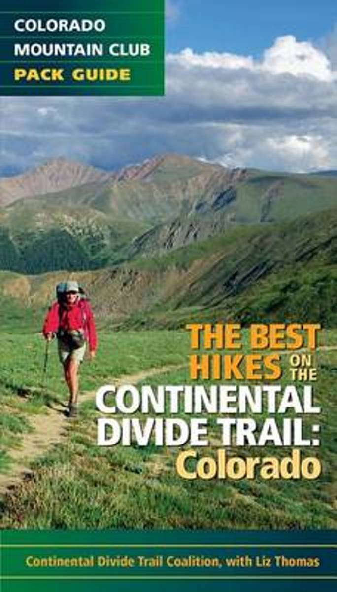
- The Best Hikes on the Continental Divide Trail
- Features 20 of the best hikes along the iconic Continental Divide Trail. Hike some of the more popular and accessible sections of the trail near Denver and Summit County, then venture out on an overnight trek across some of the most remote areas of the state. The Continental Divide Trail runs approximately 800 miles through Colorado, taking... Read more
- Also available from:
- Bol.com, Belgium
Bol.com
Belgium
Belgium
- The Best Hikes on the Continental Divide Trail
- Features 20 of the best hikes along the iconic Continental Divide Trail. Hike some of the more popular and accessible sections of the trail near Denver and Summit County, then venture out on an overnight trek across some of the most remote areas of the state. The Continental Divide Trail runs approximately 800 miles through Colorado, taking... Read more

Bol.com
Netherlands
Netherlands
- Wildflowers of the Mountain West
- <div>Many recreational hikers have stopped along the trail to admire a wildflower only to wonder what, exactly, they are looking at.<i>Wildflowers of the Mountain West </i>is a useful field guide that makes flower identification easy for the general outdoor enthusiast.<br><br>Many available plant guides are too... Read more
- Also available from:
- Bol.com, Belgium
Bol.com
Belgium
Belgium
- Wildflowers of the Mountain West
- <div>Many recreational hikers have stopped along the trail to admire a wildflower only to wonder what, exactly, they are looking at.<i>Wildflowers of the Mountain West </i>is a useful field guide that makes flower identification easy for the general outdoor enthusiast.<br><br>Many available plant guides are too... Read more

Bol.com
Netherlands
Netherlands
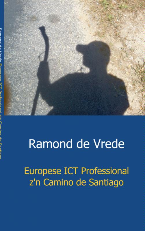
- Europese ICT Professional z'n Camino de Santiago
- Ramond de Vrede vertrekt 6 juli 2011 vanuit Maastricht met de trein naar Saint-Jean-Pied-de-Port in Frankrijk. 7 juli 2011 gaat hij dan zijn grootste wandeling ooit maken. Ongeveer 800 kilometer van Saint-Jean-Pied-de-Port naar Santiago de Compostella. Pelgrimeren. Het tot jezelf komen. Inzicht krijgen wat je wilt in het leven en ook vooral wat... Read more
- Also available from:
- Bol.com, Belgium
- De Zwerver, Netherlands
Bol.com
Belgium
Belgium
- Europese ICT Professional z'n Camino de Santiago
- Ramond de Vrede vertrekt 6 juli 2011 vanuit Maastricht met de trein naar Saint-Jean-Pied-de-Port in Frankrijk. 7 juli 2011 gaat hij dan zijn grootste wandeling ooit maken. Ongeveer 800 kilometer van Saint-Jean-Pied-de-Port naar Santiago de Compostella. Pelgrimeren. Het tot jezelf komen. Inzicht krijgen wat je wilt in het leven en ook vooral wat... Read more
De Zwerver
Netherlands
Netherlands
- Reisverhaal Europese ICT Professional z'n Camino de Santiago | R.R.J. de Vrede
- Ramond de Vrede vertrekt 6 juli 2011 vanuit Maastricht met de trein naar Saint-Jean-Pied-de-Port in Frankrijk. 7 juli 2011 gaat hij dan zijn grootste wandeling ooit maken. Ongeveer 800 kilometer van Saint-Jean-Pied-de-Port naar Santiago de Compostella. Pelgrimeren. Het tot jezelf komen. Inzicht krijgen wat je wilt in het leven en ook vooral wat... Read more
Bol.com
Netherlands
Netherlands
- Driving the Great Western Trail in Arizona
- This third edition of ''Driving the Great Western Trail in Arizona,'' contains four new trails. In addition, two of the original trails have been modified. Would you like to camp on an Indian Reservation or in an unspoiled forest or star-lit desert accompanied by the sounds of native wildlife?Would you like to show your children where the deer... Read more
- Also available from:
- Bol.com, Belgium
Bol.com
Belgium
Belgium
- Driving the Great Western Trail in Arizona
- This third edition of ''Driving the Great Western Trail in Arizona,'' contains four new trails. In addition, two of the original trails have been modified. Would you like to camp on an Indian Reservation or in an unspoiled forest or star-lit desert accompanied by the sounds of native wildlife?Would you like to show your children where the deer... Read more
Bol.com
Netherlands
Netherlands
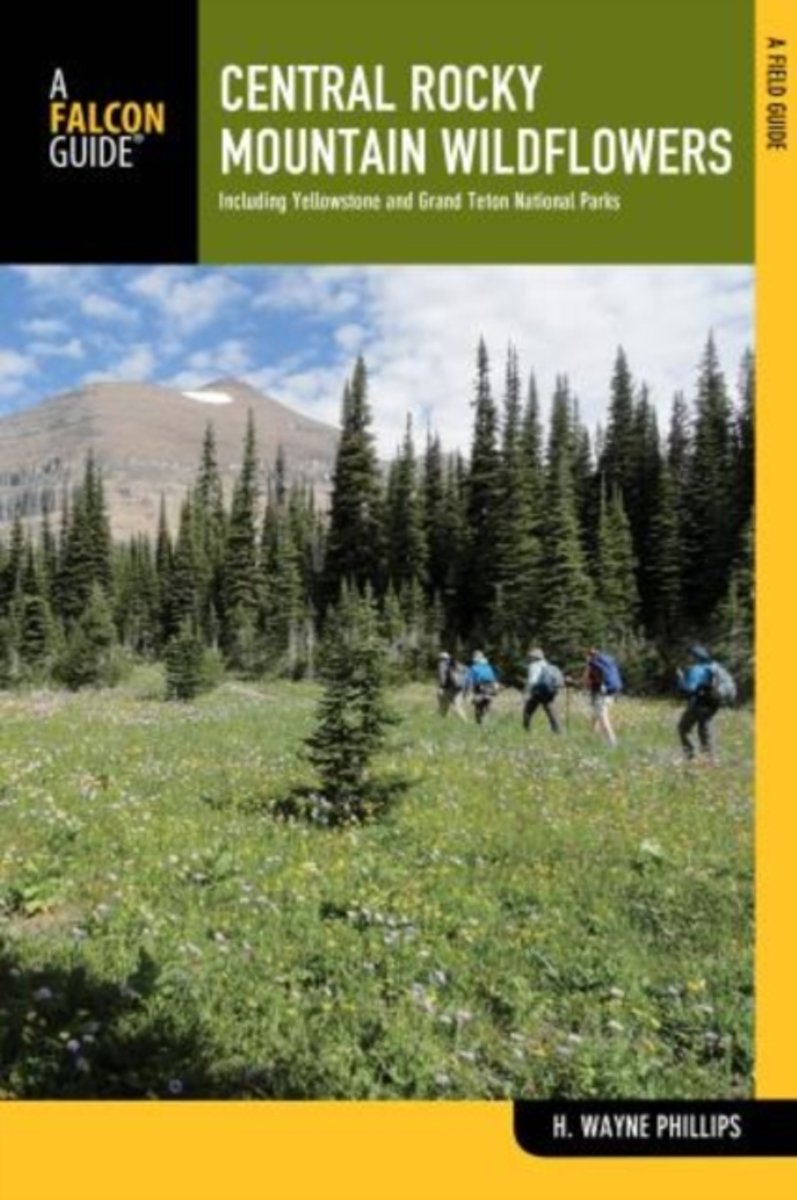
- Central Rocky Mountain Wildflowers
- Fully revised and updated, Central Rocky Mountain Widflowers features plants from the Yellowstone Ecosystem of Montana, Wyoming, and Idaho, north to the Rocky Mountain Front and west through Central Idaho to the Blue Mountains of Oregon and Washington. With detailed descriptions of over 260 wildflowers, arranged by color and family for easy... Read more
- Also available from:
- Bol.com, Belgium
Bol.com
Belgium
Belgium
- Central Rocky Mountain Wildflowers
- Fully revised and updated, Central Rocky Mountain Widflowers features plants from the Yellowstone Ecosystem of Montana, Wyoming, and Idaho, north to the Rocky Mountain Front and west through Central Idaho to the Blue Mountains of Oregon and Washington. With detailed descriptions of over 260 wildflowers, arranged by color and family for easy... Read more
Bol.com
Netherlands
Netherlands
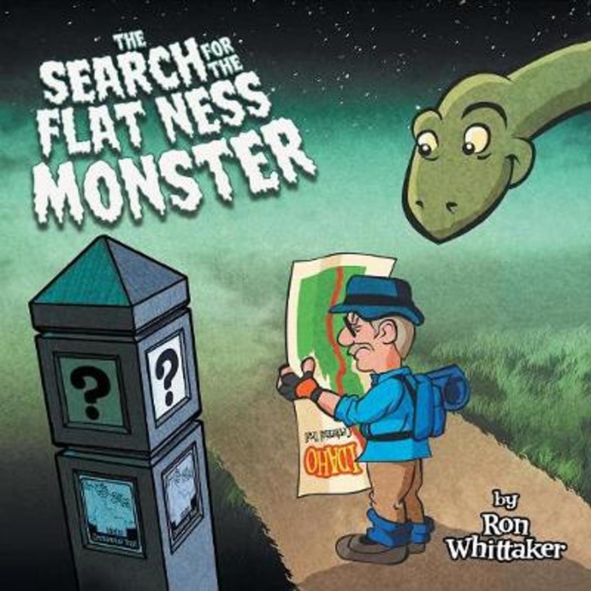
- The Search for the Flat Ness Monster
- When he first began the ICT, Ron envisioned that it would take from five to ten years to complete the trail. He had the feeling that when he signed up for his first ICT hike that he was about to step into the company of some elite hikers. It was very humbling for him to struggle along for thirteen miles that day, always the last one down the... Read more
- Also available from:
- Bol.com, Belgium
Bol.com
Belgium
Belgium
- The Search for the Flat Ness Monster
- When he first began the ICT, Ron envisioned that it would take from five to ten years to complete the trail. He had the feeling that when he signed up for his first ICT hike that he was about to step into the company of some elite hikers. It was very humbling for him to struggle along for thirteen miles that day, always the last one down the... Read more

Stanfords
United Kingdom
United Kingdom
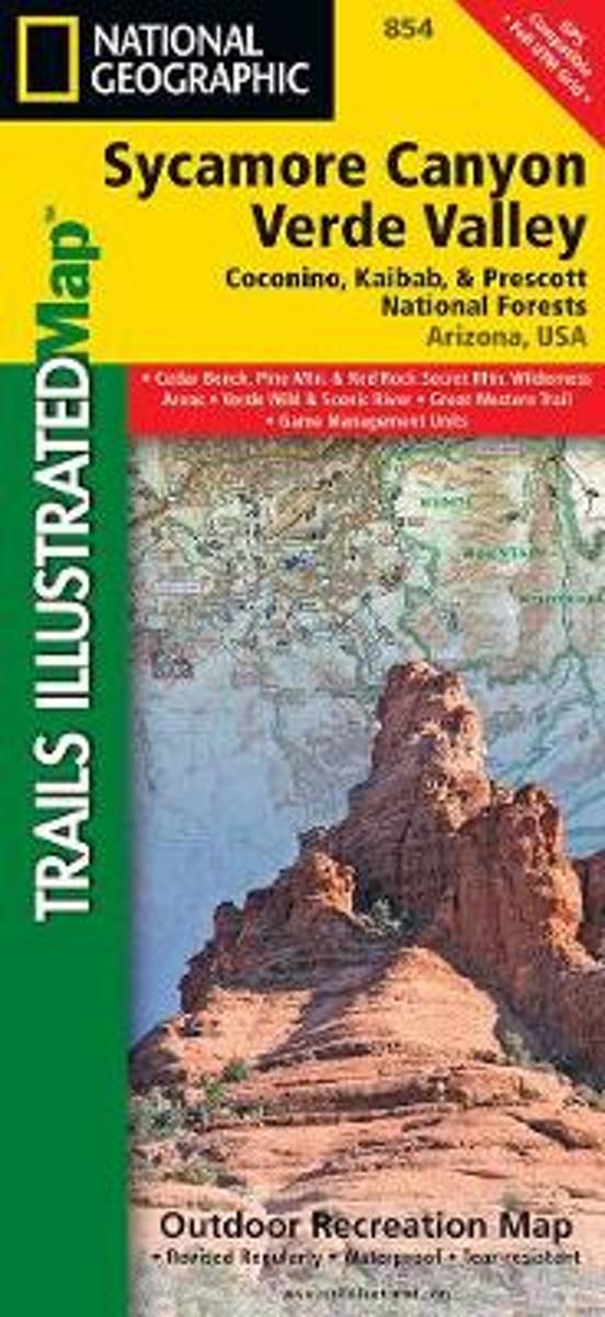
- Sycamore Canyon - Verde Valley - Coconino, Kaibab and Prescott National Forests AZ
- Map No. 854, Coconino National Forest: Sycamore Canyon and Verde Valley Wilderness Areas, AZ, in an extensive series of GPS compatible, contoured hiking maps of USA’s national and state parks or forests and other popular recreational areas. Cartography based on the national topographic survey, with additional tourist information.The maps, with... Read more
- Also available from:
- Bol.com, Netherlands
- Bol.com, Belgium
Bol.com
Netherlands
Netherlands
- Sycamore Canyon & Verde Valley Wildnerness Areas, Coconino, Kaibab, & Prescott National Forests
- Waterproof Tear-Resistant Topographic MapNational Geographic's Sycamore Canyon / Verde Valley Trails Illustrated topographic map is the most comprehensive available for outdoor enthusiasts of all types. Designed to be easy-to-read, yet highly detailed this map includes a comprehensive road and trail network distinguishing between major,... Read more
Bol.com
Belgium
Belgium
- Sycamore Canyon & Verde Valley Wildnerness Areas, Coconino, Kaibab, & Prescott National Forests
- Waterproof Tear-Resistant Topographic MapNational Geographic's Sycamore Canyon / Verde Valley Trails Illustrated topographic map is the most comprehensive available for outdoor enthusiasts of all types. Designed to be easy-to-read, yet highly detailed this map includes a comprehensive road and trail network distinguishing between major,... Read more
Bol.com
Netherlands
Netherlands
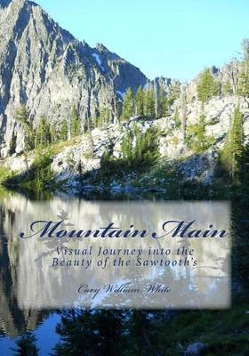
- Mountain Main
- For the last five summers I have taken at least one, sometimes two excursions into the deep wild of the Sawtooth Wilderness Area, located South of Stanley, Idaho. In July of 2012, my hiking partner and I managed to have our most breath-taking, unforgettable journey of our lives. In this little book, which celebrates this auspicious and... Read more
- Also available from:
- Bol.com, Belgium
Bol.com
Belgium
Belgium
- Mountain Main
- For the last five summers I have taken at least one, sometimes two excursions into the deep wild of the Sawtooth Wilderness Area, located South of Stanley, Idaho. In July of 2012, my hiking partner and I managed to have our most breath-taking, unforgettable journey of our lives. In this little book, which celebrates this auspicious and... Read more
Bol.com
Netherlands
Netherlands
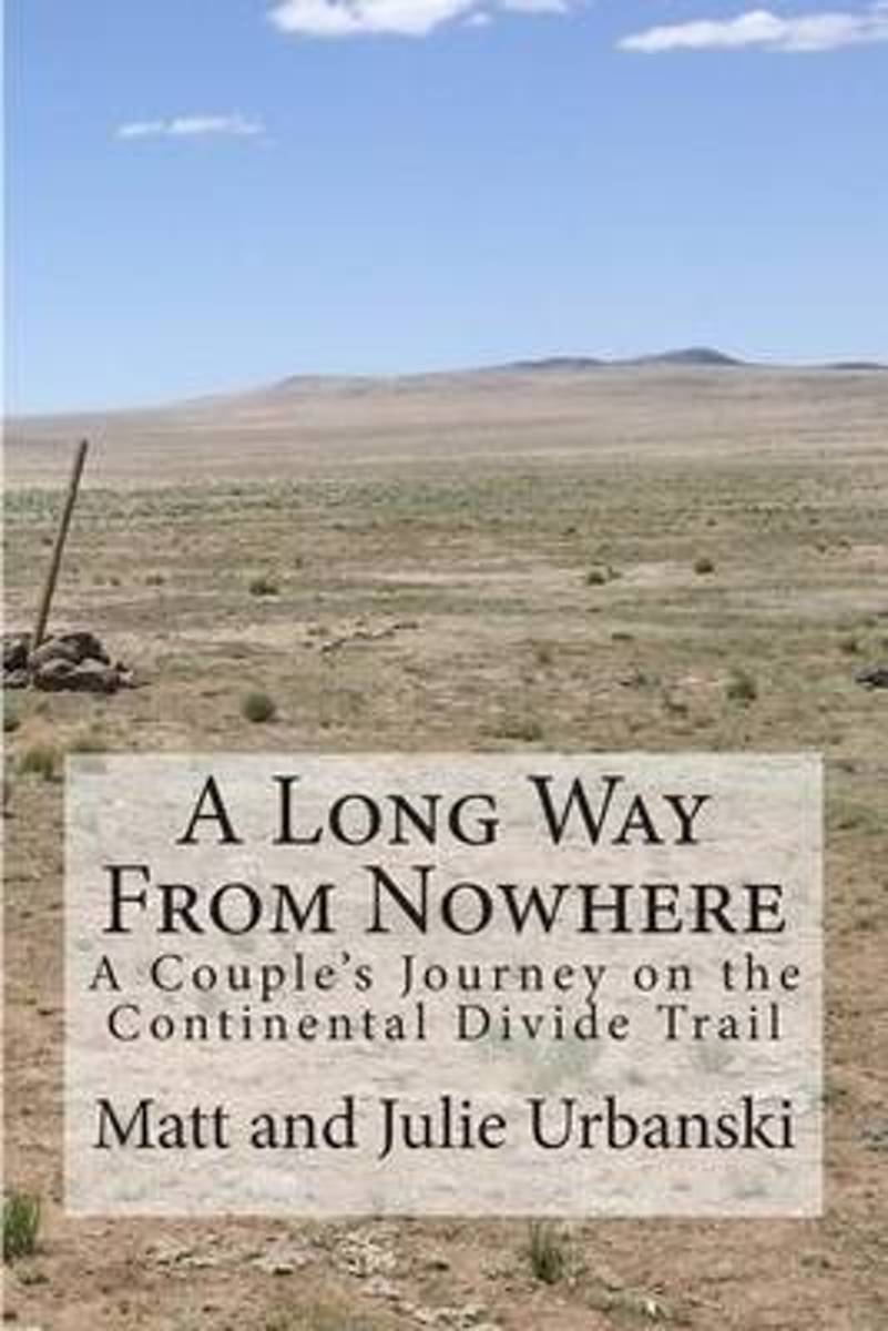
- A Long Way from Nowhere
- What is it like to hike the length of the Continental Divide Trail? For Matt and Julie, also known as Optimist and Stopwatch, life on the trail meant twenty-seven days without seeing another hiker, six bears encountered within fifteen hours, two sets of maps, a GPS, and a compass to find the trail, and both wildfires and massive flooding to add... Read more
- Also available from:
- Bol.com, Belgium
Bol.com
Belgium
Belgium
- A Long Way from Nowhere
- What is it like to hike the length of the Continental Divide Trail? For Matt and Julie, also known as Optimist and Stopwatch, life on the trail meant twenty-seven days without seeing another hiker, six bears encountered within fifteen hours, two sets of maps, a GPS, and a compass to find the trail, and both wildfires and massive flooding to add... Read more
Bol.com
Netherlands
Netherlands
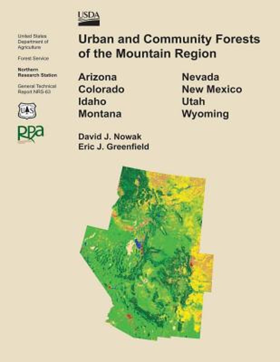
- Urban and Community Forests of the Mountain Region
- This report details how land cover and urbanization vary within the states of Arizona, Colorado, Idaho, Montana, Nevada, New Mexico, Utah, and Wyoming by community (incorporated and census designed places), county subdivision, and county. Specifically this report provides critical urban and community forestry information for each state... Read more
- Also available from:
- Bol.com, Belgium
Bol.com
Belgium
Belgium
- Urban and Community Forests of the Mountain Region
- This report details how land cover and urbanization vary within the states of Arizona, Colorado, Idaho, Montana, Nevada, New Mexico, Utah, and Wyoming by community (incorporated and census designed places), county subdivision, and county. Specifically this report provides critical urban and community forestry information for each state... Read more
Bol.com
Netherlands
Netherlands
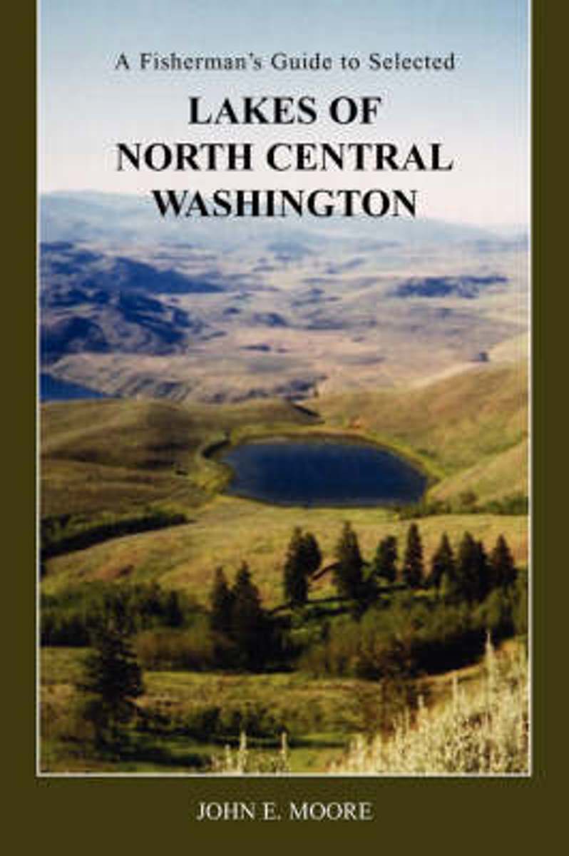
- A Fisherman's Guide to Selected Lakes of North Central Washington
- Most fishing guides offer very limited information on a large number of lakes, most of which their authors have never even been near. This book provides detailed information on the lake and surrounding area, as well as directions and fishing tips. All lakes included in this book have been personally visited, photographed, and in most cases... Read more
- Also available from:
- Bol.com, Belgium
Bol.com
Belgium
Belgium
- A Fisherman's Guide to Selected Lakes of North Central Washington
- Most fishing guides offer very limited information on a large number of lakes, most of which their authors have never even been near. This book provides detailed information on the lake and surrounding area, as well as directions and fishing tips. All lakes included in this book have been personally visited, photographed, and in most cases... Read more
Maps

Stanfords
United Kingdom
United Kingdom
- Greater Yellowstone & Grand Teton Benchnark Maps Recreation Atlas & Guide
- Greater Yellowstone and Grand Teton Recreation Atlas & Guide from Benchmark Maps in an A4 paperback format, with coverage of the two parks on detailed, GPS compatible “Recreational” section at 1:100,000, regional map coverage of a wider area, plus a 10-page recreational guide with list of various facilities, etc.The more detailed “Landscape”... Read more

Stanfords
United Kingdom
United Kingdom
- Idaho Springs - Loveland Pass CO
- Map No. 104, Idaho Springs - Loveland Pass in Colorado at 1:40,680 in an extensive series of GPS compatible, contoured hiking maps of USA’s national and state parks or forests and other popular recreational areas. Cartography is based on the national topographic survey, with additional tourist information.The maps, with most titles now printed... Read more
- Also available from:
- The Book Depository, United Kingdom


Stanfords
United Kingdom
United Kingdom
- Old Faithful - Yellowstone National Park SW WY/MT
- Map No. 302, Yellowstone SW: Old Faithful, WY/MT, in an extensive series of GPS compatible, contoured hiking maps of USA’s national and state parks or forests and other popular recreational areas. Cartography based on the national topographic survey, with additional tourist information.The maps, with most titles now printed on light, waterproof... Read more
- Also available from:
- The Book Depository, United Kingdom
- De Zwerver, Netherlands

The Book Depository
United Kingdom
United Kingdom
- Yellowstone Sw/old Faithful
- Trails Illustrated National Parks Read more

De Zwerver
Netherlands
Netherlands
- Wandelkaart - Topografische kaart 302 Old Faithful, Yellowstone National Park SW | National Geographic
- Prachtige geplastificeerde kaart van het bekende nationaal park. Met alle recreatieve voorzieningen als campsites, maar ook met topografische details en wandelroutes ed. Door uitgekiend kleurgebruik zeer prettig in gebruik. Scheur en watervast! Beautiful waterproof and tear-resistant topographical hiking map of a well-loved National Park, with... Read more

Bol.com
Netherlands
Netherlands
- Grand Canyon East
- Waterproof Tear-Resistant Topographic MapGrand Canyon East (#262) and Grand Canyon West (#263) combine to cover the entire Grand Canyon National Park and its bordering public lands. Both maps contain detailed and easy-to-read trail and road networks, locations of facilities, points of interest, and highly accurate terrain with thousands... Read more
- Also available from:
- Bol.com, Belgium
- De Zwerver, Netherlands
Bol.com
Belgium
Belgium
- Grand Canyon East
- Waterproof Tear-Resistant Topographic MapGrand Canyon East (#262) and Grand Canyon West (#263) combine to cover the entire Grand Canyon National Park and its bordering public lands. Both maps contain detailed and easy-to-read trail and road networks, locations of facilities, points of interest, and highly accurate terrain with thousands... Read more

De Zwerver
Netherlands
Netherlands
- Wandelkaart 262 Grand Canyon East - Oost | National Geographic
- Prachtige geplastificeerde kaart van het nationaal park. Met alle recreatieve voorzieningen als campsites, maar ook met topografische details en wandelroutes ed. Door uitgekiend kleurgebruik zeer prettig in gebruik. Scheur en watervast! Grand Canyon East (#262) and Grand Canyon West (#263) combine to cover the entire Grand Canyon National Park... Read more

Stanfords
United Kingdom
United Kingdom
- Bryce Canyon National Park UT NGS Trails Illustrated Map 219
- Map No. 219, Bryce Canyon National Park, UT, in an extensive series of GPS compatible, contoured hiking maps of USA’s national and state parks or forests and other popular recreational areas. Cartography based on the national topographic survey, with additional tourist information.The maps, with most titles now printed on light, waterproof and... Read more
- Also available from:
- The Book Depository, United Kingdom
- Bol.com, Netherlands
- Bol.com, Belgium
- De Zwerver, Netherlands

The Book Depository
United Kingdom
United Kingdom
- Bryce Canyon National Park
- Trails Illustrated National Parks Read more

Bol.com
Netherlands
Netherlands
- Bryce Canyon National Park
- Waterproof Tear-Resistant Topographic MapNational Geographic's Trails Illustrated map of Bryce Canyon National Park is designed to meet the needs of outdoor enthusiasts by combining valuable information with unmatched detail of this unique landscape of hoodoos and forest. Created in partnership with local land management agencies, this... Read more
Bol.com
Belgium
Belgium
- Bryce Canyon National Park
- Waterproof Tear-Resistant Topographic MapNational Geographic's Trails Illustrated map of Bryce Canyon National Park is designed to meet the needs of outdoor enthusiasts by combining valuable information with unmatched detail of this unique landscape of hoodoos and forest. Created in partnership with local land management agencies, this... Read more

De Zwerver
Netherlands
Netherlands
- Wandelkaart - Topografische kaart 219 Bryce Canyon National Park | National Geographic
- Prachtige geplastificeerde kaart van het bekende nationaal park. Met alle recreatieve voorzieningen als campsites, maar ook met topografische details en wandelroutes ed. Door uitgekiend kleurgebruik zeer prettig in gebruik. Scheur en watervast! This informative Trails Illustrated map will help you plan trips and explore the area in and around... Read more

Stanfords
United Kingdom
United Kingdom
- Olympic National Park WA
- Map No. 216, Olympic National Park, WA, in an extensive series of GPS compatible, contoured hiking maps of USA’s national and state parks or forests and other popular recreational areas. Cartography based on the national topographic survey, with additional tourist information.The maps, with most titles now printed on light, waterproof and... Read more
- Also available from:
- Bol.com, Netherlands
- Bol.com, Belgium
- De Zwerver, Netherlands

Bol.com
Netherlands
Netherlands
- Olympic National Park
- Waterproof Tear-Resistant Topographic MapOlympic National Park encompasses four distinctly different ecosystems in its nearly one million acres. National Geographic's Trails Illustrated map of Olympic National Park offers outdoors enthusiasts a valuable tool for exploring the park's old-growth forests, glaciers, untamed rivers, and rugged... Read more
Bol.com
Belgium
Belgium
- Olympic National Park
- Waterproof Tear-Resistant Topographic MapOlympic National Park encompasses four distinctly different ecosystems in its nearly one million acres. National Geographic's Trails Illustrated map of Olympic National Park offers outdoors enthusiasts a valuable tool for exploring the park's old-growth forests, glaciers, untamed rivers, and rugged... Read more

De Zwerver
Netherlands
Netherlands
- Wandelkaart 216 Olympic National Park | National Geographic
- Prachtige geplastificeerde kaart van het bekende nationaal park. Met alle recreatieve voorzieningen als campsites, maar ook met topografische details en wandelroutes ed. Door uitgekiend kleurgebruik zeer prettig in gebruik. Scheur en watervast! Within the park, there is detailed coverage of Mount Olympus, Tshletshy Ridge, Hurrican Ridge,... Read more

Stanfords
United Kingdom
United Kingdom
- Yellowstone National Park WY/MT NGS Trails Illustrated Map 201
- Map No. 201, Yellowstone National Park, WY/MT, in an extensive series of GPS compatible, contoured hiking maps of USA’s national and state parks or forests and other popular recreational areas. Cartography based on the national topographic survey, with additional tourist information.The maps, with most titles now printed on light, waterproof... Read more
- Also available from:
- The Book Depository, United Kingdom
- Bol.com, Netherlands
- Bol.com, Belgium
- De Zwerver, Netherlands

The Book Depository
United Kingdom
United Kingdom
- Yellowstone National Park
- Trails Illustrated National Parks Read more

Bol.com
Netherlands
Netherlands
- Yellowstone National Park
- Waterproof Tear-Resistant Topographic MapNational Geographic's Trails Illustrated map of Yellowstone National Park is designed to meet the needs of outdoor enthusiasts by combining valuable information with unmatched detail of America's first national park. Expertly researched and created in partnership with local land management... Read more
Bol.com
Belgium
Belgium
- Yellowstone National Park
- Waterproof Tear-Resistant Topographic MapNational Geographic's Trails Illustrated map of Yellowstone National Park is designed to meet the needs of outdoor enthusiasts by combining valuable information with unmatched detail of America's first national park. Expertly researched and created in partnership with local land management... Read more

De Zwerver
Netherlands
Netherlands
- Wandelkaart - Topografische kaart 201 Trails Illustrated Yellowstone National Park | National Geographic
- Prachtige geplastificeerde kaart van het bekende nationaal park. Met alle recreatieve voorzieningen als campsites, maar ook met topografische details en wandelroutes ed. Door uitgekiend kleurgebruik zeer prettig in gebruik. Scheur en watervast! Detailed and accurate coverage for Yellowstone National Park. Includes a detailed road network and... Read more

Stanfords
United Kingdom
United Kingdom
- Glacier - Waterton Lakes National Park MT
- Map No. 215, Glacier/Waterton Lakes National Park, MT, in an extensive series of GPS compatible, contoured hiking maps of USA’s national and state parks or forests and other popular recreational areas. Cartography based on the national topographic survey, with additional tourist information.The maps, with most titles now printed on light,... Read more
- Also available from:
- Bol.com, Netherlands
- Bol.com, Belgium
- De Zwerver, Netherlands

Bol.com
Netherlands
Netherlands
- Glacier/waterton Lakes National Parks
- Waterproof Tear-Resistant Topographic MapNational Geographic's Trails Illustrated map of Glacier and Waterton Lakes National Parks offers unparalleled detail for outdoor enthusiasts exploring the pristine landscape of forests, mountains, lakes, and meadows within these two spectacular parks. Created in partnership with local land... Read more
Bol.com
Belgium
Belgium
- Glacier/waterton Lakes National Parks
- Waterproof Tear-Resistant Topographic MapNational Geographic's Trails Illustrated map of Glacier and Waterton Lakes National Parks offers unparalleled detail for outdoor enthusiasts exploring the pristine landscape of forests, mountains, lakes, and meadows within these two spectacular parks. Created in partnership with local land... Read more

De Zwerver
Netherlands
Netherlands
- Wandelkaart - Topografische kaart 215 Glacier - Waterton Lakes National Park | National Geographic
- Prachtige geplastificeerde kaart van het bekende nationaal park. Met alle recreatieve voorzieningen als campsites, maar ook met topografische details en wandelroutes ed. Door uitgekiend kleurgebruik zeer prettig in gebruik. Scheur en watervast! Waterton Lakes National Park, Canada includes Waterton Park, Upper and Middle Waterton Lakes, The... Read more

Stanfords
United Kingdom
United Kingdom
- North Fork - Glacier National Park MT NGS Trails Illustrated Map 313
- Map No. 314, Glacier National Park: Many Glacier, MT, in an extensive series of GPS compatible, contoured hiking maps of USA’s national and state parks or forests and other popular recreational areas. Cartography based on the national topographic survey, with additional tourist information.The maps, with most titles now printed on light,... Read more
- Also available from:
- Bol.com, Netherlands
- Bol.com, Belgium

Bol.com
Netherlands
Netherlands
- North Fork, Glacier National Park
- Waterproof Tear-Resistant Topographic MapLocated just north of Kalispell in Montana's northwest corner, Glacier National contains an abundance of recreational opportunities for outdoor enthusiasts of all interests.This detailed topographic recreation map contains carefully researched trails, campsites, forest service roads, and... Read more
Bol.com
Belgium
Belgium
- North Fork, Glacier National Park
- Waterproof Tear-Resistant Topographic MapLocated just north of Kalispell in Montana's northwest corner, Glacier National contains an abundance of recreational opportunities for outdoor enthusiasts of all interests.This detailed topographic recreation map contains carefully researched trails, campsites, forest service roads, and... Read more


Stanfords
United Kingdom
United Kingdom
- Many Glacier - Glacier and Waterton Lakes National Parks MT
- Map No. 313, Glacier National Park: North Fork, MT, in an extensive series of GPS compatible, contoured hiking maps of USA’s national and state parks or forests and other popular recreational areas. Cartography based on the national topographic survey, with additional tourist information.The maps, with most titles now printed on light,... Read more
- Also available from:
- Bol.com, Netherlands
- Bol.com, Belgium
- De Zwerver, Netherlands

Bol.com
Netherlands
Netherlands
- Many Glacier, Glacier National Park
- Waterproof Tear-Resistant Topographic MapLocated just north of Kalispell in Montana's northwest corner, Glacier National contains an abundance of recreational opportunities for outdoor enthusiasts of all interests.This detailed topographic recreation map contains carefully researched trails, campsites, forest service roads, and... Read more
Bol.com
Belgium
Belgium
- Many Glacier, Glacier National Park
- Waterproof Tear-Resistant Topographic MapLocated just north of Kalispell in Montana's northwest corner, Glacier National contains an abundance of recreational opportunities for outdoor enthusiasts of all interests.This detailed topographic recreation map contains carefully researched trails, campsites, forest service roads, and... Read more

De Zwerver
Netherlands
Netherlands
- Wandelkaart - Topografische kaart 314 Many Glacier - Glacier and Waterton Lakes National Parks | National Geographic
- Prachtige geplastificeerde kaart van het bekende nationaal park. Met alle recreatieve voorzieningen als campsites, maar ook met topografische details en wandelroutes ed. Door uitgekiend kleurgebruik zeer prettig in gebruik. Scheur en watervast! Located just north of Kalispell in Montana's northwest corner, Glacier National contains an... Read more

De Zwerver
Netherlands
Netherlands
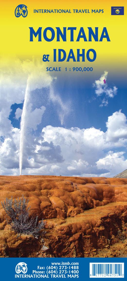
- Wegenkaart - landkaart Idaho, Montana & Wyoming | ITMB
- Idaho,Montana & Wyoming Travel Reference Map 1 : 1 000 000 ab 10.49 EURO International Travel Map ITM. 1st Edition Read more

Stanfords
United Kingdom
United Kingdom
- Telluride - Silverton - Ouray - Lake City CO
- Map No. 141, Telluride - Silverton - Ouray - Lake City, CO, in an extensive series of GPS compatible, contoured hiking maps of USA’s national and state parks or forests and other popular recreational areas. Cartography based on the national topographic survey, with additional tourist information.The maps, with most titles now printed on light,... Read more
- Also available from:
- The Book Depository, United Kingdom
- Bol.com, Netherlands
- Bol.com, Belgium
- De Zwerver, Netherlands


Bol.com
Netherlands
Netherlands
- Telluride/silverton/ouray/lake City
- Waterproof Tear-Resistant Topographic MapExpertly researched and created in partnership with local land management agencies, National Geographic's Trails Illustrated map of Telluride, Silverton, Ouray, and Lake City provides an unparalleled tool for exploring this breathtaking region of Colorado. Whatever the season, you'll find this map... Read more
Bol.com
Belgium
Belgium
- Telluride/silverton/ouray/lake City
- Waterproof Tear-Resistant Topographic MapExpertly researched and created in partnership with local land management agencies, National Geographic's Trails Illustrated map of Telluride, Silverton, Ouray, and Lake City provides an unparalleled tool for exploring this breathtaking region of Colorado. Whatever the season, you'll find this map... Read more

De Zwerver
Netherlands
Netherlands
- Wandelkaart - Topografische kaart 141 Telluride, Silverton, Ouray, Lake City | National Geographic
- Prachtige geplastificeerde kaart van het bekende nationaal park. Met alle recreatieve voorzieningen als campsites, maar ook met topografische details en wandelroutes ed. Door uitgekiend kleurgebruik zeer prettig in gebruik. Scheur en watervast! Beautiful waterproof and tear-resistant topographical hiking map of a well-loved National Park, with... Read more
More maps…