
Montana
Description
Montana, a north country state bordering on Canada, has a mountainous west part, bordering on Idaho.
Here you will find the Continental Divide Trail (961 miles of it), the Great Western Trail, and the Pacific Northwest Trail.
Best for hiking is the Glacier National Park with alpine hiking and passes covered in snow until well into July.
There are major national forests in Montana, offering thousends of miles of spectacular hiking: Flathead National Forest, Lolo National Forest, Gallatin National Forest, Lewis and Clark national Forest, Beaverhead National Forest, Bitterroot National Forest, Kootenai National Forest, to mention the most important ones.
Map

Trails in this state
Links
Facts
Reports
Guides and maps
Lodging
Organisations
Tour operators
GPS
Other
Books

Stanfords
United Kingdom
United Kingdom
- Best of Canmore Gem Trek
- Best of Camnore, a contoured and GPS compatible, waterproof and tear-resistant map/guide at 1:35,000 from Gem Trek, designed for people who are only going to be in Camnore for one to three days and want to know the highlights. On one side is a detailed, relief-shaded topographic map of the Canmore area, covering Canmore Nordic Centre Provincial... Read more

Stanfords
United Kingdom
United Kingdom
- Missoula - Mission Mountains MT
- Map No. 724, Missoula - Mission Mountains in Montana at 1:70,000, part of an extensive series of GPS compatible, contoured hiking maps of USA’s national and state parks or forests and other popular recreational areas. Cartography, based on the national topographic survey, has extensive additional tourist information.The maps, printed on light,... Read more


The Book Depository
United Kingdom
2022
United Kingdom
2022
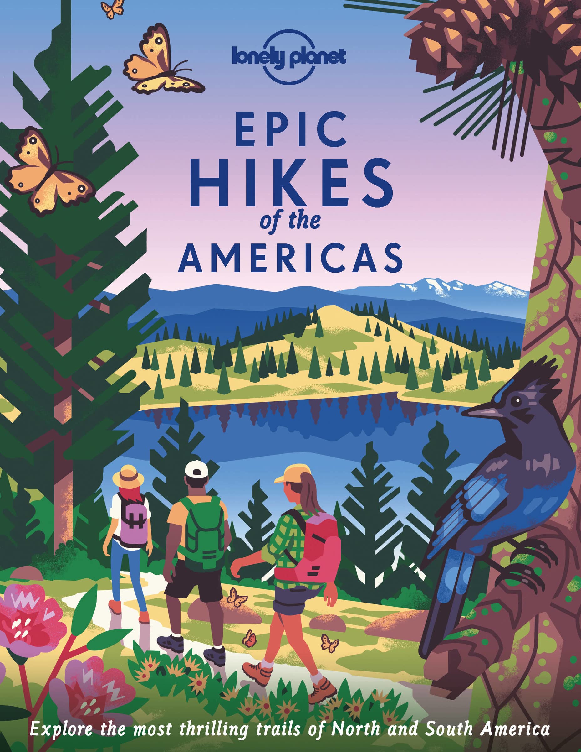
- Lonely Planet Epic Hikes of the Americas
- Lace up your hiking boots for the next in Lonely Planet`s highly successful Epic Hikes series, this time exploring 50 of the Americas` most rewarding treks and trails. From Canada`s longest hut-to-hut hike, the Sunshine Coast Trail, to a descent through Havasu Canyon in the USA, and the Santa Cruz Trail of northern Peru, we cover a huge variety... Read more
- Also available from:
- De Zwerver, Netherlands
De Zwerver
Netherlands
2022
Netherlands
2022
- Wandelgids Epic Hikes of the Americas | Lonely Planet
- Lace up your hiking boots for the next in Lonely Planet`s highly successful Epic Hikes series, this time exploring 50 of the Americas` most rewarding treks and trails. From Canada`s longest hut-to-hut hike, the Sunshine Coast Trail, to a descent through Havasu Canyon in the USA, and the Santa Cruz Trail of northern Peru, we cover a huge variety... Read more

The Book Depository
United Kingdom
2022
United Kingdom
2022
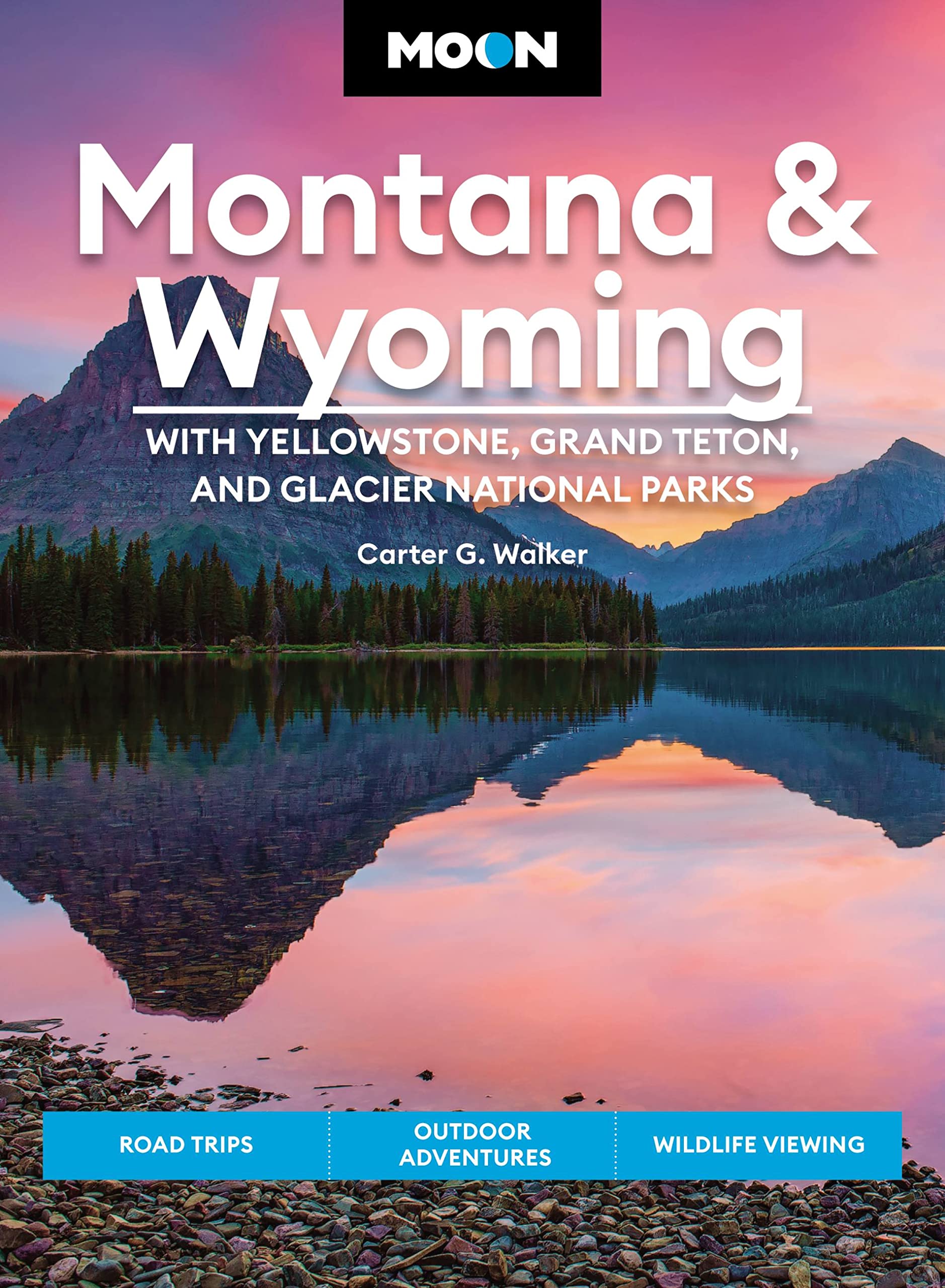
- Moon Montana & Wyoming: With Yellowstone, Grand Teton & Glacier National Parks (Fifth Edition)
- Road Trips, Outdoor Adventures, Wildlife Viewing Read more
- Also available from:
- De Zwerver, Netherlands
De Zwerver
Netherlands
2022
Netherlands
2022
- Reisgids Montana - Wyoming | Moon Travel Guides
- Road Trips, Outdoor Adventures, Wildlife Viewing Read more

The Book Depository
United Kingdom
United Kingdom
- Montana Outdoor Recreation Web Guide
- An Internet directory guide to Montana's outdoors Read more

Bol.com
Netherlands
Netherlands
- An Ultralighter's True Trail Stories
- Book two in the Journey series, this volume is filled with stories and ultralight backpacking tips from Carol "Brawny" Wellman. Trail descriptions for the Pacific Crest Trail, Appalachian Trail, John Muir Trail, Continental Divide Trail, Colorado Trail, Vermont Trail, Bartram Trail, including trail guide, plus the Foothills Trail. Learn how to... Read more
- Also available from:
- Bol.com, Belgium
Bol.com
Belgium
Belgium
- An Ultralighter's True Trail Stories
- Book two in the Journey series, this volume is filled with stories and ultralight backpacking tips from Carol "Brawny" Wellman. Trail descriptions for the Pacific Crest Trail, Appalachian Trail, John Muir Trail, Continental Divide Trail, Colorado Trail, Vermont Trail, Bartram Trail, including trail guide, plus the Foothills Trail. Learn how to... Read more
- Also available from:
- Bol.com, Belgium

The Book Depository
United Kingdom
United Kingdom
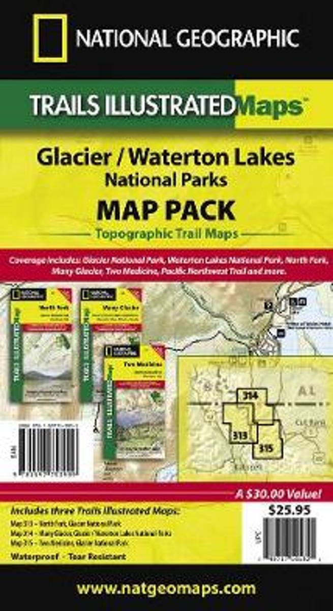
- Glacier/waterton Lakes National Parks,map Pack Bundle
- Trails Illustrated National Parks Read more
- Also available from:
- Bol.com, Netherlands
- Bol.com, Belgium
Bol.com
Netherlands
Netherlands
- Glacier/waterton Lakes National Parks,map Pack Bundle
- Waterproof Tear-Resistant Topographic MapSeeking the best combination of detailed maps and value for your Glacier/Waterton Lakes National Parks trip, then get our bundle pack. It includes three of our Glacier/Waterton Lakes National Parks sectional Trails Illustrated maps, providing you coverage of the entire map region, while saving you... Read more
Bol.com
Belgium
Belgium
- Glacier/waterton Lakes National Parks,map Pack Bundle
- Waterproof Tear-Resistant Topographic MapSeeking the best combination of detailed maps and value for your Glacier/Waterton Lakes National Parks trip, then get our bundle pack. It includes three of our Glacier/Waterton Lakes National Parks sectional Trails Illustrated maps, providing you coverage of the entire map region, while saving you... Read more
Bol.com
Netherlands
Netherlands
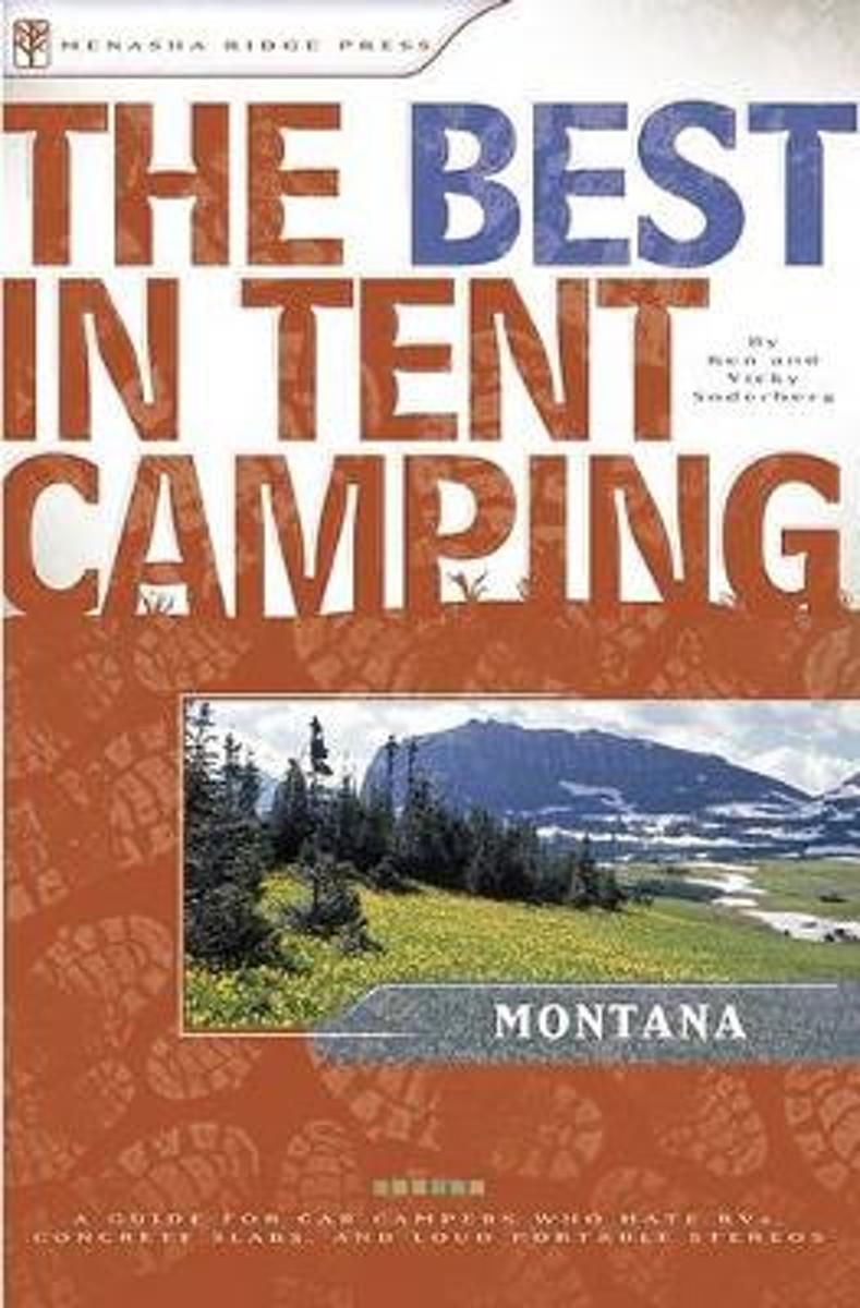
- The Best in Tent Camping
- From the Cabinet Mountain Wilderness in the northwest, to the Yellowstone River Valley in the south, The Best in Tent Camping: Montana is a guidebook for tent campers who like quiet, scenic, and serene campsites. Whether you are a native Montanan in search of new territory or a vacationer on the lookout for that dream campground, this book... Read more
- Also available from:
- Bol.com, Belgium
Bol.com
Belgium
Belgium
- The Best in Tent Camping
- From the Cabinet Mountain Wilderness in the northwest, to the Yellowstone River Valley in the south, The Best in Tent Camping: Montana is a guidebook for tent campers who like quiet, scenic, and serene campsites. Whether you are a native Montanan in search of new territory or a vacationer on the lookout for that dream campground, this book... Read more
Bol.com
Netherlands
2013
Netherlands
2013
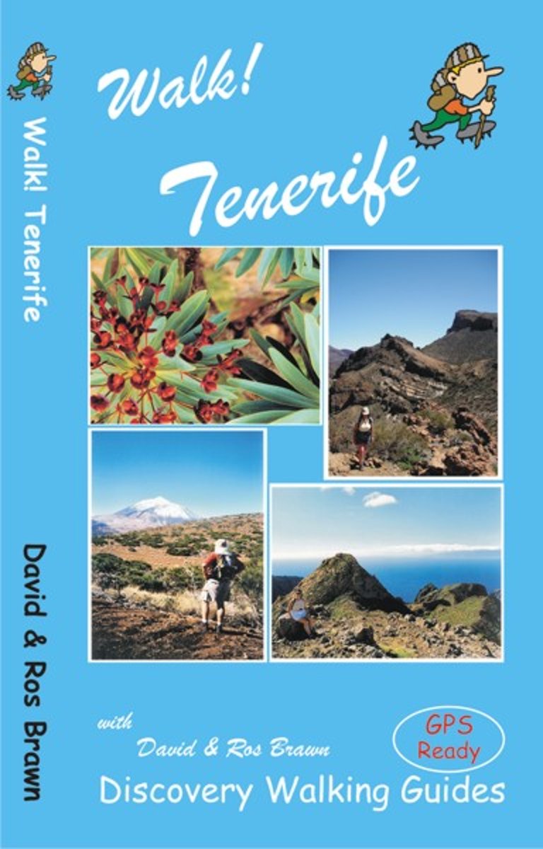
- Walk! Tenerife
- A new edition of Walk! Tenerife is due to be published in September 2017 with completely revised and new walking routes. Comprehensive walking guide book to Tenerife's best walking. 46 fully detailed walking routes with 1:25,000 scale maps and GPS Waypoints. A real 'Rolls Royce' of a walking guide to the authors' home island. Contents:- The... Read more
- Also available from:
- Bol.com, Belgium
Bol.com
Belgium
2013
Belgium
2013
- Walk! Tenerife
- A new edition of Walk! Tenerife is due to be published in September 2017 with completely revised and new walking routes. Comprehensive walking guide book to Tenerife's best walking. 46 fully detailed walking routes with 1:25,000 scale maps and GPS Waypoints. A real 'Rolls Royce' of a walking guide to the authors' home island. Contents:- The... Read more

Bol.com
Netherlands
2017
Netherlands
2017
- Moon Colombia, 2nd Edition
- Your World Your Way Travel writer and expat Andrew Dier shares his expert perspective on Colombia, guiding you on a memorable and unique experience. Whether you're dancing and dining in Bogota or hiking to the Ciudad Perdida, Moon Colombia has activities for every traveler. With itineraries like Music and Dance Festivals and Mountain Highs,... Read more
- Also available from:
- Bol.com, Belgium
Bol.com
Belgium
2017
Belgium
2017
- Moon Colombia, 2nd Edition
- Your World Your Way Travel writer and expat Andrew Dier shares his expert perspective on Colombia, guiding you on a memorable and unique experience. Whether you're dancing and dining in Bogota or hiking to the Ciudad Perdida, Moon Colombia has activities for every traveler. With itineraries like Music and Dance Festivals and Mountain Highs,... Read more
Bol.com
Netherlands
Netherlands
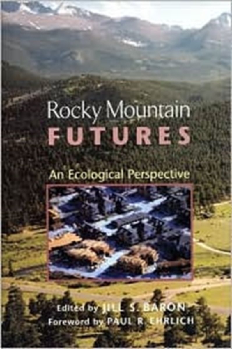
- Rocky Mountain Futures
- The Rocky Mountain West is largely arid and steep, with ecological scars from past human use visible for hundreds of years. Just how damaging were the past 150 years of activity? How do current rates of disturbance compare with past mining, grazing, and water diversion activities? In the face of constant change, what constitutes a "natural"... Read more
- Also available from:
- Bol.com, Belgium
Bol.com
Belgium
Belgium
- Rocky Mountain Futures
- The Rocky Mountain West is largely arid and steep, with ecological scars from past human use visible for hundreds of years. Just how damaging were the past 150 years of activity? How do current rates of disturbance compare with past mining, grazing, and water diversion activities? In the face of constant change, what constitutes a "natural"... Read more
Bol.com
Netherlands
Netherlands
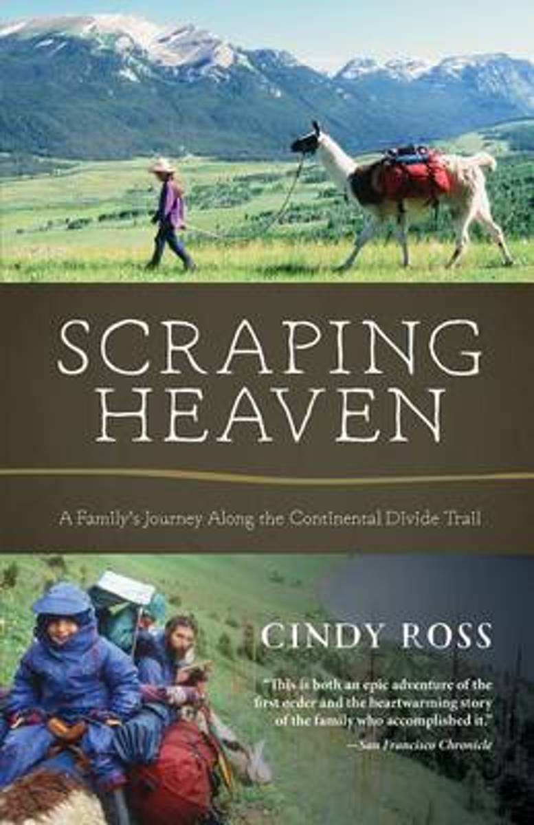
- Scraping Heaven
- More than 3,000 miles of trail by foot and mountain bikes with llamas and toddlers . . .What could go wrong? Scraping Heaven is the story of a family's adventurous trek over the rooftop of North America, a warm and heartfelt account with a powerful message for parents, long-distance hikers, and outdoor adventurers alike. The Continental Divide... Read more
- Also available from:
- Bol.com, Belgium
Bol.com
Belgium
Belgium
- Scraping Heaven
- More than 3,000 miles of trail by foot and mountain bikes with llamas and toddlers . . .What could go wrong? Scraping Heaven is the story of a family's adventurous trek over the rooftop of North America, a warm and heartfelt account with a powerful message for parents, long-distance hikers, and outdoor adventurers alike. The Continental Divide... Read more
Bol.com
Netherlands
Netherlands
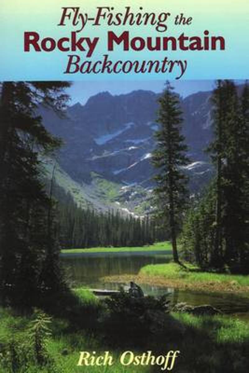
- Fly-Fishing the Rocky Mountain Backcountry
- How to reach and fish remote waters in Montana, Wyoming, Colorado, Utah, Idaho, and Oregon. Read more
- Also available from:
- Bol.com, Belgium
Bol.com
Belgium
Belgium
- Fly-Fishing the Rocky Mountain Backcountry
- How to reach and fish remote waters in Montana, Wyoming, Colorado, Utah, Idaho, and Oregon. Read more
Maps

Stanfords
United Kingdom
United Kingdom
- Isla de Montana Clara 25K Lanzarote CNIG Topographic Survey Map No. 1079-IV
- Topographic coverage of the Canary Islands at 1:25,000 published by the Instituto Geográfico Nacional – Centro Nacional de Información Geografica, the country’s civilian survey organization. The maps have contours at 10m intervals and colouring and/or graphics to show different types of vegetation or land use. Boundaries of national parks and... Read more

Stanfords
United Kingdom
United Kingdom
- Montaña Palentina y Sur de la Liébana CNIG
- Montaña Palentina, just south-east of the Picos de Europa, on a contoured and GPS compatible map at 1:50,000 from IGN/CNIG with cartography from their topographic survey of Spain. The map has contours at 20m intervals enhanced by bold relief shading, plus colouring and graphics to show different types of vegetation. Mountain refuges are... Read more

Stanfords
United Kingdom
United Kingdom
- Banff - Egypt Lake Gem Trek
- Banff - Egypt Lake, a contoured and GPS compatible map at 1:50,000 from Gem Trek of the main hiking area in the Banff National Park, with coverage around Banff itself, including trails eastwards to Lake Minnewanka and Johnson, and extending westwards across the state border to include parts of Kootenay NP and Mt. Assiniboine Provincial Park.... Read more

Stanfords
United Kingdom
United Kingdom
- Waterton Lakes National Park Gem Trek Map
- Waterton Lakes National Park in British Columbia with the northern part of the Glacier National Park across the US border in Montana at 1:50,000 on a light, waterproof and tear-resistant map from Gem Trek with descriptions of recommended treks and bike trails, etc.Contours are at 25m intervals, enhanced by relief shading and colouring for... Read more
Stanfords
United Kingdom
United Kingdom
- Comunita Montana del Fortore
- Fortore commune in the mountains along the north-eastern corner of Campania on a detailed, countered map at 1:50,000 from Ed. Abies, with notes about the area and other tourist information. The map is centered on the villages of Molinara, Montefalcone di Valforte and Foiano di Valfortre, with the town of Benevento in its south-western... Read more

Stanfords
United Kingdom
United Kingdom
- Greater Yellowstone & Grand Teton Benchnark Maps Recreation Atlas & Guide
- Greater Yellowstone and Grand Teton Recreation Atlas & Guide from Benchmark Maps in an A4 paperback format, with coverage of the two parks on detailed, GPS compatible “Recreational” section at 1:100,000, regional map coverage of a wider area, plus a 10-page recreational guide with list of various facilities, etc.The more detailed “Landscape”... Read more

Stanfords
United Kingdom
United Kingdom
- Kootenay Rockies - Calgary and Northern Montana Back Road Atlas
- South-eastern British Columbia with the adjoining regions of Alberta including the Banff and Jasper NP plus the border area of Montana with the Glacier NP presented at 1:250,000 in an A4 paperback road atlas with additional street plans, a listing of local events, etc.Mapping at 1:250,000 covers the areas indicated on our coverage image.... Read more

Stanfords
United Kingdom
United Kingdom
- Old Faithful - Yellowstone National Park SW WY/MT
- Map No. 302, Yellowstone SW: Old Faithful, WY/MT, in an extensive series of GPS compatible, contoured hiking maps of USA’s national and state parks or forests and other popular recreational areas. Cartography based on the national topographic survey, with additional tourist information.The maps, with most titles now printed on light, waterproof... Read more
- Also available from:
- The Book Depository, United Kingdom
- De Zwerver, Netherlands

The Book Depository
United Kingdom
United Kingdom
- Yellowstone Sw/old Faithful
- Trails Illustrated National Parks Read more

De Zwerver
Netherlands
Netherlands
- Wandelkaart - Topografische kaart 302 Old Faithful, Yellowstone National Park SW | National Geographic
- Prachtige geplastificeerde kaart van het bekende nationaal park. Met alle recreatieve voorzieningen als campsites, maar ook met topografische details en wandelroutes ed. Door uitgekiend kleurgebruik zeer prettig in gebruik. Scheur en watervast! Beautiful waterproof and tear-resistant topographical hiking map of a well-loved National Park, with... Read more

Stanfords
United Kingdom
United Kingdom
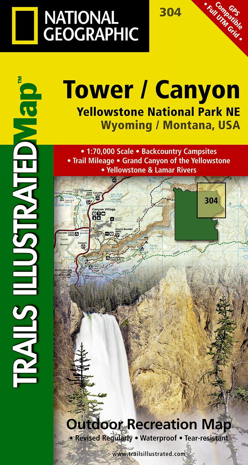
- Tower - Canyon - Yellowstone National Park WY/MT
- Map No. 304, Yellowstone NE: Tower/Canyon, WY/MT, in an extensive series of GPS compatible, contoured hiking maps of USA’s national and state parks or forests and other popular recreational areas. Cartography based on the national topographic survey, with additional tourist information.The maps, with most titles now printed on light, waterproof... Read more
- Also available from:
- The Book Depository, United Kingdom
- De Zwerver, Netherlands

The Book Depository
United Kingdom
United Kingdom
- Yellowstone Ne/tower/canyon
- Trails Illustrated National Parks Read more
De Zwerver
Netherlands
Netherlands
- Wandelkaart - Topografische kaart 304 Tower - Canyon - Yellowstone National Park NE | National Geographic
- Prachtige geplastificeerde kaart van het nationaal park. Met alle recreatieve voorzieningen als campsites, maar ook met topografische details en wandelroutes ed. Door uitgekiend kleurgebruik zeer prettig in gebruik. Scheur en watervast! Coverage of the Tower / Canyon area of Yellowstone National Park includes Canyon Village, Tower -... Read more

Stanfords
United Kingdom
United Kingdom
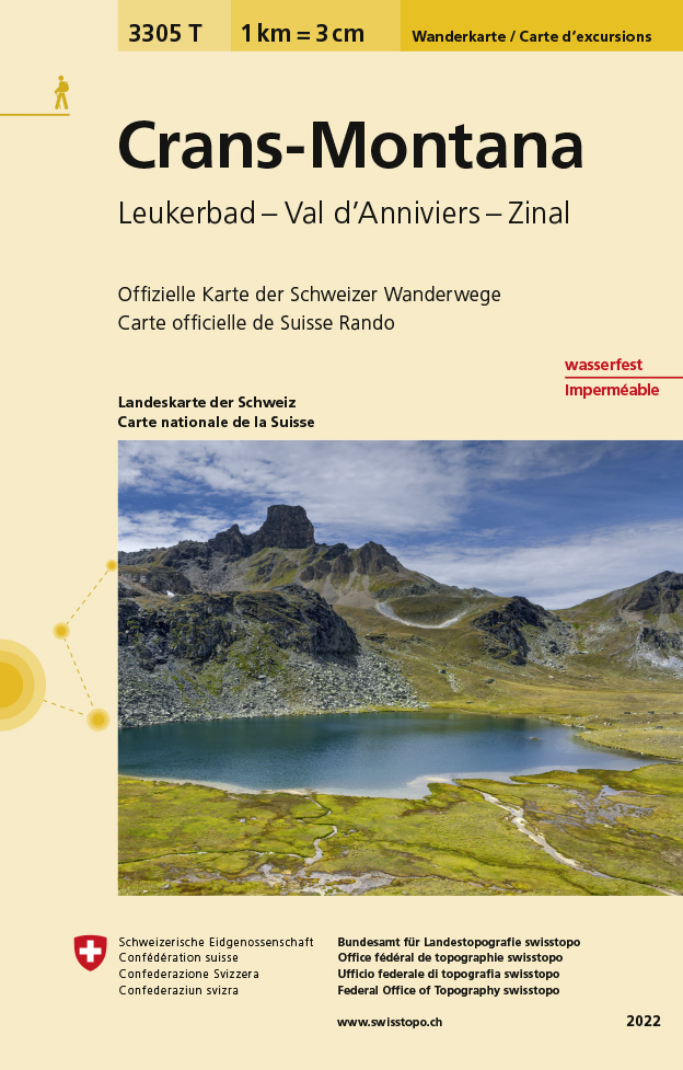
- Crans-Montana - Leukerbad - Val d`Anniviers - Zinal Swisstopo Hiking 3305T
- Crans-Montana - Leukerbad - Val d’Anniviers - Zinal area at 1:33,333 on light, waterproof and tear-resistant map No. 3305T published by Swisstopo in cooperation with the Swiss Hiking Federation. Cartography is the same as in Swisstopo’s 50K hiking maps, simply enlarged to 1:33,333 for extra clarity but without additional information. With... Read more
- Also available from:
- The Book Depository, United Kingdom
- De Zwerver, Netherlands

The Book Depository
United Kingdom
United Kingdom
- Craens - Montana
- Een nieuwe serie van de Zwitserse topografische dienst: eindelijk goede wandelkaarten met ingetekende wandelroutes op scheur- en watervast papier. Vooralsnog zijn ze uitgebracht van de populaire wandelgebieden en niet landelijk dekkend (zie overzicht) Op een gedetailleerde schaal van 1:33.333 met als ondergrond de onovertroffen topografische... Read more
De Zwerver
Netherlands
Netherlands
- Wandelkaart - Topografische kaart 3305T Crans-Montana | Swisstopo
- Een nieuwe serie van de Zwitserse topografische dienst: eindelijk goede wandelkaarten met ingetekende wandelroutes op scheur- en watervast papier. Vooralsnog zijn ze uitgebracht van de populaire wandelgebieden en niet landelijk dekkend (zie overzicht) Op een gedetailleerde schaal van 1:33.333 met als ondergrond de onovertroffen topografische... Read more

Stanfords
United Kingdom
United Kingdom
- Olympic National Park WA
- Map No. 216, Olympic National Park, WA, in an extensive series of GPS compatible, contoured hiking maps of USA’s national and state parks or forests and other popular recreational areas. Cartography based on the national topographic survey, with additional tourist information.The maps, with most titles now printed on light, waterproof and... Read more
- Also available from:
- Bol.com, Netherlands
- Bol.com, Belgium
- De Zwerver, Netherlands

Bol.com
Netherlands
Netherlands
- Olympic National Park
- Waterproof Tear-Resistant Topographic MapOlympic National Park encompasses four distinctly different ecosystems in its nearly one million acres. National Geographic's Trails Illustrated map of Olympic National Park offers outdoors enthusiasts a valuable tool for exploring the park's old-growth forests, glaciers, untamed rivers, and rugged... Read more
Bol.com
Belgium
Belgium
- Olympic National Park
- Waterproof Tear-Resistant Topographic MapOlympic National Park encompasses four distinctly different ecosystems in its nearly one million acres. National Geographic's Trails Illustrated map of Olympic National Park offers outdoors enthusiasts a valuable tool for exploring the park's old-growth forests, glaciers, untamed rivers, and rugged... Read more

De Zwerver
Netherlands
Netherlands
- Wandelkaart 216 Olympic National Park | National Geographic
- Prachtige geplastificeerde kaart van het bekende nationaal park. Met alle recreatieve voorzieningen als campsites, maar ook met topografische details en wandelroutes ed. Door uitgekiend kleurgebruik zeer prettig in gebruik. Scheur en watervast! Within the park, there is detailed coverage of Mount Olympus, Tshletshy Ridge, Hurrican Ridge,... Read more

Stanfords
United Kingdom
United Kingdom
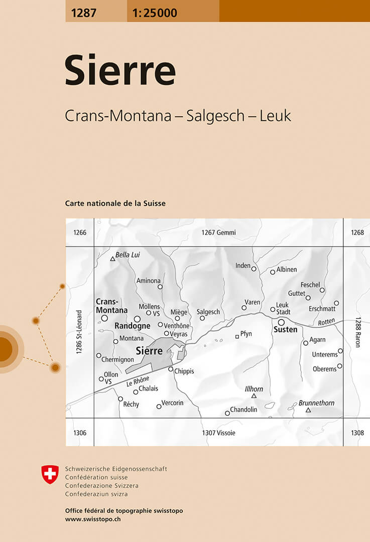
- Sierre Swisstopo 1287
- Map No. 1287, Sierre, in the topographic survey of Switzerland at 1:25,000 from Bundesamt für Landestopographie (swisstopo), covering the whole country on 247 small format sheets, with special larger maps published for popular regions including some titles now available in hiking versions.Highly regarded for their superb use of graphic relief... Read more
- Also available from:
- De Zwerver, Netherlands
De Zwerver
Netherlands
Netherlands
- Wandelkaart - Topografische kaart 1287 Sierre | Swisstopo
- Map No. 1287, Sierre, in the topographic survey of Switzerland at 1:25,000 from Bundesamt f Read more
Bol.com
Netherlands
Netherlands
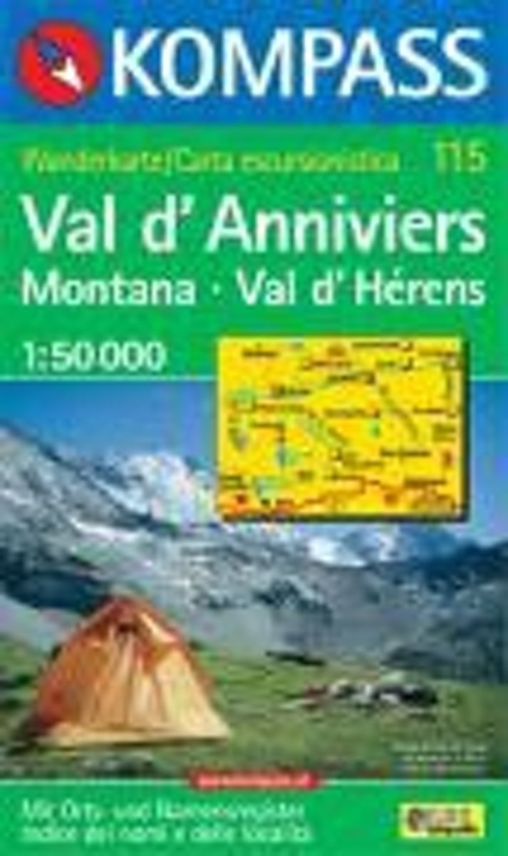
- Val d'Anniviers, Montana, Val d'Hérens WK115
- Deze Kompass wandelkaart, schaal 1:50 000, is ideaal om uw route uit te stippelen en om onderweg te gebruiken • naast de bekende bestemmingen, worden ook de minder bekende vermeld • openbaar vervoer bij begin- of eindpunt van een route aangegeven • eenvoudige wandelingen tot pittige (berg)tochten, voor getrainde en ongetrainde wandelaars • met... Read more
- Also available from:
- Bol.com, Belgium
Bol.com
Belgium
Belgium
- Val d'Anniviers, Montana, Val d'Hérens WK115
- Deze Kompass wandelkaart, schaal 1:50 000, is ideaal om uw route uit te stippelen en om onderweg te gebruiken • naast de bekende bestemmingen, worden ook de minder bekende vermeld • openbaar vervoer bij begin- of eindpunt van een route aangegeven • eenvoudige wandelingen tot pittige (berg)tochten, voor getrainde en ongetrainde wandelaars • met... Read more

Stanfords
United Kingdom
United Kingdom
- Glacier - Waterton Lakes National Park MT
- Map No. 215, Glacier/Waterton Lakes National Park, MT, in an extensive series of GPS compatible, contoured hiking maps of USA’s national and state parks or forests and other popular recreational areas. Cartography based on the national topographic survey, with additional tourist information.The maps, with most titles now printed on light,... Read more
- Also available from:
- Bol.com, Netherlands
- Bol.com, Belgium
- De Zwerver, Netherlands

Bol.com
Netherlands
Netherlands
- Glacier/waterton Lakes National Parks
- Waterproof Tear-Resistant Topographic MapNational Geographic's Trails Illustrated map of Glacier and Waterton Lakes National Parks offers unparalleled detail for outdoor enthusiasts exploring the pristine landscape of forests, mountains, lakes, and meadows within these two spectacular parks. Created in partnership with local land... Read more
Bol.com
Belgium
Belgium
- Glacier/waterton Lakes National Parks
- Waterproof Tear-Resistant Topographic MapNational Geographic's Trails Illustrated map of Glacier and Waterton Lakes National Parks offers unparalleled detail for outdoor enthusiasts exploring the pristine landscape of forests, mountains, lakes, and meadows within these two spectacular parks. Created in partnership with local land... Read more

De Zwerver
Netherlands
Netherlands
- Wandelkaart - Topografische kaart 215 Glacier - Waterton Lakes National Park | National Geographic
- Prachtige geplastificeerde kaart van het bekende nationaal park. Met alle recreatieve voorzieningen als campsites, maar ook met topografische details en wandelroutes ed. Door uitgekiend kleurgebruik zeer prettig in gebruik. Scheur en watervast! Waterton Lakes National Park, Canada includes Waterton Park, Upper and Middle Waterton Lakes, The... Read more

Stanfords
United Kingdom
United Kingdom
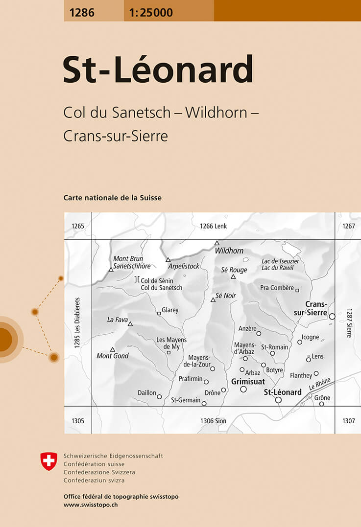
- St-Leonard Swisstopo 1286
- Map No. 1286, St-Léonard, in the topographic survey of Switzerland at 1:25,000 from Bundesamt für Landestopographie (swisstopo), covering the whole country on 247 small format sheets, with special larger maps published for popular regions including some titles now available in hiking versions.Highly regarded for their superb use of graphic... Read more
- Also available from:
- De Zwerver, Netherlands
De Zwerver
Netherlands
Netherlands
- Wandelkaart - Topografische kaart 1286 St.Leonard | Swisstopo
- Zeer gedetailleerde wandelkaart van een deel van Zwitserland. De topografische details van deze kaarten zijn onovertroffen; de werkelijkheid is perfect weergegeven op deze kaart van uitzonderlijk hoog niveau. Ze zijn geschikt voor alle soorten gebruik: voor eenvoudige wandeltochten in simpel terrein tot zware bergtochten en beklimmingen van de... Read more