
Annapurna
Description
Map

Trails in this region
Links
Facts
Reports
Guides and maps
Lodging
Organisations
Tour operators
GPS
Other
Books


Bol.com
Netherlands
Netherlands
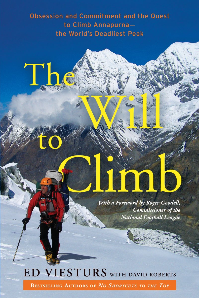
- The Will to Climb
- The bestselling author of No Shortcuts to the Top and K2 chronicles his three attempts to climb the world's tenth-highest and statistically deadliest peak, Annapurna in the Himalaya, while exploring the dramatic and tragic history of others who have made -- or attempted the ascent, and what these exploits teach us about facing life's greatest... Read more
- Also available from:
- Bol.com, Belgium
Bol.com
Belgium
Belgium
- The Will to Climb
- The bestselling author of No Shortcuts to the Top and K2 chronicles his three attempts to climb the world's tenth-highest and statistically deadliest peak, Annapurna in the Himalaya, while exploring the dramatic and tragic history of others who have made -- or attempted the ascent, and what these exploits teach us about facing life's greatest... Read more
Bol.com
Netherlands
Netherlands
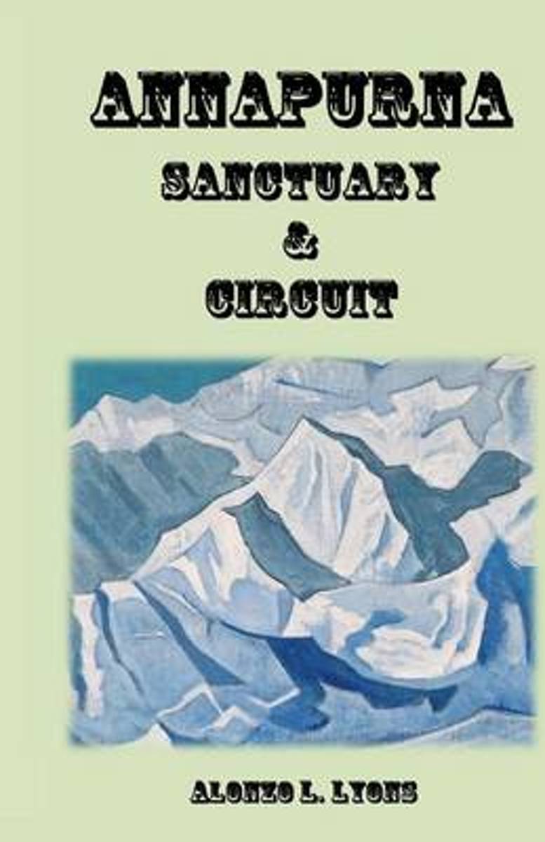
- Annapurna Sanctuary and Circuit
- Annapurna is the most popular of Nepal s trekking regions, and for good reason. The area boasts Nepal's widest range of cultural, geographical, and biological diversity. Enjoy non-stop views of rugged landscaped and breathtaking mountain scenery.This guidebook is a must have for anyone visiting the Annapurna Region. Read more
- Also available from:
- Bol.com, Belgium
Bol.com
Belgium
Belgium
- Annapurna Sanctuary and Circuit
- Annapurna is the most popular of Nepal s trekking regions, and for good reason. The area boasts Nepal's widest range of cultural, geographical, and biological diversity. Enjoy non-stop views of rugged landscaped and breathtaking mountain scenery.This guidebook is a must have for anyone visiting the Annapurna Region. Read more
Bol.com
Netherlands
Netherlands
- Himalaya
- In this his most challenging journey, Michael Palin tackles the Himalaya, the greatest mountain range on earth, a virtually unbroken wall of rock stretching 1800 miles from the borders of Afghanistan to south-west China. Penetrated but never conquered, it remains the world's most majestic natural barrier, a magnificent wilderness that shapes... Read more
- Also available from:
- Bol.com, Belgium
Bol.com
Belgium
Belgium
- Himalaya
- In this his most challenging journey, Michael Palin tackles the Himalaya, the greatest mountain range on earth, a virtually unbroken wall of rock stretching 1800 miles from the borders of Afghanistan to south-west China. Penetrated but never conquered, it remains the world's most majestic natural barrier, a magnificent wilderness that shapes... Read more
Bol.com
Netherlands
2015
Netherlands
2015
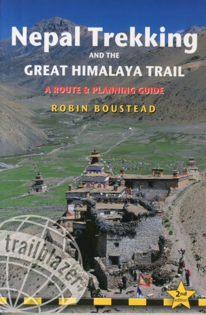
- Nepal Trekking & the Great Himalaya Trail
- With extensive sections to help choose a trekking region, this is a route and planning guide for anyone organising a trekking holiday in Nepal. It includes the most popular routes as well as the newest trekking areas plus the most extreme route of all, the 160-day Great Himalaya Trail. There are route guides to the following regions:... Read more
- Also available from:
- Bol.com, Belgium
Bol.com
Belgium
2015
Belgium
2015
- Nepal Trekking & the Great Himalaya Trail
- With extensive sections to help choose a trekking region, this is a route and planning guide for anyone organising a trekking holiday in Nepal. It includes the most popular routes as well as the newest trekking areas plus the most extreme route of all, the 160-day Great Himalaya Trail. There are route guides to the following regions:... Read more
Bol.com
Netherlands
Netherlands
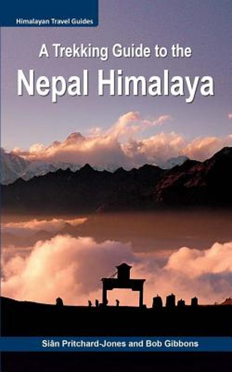
- A Trekking Guide to the Nepal Himalaya
- For centuries the inspirational spires of the Himalaya have been a magical draw for mystics, sages, hermits and pilgrims. Today the fascination with these highest mountains continues for trekkers, climbers, naturalists, explorers and the curious, all seeking a new experience. Secretive and serene, the Nepal Himalaya are a fairytale wonderland... Read more
- Also available from:
- Bol.com, Belgium
Bol.com
Belgium
Belgium
- A Trekking Guide to the Nepal Himalaya
- For centuries the inspirational spires of the Himalaya have been a magical draw for mystics, sages, hermits and pilgrims. Today the fascination with these highest mountains continues for trekkers, climbers, naturalists, explorers and the curious, all seeking a new experience. Secretive and serene, the Nepal Himalaya are a fairytale wonderland... Read more
Bol.com
Netherlands
Netherlands
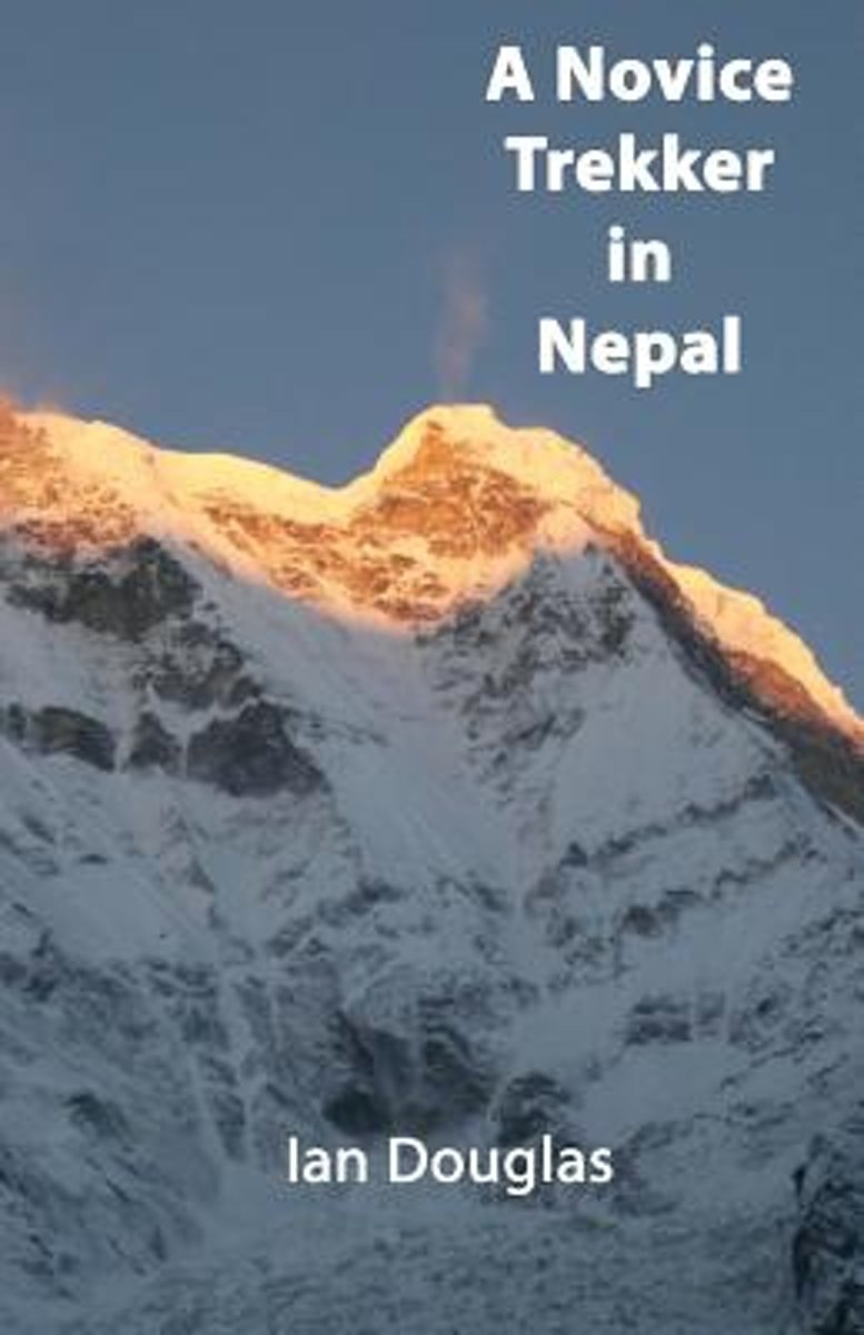
- A Novice Trekker in Nepal
- The book describes a trek to the Annapurna Sanctuary in Nepal in October/November 2013. As well as being a journal of the author s trek, the book describes the realities of trekking in Nepal for the first time trekker. It explains what the trekker should take on the trek, the type of accommodation he or she will encounter, and other practical... Read more
- Also available from:
- Bol.com, Belgium
Bol.com
Belgium
Belgium
- A Novice Trekker in Nepal
- The book describes a trek to the Annapurna Sanctuary in Nepal in October/November 2013. As well as being a journal of the author s trek, the book describes the realities of trekking in Nepal for the first time trekker. It explains what the trekker should take on the trek, the type of accommodation he or she will encounter, and other practical... Read more
Bol.com
Netherlands
Netherlands
- Trekking in the Himalayas
- Each year, the Himalayas attract millions of visitors who follow myriad paths among splendid forests and icy peaks in search of ancient monuments and breathtaking panoramas. This handy volume presents 15 of the best routes in the Himalayas, from the Biafo and Hispar Glaciers to the Annapurna Sanctuary and the Rongbuk and Kabshung valleys at the... Read more
- Also available from:
- Bol.com, Belgium
Bol.com
Belgium
Belgium
- Trekking in the Himalayas
- Each year, the Himalayas attract millions of visitors who follow myriad paths among splendid forests and icy peaks in search of ancient monuments and breathtaking panoramas. This handy volume presents 15 of the best routes in the Himalayas, from the Biafo and Hispar Glaciers to the Annapurna Sanctuary and the Rongbuk and Kabshung valleys at the... Read more
Bol.com
Netherlands
Netherlands
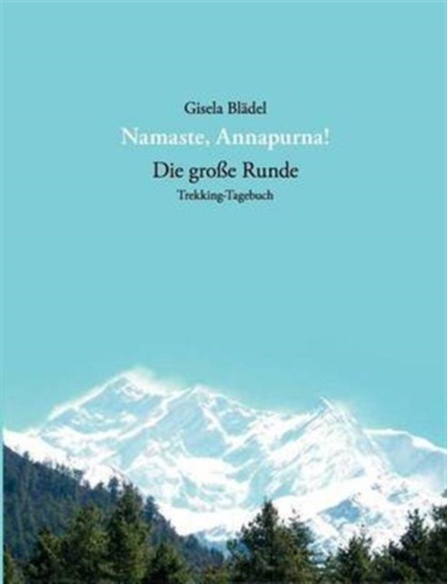
- Namaste, Annapurna!
- Nepal macht s chtig. Mit dieser Erfahrung nach zwei Reisen in das K nigreich startet Gisela Bl del im M rz 2006 gemeinsam mit zwei Freundinnen zu ihrer dritten kommerziell gef hrten Trekkingtour in die Bergwelt des Himalaja. Die 17-t gige Umrundung des Annapurna-Massivs (inklusive Abstecher auf den Aussichtsberg Poon Hill) f hrt sie in eine... Read more
- Also available from:
- Bol.com, Belgium
Bol.com
Belgium
Belgium
- Namaste, Annapurna!
- Nepal macht s chtig. Mit dieser Erfahrung nach zwei Reisen in das K nigreich startet Gisela Bl del im M rz 2006 gemeinsam mit zwei Freundinnen zu ihrer dritten kommerziell gef hrten Trekkingtour in die Bergwelt des Himalaja. Die 17-t gige Umrundung des Annapurna-Massivs (inklusive Abstecher auf den Aussichtsberg Poon Hill) f hrt sie in eine... Read more

- Also available from:
- Bol.com, Netherlands
- Bol.com, Belgium
Bol.com
Netherlands
Netherlands
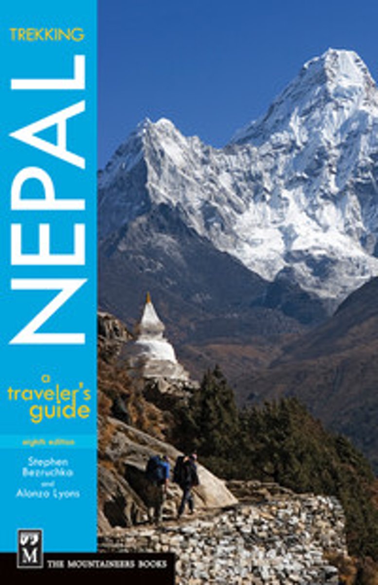
- Trekking Nepal
- ''Any Nepal travel guidebook will give you details, details, details. But read Stephen Bezruchka's Trekking Nepal, the best for background and thorough trekking advice.'' -- Christian Science Monitor, on the 7th edition* Co-written by veteran Nepal trekkers with more than 60 combined years of experience in the region* New 8th edition reflects... Read more
Bol.com
Belgium
Belgium
- Trekking Nepal
- ''Any Nepal travel guidebook will give you details, details, details. But read Stephen Bezruchka's Trekking Nepal, the best for background and thorough trekking advice.'' -- Christian Science Monitor, on the 7th edition* Co-written by veteran Nepal trekkers with more than 60 combined years of experience in the region* New 8th edition reflects... Read more

The Book Depository
United Kingdom
2013
United Kingdom
2013
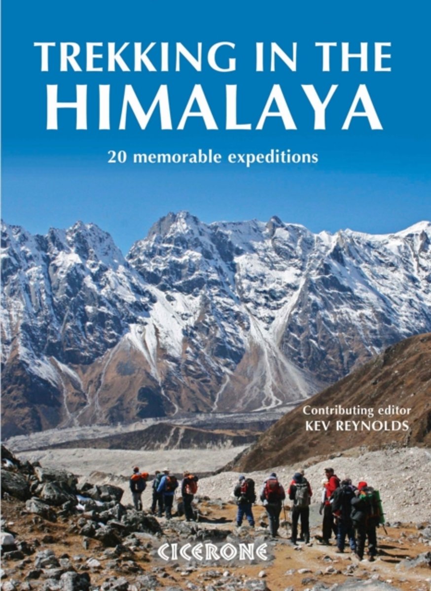
- Trekking in the Himalaya
- An inspirational guidebook to 20 treks along the 2400km Himalayan chain. Includes classics such as the treks to Everest and K2 base camps and the Annapurna Circuit. Also epic glacier treks, ultra-long expedition treks and sacred treks. This is a book to inspire and excite, guaranteed to entice any with an adventurous spirit and love of wild places. Read more
- Also available from:
- Bol.com, Netherlands
- Bol.com, Belgium
- De Zwerver, Netherlands
Bol.com
Netherlands
2013
Netherlands
2013
- Trekking in the Himalaya
- An inspirational larger format book describing 20 memorable treks in the Himalaya. They include such well-known classics as the treks to Everest, K2 and Kangchenjunga base camps, and the Annapurna and Manaslu Circuits. The ultra-long Lunana Snowman Trek and a kora around sacred Mount Kailash in Tibet are also included. There are epic glacier... Read more
Bol.com
Belgium
2013
Belgium
2013
- Trekking in the Himalaya
- An inspirational larger format book describing 20 memorable treks in the Himalaya. They include such well-known classics as the treks to Everest, K2 and Kangchenjunga base camps, and the Annapurna and Manaslu Circuits. The ultra-long Lunana Snowman Trek and a kora around sacred Mount Kailash in Tibet are also included. There are epic glacier... Read more

De Zwerver
Netherlands
2013
Netherlands
2013
- Wandelgids Trekking in the Himalaya | Cicerone
- An inspirational guidebook to 20 treks along the 2400km Himalayan chain. Includes classics such as the treks to Everest and K2 base camps and the Annapurna Circuit. Also epic glacier treks, ultra-long expedition treks and sacred treks. This is a book to inspire and excite, guaranteed to entice any with an adventurous spirit and love of wild places. Read more
Maps

Stanfords
United Kingdom
United Kingdom
- Pisang Peak
- Trekking routes to the Pisang Peak from the northern part of the Annapurna Circuit presented on a contoured and GP compatible map at 1:50,000 from Nepa Maps with a vivid presentation of the region’s mountainous terrain. The Annapurna Circuit is clearly highlighted on the map, which covers it from Thoche east of Chame, past Manang, to Ledar... Read more

Stanfords
United Kingdom
United Kingdom
- Sikles Trek
- The Sikles Trek from Pokhara north-eastwards into the southern part of the Annapurna Conservation Area presented by Nepa Maps on a map at 1:50,000 with highlighting for the main trail and other trekking routes in the region between Pohkara, Besi Sahar and Sikles. Contour lines are at 40m intervals and the map has latitude and longitude margin... Read more

Stanfords
United Kingdom
2017
United Kingdom
2017
- Nepal Nelles
- Nepal on a waterproof and tear-resistant map from Nelles, presenting the whole country at 1:1,500,000, with its more visited central and eastern regions also shown in more detail at 1:480,000, plus enlargement of the Kathmandu Valley and the Rara Lake area and street plans of central Kathmandu City, Patan, Bhaktapur and the lakeside district of... Read more

Stanfords
United Kingdom
United Kingdom
- Annapurna Base Camp
- Annapurna Base Camp trekking map at 1:50,000 from Nepa Maps, covering the trekking route from Pokhara to Annapurna’s South Base Camp and the Machhapuchhre (Mt. Fish Tail) Base Camp, and beyond them showing the climbing routes to Tharpu Chuli (Tent Peak) and Singu Chuli (Fluted Peak). Also highlighted are various trekking routes on the lower... Read more

Stanfords
United Kingdom
United Kingdom
- Ghorepani - Ghandruk
- Trekking area north-west of Pokhara, around Ghandruk and Ghrorepani in the south-western part of the Annapurna Conservation Area, presented on a map at 1:50,000 from Nepa Maps. Coverage extends north to Tatopani and includes a section of the Annapurna Circuit, prominently marked to distinguish it from other trekking routes. The map also... Read more

Stanfords
United Kingdom
United Kingdom
- Annapurna Trekking Atlas
- Trekking Atlas of the Annapurna region from the Kolkata/Calcutta based Milestone Books, combining 15 maps at scales from 1:50,000 to 1:82,000 and an overview map of the whole Annapurna Circuit at 1:125,000. The main Annapurna circuit via Muktinath and Jomson is presented on 12 pages, with three more pages covering the eastern approaches to the... Read more

Stanfords
United Kingdom
United Kingdom
- Tilicho Hidden Lake
- Tilicho Lake on the northern slopes of the Annapurna massif at 1:50,000 in the Nepa Maps series which provides extensive coverage of trekking areas of Nepal on detailed contoured maps with trekking routes and hiking trails, huts and camp sites, local places of interest and other tourist information.The map covers the trekking route from... Read more

Stanfords
United Kingdom
United Kingdom
- Chitwan National Park
- Detailed map of Nepal’s Royal Chitwan National Park, indicating various resorts, lodges and locations where different animals can be found, with enlargements for Narayangadh, Hetauda and Sauraha. The main map at 1:150,000 has contours, relief shading and spot heights, with colouring and graphics indicating different types of terrain and... Read more

Stanfords
United Kingdom
United Kingdom
- Biking Around Annapurna
- Annapurna Cycling Circuit from Nepa Maps, shown on a series of panels at 1:75,000 with detailed information of the difficulty of the terrain indicating sections where the bike has to be carried or pushed, overnight stops, altitude profiles, etc.A general map at 1:227,000 with relief shading shows the whole of the Eagle’s Loop biking circuit... Read more

Stanfords
United Kingdom
United Kingdom
- Mustang Upper and Lower
- Upper and Lower Mustang area at 1:90,000 in the Nepa Maps series which provides extensive coverage of trekking areas of Nepal on detailed contoured maps with trekking routes and hiking trails, huts and camp sites, local places of interest and other tourist information.The map shows trekking routes in the northern part of the Annapurna... Read more

Stanfords
United Kingdom
United Kingdom
- Chulus
- Trekking routes to the Chulu peaks from the northern part of the Annapurna Circuit presented on a contoured and GP compatible map at 1:50,000 from Nepa Maps with a vivid presentation of the region’s mountainous terrain. The Annapurna Circuit is clearly highlighted on the map, which covers it from Thoche east of Chame, past Manang, to Ledar... Read more

Stanfords
United Kingdom
United Kingdom
- Upper Mustang
- Upper Mustang area at 1:100,000 in the Nepa Maps series which provides extensive coverage of trekking areas of Nepal on detailed contoured maps with trekking routes and hiking trails, huts and camp sites, local places of interest and other tourist information.The map shows trekking routes in the northern part of the Annapurna Conservation Area,... Read more

Stanfords
United Kingdom
United Kingdom
- Paragliding Annapurna
- Paragliding Annapurna from Napa Maps is a detailed map of the paragliding area north-west of Pokhara, plus separate insets showing five paragliding routes annotated with signs showing thermals, turbulence, etc, as well as places of interest and tourist facilities.An indexed, topographic map at 1:50,000 shows the area north-west of Pokhara,... Read more

Stanfords
United Kingdom
United Kingdom
- Around Annapurna (125K)
- The whole of the Annapurna Circuit prominently highlighted on a map at 1:125,000 from Nepa Maps with alternative variants via the Tilicho Lakes or Naar, treks to the Machhapuchhre and South Annapurna Base Camps, climbing routes to the Chulu Peaks, Pisang Peak and Singu Chuli (Fluted Peak), etc. Coverage extends from Pohkara to Muktinath and... Read more

Stanfords
United Kingdom
United Kingdom
- Around Annapurna (100K)
- The whole of the Annapurna Circuit highlighted on a map at 1:100,000 from Nepa Maps, with alternative variants via the Tilicho Lakes or Naar, treks to the Machhapuchhre and South Annapurna Base Camps, climbing routes to the Chulu Peaks, Pisang Peak and Singu Chuli (Fluted Peak), etc. Coverage extends from Pohkara to Muktinath and Kagbeni in the... Read more