Fuerteventura, Canarias
Description
The Canary island of Fuerteventura has recently been declared a biosphere reserve by Unesco. It shares this status with Tenerife, but that’s about the only resemblance between the two islands.
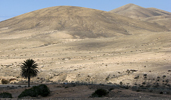
Fuerteventura is a large, dry island, almost treeless, eroded by winds since it is by far the oldest of the Canary Islands. Highest point is only 807 m. Still, this island is a very good place for hiking. The semi desert inland with its colourful sands and volcanoes contrast with the azur blue coastline and is virtually empty of habitation. Most people live along the coast, and in some big towns where the main tourist influx happens (windsurfing).
This exotic scenery is the background for many nature reserves - 30% of the island - rich in rare birds and animals, including Egyptian Vultures and wild dogs and cats. Moreover, a fantastic trail traverses the island from north to south, the GR131.
Best time for hiking is winter. This is the time of the “eternal spring”. Temperatures are around 20 degrees Celsius. Most rain is in October. Summer is pleasant too, but bring sun protection, and plan your siesta in the afternoon.
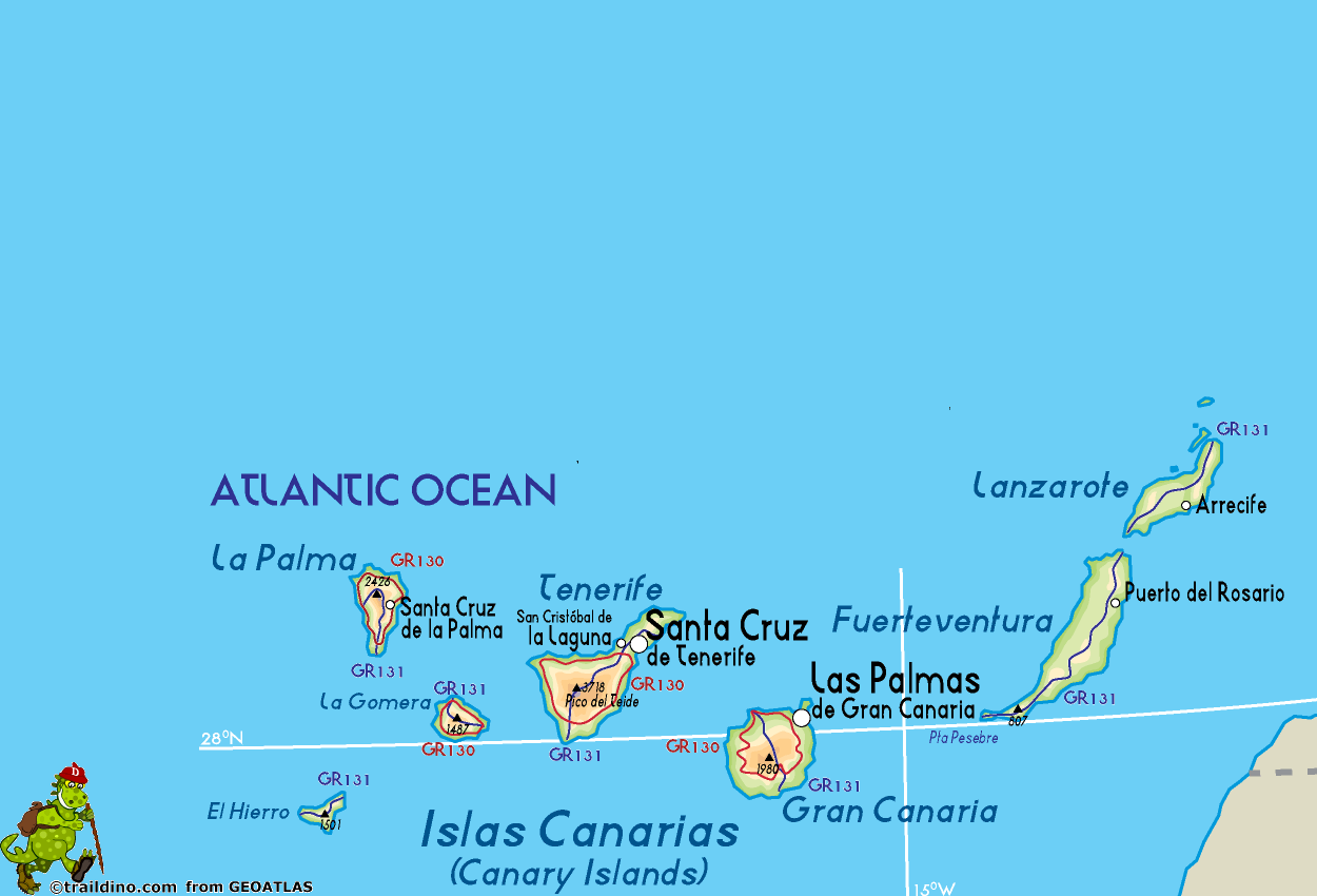
Check the complete list of Canary Islands.
Map
Trails in this region
Links
Facts
Reports
Guides and maps
Lodging
Organisations
Tour operators
GPS
Other
Books

United Kingdom
2015
- La Palma GERMAN
- This Rother Walking Guide to La Palma (ALL TEXT IS IN GERMAN), presents the hiker with 64 varied and entertaining tour suggestions incorporating every region on the island - the guide includes 112 colour photos and colour hiking maps at 1:50.000 or 1:100,000 scale, and an overview map for general planning at 1:250,000. From physically demanding... Read more

United Kingdom
- Fuerteventura
- Fuerteventura in the Sunflower Landscapes guide series; exploring the best walking and touring possibilities in the region or area. Detailed information about touring by hired car or public transport, as well as on foot is provided, helping walkers to navigate and plan day-trips. Shorter strolls are also included as an alternative for each main... Read more

United Kingdom
2015
- Fuerteventura: Car Tours and Walks
- Fuerteventura in the Sunflower Landscapes guide series; exploring the best walking and touring possibilities in the region or area. Detailed information about touring by hired car or public transport, as well as on foot is provided, helping walkers to navigate and plan day-trips. Shorter strolls are also included as an alternative for each main... Read more

United Kingdom
2013
- Lanzarote: Car Tours and Walks
- Lanzarote is the Sunflower Landscapes guide to exploring the best walking and touring possibilities on the island. The guide covers a range of routes including walks in La Graciosa, Maguez, Mancha Blanca, Yaiza and Lobos. A double-sided, fold-out touring map of Lanzarote gives an overview of the island and the locations of each walk. Detailed... Read more

United Kingdom
2018
- Fuerteventura Sunflower Landscape Guide
- This new 7th edition of Fuerteventura has been thoroughly revised on the ground just prior to publication, with the addition of 30% more walks. All the maps have been redrawn using OpenStreetMap source material with GPS tracking. The printed maps show waypoints, and free downloadable GPS tracks are available for all the walks. Read more
- Also available from:
- The Book Depository, United Kingdom
- De Zwerver, Netherlands

United Kingdom
2018
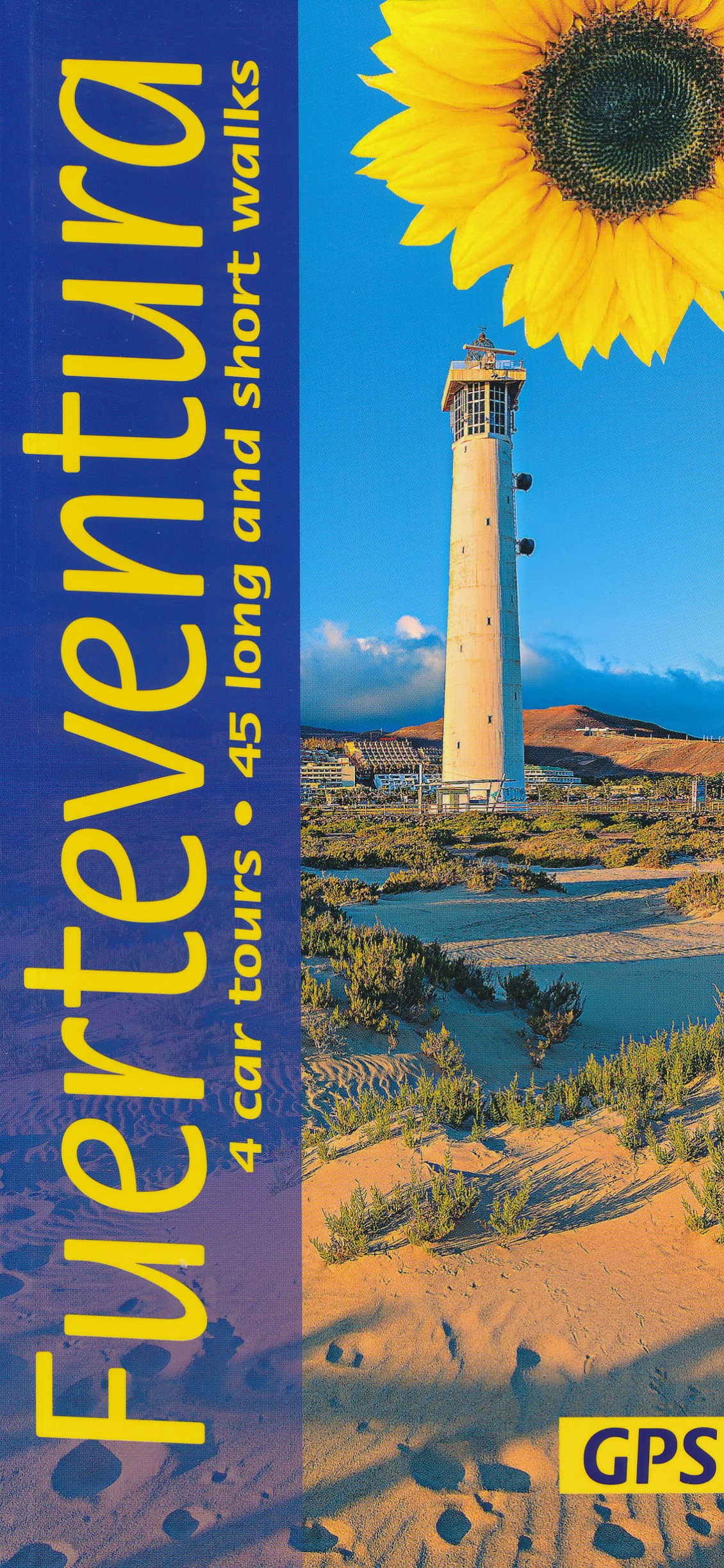
- Fuerteventura Sunflower Guide
- 45 long and short walks with detailed maps and GPS; 4 car tours with pull-out map Read more
Netherlands
2018
- Wandelgids Fuerteventura | Sunflower books
- Wandelgids: vele dagtochten worden degelijk beschreven met openbaar vervoer informatie, goede routebeschrijvingen en kaartmateriaal. Tevens enkele autotochten. Deze gids staat goed bekend! Engelstalig, want nederlandstalige is uitverkocht en niet meer leverbaar. Fuerteventura is different from all the other islands in the Canaries. Being the... Read more

United Kingdom
2020
- Walking on La Gomera and El Hierro: 45 day walks and treks for all abilities
- Walking guide to the islands of La Gomera and El Hierro. The 45 waymarked routes in this guidebook include easy strolls and hands-on scrambles, day walks and long-distance routes including the GR132 and parts of the GR131, which runs the whole length of the Canary Islands. Walks are spread in the guide roughly clockwise and where walks are... Read more
- Also available from:
- The Book Depository, United Kingdom
- De Zwerver, Netherlands

United Kingdom
2020
- Walking on La Gomera and El Hierro
- 45 day walks and treks for all abilities Read more

United Kingdom
2023
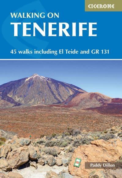
- Walking on Tenerife
- 45 walks including El Teide and GR 131 Read more
- Also available from:
- De Zwerver, Netherlands
Netherlands
2023
- Wandelgids Walking on Tenerife | Cicerone
- 45 walks including El Teide and GR 131 Read more
- Also available from:
- De Zwerver, Netherlands

United Kingdom
2019
- Walking on La Palma: Including the GR130 and GR131 long-distance trails
- Guide to walking on La Palma. In total 45 day walks are described ranging from 7 to 32km in length, and covering a wide variety of terrain. Although La Palma is one of the smaller Canary Islands, there are routes of all types from easy strolls to hands-on scrambling, from simple day walks to long-distance treks on rocky mountain paths,... Read more
- Also available from:
- The Book Depository, United Kingdom
- De Zwerver, Netherlands

United Kingdom
2019
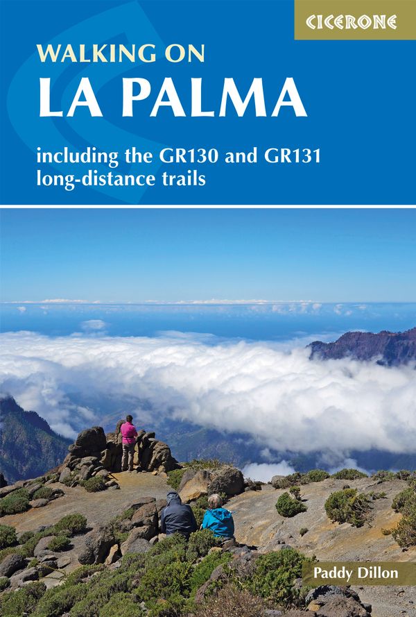
- Walking on La Palma
- Including the GR130 and GR131 long-distance trails Read more
Netherlands
2019
- Wandelgids Walking on La Palma | Cicerone
- Guidebook to 45 walks and scrambles on La Palma in the Canary Islands, ranging from 7 to 31km. Some walks combine to complete the GR130 long-distance trail (eight days) and GR131 trail (three days). Areas explored include Santa Cruz and Buenavista. Contains a Spanish-English glossary. Read more

United Kingdom
2022
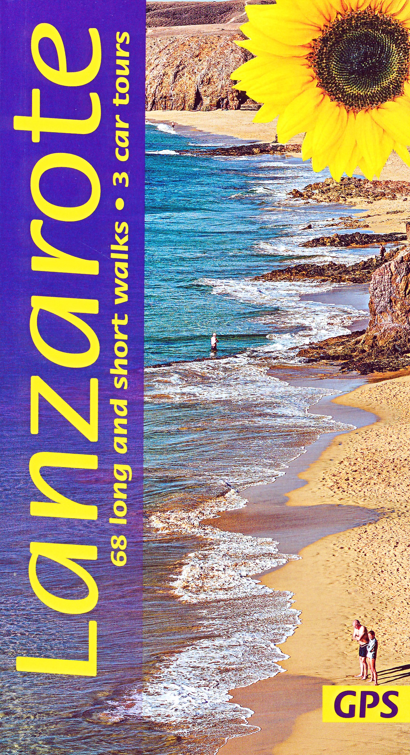
- Lanzarote Guide: 68 long and short walks with detailed maps and GPS; 3 car tours with pull-out map
- The go-to Lanzarote travel guide for discovering the best walks and car tours. Strap on your boots and discover Lanzarote on foot with the Sunflower Lanzarote travel guide. And on the days when your feet may have had enough, enjoy some spectacular scenery on one of our legendary car tours. The Sunflower Lanzarote guide is indispensable for... Read more
- Also available from:
- The Book Depository, United Kingdom
- De Zwerver, Netherlands
United Kingdom
2022
- Lanzarote Guide: 68 long and short walks with detailed maps and GPS; 3 car tours with pull-out map
- The go-to Lanzarote travel guide for discovering the best walks and car tours. Strap on your boots and discover Lanzarote on foot with the Sunflower Lanzarote travel guide. And on the days when your feet may have had enough, enjoy some spectacular scenery on one of our legendary car tours. The Sunflower Lanzarote guide is indispensable for... Read more
Netherlands
2022
- Wandelgids Lanzarote | Sunflower books
- The go-to Lanzarote travel guide for discovering the best walks and car tours. Strap on your boots and discover Lanzarote on foot with the Sunflower Lanzarote travel guide. And on the days when your feet may have had enough, enjoy some spectacular scenery on one of our legendary car tours. The Sunflower Lanzarote guide is indispensable for... Read more

United Kingdom
2022
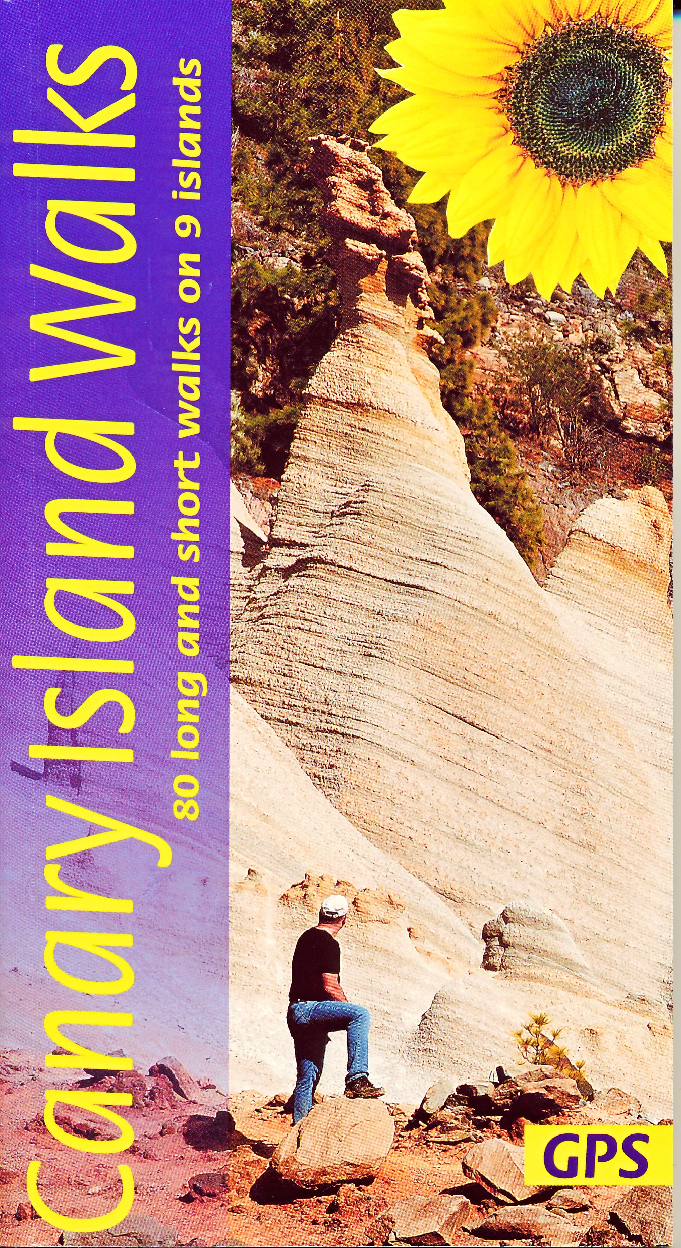
- Canary Islands Walks Sunflower Guide: 90 long and short walks on the Canary Islands
- The go-to travel guide for discovering the best walks on the Canary Islands; Strap on your boots and discover the Canary Islands on foot with the Sunflower Canary Islands Walks travel guide. The Sunflower Canary Islands Walks guide is indispensable for walking and hiking on all 7 Canary Islands - Tenerife, Gran Canaria, Lanzarote,... Read more
- Also available from:
- The Book Depository, United Kingdom
- De Zwerver, Netherlands

United Kingdom
2022
- Canary Islands Walks Sunflower Guide
- 80 long and short walks on the Canary Islands Read more
Netherlands
2022
- Wandelgids Canary Islands Walks | Sunflower books
- The go-to travel guide for discovering the best walks on the Canary Islands; Strap on your boots and discover the Canary Islands on foot with the Sunflower Canary Islands Walks travel guide. The Sunflower Canary Islands Walks guide is indispensable for walking and hiking on all 7 Canary Islands - Tenerife, Gran Canaria, Lanzarote,... Read more

United Kingdom
2019
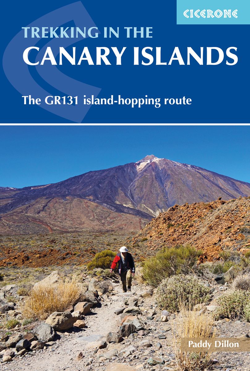
- Trekking in the Canary Islands: The GR131 island-hopping route
- This guidebook provides a comprehensive and detailed description of the GR131, an island-hopping trail across the seven Canary Islands. The 560km (348 mile) route begins on Lanzarote and finishes on El Hierro and is presented in 32 daily stages. The route is well waymarked but some navigational skills are required, and the remote and occasional... Read more
- Also available from:
- The Book Depository, United Kingdom
- De Zwerver, Netherlands

United Kingdom
2019
- Trekking in the Canary Islands
- The GR131 island-hopping route Read more
Netherlands
2019
- Wandelgids Trekking in the Canary Islands: The GR131 Island Hopping Route | Cicerone
- Guidebook to the GR131, an island-hopping trail that runs coast to coast across each of the 7 Canary Islands, a sub-tropical Spanish archipelago. Described over 32 stages, the route begins on Lanzarote, finishes on El Hierro, measures 560km (348 miles) and would take an average trekker about 1 month to complete. Read more

United Kingdom
2020
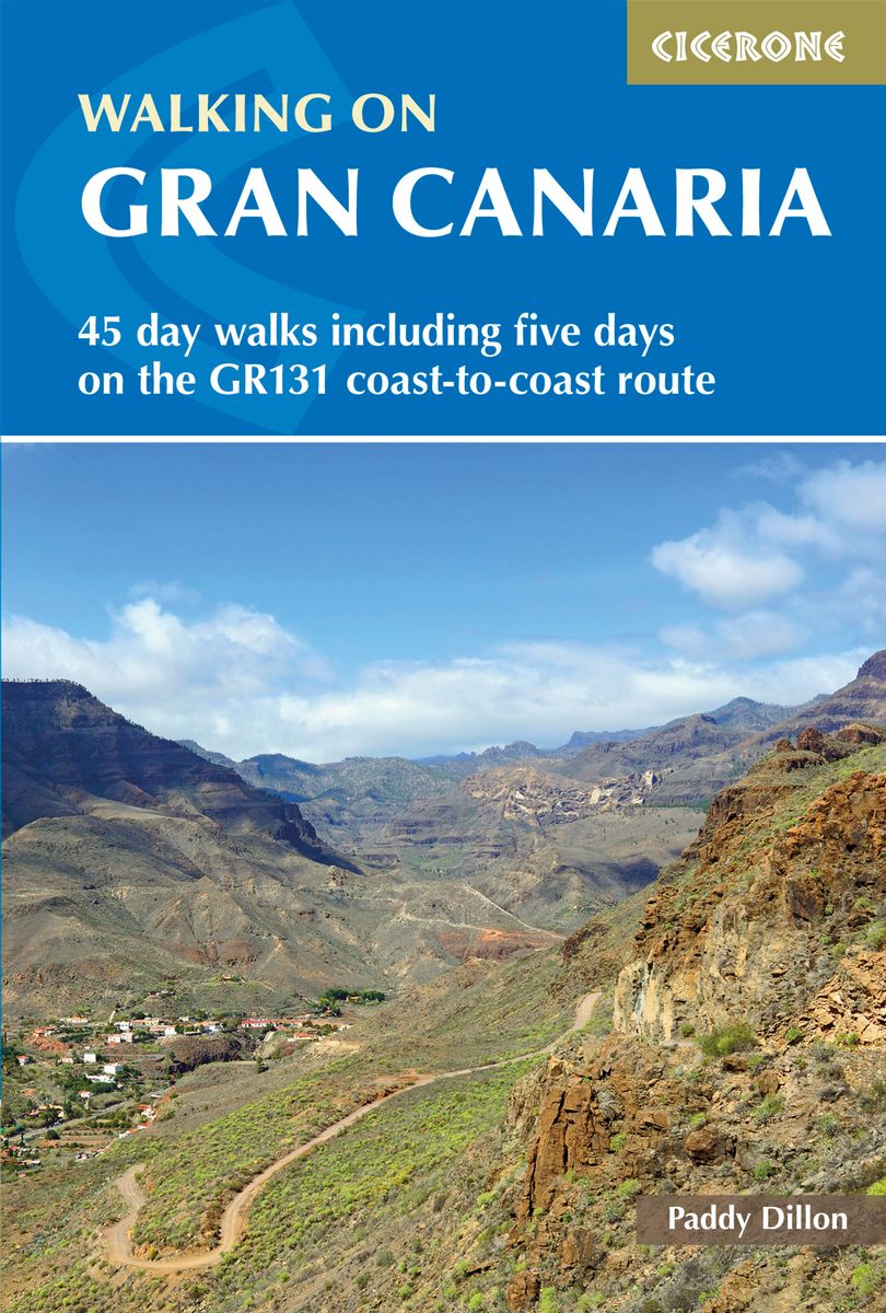
- Walking on Gran Canaria: 45 day walks including five days on the GR131 coast-to-coast route
- The guidebook describes 45 day walks across eight areas of Gran Canaria, including Las Palmas in the north to Playa del Ingles in the south. Also included is a five-day coast-to-coast route on the GR131, an island-hopping long-distance trail stretching across all seven of the Canary Islands. There are walks suitable for those of all abilities,... Read more
- Also available from:
- The Book Depository, United Kingdom
- De Zwerver, Netherlands

United Kingdom
2020
- Walking on Gran Canaria
- 45 day walks including five days on the GR131 coast-to-coast route Read more
Netherlands
2020
- Wandelgids Walking on Gran Canaria | Cicerone
- Guidebook describing 45 day walks on Gran Canaria, generally averaging 10 to 12km each. A long-distance coast-to-coast route on the GR131 is included, and shorter walks can be linked to form longer itineraries. One of the larger Canary Islands, Gran Canaria is a popular destination but offers many peaceful, rural areas perfect for walking. Read more

United Kingdom
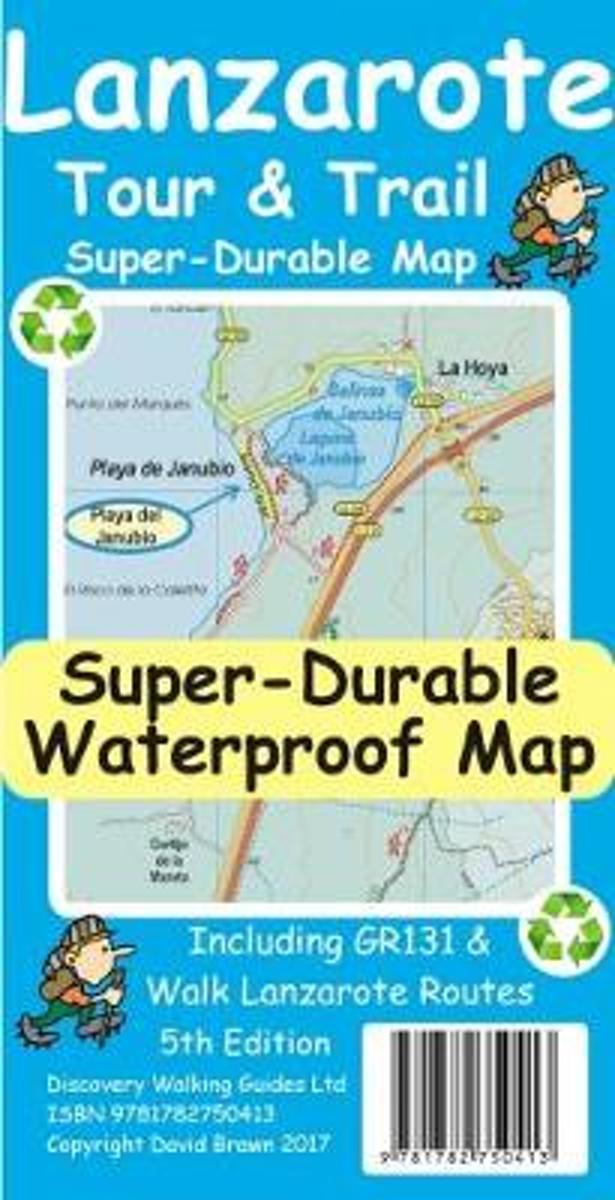
- Lanzarote Tour & Trail Super-Durable Map
- Lanzarote Tour & Trail Super-Durable Map 5th edition covers this big island at a scale of 1:40,000 resulting in the most detailed and toughest map of Lanzarote that you can buy. Large 960mm by 700mm double sided map sheet with generous overlap, to reduce turning the map in use, folds to 235mm by 120mm pocket size using our special `concertina... Read more
- Also available from:
- Bol.com, Netherlands
- Bol.com, Belgium
Netherlands
- Lanzarote Tour & Trail Super-Durable Map
- This map is being replaced by a new 4th edition published on 9 May 2016 ISBN 9781782750277. Lanzarote Tour & Trail Map 3rd edition Super-Durable version covers this big island at a scale of 1:40,000 resulting in the most detailed and toughest map of Lanzarote that you can buy. All the country walking routes from our new 3rd edition of Walk!... Read more

Belgium
- Lanzarote Tour & Trail Super-Durable Map
- This map is being replaced by a new 4th edition published on 9 May 2016 ISBN 9781782750277. Lanzarote Tour & Trail Map 3rd edition Super-Durable version covers this big island at a scale of 1:40,000 resulting in the most detailed and toughest map of Lanzarote that you can buy. All the country walking routes from our new 3rd edition of Walk!... Read more
Maps

United Kingdom
- El Roque 25K Fuerteventura CNIG Topographic Survey Map No. 1086-I
- Topographic coverage of the Canary Islands at 1:25,000 published by the Instituto Geográfico Nacional – Centro Nacional de Información Geografica, the country’s civilian survey organization. The maps have contours at 10m intervals and colouring and/or graphics to show different types of vegetation or land use. Boundaries of national parks and... Read more

United Kingdom
- Pajara 25K Fuerteventura CNIG Topographic Survey Map No. 1093-III/IV
- Topographic coverage of the Canary Islands at 1:25,000 published by the Instituto Geográfico Nacional – Centro Nacional de Información Geografica, the country’s civilian survey organization. The maps have contours at 10m intervals and colouring and/or graphics to show different types of vegetation or land use. Boundaries of national parks and... Read more

United Kingdom
- El Castillo CNIG Topo 1094
- El Castillo area of Fuerteventura, map No. 1094 in the topographic coverage of the Canary Islands at 1:50,000 from the Instituto Geográfico Nacional - Centro Nacional de Información Geograficá, Spain’s civilian survey organization. Maps in the MTN50 (Mapa Topográfico Nacional) series begun in late 1990s have contours at 20m intervals enhanced... Read more

United Kingdom
- Corralejo 25K Fuerteventura CNIG Topographic Survey Map No. 1086-II
- Topographic coverage of the Canary Islands at 1:25,000 published by the Instituto Geográfico Nacional – Centro Nacional de Información Geografica, the country’s civilian survey organization. The maps have contours at 10m intervals and colouring and/or graphics to show different types of vegetation or land use. Boundaries of national parks and... Read more

United Kingdom
- El Castillo 25K Fuerteventura CNIG Topographic Survey Map No. 1094-I
- Topographic coverage of the Canary Islands at 1:25,000 published by the Instituto Geográfico Nacional – Centro Nacional de Información Geografica, the country’s civilian survey organization. The maps have contours at 10m intervals and colouring and/or graphics to show different types of vegetation or land use. Boundaries of national parks and... Read more

United Kingdom
- Gran Canaria
- Gran Canaria, Las Palmas and the island’s main resorts on a clear and informative, waterproof and tear-resistant map from Berndtson, with both the road map and the street plans indexed and highlighting the island’s 15 top rated sites and other places of interest, as well as providing general tourist information. On one side a map at 1:100,000... Read more

United Kingdom
- Morro Jable CNIG Topo 1099
- Morro Jable area of Fuerteventura, map No. 1099 in the topographic coverage of the Canary Islands at 1:50,000 from the Instituto Geográfico Nacional - Centro Nacional de Información Geograficá, Spain’s civilian survey organization. Maps in the MTN50 (Mapa Topográfico Nacional) series begun in late 1990s have contours at 20m intervals enhanced... Read more

United Kingdom
- Gran Tarajal CNIG Topo 1100
- Gran Tarajal area of Fuerteventura, map No. 1100 in the topographic coverage of the Canary Islands at 1:50,000 from the Instituto Geográfico Nacional - Centro Nacional de Información Geograficá, Spain’s civilian survey organization. Maps in the MTN50 (Mapa Topográfico Nacional) series begun in late 1990s have contours at 20m intervals enhanced... Read more

United Kingdom
- El Cotillo CNIG Topo 1086-3
- Topographic coverage of the Canary Islands at 1:25,000 published by the Instituto Geográfico Nacional – Centro Nacional de Información Geografica, the country’s civilian survey organization. The maps have contours at 10m intervals and colouring and/or graphics to show different types of vegetation or land use. Boundaries of national parks and... Read more

United Kingdom
- Tuineje 25K Fuerteventura CNIG Topographic Survey Map No. 1094-III/1093-IV
- Topographic coverage of the Canary Islands at 1:25,000 published by the Instituto Geográfico Nacional – Centro Nacional de Información Geografica, the country’s civilian survey organization. The maps have contours at 10m intervals and colouring and/or graphics to show different types of vegetation or land use. Boundaries of national parks and... Read more

United Kingdom
- Canary Islands East: Gran Canaria, Fuerteventura, Lanzarote 500K CNIG Regional Map No.
- Eastern Canary Islands (Gran Canaria, Fuerteventure and Lanzarote) at 1:500,000 in a series of regional road map of Spain from the country’s civilian survey organization IGN-CNIG (Instituto Geográfico Nacional - Centro Nacional de Información Geográfica), vividly presenting the topography by altitude colouring, boundaries of national/natural... Read more

United Kingdom
- La Oliva 25K Fuerteventura CNIG Topographic Survey Map No. 1086-IV
- Topographic coverage of the Canary Islands at 1:25,000 published by the Instituto Geográfico Nacional – Centro Nacional de Información Geografica, the country’s civilian survey organization. The maps have contours at 10m intervals and colouring and/or graphics to show different types of vegetation or land use. Boundaries of national parks and... Read more

United Kingdom
- Punta de Jandia 25K Fuerteventura CNIG Topographic Survey Map No. 1099-III
- Topographic coverage of the Canary Islands at 1:25,000 published by the Instituto Geográfico Nacional – Centro Nacional de Información Geografica, the country’s civilian survey organization. The maps have contours at 10m intervals and colouring and/or graphics to show different types of vegetation or land use. Boundaries of national parks and... Read more

United Kingdom
- Tindaya 25K Fuerteventura CNIG Topographic Survey Map No. 1090-I
- Topographic coverage of the Canary Islands at 1:25,000 published by the Instituto Geográfico Nacional – Centro Nacional de Información Geografica, the country’s civilian survey organization. The maps have contours at 10m intervals and colouring and/or graphics to show different types of vegetation or land use. Boundaries of national parks and... Read more

United Kingdom
- Los Verodes 25K Fuerteventura CNIG Topographic Survey Map No. 1099-II
- Topographic coverage of the Canary Islands at 1:25,000 published by the Instituto Geográfico Nacional – Centro Nacional de Información Geografica, the country’s civilian survey organization. The maps have contours at 10m intervals and colouring and/or graphics to show different types of vegetation or land use. Boundaries of national parks and... Read more


