
Islas Canarias
Description

Located off the coast of Northwest Africa in the Atlantic, the volcanic Canary Islands are in fact a Spanish archipelago consisting of seven islands (Tenerife, Gran Canaria, Fuerteventura, La Palma, Lanzarote, El Hierro, La Gomera) and the Chinijo Archipelago of which only the island of La Graciosa is inhabited. Each of these exotic islands has its own distinctive character.
The large island of Tenerife offers breathtaking hiking, for instance up the Teide (3718 m). But there are many other trails, both marked and unmarked. Try the much greener island of La Gomera, famous among hikers, or the spectacular trails around the Caldera de Taburiente on the larger island of La Palma. These three islands, including El Hierro and Fuerteventura, have the best developed trail system, including multi-day GR’s, circular trails and smaller local routes. They are usually marked, and indicated on maps or in guides. Nevertheless you can easily get lost, in mist for example.
The trail system on the other islands - Gran Canaria, Lanzarote - is lagging behind, but also these islands offer some great hiking across stunning volcanic terrain.
The Canary Islands can be visited all year round. To avoid the heat, travel between November and May. These months bring more rain, but still in modest quantities. Your boots should give your ankles support. The islands get crowded in tourist season with beach lovers.
Here's a list of islands, in order of size:
- Tenerife, 2.034 km2: superb walking in the immense caldera, highest volcano: El Teide, excellent trail network
- Fuerteventura, 1.660 km2: exotic and arid island, great trail (GR131), unique nature, great in winter
- Gran Canaria, 1.560 km2: day hikes into the rugged mountain interior
- Lanzarote, 846 km2: day hikes in the interior
- La Palma, 708 km2: excellent hiking, coastal GR and one crossing the impressive crater in the center of the island, laurel forests in the north, excellent trail network
- La Gomera, 370 km2: world famous lush laurel forests in the moist centre, popular with hikers, excellent trail network
- El Hierro, 268 km2: dramatic eroded coastline, good hike over central ridge
- La Graciosa, 29 km2: feel alone on a small ocean island, linger over lava fields and climb pumice cones
Map

Trails in this region
Links
Facts
Reports
Guides and maps
Lodging
Organisations
Tour operators
GPS
Other
Books

United Kingdom
- La Palma - Caldera de Taburiente 2-Map Set Editorial Alpina
- This set of 2 maps covers the island of La Palma in the Canary Islands at 1/25 000 (1cm = 250m) and includes all the hiking trails. Also includes the route of the ten most beautiful walks and 7 marked mountain biking itineraries as well as many points of interest. Read more

United Kingdom
2016
- Tenerife Sunflower Landscape Guide
- Based on Puerto de la Cruz, this book is the best choice for those staying in the north of Tenerife: it features car tours all over the island and walks in the Orotava Valley, Las Canadas, and the Teno and Anaga peninsulas. (For walks in the south of Tenerife, see Landscapes of La Gomera and Southern Tenerife). Key features: - 65 long and... Read more

United Kingdom
- Garajonay National Park - Gomera CNIG Map-Guide SPANISH
- La Gomera, including the Garajonay National Park, at 1:25,000 on a contoured and GPS compatible map from IGN/CNIG with cartography from their topographic survey of Spain. The map is accompanied by a Spanish language guide with descriptions of walks, contact details for recommended accommodation, etc. The map has contours at 10m intervals... Read more
United Kingdom
- Garajonay National Park - Gomera CNIG Map-Guide ENGLISH
- La Gomera, including the Garajonay National Park, at 1:25,000 on a contoured and GPS compatible map from IGN/CNIG with cartography from their topographic survey of Spain. The map is accompanied by a 76-page English language guide with descriptions of walks, contact details for recommended accommodation, etc. The map has contours at 10m... Read more

United Kingdom
2015
- La Palma GERMAN
- This Rother Walking Guide to La Palma (ALL TEXT IS IN GERMAN), presents the hiker with 64 varied and entertaining tour suggestions incorporating every region on the island - the guide includes 112 colour photos and colour hiking maps at 1:50.000 or 1:100,000 scale, and an overview map for general planning at 1:250,000. From physically demanding... Read more

United Kingdom
2016
- La Gomera and Southern Tenerife: Car Tours and Walks
- This guide – two books in one – is the ideal countryside companion for those staying either on La Gomera or in the south of Tenerife — or those enjoying a two-centre holiday.For La Gomera the book describes 2 car tours (with accompanying touring map), 50+ long and short walks (each with 1:50,000 topo map) and 18 picnic suggestions. For Tenerife... Read more

United Kingdom
2019
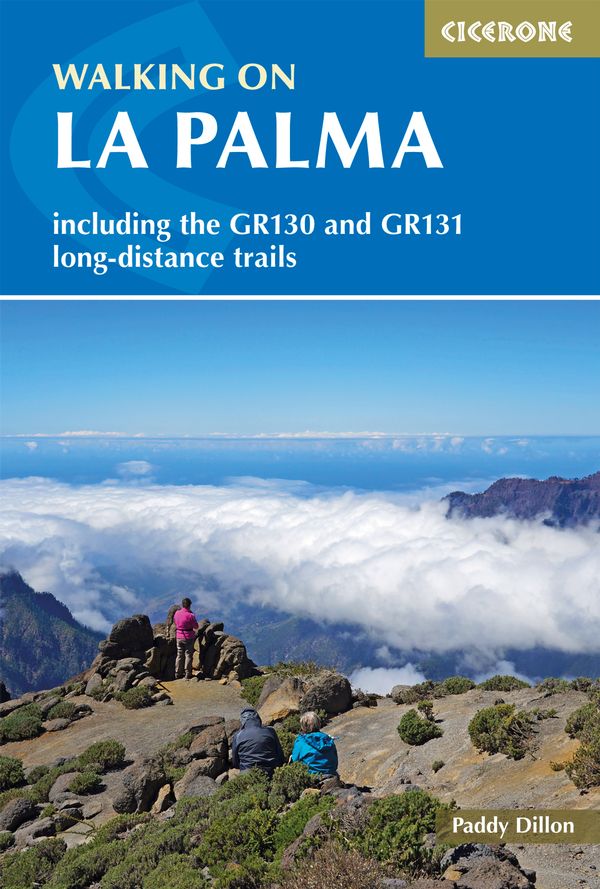
- Walking on La Palma
- Including the GR130 and GR131 long-distance trails Read more
- Also available from:
- De Zwerver, Netherlands
Netherlands
2019
- Wandelgids Walking on La Palma | Cicerone
- Guidebook to 45 walks and scrambles on La Palma in the Canary Islands, ranging from 7 to 31km. Some walks combine to complete the GR130 long-distance trail (eight days) and GR131 trail (three days). Areas explored include Santa Cruz and Buenavista. Contains a Spanish-English glossary. Read more

United Kingdom
2022
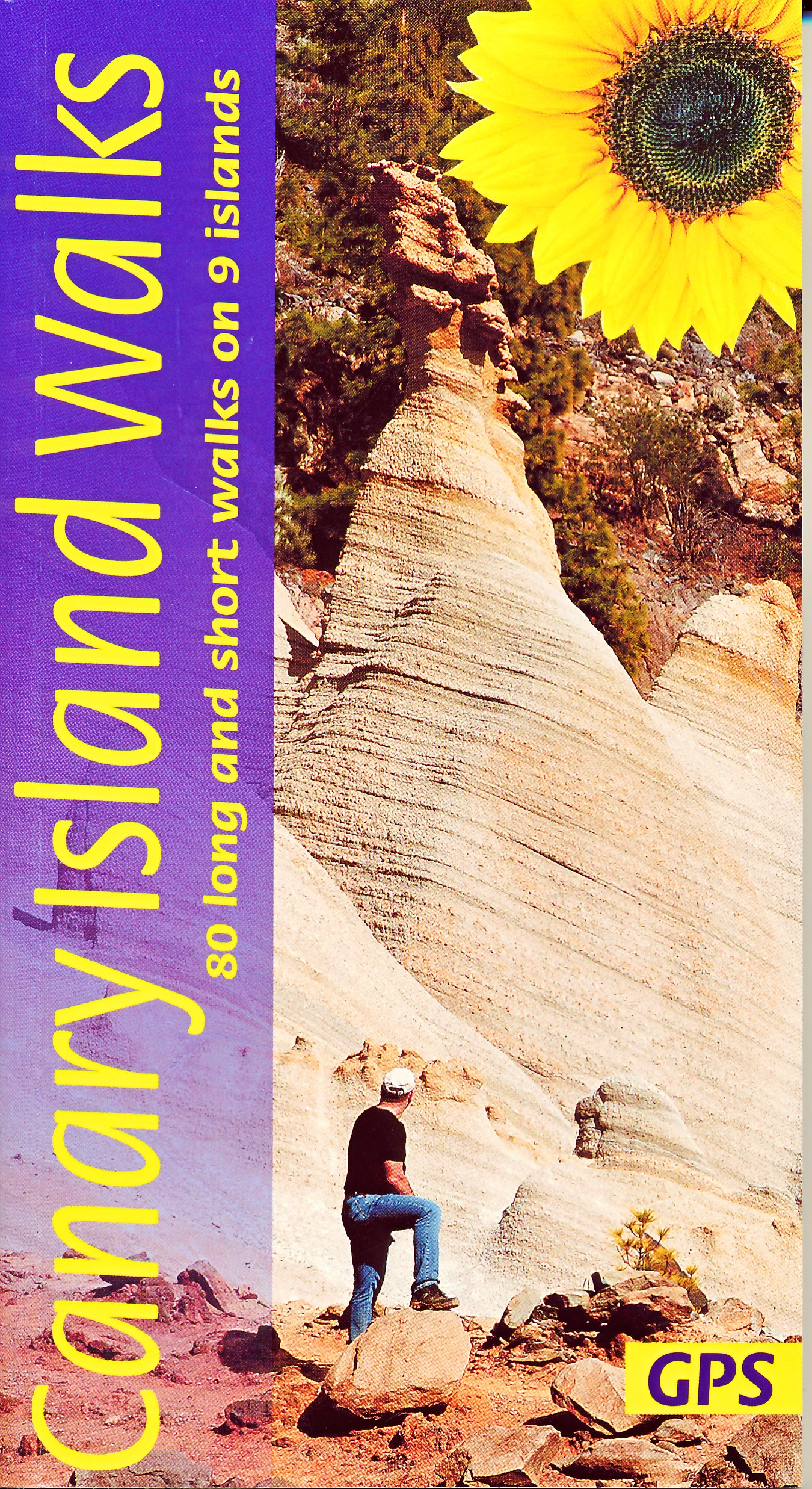
- Canary Islands Walks Sunflower Guide: 90 long and short walks on the Canary Islands
- The go-to travel guide for discovering the best walks on the Canary Islands; Strap on your boots and discover the Canary Islands on foot with the Sunflower Canary Islands Walks travel guide. The Sunflower Canary Islands Walks guide is indispensable for walking and hiking on all 7 Canary Islands - Tenerife, Gran Canaria, Lanzarote,... Read more
- Also available from:
- The Book Depository, United Kingdom
- De Zwerver, Netherlands

United Kingdom
2022
- Canary Islands Walks Sunflower Guide
- 80 long and short walks on the Canary Islands Read more
Netherlands
2022
- Wandelgids Canary Islands Walks | Sunflower books
- The go-to travel guide for discovering the best walks on the Canary Islands; Strap on your boots and discover the Canary Islands on foot with the Sunflower Canary Islands Walks travel guide. The Sunflower Canary Islands Walks guide is indispensable for walking and hiking on all 7 Canary Islands - Tenerife, Gran Canaria, Lanzarote,... Read more

United Kingdom

United Kingdom
2019
- Trekking in the Canary Islands: The GR131 island-hopping route
- This guidebook provides a comprehensive and detailed description of the GR131, an island-hopping trail across the seven Canary Islands. The 560km (348 mile) route begins on Lanzarote and finishes on El Hierro and is presented in 32 daily stages. The route is well waymarked but some navigational skills are required, and the remote and occasional... Read more
- Also available from:
- The Book Depository, United Kingdom
- De Zwerver, Netherlands

United Kingdom
2019
- Trekking in the Canary Islands
- The GR131 island-hopping route Read more

Netherlands
2019
- Wandelgids Trekking in the Canary Islands: The GR131 Island Hopping Route | Cicerone
- Guidebook to the GR131, an island-hopping trail that runs coast to coast across each of the 7 Canary Islands, a sub-tropical Spanish archipelago. Described over 32 stages, the route begins on Lanzarote, finishes on El Hierro, measures 560km (348 miles) and would take an average trekker about 1 month to complete. Read more

United Kingdom
2020
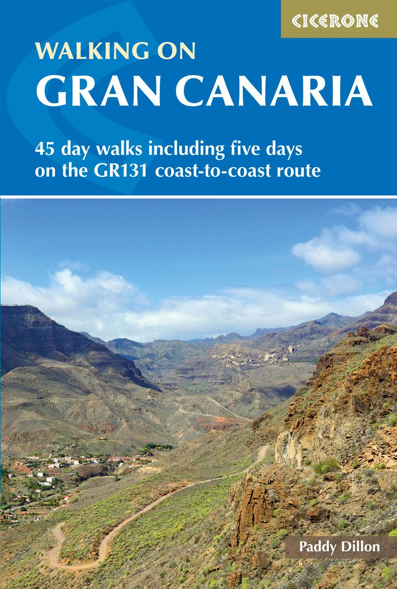
- Walking on Gran Canaria
- 45 day walks including five days on the GR131 coast-to-coast route Read more
- Also available from:
- De Zwerver, Netherlands
Netherlands
2020
- Wandelgids Walking on Gran Canaria | Cicerone
- Guidebook describing 45 day walks on Gran Canaria, generally averaging 10 to 12km each. A long-distance coast-to-coast route on the GR131 is included, and shorter walks can be linked to form longer itineraries. One of the larger Canary Islands, Gran Canaria is a popular destination but offers many peaceful, rural areas perfect for walking. Read more

- Also available from:
- De Zwerver, Netherlands
Netherlands
2018

United Kingdom
2023
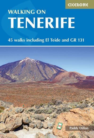
- Walking on Tenerife
- 45 walks including El Teide and GR 131 Read more
- Also available from:
- De Zwerver, Netherlands
Netherlands
2023
- Wandelgids Walking on Tenerife | Cicerone
- 45 walks including El Teide and GR 131 Read more

United Kingdom
2020
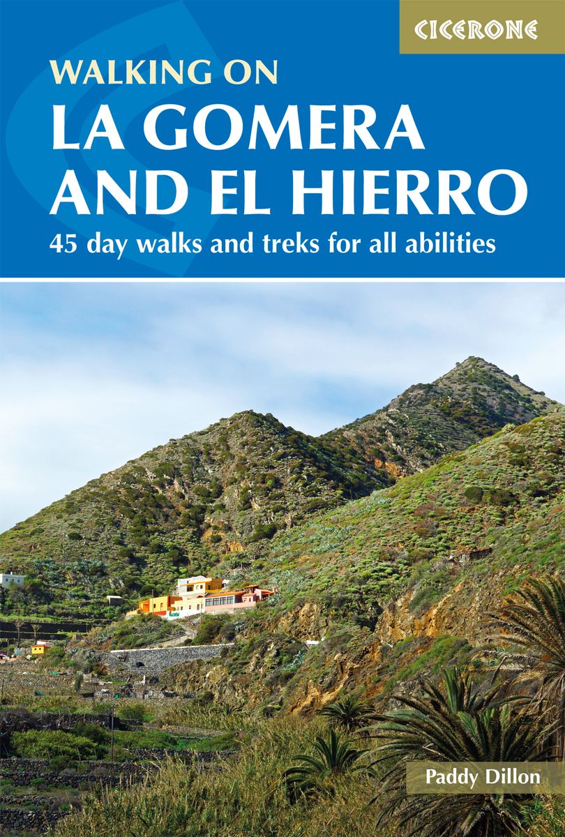
- Walking on La Gomera and El Hierro
- 45 day walks and treks for all abilities Read more
- Also available from:
- De Zwerver, Netherlands

United Kingdom
- La Gomera walking guide 66 walks 2017
- The Finest Valley and Mountain Walks - ROTH.E4823 Read more
Maps

United Kingdom
- Las Palmas de Gran Canaria CNIG Topo 1098
- Las Palmas de Gran Canaria, map No. 1098 in the topographic coverage of the Canary Islands at 1:50,000 from the Instituto Geográfico Nacional - Centro Nacional de Información Geograficá, Spain’s civilian survey organization. Maps in the MTN50 (Mapa Topográfico Nacional) series begun in late 1990s have contours at 20m intervals enhanced by... Read more

United Kingdom
- Canary Islands East: Gran Canaria, Fuerteventura, Lanzarote 500K CNIG Regional Map No.
- Eastern Canary Islands (Gran Canaria, Fuerteventure and Lanzarote) at 1:500,000 in a series of regional road map of Spain from the country’s civilian survey organization IGN-CNIG (Instituto Geográfico Nacional - Centro Nacional de Información Geográfica), vividly presenting the topography by altitude colouring, boundaries of national/natural... Read more
United Kingdom
- Telde CNIG Topo 1104
- Telde area of Gran Canaria, map No. 1104 in the topographic coverage of the Canary Islands at 1:50,000 from the Instituto Geográfico Nacional - Centro Nacional de Información Geograficá, Spain’s civilian survey organization. Maps in the MTN50 (Mapa Topográfico Nacional) series begun in late 1990s have contours at 20m intervals enhanced by... Read more

United Kingdom
- Tegueste CNIG Topo 1088-2
- Topographic coverage of the Canary Islands at 1:25,000 published by the Instituto Geográfico Nacional – Centro Nacional de Información Geografica, the country’s civilian survey organization. The maps have contours at 10m intervals and colouring and/or graphics to show different types of vegetation or land use. Boundaries of national parks and... Read more
United Kingdom
- Timanfaya 25K Lanzarote CNIG Topographic Survey Map No. 1081-III
- Topographic coverage of the Canary Islands at 1:25,000 published by the Instituto Geográfico Nacional – Centro Nacional de Información Geografica, the country’s civilian survey organization. The maps have contours at 10m intervals and colouring and/or graphics to show different types of vegetation or land use. Boundaries of national parks and... Read more
United Kingdom
- Fasnia CNIG Topo 1097-1/2
- Topographic coverage of the Canary Islands at 1:25,000 published by the Instituto Geográfico Nacional – Centro Nacional de Información Geografica, the country’s civilian survey organization. The maps have contours at 10m intervals and colouring and/or graphics to show different types of vegetation or land use. Boundaries of national parks and... Read more
United Kingdom
- Izaña - Tenerife CNIG Topo 1092-3
- Topographic coverage of the Canary Islands at 1:25,000 published by the Instituto Geográfico Nacional – Centro Nacional de Información Geografica, the country’s civilian survey organization. The maps have contours at 10m intervals and colouring and/or graphics to show different types of vegetation or land use. Boundaries of national parks and... Read more
United Kingdom
- Tetir 25K Fuerteventura CNIG Topographic Survey Map No. 1090-II
- Topographic coverage of the Canary Islands at 1:25,000 published by the Instituto Geográfico Nacional – Centro Nacional de Información Geografica, the country’s civilian survey organization. The maps have contours at 10m intervals and colouring and/or graphics to show different types of vegetation or land use. Boundaries of national parks and... Read more

United Kingdom
- Gran Canaria
- Gran Canaria, Las Palmas and the island’s main resorts on a clear and informative, waterproof and tear-resistant map from Berndtson, with both the road map and the street plans indexed and highlighting the island’s 15 top rated sites and other places of interest, as well as providing general tourist information. On one side a map at 1:100,000... Read more
United Kingdom
- Gran Tarajal 25K Spain CNIG Topographic Survey Map No. 1100-II
- Topographic coverage of the Canary Islands at 1:25,000 published by the Instituto Geográfico Nacional – Centro Nacional de Información Geografica, the country’s civilian survey organization. The maps have contours at 10m intervals and colouring and/or graphics to show different types of vegetation or land use. Boundaries of national parks and... Read more
United Kingdom
- El Tablero 25K Gran Canaria CNIG Topographic Survey Map No. 1107-III
- Topographic coverage of the Canary Islands at 1:25,000 published by the Instituto Geográfico Nacional – Centro Nacional de Información Geografica, the country’s civilian survey organization. The maps have contours at 10m intervals and colouring and/or graphics to show different types of vegetation or land use. Boundaries of national parks and... Read more
United Kingdom
- Vega de San Mateo CNIG Topo 1104-3
- Topographic coverage of the Canary Islands at 1:25,000 published by the Instituto Geográfico Nacional – Centro Nacional de Información Geografica, the country’s civilian survey organization. The maps have contours at 10m intervals and colouring and/or graphics to show different types of vegetation or land use. Boundaries of national parks and... Read more
United Kingdom
- Soo 25K Lanzarote CNIG Topographic Survey Map No. 1080-III
- Topographic coverage of the Canary Islands at 1:25,000 published by the Instituto Geográfico Nacional – Centro Nacional de Información Geografica, the country’s civilian survey organization. The maps have contours at 10m intervals and colouring and/or graphics to show different types of vegetation or land use. Boundaries of national parks and... Read more
United Kingdom
- El Pueblo 25K La Palma CNIG Topographic Survey Map No. 1085-III/IV
- Topographic coverage of the Canary Islands at 1:25,000 published by the Instituto Geográfico Nacional – Centro Nacional de Información Geografica, the country’s civilian survey organization. The maps have contours at 10m intervals and colouring and/or graphics to show different types of vegetation or land use. Boundaries of national parks and... Read more
United Kingdom
- Vallehermoso 25K La Gomera CNIG Topographic Survey Map No. 1095-III
- Topographic coverage of the Canary Islands at 1:25,000 published by the Instituto Geográfico Nacional – Centro Nacional de Información Geografica, the country’s civilian survey organization. The maps have contours at 10m intervals and colouring and/or graphics to show different types of vegetation or land use. Boundaries of national parks and... Read more