
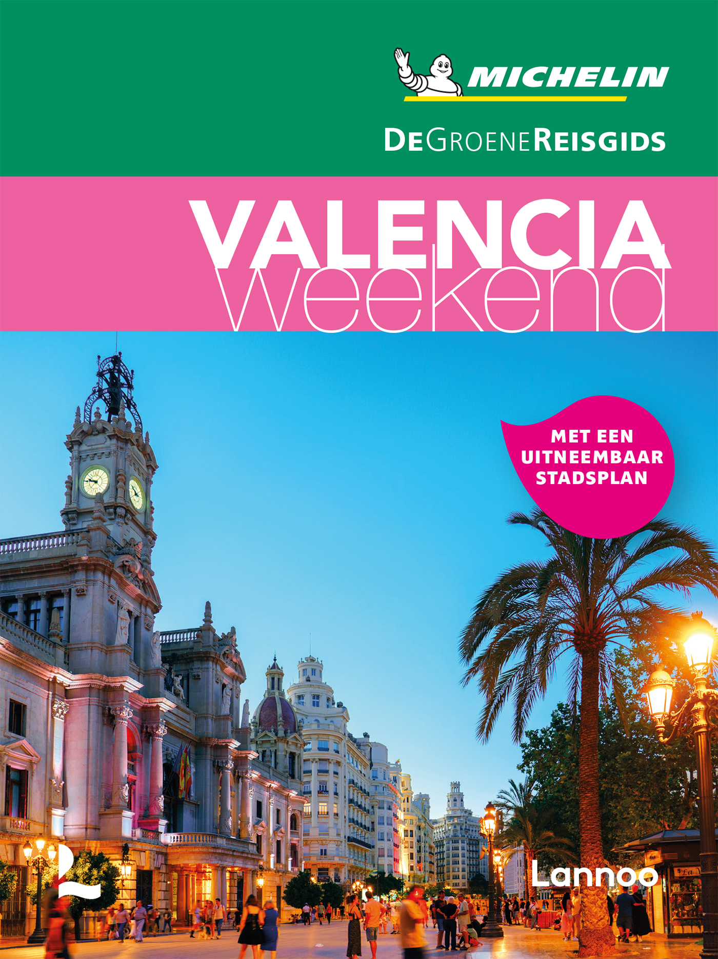
Valencia
Description
Autonomous region in the east of Spain, bordering the Mediterranean.
Trails in this state
Links
Facts
Reports
Guides and maps
Lodging
Organisations
Tour operators
GPS
Other
Books

The Book Depository
United Kingdom
United Kingdom

Bol.com
Netherlands
Netherlands
- Iberian Rail
- This is the second part of a survey of Iberian railways and tramways in 1963, when the author and his friend Larry Veysey and I made a long circular tour of the Peninsula. In 1963 the traditional tramways were large and busy, though already in the sights of modernizing bureaucrats. The broad-gauge national RENFE and most independent railways... Read more
- Also available from:
- Bol.com, Belgium
Bol.com
Belgium
Belgium
- Iberian Rail
- This is the second part of a survey of Iberian railways and tramways in 1963, when the author and his friend Larry Veysey and I made a long circular tour of the Peninsula. In 1963 the traditional tramways were large and busy, though already in the sights of modernizing bureaucrats. The broad-gauge national RENFE and most independent railways... Read more
De Zwerver
Netherlands
2020
Netherlands
2020
Bol.com
Netherlands
Netherlands
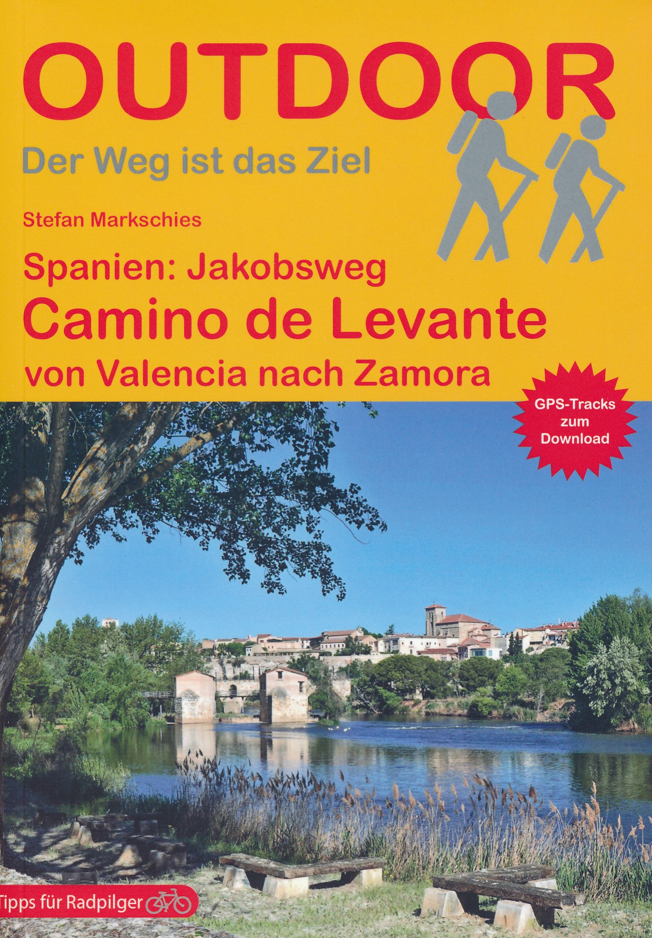
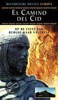
- El Camino Del Cid
- In deze fietsgids volt de lezer het spoor van de legendarische Rodrigo Diaz de Vivar bijgenaamd El Cid: de route van de 1000 kilometer lange veldtocht tegen de moren in 1094 van Burgos naar Valencia. Opnieuw beleeft men de geschiedenis uit die tijd. Een heerlijke fietsroute met nauwelijks autoverkeer, maar wel met rust en ruimte, prachtige cols... Read more
- Also available from:
- Bol.com, Belgium
Bol.com
Belgium
Belgium
- El Camino Del Cid
- In deze fietsgids volt de lezer het spoor van de legendarische Rodrigo Diaz de Vivar bijgenaamd El Cid: de route van de 1000 kilometer lange veldtocht tegen de moren in 1094 van Burgos naar Valencia. Opnieuw beleeft men de geschiedenis uit die tijd. Een heerlijke fietsroute met nauwelijks autoverkeer, maar wel met rust en ruimte, prachtige cols... Read more

Stanfords
United Kingdom
2018
United Kingdom
2018
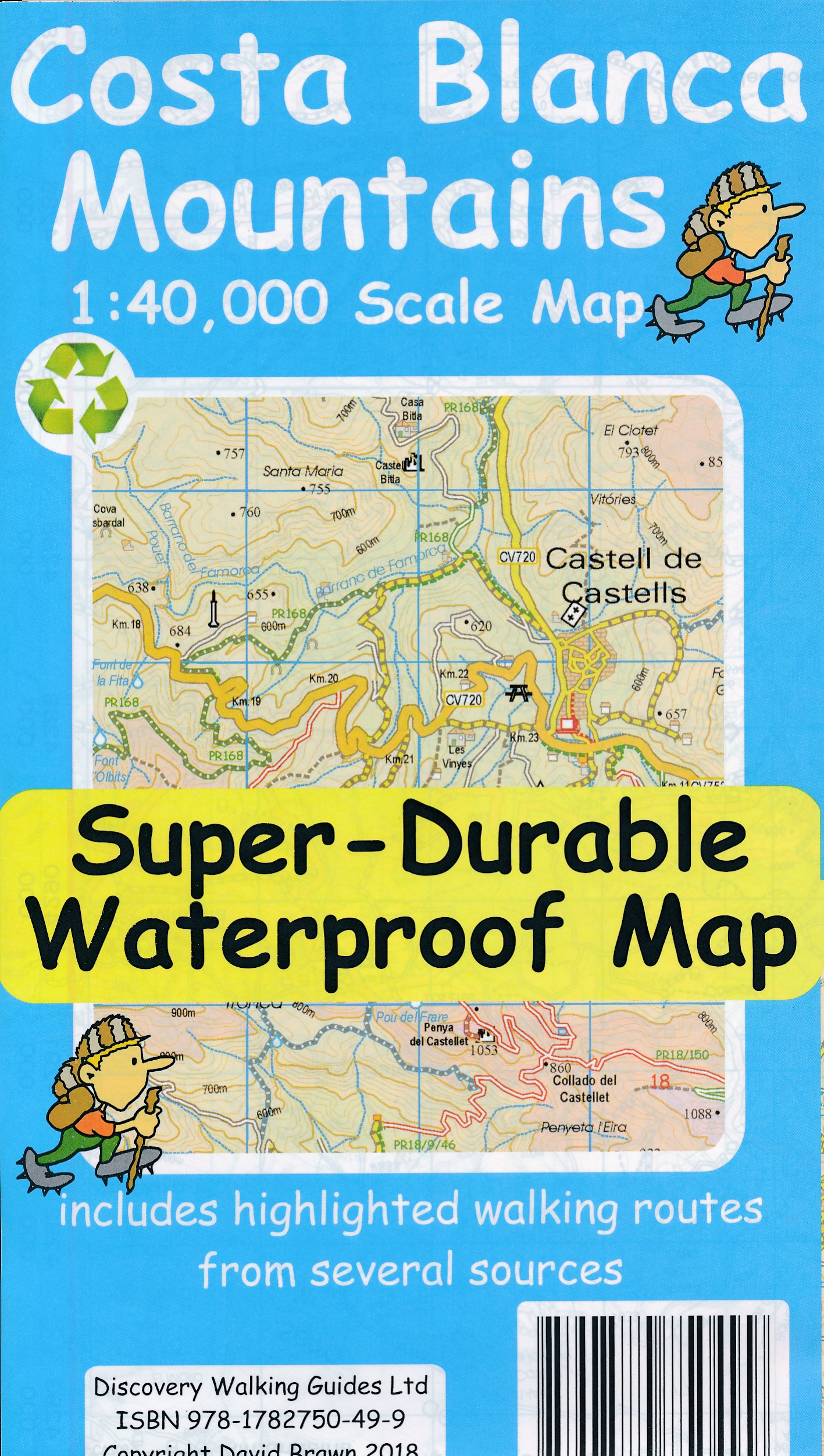
- Costa Blanca Mountains Super-Durable Map
- Costa Blanca Mountains at 1:40,000 on a double-sided, GPS compatible map from Discovery Walking Guides, with hiking routes and tourist information shown on detailed topographic mapping which provides an excellent presentation of the terrain. The map is printed on light, waterproof and tear-resistant synthetic paper and covers the mountainous... Read more
- Also available from:
- De Zwerver, Netherlands
De Zwerver
Netherlands
2018
Netherlands
2018
- Wandelkaart Tour & Trail Costa Blanca mountains | Discovery Walking Guides
- Costa Blanca Mountains at 1:40,000 on a double-sided, GPS compatible map from Discovery Walking Guides, with hiking routes and tourist information shown on detailed topographic mapping which provides an excellent presentation of the terrain. The map is printed on light, waterproof and tear-resistant synthetic paper and covers the mountainous... Read more

Stanfords
United Kingdom
2010
United Kingdom
2010
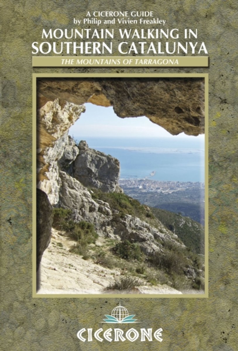
- Southern Catalunya Mountain Walking
- Mountain Walking in Southern Catalunya contains 30 route descriptions of walks in the Parc Natural dels Ports and the mountains of Tarragona, illustrated with basic overview maps and colour photographs. All walks are graded and non-technical, making them suitable for any experienced hill-walker.Information about local history, culture and... Read more
- Also available from:
- The Book Depository, United Kingdom
- Bol.com, Netherlands
- Bol.com, Belgium
- De Zwerver, Netherlands

The Book Depository
United Kingdom
2010
United Kingdom
2010
- Mountain Walking in Southern Catalunya
- Els Ports and the mountains of Tarragona Read more
Bol.com
Netherlands
2010
Netherlands
2010
- Mountain Walking in Southern Catalunya
- This handy guidebook describes 30 idyllic routes for mountain walkers of all abilities in Southern Catalunya, Spain. The routes offer varying terrain from limestone crags over fruit groves to coastal and river walks. It describes walks in three mountain areas around the River Ebre: the els Ports massif, Serra de Cardo and the Serra de Montsia. Read more
Bol.com
Belgium
2010
Belgium
2010
- Mountain Walking in Southern Catalunya
- This handy guidebook describes 30 idyllic routes for mountain walkers of all abilities in Southern Catalunya, Spain. The routes offer varying terrain from limestone crags over fruit groves to coastal and river walks. It describes walks in three mountain areas around the River Ebre: the els Ports massif, Serra de Cardo and the Serra de Montsia. Read more
De Zwerver
Netherlands
2010
Netherlands
2010
- Wandelgids Mountain Walking in Southern Catalunya | Cicerone
- This handy guidebook describes 30 idyllic routes for mountain walkers of all abilities in Southern Catalunya, Spain. The routes offer varying terrain from limestone crags over fruit groves to coastal and river walks. It describes walks in three mountain areas around the River Ebre: the els Ports massif, Serra de Cardo and the Serra de Montsia. Read more
Bol.com
Netherlands
Netherlands
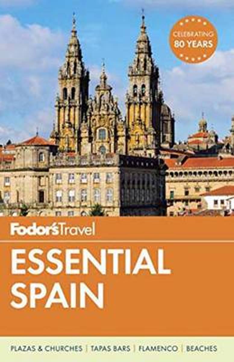
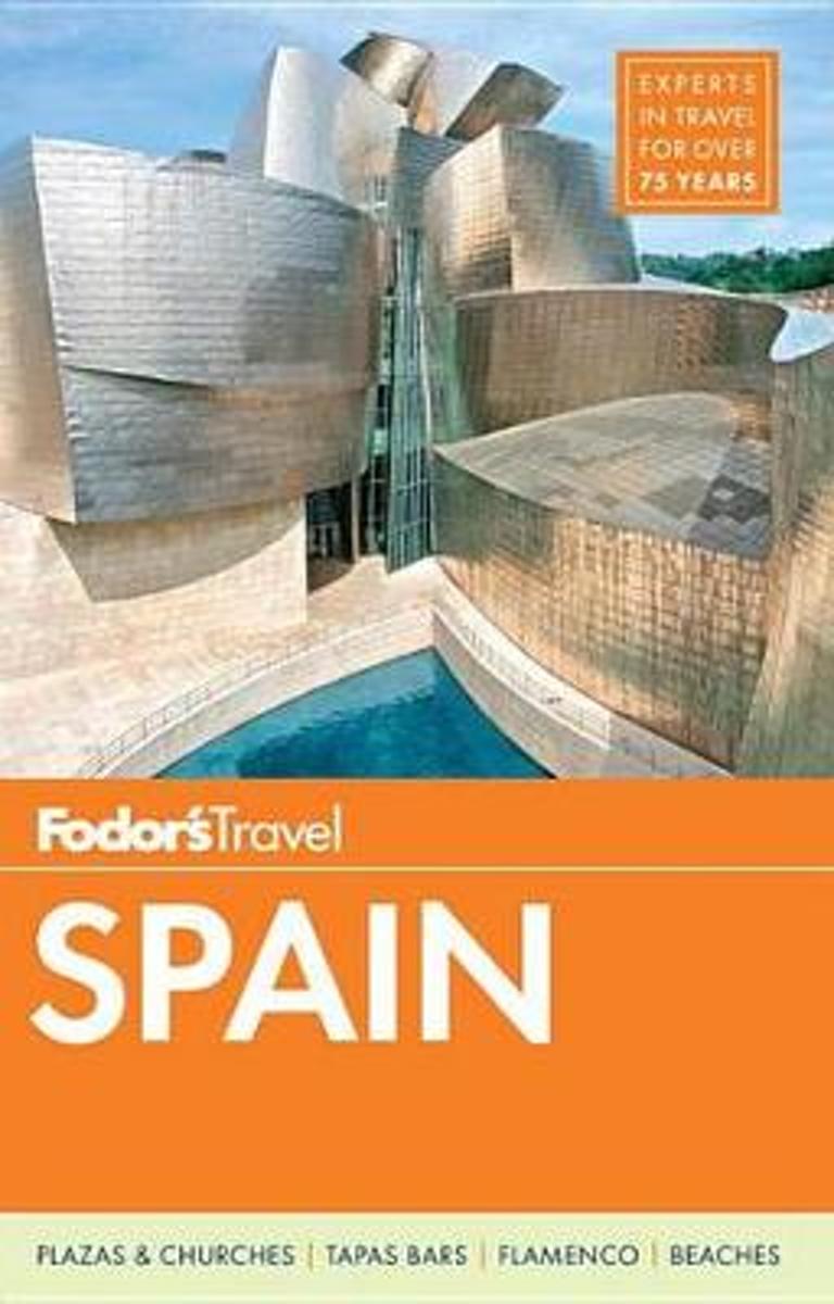
- Fodor's Essential Spain
- Written by locals, Fodor's travel guides have been offering expert advice for all tastes and budgets for 80 years. Spain remains one of the world's most popular tourist destinations for its cutting-edge cuisine and superior wine, festivals like the running of the bulls in Pamplona, world-class museums like the Museo del Prado, amazing... Read more
- Also available from:
- Bol.com, Belgium
Bol.com
Belgium
Belgium
- Fodor's Essential Spain
- Written by locals, Fodor's travel guides have been offering expert advice for all tastes and budgets for 80 years. Spain remains one of the world's most popular tourist destinations for its cutting-edge cuisine and superior wine, festivals like the running of the bulls in Pamplona, world-class museums like the Museo del Prado, amazing... Read more

- Also available from:
- Bol.com, Belgium
Bol.com
Netherlands
Netherlands
- Fodor's Spain 2015
- Written by locals, Fodor's travel guides have been offering expert advice for all tastes and budgets for 80 years. Spain remains one of the world's most popular tourist destinations for its cutting-edge cuisine and superior wine, festivals like the running of the bulls in Pamplona, world-class museums like the Museo del Prado, amazing... Read more
- Also available from:
- Bol.com, Belgium
Bol.com
Belgium
Belgium
- Fodor's Spain 2015
- Written by locals, Fodor's travel guides have been offering expert advice for all tastes and budgets for 80 years. Spain remains one of the world's most popular tourist destinations for its cutting-edge cuisine and superior wine, festivals like the running of the bulls in Pamplona, world-class museums like the Museo del Prado, amazing... Read more
Maps
Stanfords
United Kingdom
United Kingdom
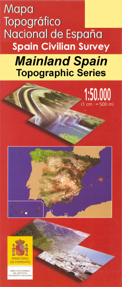
- Valencia CNIG Topo 722
- Topographic coverage of mainland Spain at 1:50,000 in the MTN50 (Mapa Topográfico Nacional) series from the Centro Nacional de Información Geografica, the country’s civilian survey organization. The maps have contours at 20m intervals, enhanced by relief shading, plus colouring and/or graphics to show different types of terrain, vegetation or... Read more

Stanfords
United Kingdom
United Kingdom
- Valencia de Alcantara CNIG Topo 701
- Topographic coverage of mainland Spain at 1:50,000 in the MTN50 (Mapa Topográfico Nacional) series from the Centro Nacional de Información Geografica, the country’s civilian survey organization. The maps have contours at 20m intervals, enhanced by relief shading, plus colouring and/or graphics to show different types of terrain, vegetation or... Read more

Stanfords
United Kingdom
United Kingdom
- Valencia - Alicante - Murcia 500K CNIG Regional Map No. 9
- The Mediterranean coast of Spain from north of Valencia to Costa Blanca and inland to include Sierras de Cazorla and Segura in north-eastern Andalucía, at 1:500,000 in a series of regional road maps from the country’s civilian survey organization IGN-CNIG (Instituto Geográfico Nacional - Centro Nacional de Información Geográfica), vividly... Read more

Stanfords
United Kingdom
United Kingdom
- M13 Denia to Barcelona and Ibiza
- Plans included: Denia (1:20,000) Valencia Harbour (1:30,000) Tarragona (1:25,000) Barcelona Harbour (1:65,000) San Antonio (Ibiza) (1:30,000) Read more

Stanfords
United Kingdom
United Kingdom
- 3220 Cabo de la Nao to the French border Chart Atlas - 2019 Edition
- A new chart atlas covering Mediterranean Spain from Cabo de la Nao to the French border. This appealing cruising area stretches from Jávea and Dénia in the south, past the low-lying Ebro delta to the charming towns along the rugged Costa Brava in the north. It includes the cities of Valencia, Tarragona and Barcelona. The 23 sheets in the atlas... Read more


Stanfords
United Kingdom
United Kingdom
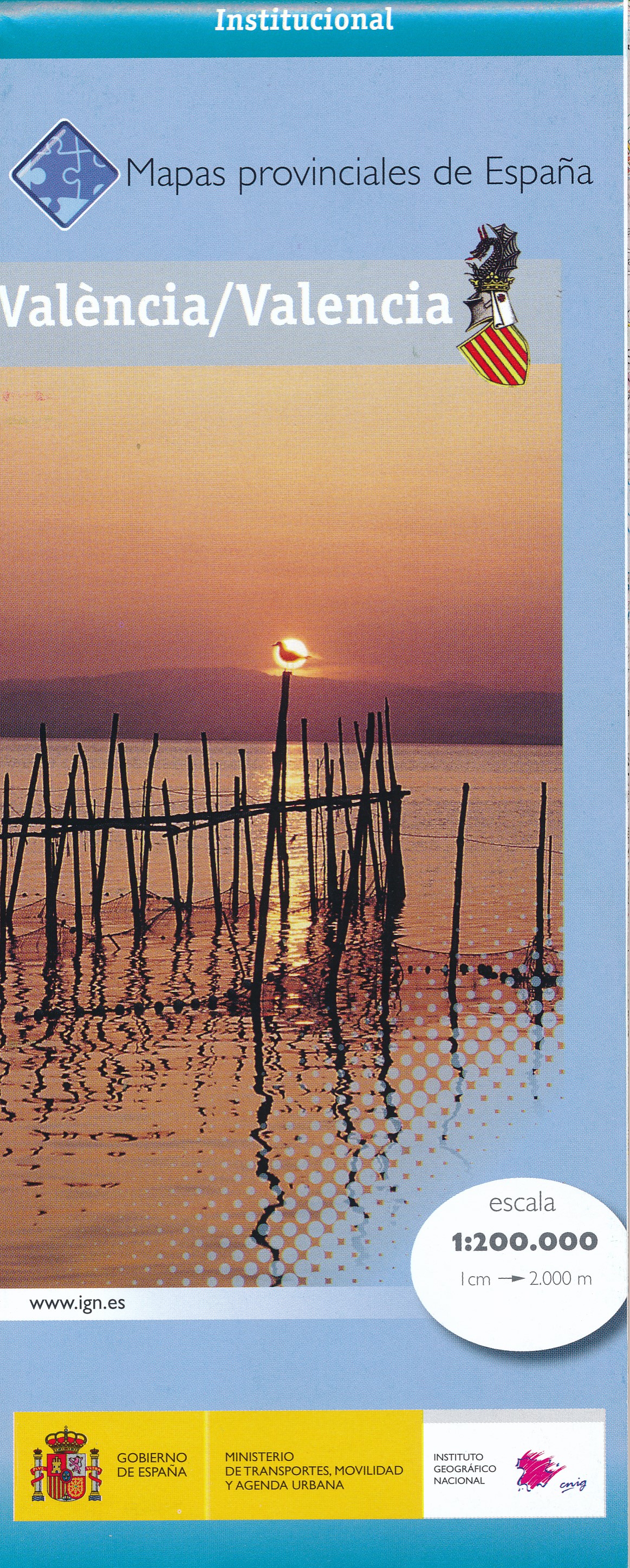
- Valencia Province 200K CNIG Map No. 45
- Contoured, GPS-compatible, indexed road map at 1:200,000 from CNIG - Spain’s civilian survey organization, with exceptionally informative presentation of the landscape and highlighting for facilities and places of interest including campsites and paradors.Maps in CNIG’s 200K Provincial Series provide an excellent picture the topography through... Read more
- Also available from:
- De Zwerver, Netherlands
De Zwerver
Netherlands
Netherlands
- Wegenkaart - landkaart Mapa Provincial Valencia | CNIG - Instituto Geográfico Nacional
- Contoured, GPS-compatible, indexed road map at 1:200,000 from CNIG - Spain’s civilian survey organization, with exceptionally informative presentation of the landscape and highlighting for facilities and places of interest including campsites and paradors.Maps in CNIG’s 200K Provincial Series provide an excellent picture the topography through... Read more