
Camino del Salvador
Description
- Name Camino del Salvador
- Length of trail 120 km, 75 miles
- Length in days 5 days
- Start of trail Oviedo
- End of trail León
- Traildino grading MW, Moderate walk, backpacking trail
- Hut tour grading T1, Walk


Camino del Salvador, Oviedo - León, 120 km, 5 days
The Camino del Salvador, or Camino Real, branches off from the Camino Primitivo in Oviedo and shortcuts to the main Via Francés in León through the hills of Asturias in the North of Spain. It is sometimes also named Via de la Plata, but this is not correct. It is true however that both Via de la Plata and Via del Salvador use the itinerary of the GR100.
Visit Traildino's overview page for the Way of Saint James / Camino de Santiago.
Select some tracks
☐Camino del Salvador, 118km
☐Camino Real, 8.1km
☐Camino Real Los Santos - Jordán - Guane, 29km
☐Camino Real de Legerke Guane - Zapatoca, 23km
☐Camino Real Boquerón - Cumaca, 18km
☐Camino Real Tena - San Antonio - El Descanso, 18km
☐Camino Real a Tres Esquinas, 5.9km
☐Camino real y senderos a Chicaque, 7.3km
☐Camino real Pasca-Chisacá, 14km
☐Camino real La Cabrera - Pasca, 14km
☐PR-A 13 Camino Real de Postas, 28km
☐Camino real Barichara-Socorro, 18km
☐Camino real Gaitán - Toche, 58km
☐Camino real Toche (Valle) - Peñas Blancas (Tolima), 61km
☐Camino real Belén-Cincelada, 49km
☐Camino real Chorrera-San Francisco, 3.1km
☐Camino real Gachalá - Medina, 21km
☐Qhapaq Ñan, 752km
☐Camino real del Río Duda, 90km
☐Camino del Salvador - Bifurcación por pueblo de Pajares, 5.4km
☐Camino real Sotaquirá-Gámbita, 33km
☐GR119 Camino Real de Guadalupe, 199km
☐[PR-CC 15] Camino Real, 9.9km
☐GR 284 Sopeñako errege bidea/Camino Real de la Sopeña, 61km
☐Camino real a Labranzagrande, 30km
☐Camino real Boyacá-Casanare, 30km
☐Camino real Los Palmares-La Uribe, 48km
☐Camino real del Huila al Meta, 30km
☐GR 130 - Camino Real de la Costa (Etapa 1), 11km
☐GR 130 - Camino Real de la Costa (Etapa 2), 20km
☐GR 130 - Camino Real de la Costa (Etapa 3), 28km
☐GR 130 - Camino Real de la Costa (Etapa 4), 25km
☐GR 130 - Camino Real de la Costa (Etapa 5), 13km
☐GR 130 - Camino Real de la Costa (Etapa 6), 18km
☐GR 130 - Camino Real de la Costa (Etapa 7), 15km
☐GR 130 - Camino Real de la Costa (Etapa 8), 12km
Links
Facts
Reports
Guides and maps
Lodging
Organisations
Tour operators
GPS
Other
Books
Bol.com
Netherlands
Netherlands
- El Camino Real
- The Franciscan missions along the El Camino Real (King's Highway) in California have endured over the centuries, lending their architectural aesthetic to a California style that is eclectic and unique. This mixture of Old World and New World, of Spanish/Mexican and Native American culture was the inspiration for the fabric and quilts in Nancy... Read more
- Also available from:
- Bol.com, Belgium
Bol.com
Belgium
Belgium
- El Camino Real
- The Franciscan missions along the El Camino Real (King's Highway) in California have endured over the centuries, lending their architectural aesthetic to a California style that is eclectic and unique. This mixture of Old World and New World, of Spanish/Mexican and Native American culture was the inspiration for the fabric and quilts in Nancy... Read more

- Also available from:
- Bol.com, Netherlands
- Bol.com, Belgium
Bol.com
Netherlands
Netherlands
- Wanderlust
- Explore the world one step at a time. Wanderlust presents legendary walking routes with inviting maps, practical tips, and inspiring landscape photographs.The exciting Canyon Trail in Zion-National Park, the spectacular El Caminito del Rey in Spain, the pilgrim trail on the holy Kumano Kodo in Japan or a mythical hiking path in the land of the... Read more
Bol.com
Belgium
Belgium
- Wanderlust
- Explore the world one step at a time. Wanderlust presents legendary walking routes with inviting maps, practical tips, and inspiring landscape photographs.The exciting Canyon Trail in Zion-National Park, the spectacular El Caminito del Rey in Spain, the pilgrim trail on the holy Kumano Kodo in Japan or a mythical hiking path in the land of the... Read more
Bol.com
Netherlands
Netherlands
- Jungle In The Clouds
- J17NGL IN THE Victor Wolfgang v. Hagen, F. Z. S. DUELL, SLOAN AND PEARCE NEW YORK 1940, V. 43ST riffbts reserved including tike rifffe to reproduce this book or portions thereof in any form first edition To RAYMOND STADELMAN Who First Suggested the Quetzal Expedition Contents I. It All Began in a Night Club 3 . Land of Waves and Depths 13 . The... Read more
- Also available from:
- Bol.com, Belgium
Bol.com
Belgium
Belgium
- Jungle In The Clouds
- J17NGL IN THE Victor Wolfgang v. Hagen, F. Z. S. DUELL, SLOAN AND PEARCE NEW YORK 1940, V. 43ST riffbts reserved including tike rifffe to reproduce this book or portions thereof in any form first edition To RAYMOND STADELMAN Who First Suggested the Quetzal Expedition Contents I. It All Began in a Night Club 3 . Land of Waves and Depths 13 . The... Read more

Bol.com
Netherlands
Netherlands
- The American Country Girl
- Excerpt. If the man that ought to exemplify it is found walking up Fifth Avenue or on Halstead Street or along El Camino Real, he cannot be discovered as a farmer. He may be discovered as an ignorant person, or he may be found to be a college-bred man; but in neither case would the fact be logically inclusive or uninclusive of his function as... Read more
- Also available from:
- Bol.com, Belgium
Bol.com
Belgium
Belgium
- The American Country Girl
- Excerpt. If the man that ought to exemplify it is found walking up Fifth Avenue or on Halstead Street or along El Camino Real, he cannot be discovered as a farmer. He may be discovered as an ignorant person, or he may be found to be a college-bred man; but in neither case would the fact be logically inclusive or uninclusive of his function as... Read more

Stanfords
United Kingdom
United Kingdom
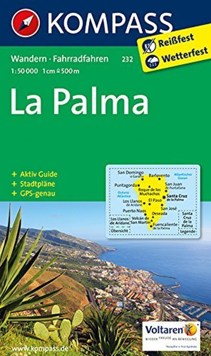
- La Palma Kompass 232
- La Palma at 1:50,000 on a waterproof and tear-resistant, contoured and GPS compatible map from Kompass, with extensive tourist overprint, plus street plans of Santa Cruz de la Palma and Los Llanos de Aridane.Topography is vividly presented by contours at 100m intervals, enhanced by relief shading plus spot heights. An overprint highlights local... Read more
- Also available from:
- De Zwerver, Netherlands
De Zwerver
Netherlands
Netherlands
- Wandelkaart 232 La Palma | Kompass
- Die 3in1Wanderkarte ist jetzt noch übersichtlicher und besser lesbar. Die Wanderkarte ist mit zusätzlichen Stadtplänen ausgestattet. Der Aktiv Guide informiert Sie rund um das Thema Outdoor. Das bildet die perfekte Grundlage für die Planung einer Wandertour. Die präzise Kartografie zeigt alle begehbaren Wanderwege inklusive Klassifizierung.... Read more
Maps
Bol.com
Netherlands
Netherlands
- Kompass WK232 La Palma
- Toeristische kaart voor wandelen, fietsen en vrije tijd met activiteitengids en stadsplattegronden • goed leesbare schaal van 1:50 000 • te gebruiken met GPS • met praktische informatie over de regio • wandel- en fietspaden • aanbevolen routes • kastelen • uitzichtpunten • stranden en baaien • toeristische informatie • veel topografische... Read more
- Also available from:
- Bol.com, Belgium
Bol.com
Belgium
Belgium
- Kompass WK232 La Palma
- Toeristische kaart voor wandelen, fietsen en vrije tijd met activiteitengids en stadsplattegronden • goed leesbare schaal van 1:50 000 • te gebruiken met GPS • met praktische informatie over de regio • wandel- en fietspaden • aanbevolen routes • kastelen • uitzichtpunten • stranden en baaien • toeristische informatie • veel topografische... Read more