
Sweden
Description

Sweden has thousands of kilometers of hiking trails. The majority leads through the low, often sparsely populated regions. The landscape certainly isn't all stereotype forests and lakes, but also many places of cultural historical interest, towns, villages and countryside.
Trails are well documented and marked, and often looked after by local communities. There are huts, mostly self-service, where you can warm up by a wood-burning stove, dry your clothes and stay overnight. Hundreds of youth hostels are spread about the country, as are many small campsites popular with hikers. Maps of long distance trails are available locally. Do not expect to meet up with hordes of other hikers, and bring enough food. Walking in these low regions is good from early spring until late autumn.
Swedish mountains are a different story altogether. This is rough country, so count on alpine circumstances, and plan your walk between halfway June and halfway September. Most famous is Kungsleden, a trail up north in Lapland. It has existed for almost one hundred years and leads you up Swedens highest mountaintops. More mountainous areas are to be found further south, along the border with Norway. The STF, Swedish Tourist Club, has mountain huts at regular intervals in all these regions.
If all this isn't challenging enough for you, try roaming freely through the Lapland wilderness, without trails or huts, for instance in Sarek National Park.
Trails
- AnebyledenGPX
- ArnäsledenGPX
- Öreälvens Vandringsled
- ÖsterlenledenGPX
- ÖstgötaledenGPX
- ÄngenledenGPX
- Ås till åsledenGPX
- ÅsundenledenGPX
- Baltic Trail
- BauerledenGPX
- BergslagsledenGPX
- BillingeledenGPX
- Blå ledenGPX
- Blekinge VildmarksledGPX
- BlekingeledenGPX
- BohusledenGPX
- Bonnaleder
- BruksledenGPX
- DackeledenGPX
- Domarvëgen
- E1GPX
- E6GPX
- Fäbodvandringar Ljusbodarna-Leksand
- FinnledenGPX
- FinnskogledenGPX
- FinnskogsledenGPX
- FinnvägenGPX
- FlottarstigenGPX
- Fryksdalen - Klarälvsdalen
- Funäsfjällen
- Gagnefs vandringsleder
- GästrikeledenGPX
- GislavedsledenGPX
- GlasbruksledenGPX
- GlaskogenGPX
- Grensesømmen
- HallandsledenGPX
- HälsingeledenGPX
- Höga KustenledenGPX
- HöglandsledenGPX
- HögsbyledenGPX
- HolavedsledenGPX
- IsälvsledenGPX
- Jämt-Norge-LedenGPX
- JämtlandsfjällenGPX
- JärnbärarledenGPX
- John BauerledenGPX
- KajvallsledenGPX
- KalmarsundsledenGPX
- KårböleledenGPX
- KinnekulleledenGPX
- Kittelfjall-Borgafjall
- KnalleledenGPX
- KolarstigenGPX
- KungsledenGPX
- Lögdeälvens Vildmarksled
- LönnebergaledenGPX
- Ljugarns Vandringsleder
- Ljungdalsfjällen
- LjusnanledenGPX
- Malingsbo-KlotenrundanGPX
- MönsteråsledenGPX
- MörbylångaledenGPX
- MittnordenledenGPX
- MuddusledenGPX
- MunkastigenGPX
- Njudungsleden
- NordkalottledenGPX
- NordlandsrutaGPX
- North Sea TrailGPX
- Nynäsleden
- OstkustledenGPX
- PadjelantaledenGPX
- Pilgrimsled st OlofGPX
- PilgrimsledenGPX
- RallarstigenGPX
- Rallarvägen
- RedvägsledenGPX
- RomboledenGPX
- RoslagsledenGPX
- RuijaledenGPX
- Santiago de Compostela Pilgrims WayGPX
- Sävsjöleden
- Södra VätterledenGPX
- SörmlandsledenGPX
- SevedeledenGPX
- SigfridsledenGPX
- SiljansledenGPX
- SilverledenGPX
- SjuhäradsledenGPX
- SjuvallsledenGPX
- SkaneledenGPX
- SkåneledenGPX
- Skåneleden kust till kustGPX
- Skåneleden nord till syd
- Skånleden
- Skånvagen
- SméledenGPX
- StorspåretGPX
- SvågaledenGPX
- TavelsjöledenGPX
- TjustledenGPX
- TorsåsledenGPX
- UpplandsledenGPX
- UtvandrarledenGPX
- VasaloppsledenGPX
- Värmlandsleden
- Västra Vätternleden
- Verkeån vandringsled
- VildmarksledenGPX
- Vildmarksleden Falun
- Vildmarksleden SmålandGPX
Regions
States
Links
Facts
Reports
Guides and maps
Lodging
Organisations
Tour operators
GPS
Other
Books

United Kingdom
- Tärnaby - Hemavan - Ammarnäs Lantmateriet AC2
- Mountain areas of central and northern Sweden on waterproof and tear-resistant, GPS compatible topographic “Fjällkartan” maps at 1:100,000 and 1:50,000 from Lantmäteriet - the country’s national survey organization, with hiking and ski routes, campsites and youth hostels, etc. Relief is shown by contours at 20m intervals and enhanced by relief... Read more


Netherlands
- Sweden
- Contains an insider's guide to Swedish culture from Strindberg to ABBA; coverage of outdoor activities with a special section on the most popular trekking routes; up-to-date accommodation and restaurant selections to suit all budgets; the hottest entertainment options; and a helpful language guide with glossary. Read more
- Also available from:
- Bol.com, Belgium
Belgium
- Sweden
- Contains an insider's guide to Swedish culture from Strindberg to ABBA; coverage of outdoor activities with a special section on the most popular trekking routes; up-to-date accommodation and restaurant selections to suit all budgets; the hottest entertainment options; and a helpful language guide with glossary. Read more

United Kingdom
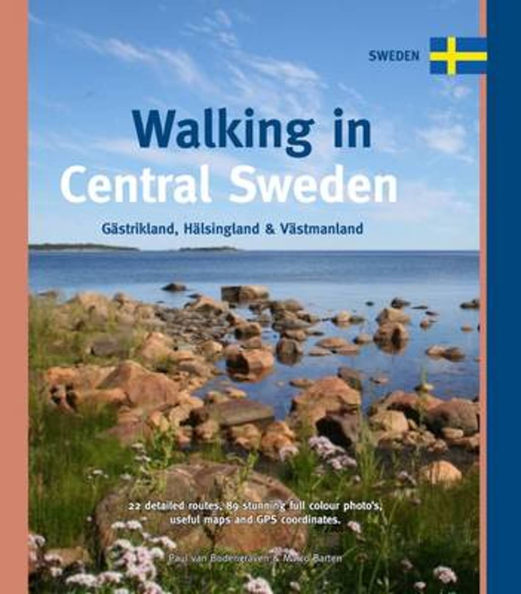
- Walking in Central Sweden
- Gastrikland, Halsingland & Vastmanland Read more
- Also available from:
- Bol.com, Netherlands
- Bol.com, Belgium
Netherlands
- Walking in Central Sweden
- The best of both worlds: that's what you find when you retreat into the countryside in Central Sweden. This is where North and South meet each other, and where big game such as bear, lynx, wolf and moose roam around on the outskirts of the civilized world. Here the colder, northern climate meets the milder, southern weather. You find plants... Read more
Belgium
- Walking in Central Sweden
- The best of both worlds: that's what you find when you retreat into the countryside in Central Sweden. This is where North and South meet each other, and where big game such as bear, lynx, wolf and moose roam around on the outskirts of the civilized world. Here the colder, northern climate meets the milder, southern weather. You find plants... Read more
Netherlands
- Norwegian Cruising Guide 7th Edition Vol 1
- The original, most complete and most up-to-date guide for mariners to the coasts of Norway, Svalbard (Spitsbergen), and the west coast of Sweden. 800 pages in three volumes. 950 ports and anchorages. Tips on cruising northern destinations gathered by the authors during 20 years and 120,000 miles of North Atlantic cruising. Insider's perspective... Read more
- Also available from:
- Bol.com, Belgium
Belgium
- Norwegian Cruising Guide 7th Edition Vol 1
- The original, most complete and most up-to-date guide for mariners to the coasts of Norway, Svalbard (Spitsbergen), and the west coast of Sweden. 800 pages in three volumes. 950 ports and anchorages. Tips on cruising northern destinations gathered by the authors during 20 years and 120,000 miles of North Atlantic cruising. Insider's perspective... Read more
Netherlands
2017
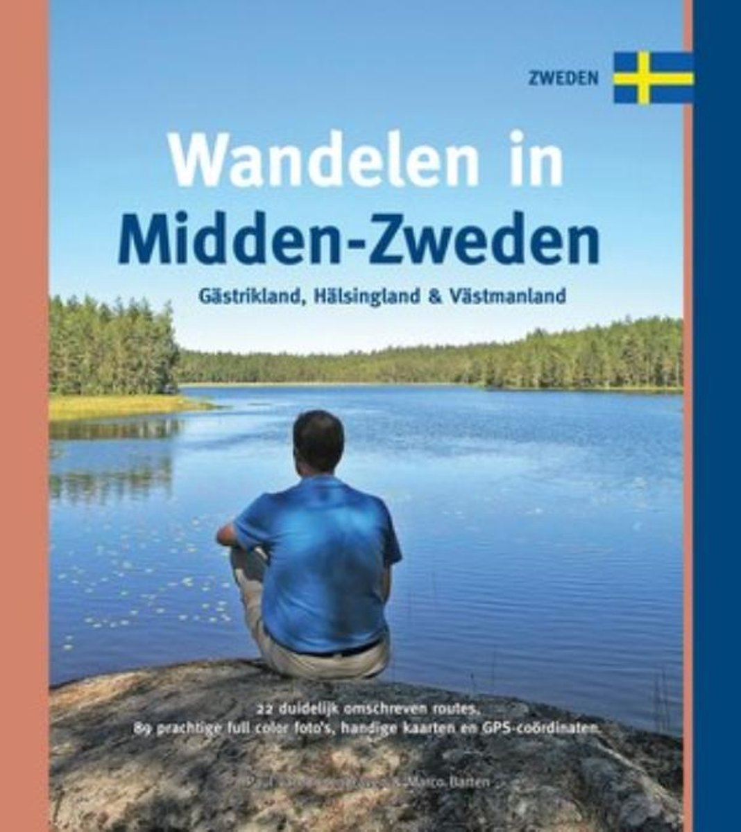
- Wandelen in Midden-Zweden
- Gids met 22 rondwandelingen in Midden Zweden, de regio's Gästrikland, Hälsingland en Västmanland. Het beste van twee werelden, dat is wat je in Midden-Zweden vindt als je de natuur in trekt. Hier ontmoeten noord en zuid elkaar, hier snuffelt het grote wild - beer, lynx, wolf en eland - aan de rand van de menselijke wereld. Het koudere,... Read more
- Also available from:
- Bol.com, Belgium
- De Zwerver, Netherlands
Belgium
2017
- Wandelen in Midden-Zweden
- Gids met 22 rondwandelingen in Midden Zweden, de regio's Gästrikland, Hälsingland en Västmanland. Het beste van twee werelden, dat is wat je in Midden-Zweden vindt als je de natuur in trekt. Hier ontmoeten noord en zuid elkaar, hier snuffelt het grote wild - beer, lynx, wolf en eland - aan de rand van de menselijke wereld. Het koudere,... Read more
Netherlands
2017
- Wandelgids Wandelen in Midden-Zweden | One Day Walks
- Gästrikland, Hälsingland en Västmanland Read more

Netherlands
- Dear Emily, You Are Enough. Love, God
- Ever wondered what you were meant to do with your life? Questioned whether or not there s a path laid out for you, with a greater higher purpose? Meet Emily. A young girl fresh out of college who s determined to find an answer. Beginning her journey in Bali, Indonesia, working as a French teacher for an international language school, she... Read more
- Also available from:
- Bol.com, Belgium
Belgium
- Dear Emily, You Are Enough. Love, God
- Ever wondered what you were meant to do with your life? Questioned whether or not there s a path laid out for you, with a greater higher purpose? Meet Emily. A young girl fresh out of college who s determined to find an answer. Beginning her journey in Bali, Indonesia, working as a French teacher for an international language school, she... Read more
Maps

United Kingdom
- Årjäng
- Topographic survey of Sweden at 1:50,000, the Terrängkartan, from the Lantmäteriet, covering most of the country in 244 double-sided maps. Please note: the mountainous regions of central and northern Sweden are not covered by this series but presented in a separate “Fjällkartan - Mountain Map” series also listed on our website.Each 1:50,000... Read more
United Kingdom
- Junsele
- Topographic survey of Sweden at 1:50,000, the Terrängkartan, from the Lantmäteriet, covering most of the country in 244 double-sided maps. Please note: the mountainous regions of central and northern Sweden are not covered by this series but presented in a separate “Fjällkartan - Mountain Map” series also listed on our website.Each 1:50,000... Read more
United Kingdom
- Öregrund
- Topographic survey of Sweden at 1:50,000, the Terrängkartan, from the Lantmäteriet, covering most of the country in 244 double-sided maps. Please note: the mountainous regions of central and northern Sweden are not covered by this series but presented in a separate “Fjällkartan - Mountain Map” series also listed on our website.Each 1:50,000... Read more
United Kingdom
- Umeå
- Topographic survey of Sweden at 1:50,000, the Terrängkartan, from the Lantmäteriet, covering most of the country in 244 double-sided maps. Please note: the mountainous regions of central and northern Sweden are not covered by this series but presented in a separate “Fjällkartan - Mountain Map” series also listed on our website.Each 1:50,000... Read more

United Kingdom
- Östhammar
- Topographic survey of Sweden at 1:100,000, the Vägkartan, from the Lantmäteriet, covering most of the country in 79 double-sided maps. Please note: the mountainous regions of central and northern Sweden are not covered by this series but presented in a separate “Fjällkartan - Mountain Map” series also listed on our website.Each 1:100,000... Read more
United Kingdom
- Norsjö
- Topographic survey of Sweden at 1:50,000, the Terrängkartan, from the Lantmäteriet, covering most of the country in 244 double-sided maps. Please note: the mountainous regions of central and northern Sweden are not covered by this series but presented in a separate “Fjällkartan - Mountain Map” series also listed on our website.Each 1:50,000... Read more
United Kingdom
- Östersund
- Topographic survey of Sweden at 1:50,000, the Terrängkartan, from the Lantmäteriet, covering most of the country in 244 double-sided maps. Please note: the mountainous regions of central and northern Sweden are not covered by this series but presented in a separate “Fjällkartan - Mountain Map” series also listed on our website.Each 1:50,000... Read more
United Kingdom
- Lauker
- Topographic survey of Sweden at 1:50,000, the Terrängkartan, from the Lantmäteriet, covering most of the country in 244 double-sided maps. Please note: the mountainous regions of central and northern Sweden are not covered by this series but presented in a separate “Fjällkartan - Mountain Map” series also listed on our website.Each 1:50,000... Read more
United Kingdom
- Råneå
- Topographic survey of Sweden at 1:50,000, the Terrängkartan, from the Lantmäteriet, covering most of the country in 244 double-sided maps. Please note: the mountainous regions of central and northern Sweden are not covered by this series but presented in a separate “Fjällkartan - Mountain Map” series also listed on our website.Each 1:50,000... Read more
United Kingdom
- Sidensjö
- Topographic survey of Sweden at 1:50,000, the Terrängkartan, from the Lantmäteriet, covering most of the country in 244 double-sided maps. Please note: the mountainous regions of central and northern Sweden are not covered by this series but presented in a separate “Fjällkartan - Mountain Map” series also listed on our website.Each 1:50,000... Read more
United Kingdom
- Vistträsk
- Topographic survey of Sweden at 1:100,000, the Vägkartan, from the Lantmäteriet, covering most of the country in 79 double-sided maps. Please note: the mountainous regions of central and northern Sweden are not covered by this series but presented in a separate “Fjällkartan - Mountain Map” series also listed on our website.Each 1:100,000... Read more
United Kingdom
- Sälen
- Topographic survey of Sweden at 1:50,000, the Terrängkartan, from the Lantmäteriet, covering most of the country in 244 double-sided maps. Please note: the mountainous regions of central and northern Sweden are not covered by this series but presented in a separate “Fjällkartan - Mountain Map” series also listed on our website.Each 1:50,000... Read more
United Kingdom
- Uddevalla
- Topographic survey of Sweden at 1:100,000, the Vägkartan, from the Lantmäteriet, covering most of the country in 79 double-sided maps. Please note: the mountainous regions of central and northern Sweden are not covered by this series but presented in a separate “Fjällkartan - Mountain Map” series also listed on our website.Each 1:100,000... Read more
United Kingdom
- Nysäter
- Topographic survey of Sweden at 1:50,000, the Terrängkartan, from the Lantmäteriet, covering most of the country in 244 double-sided maps. Please note: the mountainous regions of central and northern Sweden are not covered by this series but presented in a separate “Fjällkartan - Mountain Map” series also listed on our website.Each 1:50,000... Read more

United Kingdom
- Åre Lantmateriet Z51
- Mountain areas of central and northern Sweden on waterproof and tear-resistant, GPS compatible topographic “Fjällkartan” maps at 1:100,000 and 1:50,000 from Lantmäteriet - the country’s national survey organization, with hiking and ski routes, campsites and youth hostels, etc. Relief is shown by contours at 20m intervals and enhanced by relief... Read more