Australia
Description
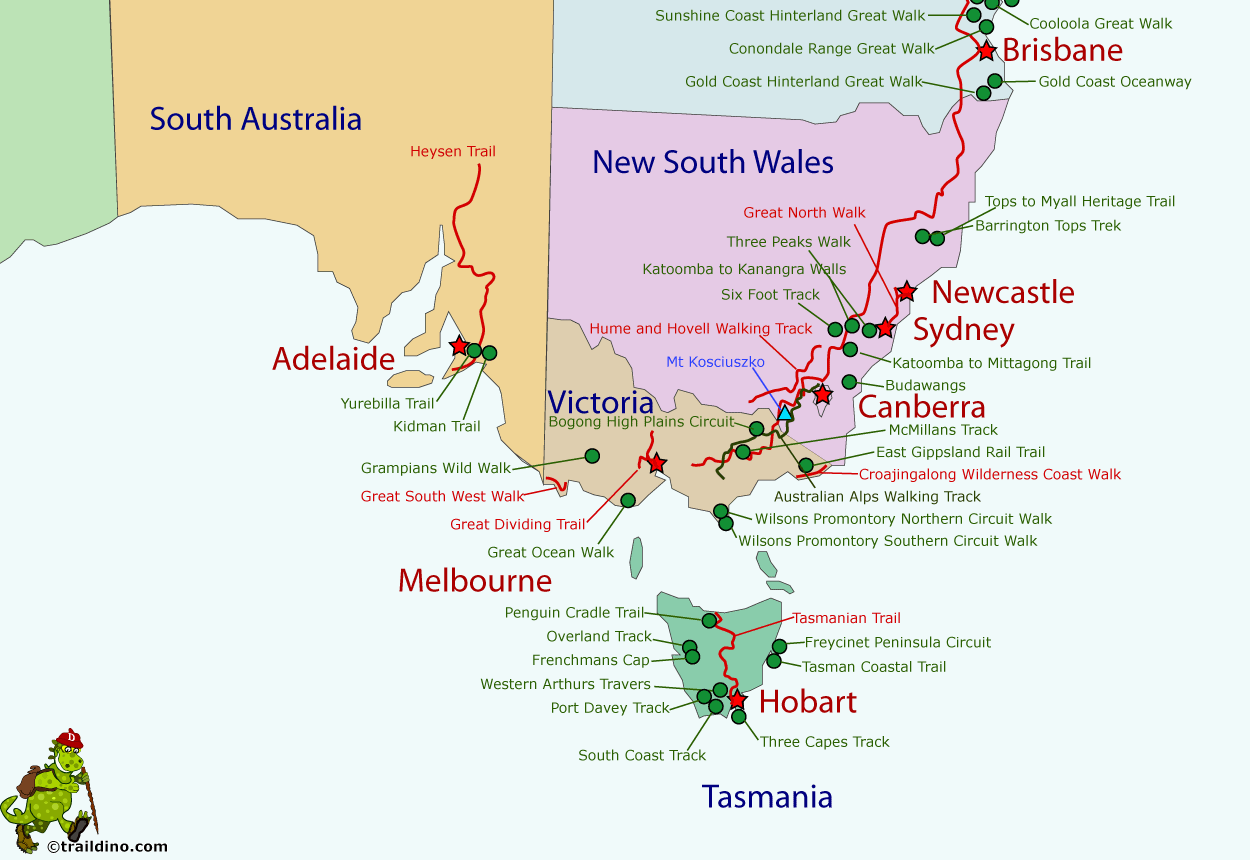
Bushwalking is Australian for hiking and more. In this incredibly vast and wild continent (6th largest country in the world, and 31 x the United Kingdom), any European spoilt with luxurious mountain huts and meticulously marked trails, is bound to encounter his or her roughest alter ego. Bushwalking means finding your own way, knowing how to localise water, carrying food for a week, and putting up your tent in the wilderness among pestering flies, aggressive Dingoes and Kookaburras snatching the food from your mouth.
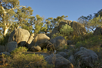
The Australian landmass has ancient origins, resulting in strongly eroded mountain massifs reaching no higher than Mount Kosciuszko at 2228 m. Nature is most varied, ranging from rain forests up north to vast inland deserts, from snowy mountains in Tasmania and Victoria to the more than 7000 beaches. Forests of beach and eucalyptus give the country colour and scent. Several trails lead to the most remarkable aboriginal rock paintings and sculptures, some of which are more than 1000 years old.
So varied is Australian nature, that the image of the hot continent really must be dismissed as a myth. Australian summers can in fact be very hot and dry in parts of the country. But summer is the best time to walk in the Australian Alps or on the island of Tasmania. Winter is excellent for hiking in humid Queensland and the dry central inland areas of Australia. Spring and autumn make for good hiking almost anywhere in the country.
Hiking is possible on all levels of difficulty and in all biotopes. The many national parks, sometimes the size of a full grown country, are good for both day hikes and long distance walks. Longest in the country (and allegedly in the world, but this is disputed) is the 5330 km Bicentennial National Trail. Walking “by the stars” is not unusual in Australia: the true bushwalker needs no map or path. Sections of some trails are unmarked, or absent altogether. You will need to find your way with a map only, or by following the course of a river. Some people venture across the entire continent on foot, like John Muir. He made a film about it, titled “Alone Across Australia”. In many national parks you will need a permit, and reservations for camp sites and huts.
The longest hiking or multi-use trails are:
- Bicentennial National Trail (Victoria, New South Wales, Queensland), 5330 km
- Heysen Trail (South Australia), 1144 km
- Bibbulmun Track (Western Australia), 961 km
- Australian Alps Walking Track (Victoria, New South Wales), 683 km
- Tasmanian Trail (Tasmania), 477 km
- Hume and Hovell Track (New South Wales), 440 km
- Great North Walk (New South Wales), 250 km
- Great South West Walk (Victoria), 250 km
- Great Dividing Trail (Victoria), 240 km
- Larapinta Trail (Northern Territory), 230 km
- McMillans Track (Victoria), 220 km
- Tops to Myall Heritage Trail (New South Wales), 220 km
- Katoomba to Mittagong Trail (New South Wales), 132 km
- Cape to Cape Track (Western Australia), 124 km
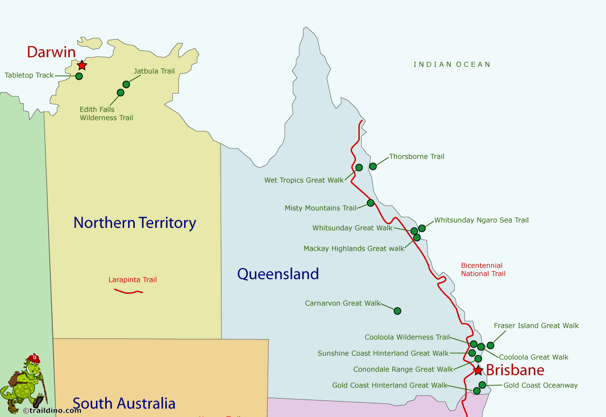
A number of Australian trails find their origins in the national parks, and are maintained by the national park authorities. Within these parks you will always find possibilities for shorter hikes. Other – often longer - trails are private initiatives and being maintained by foundations or non-profit community organisations. In some cases the state government is responsible for a trail. Over the past years for instance, Queensland has opened ten Great Walks, long distance walks through the most beautiful regions of the tropical northeast.
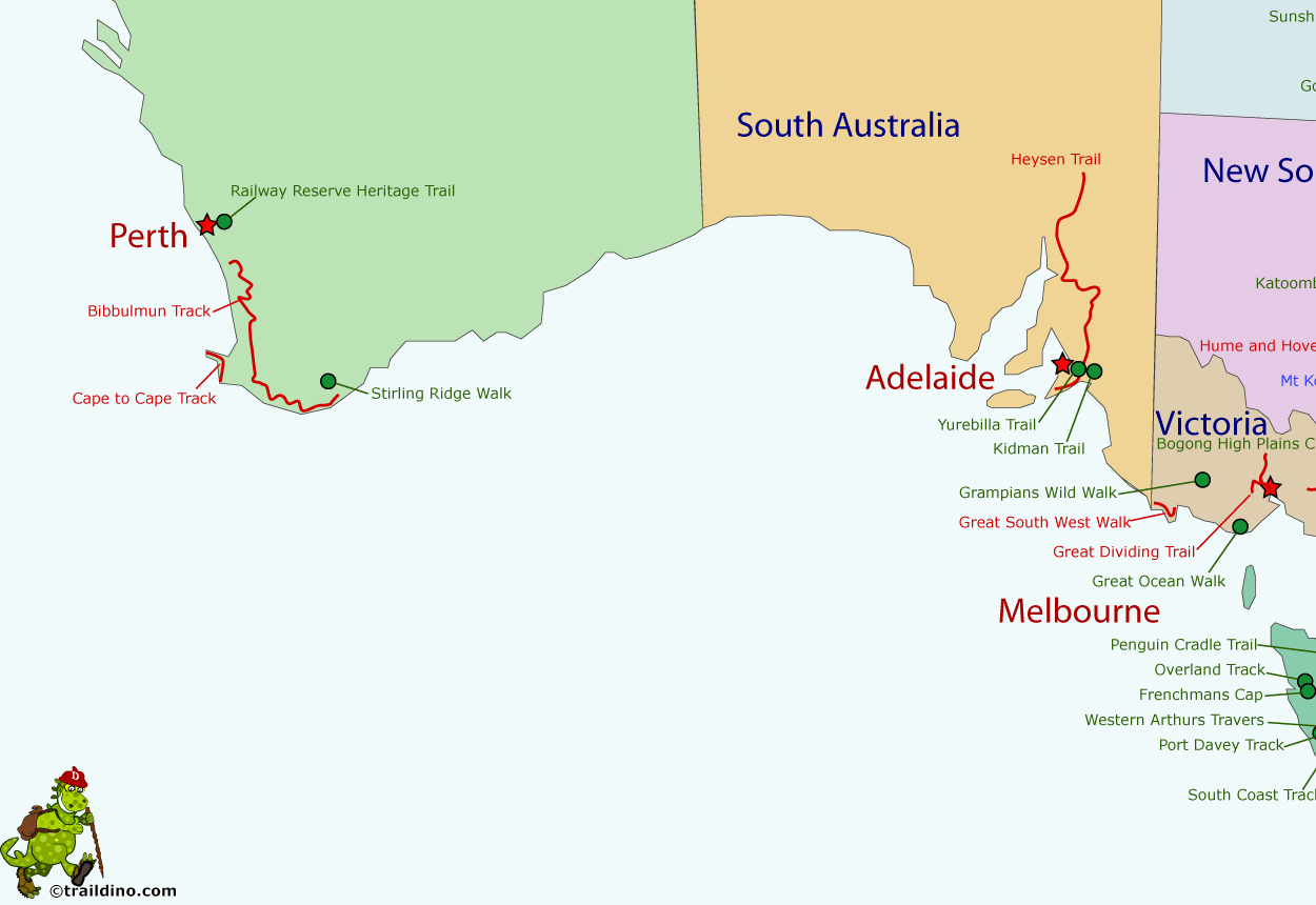
Camping is the rule, huts are an exception. On the Bibbulman Track and the popular Overland Track (Tasmania) it is possible to walk from hut to hut. But on other walks you will need to bring your own tent. Be prepared to carry all your food, and plan ahead carefully where to stock up on water, because summer in many parts of Australia is dry. Open fires are often prohibited due to forest fire risk, so carry your own stove for cooking.
Last but not least, one of Australia's top bushwalkers, John Chapman, is always ready to share all his know-how and experiences with you. His website www.john.chapman.name is the authority, so don't forget to check what he has to say before taking off.
Map
Trails
- Australian Alps Walking TrackGPX
- Barrington Tops Trek
- Bibbulmun TrackGPX
- Bicentennial National TrailGPX
- Bogong High Plains Circuit
- Budawangs
- Cape to Cape TrackGPX
- Carnarvon Great Walk
- Coastal Plains Walk Trail
- Conondale Range Great WalkGPX
- Cooloola Great WalkGPX
- Cooloola Wilderness Trail
- Croajingolong Wilderness Coast Walk
- East Gippsland Rail Trail
- Edith Falls Wilderness Trail
- Fraser Island Great WalkGPX
- Frenchmans Cap
- Freycinet Peninsula Circuit
- Gold Coast Hinterland Great WalkGPX
- Gold Coast Oceanway
- Grampians Wild Walk
- Great Dividing TrailGPX
- Great North WalkGPX
- Great Ocean WalkGPX
- Great South West WalkGPX
- Heysen TrailGPX
- Hume and Hovell Walking TrackGPX
- Jatbula TrailGPX
- Katoomba to Kanangra Walls
- Katoomba to Mittagong Trail
- Kidman Trail
- Larapinta TrailGPX
- Mackay Highlands Great WalkGPX
- McMillans Track
- Misty Mountains Trail
- Overland TrackGPX
- Penguin Cradle TrailGPX
- Port Davey Track
- Railway Reserve Heritage TrailGPX
- Six Foot TrackGPX
- South Coast TrackGPX
- Stirling Ridge Walk
- Sunshine Coast Hinterland Great WalkGPX
- Tabletop Track
- Tasman Coastal Trail
- Tasmanian Trail
- Thorsborne Trail
- Three Capes TrackGPX
- Three Peaks Bushwalk
- Tops to Myall Heritage Trail
- Western Arthurs Traverse
- Wet Tropics Great Walk
- Whitsunday Great Walk
- Whitsunday Ngaro Sea Trail Great Walk
- Wilsons Promontory Northern Circuit
- Wilsons Promontory Southern CircuitGPX
- Yurrebilla TrailGPX
Regions
- Adelaide Hills
- Alpine National Park
- Australian Alps
- Australian Alps National Park
- Bald Rock National Park
- Barrington Tops National Parks
- Baw Baw National Park
- Beedelup National Park
- Belair National Park
- Blue Mountains
- Blue Mountains National Park
- Brindabella National Park
- Brisbane Water National Park
- Budawang National Park
- Carnarvon National Park
- Cedar Bay National Park
- Conondale National Park
- Cradle Mountain-Lake St Clair National Park
- Croajingolong National Park
- D'Entrecasteaux National Park
- Deep Creek Conservation Park
- Eungella National Park
- Flinders Ranges National Park
- Franklin-Gordon Wild Rivers National Park
- Fraser Island
- Freycinet National Park
- Gibralter Range National Park
- Girringun National Park
- Great Otway National Park
- Great Sandy National Park
- Greenmount National Park
- Guy Fawkes National Park
- Hinchinbrook Island National Park
- Homevale National Park
- John Forrest National Park
- Kalamunda National Park
- Kondalilla National Park
- Kosciuszko National Park
- Ku-ring-gai Chase National Park
- Lamington National Park
- Lane Cove National Park
- Leeuwin-Naturaliste National Park
- Litchfield National Park
- MacDonnell Ranges
- Mapleton Falls National Park
- Marengo Reefs Marine Sanctuary
- Morton National Park
- Mount Remarkable National Park
- Myall Lakes National Park
- Namadgi National Park
- Nitmiluk National Park
- Oxley Wild Rovers National Park
- Perth Hills National Park
- Port Campbell National Park
- Ravensbourne National Park
- Shannon National Park
- Southwest National Park
- Springbrook National Park
- Stirling Range National Park
- Sunshine Coast
- Tasman National Park
- Torndirrup National Park
- Twelve Apostles Marine National Park
- Walshpool National Park
- Werrikimbe National Park
- West Cape Howe National Park
- West MacDonnell National Park
- Whitsunday National Park
- William Bay National Park
- Wilsons Promontory National Park
- Woko National Park
- Wollemi National Park
States
Mountains
Links
Facts
Reports
Guides and maps
Lodging
Organisations
Tour operators
GPS
Other
Books

United Kingdom
- Australia`s Best Walks
- “Australia’s Best Walks” contains 20 walks covering all of the country’s states, each of varying degrees of difficulty and type, meaning it has at least one walk for every type of hiker.Each state has it’s own introduction, detailing the natural history of it and a brief idea of the terrain to expect; the walks themselves include information on... Read more

United Kingdom
- Walks in Nature: Australia 2nd edition
- Easy Escapes into Unspoiled Landscapes Complete with Foodie Stops Read more
- Also available from:
- De Zwerver, Netherlands

United Kingdom
- Walking with the ANZACS
- The authoritative guide to the Australian battlefields of the Western Front Read more

United Kingdom
2022
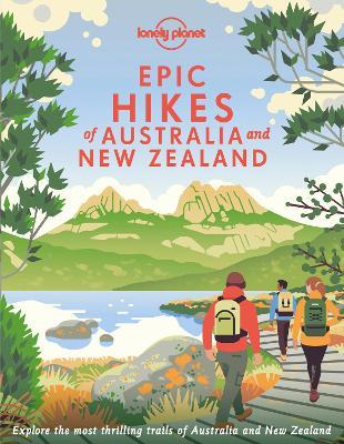
- Lonely Planet Epic Hikes of Australia & New Zealand
- Lace up your hiking boots for the next in Lonely Planet`s highly successful Epic Hikes series, this time exploring 50 of Australia and New Zealand`s most rewarding treks and trails. From the Routeburn Track in New Zealand`s South Island to the Cape to Cape walk in Western Australia`s Leeuwin-Naturaliste National Park, we cover a huge variety of... Read more
- Also available from:
- De Zwerver, Netherlands
Netherlands
2022
- Wandelgids Hikes of Australia and New Zealand | Lonely Planet
- Lace up your hiking boots for the next in Lonely Planet`s highly successful Epic Hikes series, this time exploring 50 of Australia and New Zealand`s most rewarding treks and trails. From the Routeburn Track in New Zealand`s South Island to the Cape to Cape walk in Western Australia`s Leeuwin-Naturaliste National Park, we cover a huge variety of... Read more

Netherlands
- 1920s Annandale
- 1920s Annandale was a busy place. There was the retail strip along Parramatta Road, the timber businesses on the harbour. In between, there were builders, fibrous plasterers, stonemasons and the Pictures. Confectionery, Jam, Pianos and Radios were all being made in Annandale. Though change was coming, motor vehicles were crashing into... Read more
- Also available from:
- Bol.com, Belgium

Belgium
- 1920s Annandale
- 1920s Annandale was a busy place. There was the retail strip along Parramatta Road, the timber businesses on the harbour. In between, there were builders, fibrous plasterers, stonemasons and the Pictures. Confectionery, Jam, Pianos and Radios were all being made in Annandale. Though change was coming, motor vehicles were crashing into... Read more

Netherlands
- An Idiot's Guide to
- This is the original book by John Lockard, which has been edited to bring it in line with modern standards to provide an enjoyable and engaging account as set out by John Lockard. Complete with illustrations to bring the ideas on the page to life in full colour. This book is intended for both the beginners and the seasoned pros, and for those... Read more
- Also available from:
- Bol.com, Belgium

Belgium
- An Idiot's Guide to
- This is the original book by John Lockard, which has been edited to bring it in line with modern standards to provide an enjoyable and engaging account as set out by John Lockard. Complete with illustrations to bring the ideas on the page to life in full colour. This book is intended for both the beginners and the seasoned pros, and for those... Read more

Netherlands
- Campervan Kama Sutra
- Campervan Kama SutraOutback Australia, with a camper trailer, three kids and a dog.*This true story tells of one family's hilarious journey through Australia's rugged outback countryside.Our intrepid adventurers work their way through numerous mishaps, including, but not limited to, an ill-advised river crossing, an inappropriately packed roof... Read more
- Also available from:
- Bol.com, Belgium

Belgium
- Campervan Kama Sutra
- Campervan Kama SutraOutback Australia, with a camper trailer, three kids and a dog.*This true story tells of one family's hilarious journey through Australia's rugged outback countryside.Our intrepid adventurers work their way through numerous mishaps, including, but not limited to, an ill-advised river crossing, an inappropriately packed roof... Read more
Netherlands
- With Every Step
- "The story of my son, who made an epic solo trek around Australia in honour of a mate who died too young, only to lose his own life weeks later.' Neil Cadigan In late 2010 Andrew 'Cad' Cadigan quit his job, sold his home and set out to walk around Australia. He was doing it in honour of a mate, Chris Simpson, who had recently succumbed to a... Read more
- Also available from:
- Bol.com, Belgium
Belgium
- With Every Step
- "The story of my son, who made an epic solo trek around Australia in honour of a mate who died too young, only to lose his own life weeks later.' Neil Cadigan In late 2010 Andrew 'Cad' Cadigan quit his job, sold his home and set out to walk around Australia. He was doing it in honour of a mate, Chris Simpson, who had recently succumbed to a... Read more
Maps

United Kingdom
- World & Flags Hema Political Pacific-Centred
- The world at 1:40,850,000 presented with Pacific Ocean in the centre on a double-sided folded map from the Australian publishers Hema; political version on one side and a physical map on the reverse. Each side shows the land masses against the background of light blue oceans with bathymetric tints to reflect the depth of the ocean floor. Polar... Read more
Netherlands
2011
- Wegenkaart - landkaart Australia - Australie | ITMB
- Australia 1 : 3 500 000 ab 10.5 EURO Waterproof International Travel Map ITM. 8th edition Read more
Netherlands
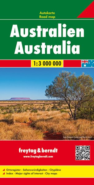
- Wegenkaart - landkaart Australia - Australië | Freytag & Berndt
- Australien 1 : 3.000.000 ab 10.9 EURO Auto + Straßenkarten Freytag & Berndt Autokarte Freytag & Berndt Auto + Freizeitkarte. Neuauflage, Laufzeit bis 2020 Read more

Netherlands
- Wegenkaart - landkaart Australië - Australia | Hallwag
- Australien 1 : 4 000 000 ab 11.95 EURO Straßenkarte mit Sehenswürdigkeiten, Reiseinformationen, Index und Distoguide. (Road Map) Road Map Hallwag Straßenkarte. 2. Auflage, Laufzeit bis 2015 Read more
Netherlands
2017
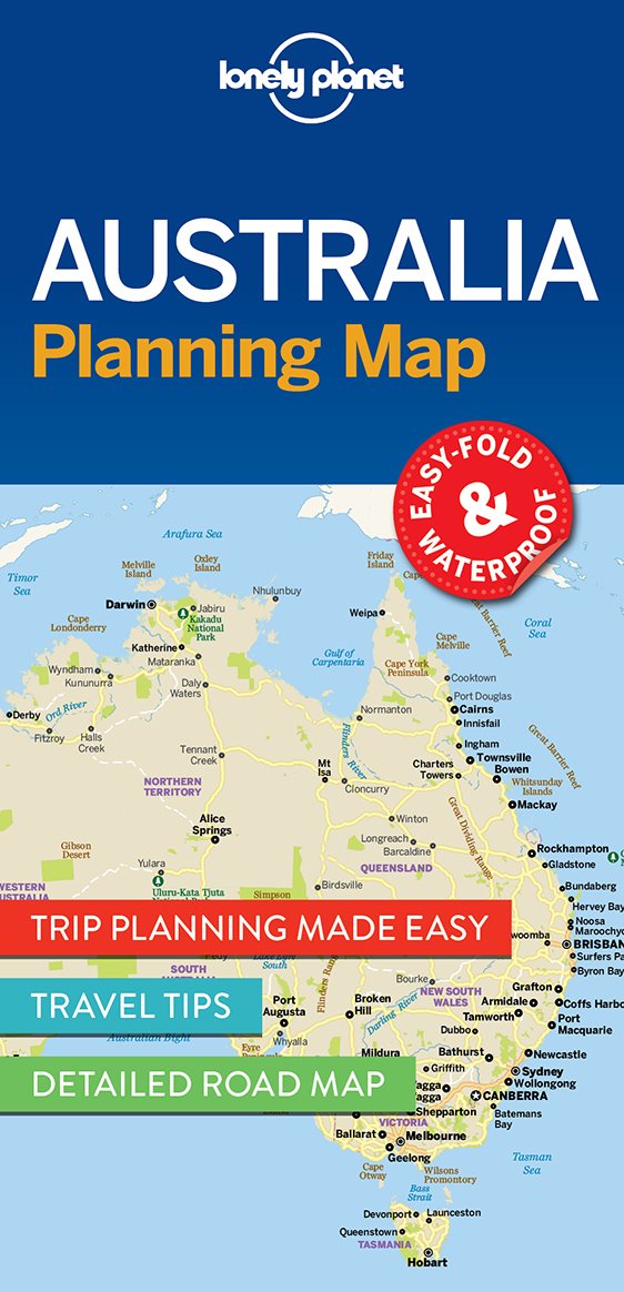
- Wegenkaart - landkaart Planning Map Australia - Australië | Lonely Planet
- Australia Planning Map ab 5.99 EURO Must-See Highlights, Travel Tips, Transport Planner. Easy-fold, waterproof Lonely Planet Planning Map. 1st edition Read more
Netherlands
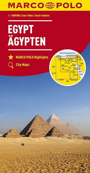
- Wegenkaart - landkaart Egypt - Egypte | Marco Polo
- MARCO POLO Länderkarte Ägypten 1:1 100 000 ab 11.99 EURO MARCO POLO Highlights, City Maps MARCO POLO Kontinental-/Länderkarten Marco Polo Karte. 3. Auflage Read more
Netherlands
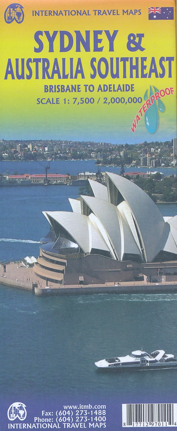
- Wegenkaart - landkaart Sydney & Australia Southeast | ITMB
- Stadtplan Sidney /Australia Southeast 1:7.500 / 2.000.000 ab 10.49 EURO doppelseitig, wasserfest Stpl. Sydney, Sydney Ferry Map Australia East International Travel Map ITM. 3. Auflage Read more


